Public land
Gunnison National Forest
Gunnison National Forest is a national forest in Colorado. It covers 1,666,609 acres. USFS manages it. Landgogh lists 79 places here: 48 trailheads, 14 dispersed campings, 8 campgrounds (free public), and 9 other places. Nearest towns: Gunnison, Snowmass, and Aspen.
79 places
Trailheads
See all 48-
Trailhead Agate Creek Spur Trailhead 34.7 mi from Gunnison National Forest center
-
Trailhead Avery Peak Picnic Site 23.9 mi from Gunnison National Forest center
-
Trailhead Beaver Ponds Trailhead 13.8 mi from Gunnison National Forest center
-
Trailhead Beaver Trailhead 28.2 mi from Gunnison National Forest center
-
Trailhead Beckwith Trailhead 20.8 mi from Gunnison National Forest center
-
Trailhead Big Soap 18.1 mi from Gunnison National Forest center
-
Trailhead Bowman Gulch Trailhead 29.2 mi from Gunnison National Forest center
-
Trailhead Brush Creek (Canyon Inferno) 42.7 mi from Gunnison National Forest center
-
Trailhead Cliff Creek Trailhead 18.8 mi from Gunnison National Forest center
-
Trailhead Coal Mesa Trailhead 19.3 mi from Gunnison National Forest center
-
Trailhead Dark Canyon Trailhead 27.4 mi from Gunnison National Forest center
-
Trailhead Deadman Trailhead 18.3 mi from Gunnison National Forest center
Dispersed Campings
See all 14-
Dispersed Camping Brush Creek Camping Area 18.1 mi from Gunnison National Forest center
-
Dispersed Camping Cement Creek Camping Area 14.9 mi from Gunnison National Forest center
-
Dispersed Camping Farris Creek Camping Area 16.9 mi from Gunnison National Forest center
-
Dispersed Camping Gothic Camping Area 25.6 mi from Gunnison National Forest center
-
Dispersed Camping Kebler Pass Camping Area 16.7 mi from Gunnison National Forest center
-
Dispersed Camping Musicians Camp Camping Area 21.2 mi from Gunnison National Forest center
-
Dispersed Camping Needle Creek Reservoir Camping Area 29.7 mi from Gunnison National Forest center
-
Dispersed Camping Poverty Gulch Camping Area 23.2 mi from Gunnison National Forest center
-
Dispersed Camping Slate River Camping Area 22.9 mi from Gunnison National Forest center
-
Dispersed Camping Splains Gulch Camping Area 16.3 mi from Gunnison National Forest center
-
Dispersed Camping Tent City Camping Area 19.0 mi from Gunnison National Forest center
-
Dispersed Camping Walrod Camping Area 15.5 mi from Gunnison National Forest center
Campgrounds (Free Public)
See all 8-
Campground (Free Public) Cebolla Campground 40.9 mi from Gunnison National Forest center
-
Campground (Free Public) Dorchester Campground 28.7 mi from Gunnison National Forest center
-
Campground (Free Public) Hidden Valley Campground 41.6 mi from Gunnison National Forest center
-
Campground (Free Public) McClure Campground 38.6 mi from Gunnison National Forest center
-
Campground (Free Public) Middle Quartz Campground 29.6 mi from Gunnison National Forest center
-
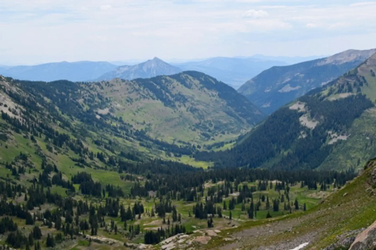 Campground (Free Public)
Oh Be Joyful Recreation Area
20.2 mi from Gunnison National Forest center
-
Campground (Free Public) Slumgullion Campground 46.5 mi from Gunnison National Forest center
-
Campground (Free Public) Spruce Campground 41.0 mi from Gunnison National Forest center
Fishing Accesses
See all 4-
Fishing Access Deer Lakes Fishing Site 43.6 mi from Gunnison National Forest center
-
Fishing Access Lake Irwin Fishing Site 18.5 mi from Gunnison National Forest center
-
Fishing Access Potholes Fishing Site 29.2 mi from Gunnison National Forest center
-
Fishing Access Quartz Creek Fishing Site 23.2 mi from Gunnison National Forest center
Campgrounds (Paid Public)
See all 3Hiking Trails
See all 1Wildlife Areas
1Other public lands
Grand Mesa, Uncompahgre and Gunnison National Forest
78 places
Curecanti National Recreation Area
12 places
Colorado River Valley Field Office
15 places
Pike and San Isabel National Forests & Cimarron and Comanche National Grasslands
193 places
Grand Mesa National Forest
26 places
Uncompahgre Field Office
9 places