Public land
Daniel Boone National Forest
Daniel Boone National Forest is a national forest in Kentucky and Arizona. It covers 563,866 acres. USFS manages it. Landgogh lists 91 places here: 36 trailheads, 17 campgrounds (paid public), 9 campgrounds (free public), and 29 other places. Nearest towns: Stanton, Morehead, and Corbin.
91 places
Trailheads
See all 36-
Trailhead Angel Windows Trailhead 42.0 mi from Daniel Boone National Forest center
-
Trailhead Archaic Trailhead Parking Area 42.5 mi from Daniel Boone National Forest center
-
Trailhead Auxier Ridge Trailhead 42.0 mi from Daniel Boone National Forest center
-
Trailhead Barren Fork Accessible Heritage Trail 125.5 mi from Daniel Boone National Forest center
-
Trailhead Bison Way Trailhead 39.7 mi from Daniel Boone National Forest center
-
Trailhead Bowman Ridge Trailhead 115.8 mi from Daniel Boone National Forest center
-
Trailhead Fort Ancient Parking Area 42.6 mi from Daniel Boone National Forest center
-
Trailhead Glady Trailhead 26.0 mi from Daniel Boone National Forest center
-
Trailhead Grove Boat Check Area Trailhead 109.5 mi from Daniel Boone National Forest center
-
Trailhead Laurel Creek Trailhead 127.0 mi from Daniel Boone National Forest center
-
Trailhead Lick Creek Trailhead 129.7 mi from Daniel Boone National Forest center
-
Trailhead Lower Swift Camp Parking Area 41.0 mi from Daniel Boone National Forest center
Campgrounds (Paid Public)
See all 17-
Campground (Paid Public) Barren Fork Horse Camp 125.6 mi from Daniel Boone National Forest center
-
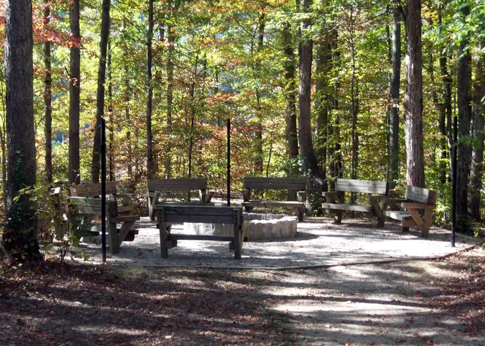 Campground (Paid Public)
Boat Gunnel Group Campground
20.7 mi from Daniel Boone National Forest center
-
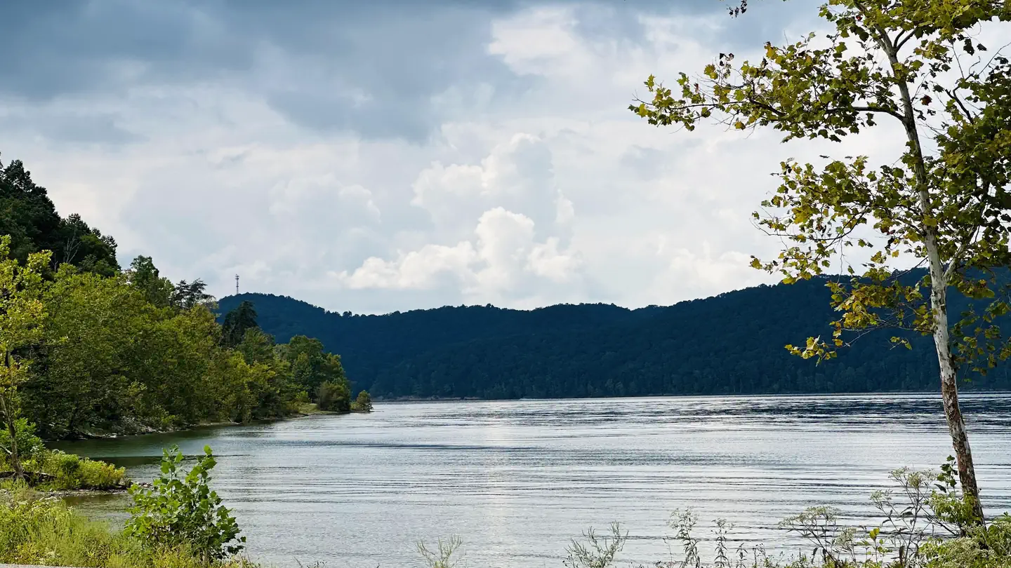 Campground (Paid Public)
Claylick Boat-In Campground
23.1 mi from Daniel Boone National Forest center
-
Campground (Paid Public) Clear Creek Recreation Area 25.6 mi from Daniel Boone National Forest center
-
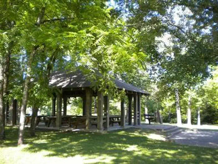 Campground (Paid Public)
Craigs Creek Group Area
107.1 mi from Daniel Boone National Forest center
-
Campground (Paid Public) Great Meadows Campground 141.4 mi from Daniel Boone National Forest center
-
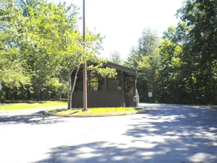 Campground (Paid Public)
Grove
109.3 mi from Daniel Boone National Forest center
-
Campground (Paid Public) Grove Boat-in Campground 108.6 mi from Daniel Boone National Forest center
-
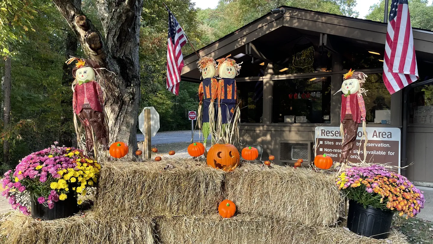 Campground (Paid Public)
Holly Bay
108.1 mi from Daniel Boone National Forest center
-
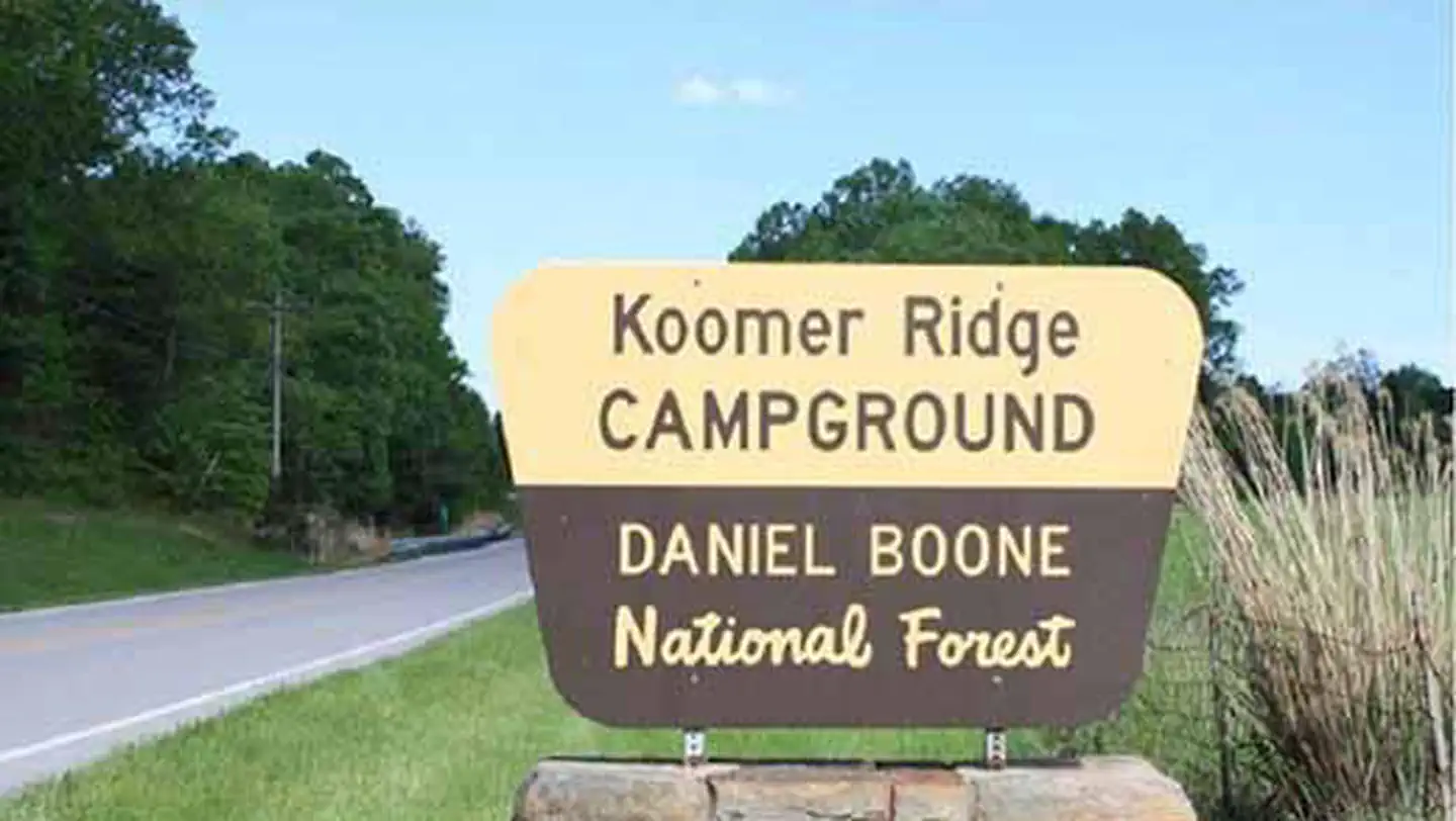 Campground (Paid Public)
Koomer Ridge Campground
43.6 mi from Daniel Boone National Forest center
-
Campground (Paid Public) Natural Arch Scenic Area 122.9 mi from Daniel Boone National Forest center
-
Campground (Paid Public) S-Tree Campground 78.2 mi from Daniel Boone National Forest center
Campgrounds (Free Public)
See all 9-
Campground (Free Public) Bell Farm Horse Camp 137.4 mi from Daniel Boone National Forest center
-
Campground (Free Public) Cumberland District 19.5 mi from Daniel Boone National Forest center
-
Campground (Free Public) Keno Shooting Range 120.9 mi from Daniel Boone National Forest center
-
Campground (Free Public) Laurel River Lake 108.0 mi from Daniel Boone National Forest center
-
Campground (Free Public) Little Lick Campground 112.4 mi from Daniel Boone National Forest center
-
Campground (Free Public) Paragon Dispersed Camping Area 23.7 mi from Daniel Boone National Forest center
-
Campground (Free Public) Rockcastle Campground 111.1 mi from Daniel Boone National Forest center
-
Campground (Free Public) Turkey Foot Campground 69.5 mi from Daniel Boone National Forest center
-
Campground (Free Public) Whitman Branch Shooting Range 110.7 mi from Daniel Boone National Forest center
Dispersed Campings
See all 9-
Dispersed Camping Indian Creek Camping Area 39.3 mi from Daniel Boone National Forest center
-
Dispersed Camping Jellico Creek #1 131.8 mi from Daniel Boone National Forest center
-
Dispersed Camping Jellico Creek #2 131.8 mi from Daniel Boone National Forest center
-
Dispersed Camping Jellico Creek #4 131.9 mi from Daniel Boone National Forest center
-
Dispersed Camping Rock Creek #1 142.7 mi from Daniel Boone National Forest center
-
Dispersed Camping Rock Creek #2 141.2 mi from Daniel Boone National Forest center
-
Dispersed Camping Rock Creek #3 139.7 mi from Daniel Boone National Forest center
-
Dispersed Camping Table Rock Camping Area 134.4 mi from Daniel Boone National Forest center
-
Dispersed Camping Trace Branch Camping Area 135.2 mi from Daniel Boone National Forest center
Fishing Accesses
See all 6-
Fishing Access Fishing Point 108.7 mi from Daniel Boone National Forest center
-
Fishing Access Long Bend Fishing Site 108.5 mi from Daniel Boone National Forest center
-
Fishing Access Muskie Bend Fishing Site 21.2 mi from Daniel Boone National Forest center
-
Fishing Access Ramey Creek Accessible Fishing Site 20.8 mi from Daniel Boone National Forest center
-
Fishing Access Redbird District 87.0 mi from Daniel Boone National Forest center
-
Fishing Access Windy Bay Fishing Site 21.1 mi from Daniel Boone National Forest center
Points of interest
5-
Point of interest Billy Branch Picnic Area Day Use 20.5 mi from Daniel Boone National Forest center
-
Point of interest Clear Creek Shooting Range Day Use 26.1 mi from Daniel Boone National Forest center
-
Point of interest London Ranger District 96.3 mi from Daniel Boone National Forest center
-
Point of interest Menifee County Dispersed Rec. Sites 38.8 mi from Daniel Boone National Forest center
-
Point of interest Wolfe County Dispersed Rec. Sites 43.0 mi from Daniel Boone National Forest center
Hiking Trails
See all 4-
Hiking Trail Beaver Creek Wilderness 117.2 mi from Daniel Boone National Forest center
-
Hiking Trail Clifty Wilderness 39.8 mi from Daniel Boone National Forest center
-
Hiking Trail Daniel Boone OHV Passes 55.9 mi from Daniel Boone National Forest center
-
Hiking Trail Goodwater OHV Route #504 102.8 mi from Daniel Boone National Forest center
Boat Ramps
See all 3Tourist Attractions
See all 2Other public lands
Nearest towns
Sources
Place records include Recreation.gov data.