Public land
Stanislaus National Forest
Stanislaus National Forest is a national forest in California and Nevada. It covers 899,802 acres. USFS manages it. Landgogh lists 176 places here: 47 campgrounds (free public), 44 trailheads, 32 campgrounds (paid public), and 53 other places. Nearest towns: Sonora, South Lake Tahoe, and Angels.
176 places
Campgrounds (Free Public)
See all 47-
Campground (Free Public) Baker Campground 24.6 mi from Stanislaus National Forest center
-
Campground (Free Public) Beardsley Dam Campground 9.4 mi from Stanislaus National Forest center
-
Campground (Free Public) Bell Meadow TH 9.7 mi from Stanislaus National Forest center
-
Campground (Free Public) Black Springs OHV Campground 21.8 mi from Stanislaus National Forest center
-
Campground (Free Public) Brightman Flat Campground 22.7 mi from Stanislaus National Forest center
-
Campground (Free Public) Cascade Creek Campground 15.2 mi from Stanislaus National Forest center
-
Campground (Free Public) Cherry Lake 11.1 mi from Stanislaus National Forest center
-
Campground (Free Public) Clark Fork Campground 26.7 mi from Stanislaus National Forest center
-
Campground (Free Public) Clark Fork Horse Camp 27.2 mi from Stanislaus National Forest center
-
Campground (Free Public) Crabtree TH 11.6 mi from Stanislaus National Forest center
-
Campground (Free Public) Crandall / Deer Creek 6.6 mi from Stanislaus National Forest center
-
Campground (Free Public) Dardanelle Campground 22.7 mi from Stanislaus National Forest center
Trailheads
See all 44-
Trailhead Arnot Creek Trailhead 27.2 mi from Stanislaus National Forest center
-
Trailhead Bell Meadow Trailhead 9.7 mi from Stanislaus National Forest center
-
Trailhead Bourland Meadow Trailhead 8.8 mi from Stanislaus National Forest center
-
Trailhead Box Springs 9.9 mi from Stanislaus National Forest center
-
Trailhead Bummer Flat 18.8 mi from Stanislaus National Forest center
-
Trailhead Cabbage Patch 23.9 mi from Stanislaus National Forest center
-
Trailhead Candy Rock Trailhead 16.6 mi from Stanislaus National Forest center
-
Trailhead Clark Fork Trailhead 29.6 mi from Stanislaus National Forest center
-
Trailhead Corral Hollow Trailhead 26.5 mi from Stanislaus National Forest center
-
Trailhead County Line Trailhead 22.4 mi from Stanislaus National Forest center
-
Trailhead Coyote Meadow Trailhead 15.6 mi from Stanislaus National Forest center
-
Trailhead Crabtree Cross-Country Ski Trailhead 9.9 mi from Stanislaus National Forest center
Campgrounds (Paid Public)
See all 32-
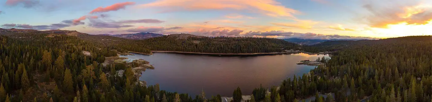 Campground (Paid Public)
(Lake Alpine) Silver Tip Campground
28.2 mi from Stanislaus National Forest center
-
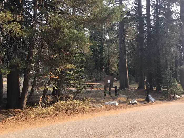 Campground (Paid Public)
(Lake Alpine) Backpackers
28.1 mi from Stanislaus National Forest center
-
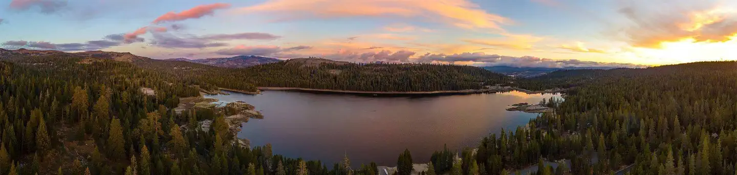 Campground (Paid Public)
(Lake Alpine) Lodgepole Campground
27.9 mi from Stanislaus National Forest center
-
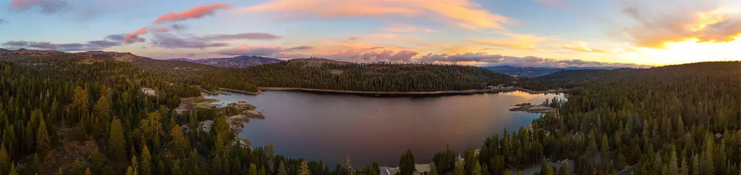 Campground (Paid Public)
(Lake Alpine) Pine Marten
28.3 mi from Stanislaus National Forest center
-
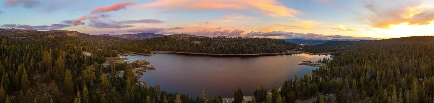 Campground (Paid Public)
(Lake Alpine) Silver Valley Campground
28.3 mi from Stanislaus National Forest center
-
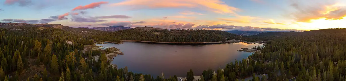 Campground (Paid Public)
(Lake Alpine) West Shore
28.0 mi from Stanislaus National Forest center
-
Campground (Paid Public) Backpacker's Walk-in Campground 28.5 mi from Stanislaus National Forest center
-
Campground (Paid Public) Baker Campground 24.6 mi from Stanislaus National Forest center
-
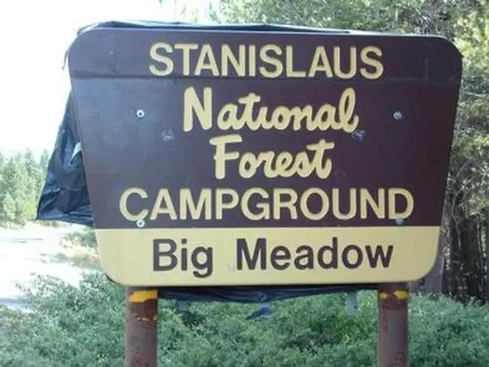 Campground (Paid Public)
Big Meadow (Stanislaus National Forest)
23.5 mi from Stanislaus National Forest center
-
Campground (Paid Public) Bloomfield Campground 34.7 mi from Stanislaus National Forest center
-
Campground (Paid Public) Boulder Flat Campground 22.5 mi from Stanislaus National Forest center
-
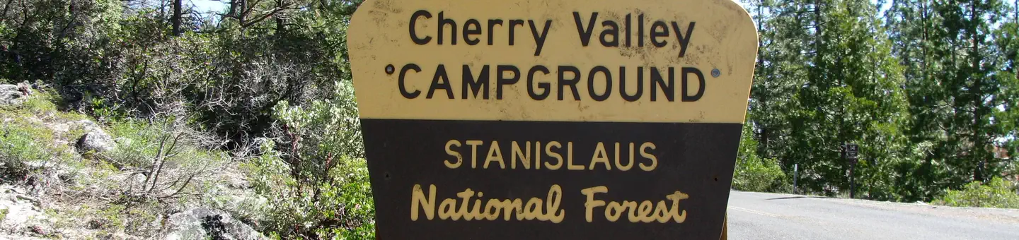 Campground (Paid Public)
Cherry Valley
10.7 mi from Stanislaus National Forest center
Hiking Trails
See all 22-
Hiking Trail Arnold Rim Trail - Valley View Drive Trailhead 19.2 mi from Stanislaus National Forest center
-
Hiking Trail Arnot Creek TH 26.8 mi from Stanislaus National Forest center
-
Hiking Trail Carlon Day Use Area 21.6 mi from Stanislaus National Forest center
-
Hiking Trail Clark Fork TH 29.5 mi from Stanislaus National Forest center
-
Hiking Trail Columns of the Giants 23.4 mi from Stanislaus National Forest center
-
Hiking Trail County Line TH 22.4 mi from Stanislaus National Forest center
-
Hiking Trail Coyote Meadows TH 15.6 mi from Stanislaus National Forest center
-
Hiking Trail Disaster Creek TH 29.5 mi from Stanislaus National Forest center
-
Hiking Trail Donnell Vista 20.1 mi from Stanislaus National Forest center
-
Hiking Trail Gianelli TH 13.4 mi from Stanislaus National Forest center
-
Hiking Trail Lake Valley Trailhead 30.0 mi from Stanislaus National Forest center
-
Hiking Trail Mosquito Lakes Trailhead 31.6 mi from Stanislaus National Forest center
Tourist Attractions
See all 17-
Tourist Attraction Alpine Ranger Station 27.6 mi from Stanislaus National Forest center
-
Tourist Attraction Beardsley Day Use 9.3 mi from Stanislaus National Forest center
-
Tourist Attraction Black Springs OHV Area 22.0 mi from Stanislaus National Forest center
-
Tourist Attraction Calaveras Ranger Station 17.6 mi from Stanislaus National Forest center
-
Tourist Attraction China Flat Day Use 1.8 mi from Stanislaus National Forest center
-
Tourist Attraction Cottonwood Day Use 25.2 mi from Stanislaus National Forest center
-
Tourist Attraction Groveland Ranger Station 17.6 mi from Stanislaus National Forest center
-
Tourist Attraction Hull Creek / Trout Creek 2.9 mi from Stanislaus National Forest center
-
Tourist Attraction Hunter Creek 10.4 mi from Stanislaus National Forest center
-
Tourist Attraction Interface OHV Area 19.6 mi from Stanislaus National Forest center
-
Tourist Attraction Mi Wok Ranger Station 5.9 mi from Stanislaus National Forest center
-
Tourist Attraction Middle Fork Day Use Area 19.0 mi from Stanislaus National Forest center
Dispersed Campings
See all 7-
Dispersed Camping Anderson Valley 25.0 mi from Stanislaus National Forest center
-
Dispersed Camping Bloomfield Ii 34.2 mi from Stanislaus National Forest center
-
Dispersed Camping Grouse Flat 34.0 mi from Stanislaus National Forest center
-
Dispersed Camping Highway 4 Ohv-Hermit Valley 33.3 mi from Stanislaus National Forest center
-
Dispersed Camping Joe Walt Run 11.1 mi from Stanislaus National Forest center
-
Dispersed Camping Kennedy Flat 33.9 mi from Stanislaus National Forest center
-
Dispersed Camping Montgomery Gulch 26.4 mi from Stanislaus National Forest center
Points of interest
4-
Point of interest Cherry Borrow Site 11.5 mi from Stanislaus National Forest center
-
Point of interest Fraser Flat Fishing Pier Day Use 6.5 mi from Stanislaus National Forest center
-
Point of interest Lyons Reservoir (PG&E) Day Use 4.9 mi from Stanislaus National Forest center
-
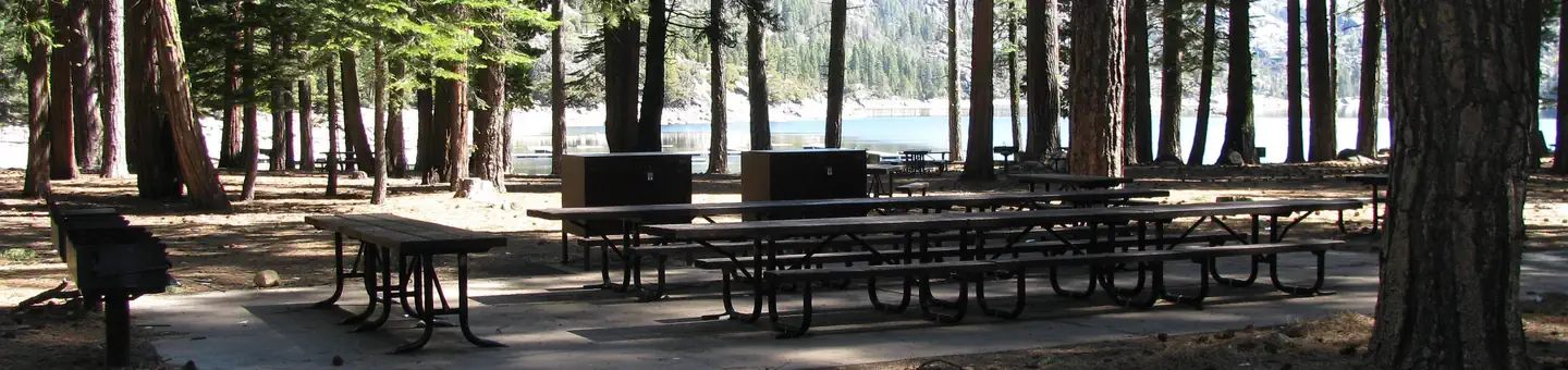 Point of interest
Pinecrest Day Use Area
9.2 mi from Stanislaus National Forest center
Fishing Accesses
See all 3Other public lands
Nearest towns
Sources
Place records include Recreation.gov data.