Public land
Eldorado National Forest
Eldorado National Forest is a national forest in California. It covers 614,604 acres. USFS manages it. Landgogh lists 112 places here: 33 campgrounds (paid public), 32 campgrounds (free public), 25 trailheads, and 22 other places. Nearest towns: South Lake Tahoe, Placerville, and Truckee.
112 places
Campgrounds (Paid Public)
See all 33-
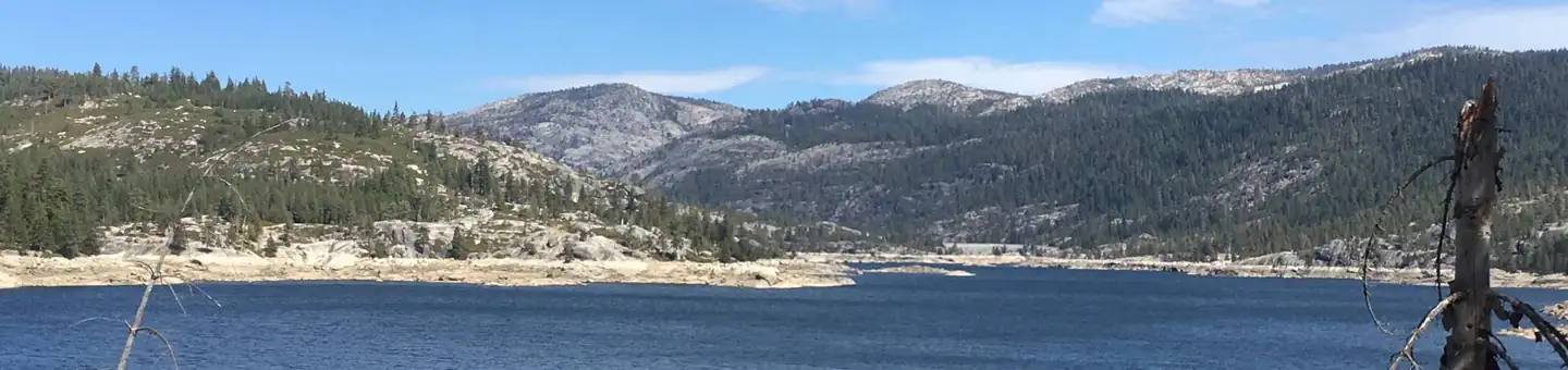 Campground (Paid Public)
Bear River Group Campground (Eldorado National Forest, CA)
23.1 mi from Eldorado National Forest center
-
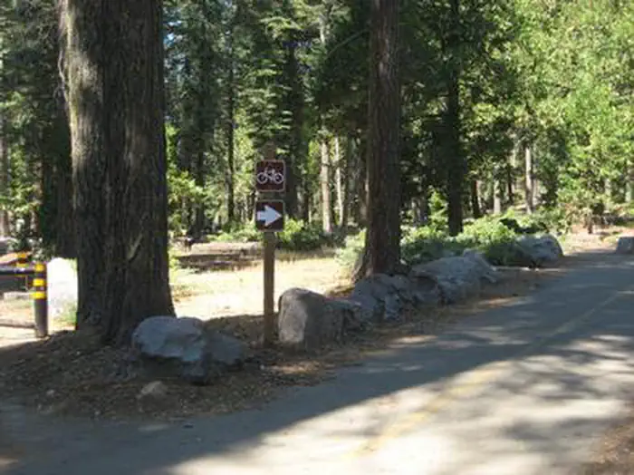 Campground (Paid Public)
Big Silver Group
7.7 mi from Eldorado National Forest center
-
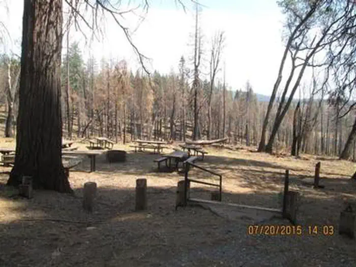 Campground (Paid Public)
Black Oak
9.3 mi from Eldorado National Forest center
-
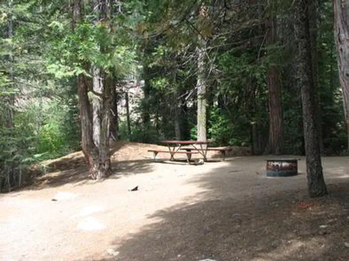 Campground (Paid Public)
Capps Crossing
11.2 mi from Eldorado National Forest center
-
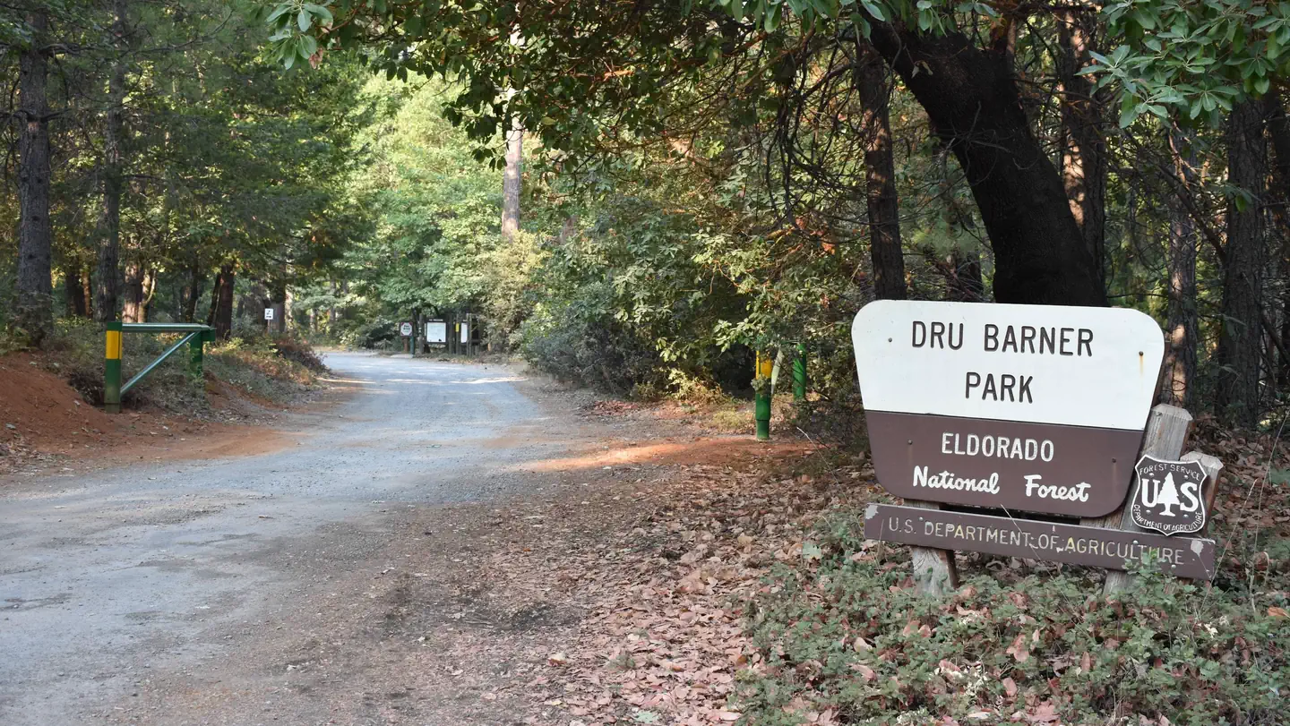 Campground (Paid Public)
Dru Barner Campground
18.5 mi from Eldorado National Forest center
-
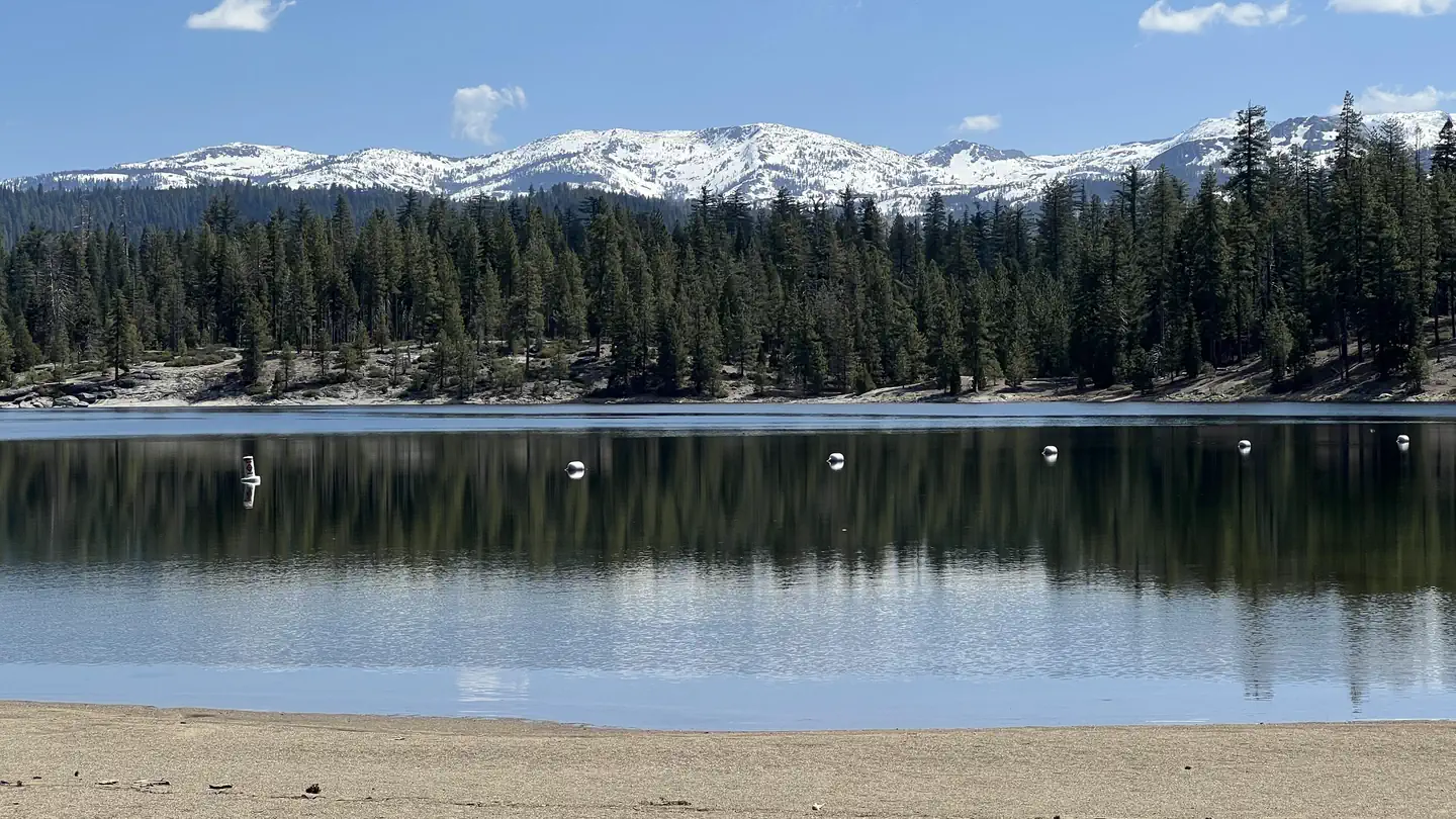 Campground (Paid Public)
Fashoda
5.8 mi from Eldorado National Forest center
-
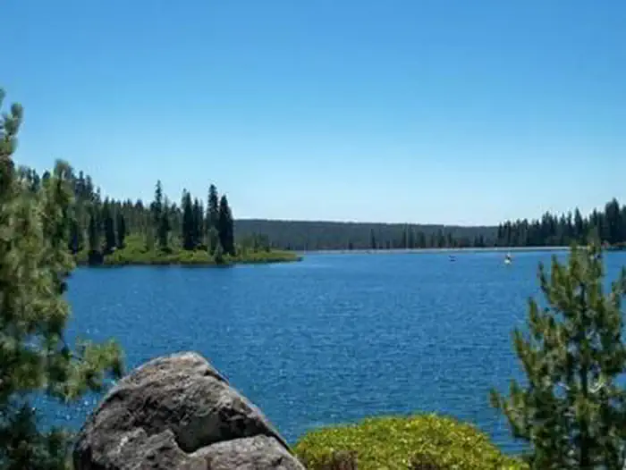 Campground (Paid Public)
Gerle Creek
12.5 mi from Eldorado National Forest center
-
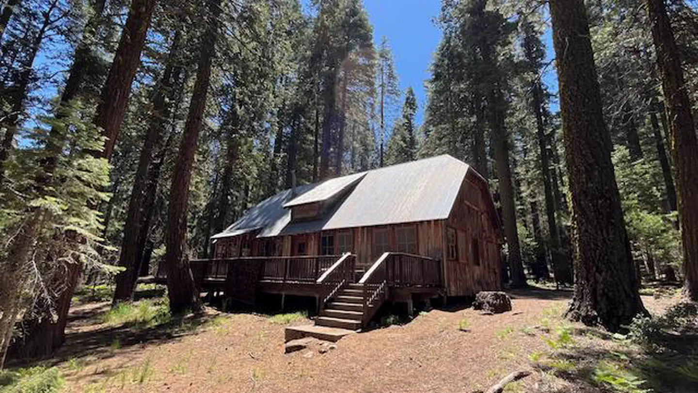 Campground (Paid Public)
Harvey West Cabin
11.0 mi from Eldorado National Forest center
-
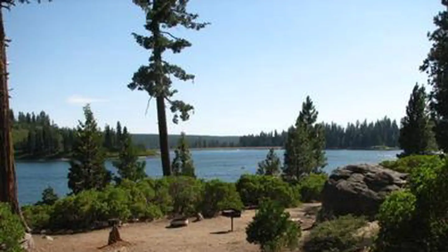 Campground (Paid Public)
Ice House
6.1 mi from Eldorado National Forest center
-
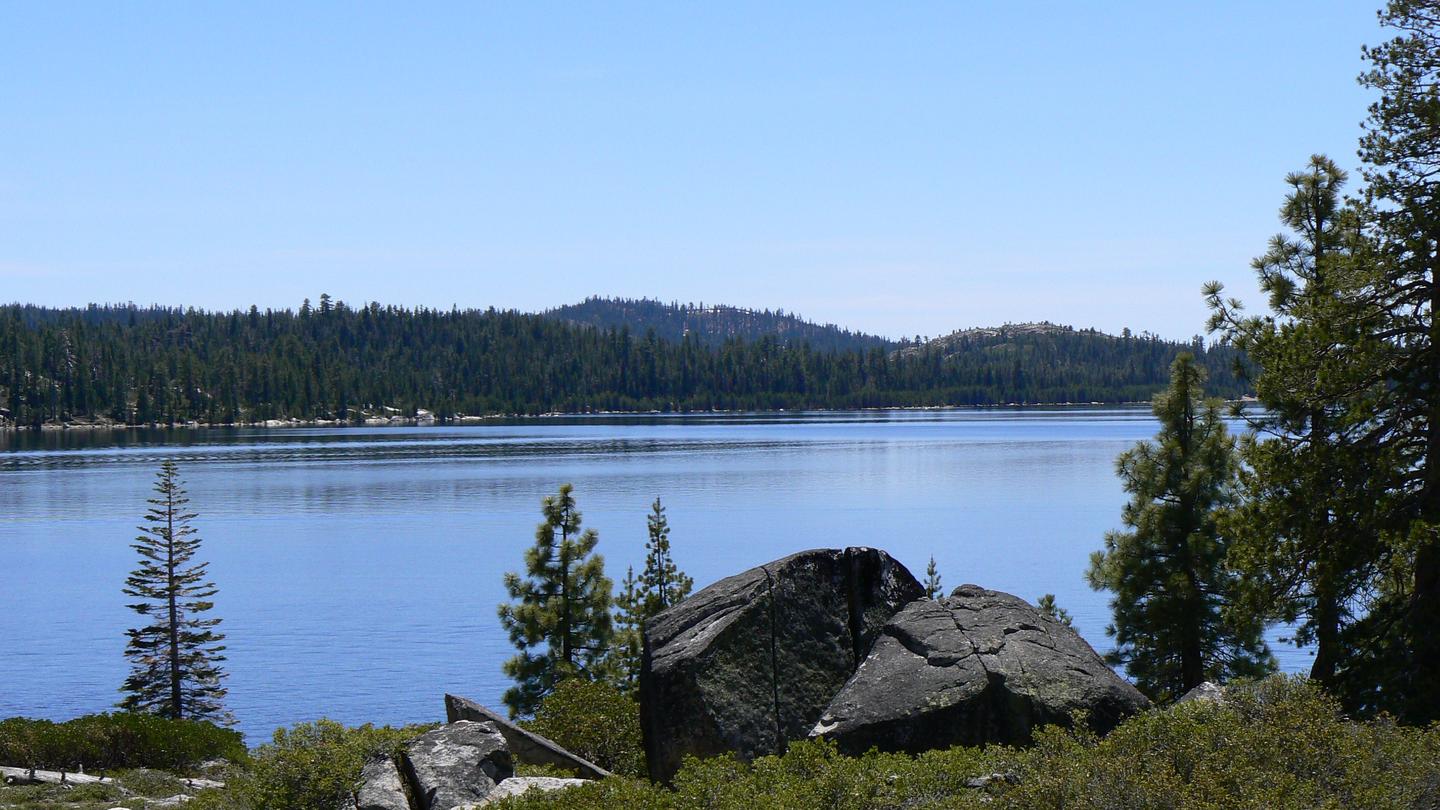 Campground (Paid Public)
Loon Lake
14.4 mi from Eldorado National Forest center
-
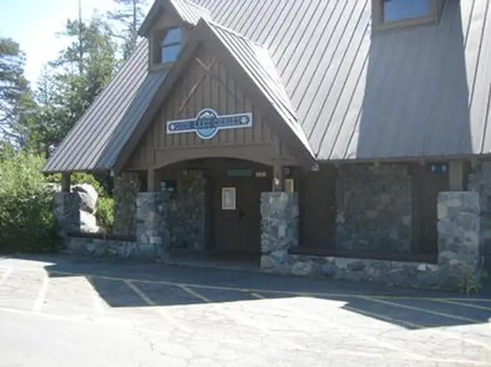 Campground (Paid Public)
Loon Lake Chalet
14.5 mi from Eldorado National Forest center
-
Campground (Paid Public) Meeks Bay Campground 24.5 mi from Eldorado National Forest center
Campgrounds (Free Public)
See all 32-
Campground (Free Public) Adventure Mountain Lake Tahoe 23.5 mi from Eldorado National Forest center
-
Campground (Free Public) Airport Flat Campground 13.3 mi from Eldorado National Forest center
-
Campground (Free Public) Azalea Cove Campground 7.5 mi from Eldorado National Forest center
-
Campground (Free Public) Big Meadows Campground 18.8 mi from Eldorado National Forest center
-
Campground (Free Public) Camino Cove Campground 5.5 mi from Eldorado National Forest center
-
Campground (Free Public) Caples Lake Campground 23.5 mi from Eldorado National Forest center
-
Campground (Free Public) China Flat Campground 11.4 mi from Eldorado National Forest center
-
Campground (Free Public) Hell Hole Campground 18.6 mi from Eldorado National Forest center
-
Campground (Free Public) Hell Hole Upper Country 18.8 mi from Eldorado National Forest center
-
Campground (Free Public) Jones Fork Campground 5.9 mi from Eldorado National Forest center
-
Campground (Free Public) Kirkwood Campground 21.7 mi from Eldorado National Forest center
-
Campground (Free Public) Lone Rock Campground 6.0 mi from Eldorado National Forest center
Trailheads
See all 25-
Trailhead Allens Camp Trailhead 21.9 mi from Eldorado National Forest center
-
Trailhead Balderson Trailhead Staging Area 17.8 mi from Eldorado National Forest center
-
Trailhead Bayview Trailhead 22.1 mi from Eldorado National Forest center
-
Trailhead Big Meadow Trailhead 25.3 mi from Eldorado National Forest center
-
Trailhead Caples Creek Trailhead 16.4 mi from Eldorado National Forest center
-
Trailhead Caples Dam Trailhead 22.9 mi from Eldorado National Forest center
-
Trailhead Caples Equestrian Trailhead 16.2 mi from Eldorado National Forest center
-
Trailhead Cedar Park Trailhead 9.4 mi from Eldorado National Forest center
-
Trailhead Donaldson Trailhead 18.2 mi from Eldorado National Forest center
-
Trailhead Horse Canyon Trailhead 21.0 mi from Eldorado National Forest center
-
Trailhead Lake Margaret Trailhead 22.6 mi from Eldorado National Forest center
-
Trailhead Loon Lake Trailhead 14.8 mi from Eldorado National Forest center
Points of interest
14-
Point of interest Angel Creek Day Use 12.5 mi from Eldorado National Forest center
-
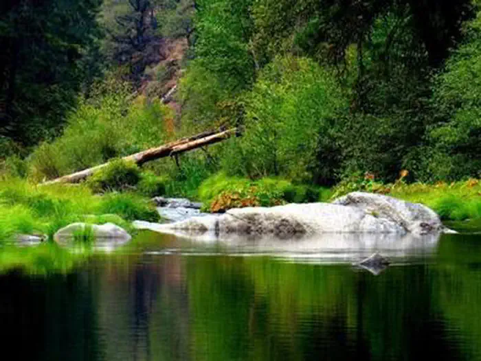 Point of interest
Bridal Veil Group Area and Picnic Ground
2.8 mi from Eldorado National Forest center
-
Point of interest Bridalveil Recreation Area Day Use 2.8 mi from Eldorado National Forest center
-
Point of interest China Flat Recreation Area Day Use 17.7 mi from Eldorado National Forest center
-
Point of interest Fashoda Picnic Area and Day Use 5.8 mi from Eldorado National Forest center
-
Point of interest Gerle Creek Picnic Area 12.5 mi from Eldorado National Forest center
-
Point of interest Ice House Day Use & Boat Launch 6.1 mi from Eldorado National Forest center
-
Point of interest Loon Lake Day Use and Boat Launch 14.4 mi from Eldorado National Forest center
-
Point of interest Lovers Leap Recreation Area Day Use 17.7 mi from Eldorado National Forest center
-
Point of interest Pardoes Point Recreation Area Day Use 22.4 mi from Eldorado National Forest center
-
Point of interest Stumpy Meadows Day Use and Boat Launch 9.5 mi from Eldorado National Forest center
-
Point of interest Sunset Union-Valley Recreation Area Day Use 5.4 mi from Eldorado National Forest center
Dispersed Campings
See all 4-
Dispersed Camping Cole Creek Campground 23.9 mi from Eldorado National Forest center
-
Dispersed Camping Gray Rock 13.1 mi from Eldorado National Forest center
-
Dispersed Camping Inter Bay 16.9 mi from Eldorado National Forest center
-
Dispersed Camping Long Canyon Camping Area 15.1 mi from Eldorado National Forest center
Hiking Trails
See all 3Fishing Accesses
See all 1Other public lands
Nearest towns
Sources
Place records include Recreation.gov data.