Public land
Yosemite National Park
Yosemite National Park is a national park in California. It covers 742,953 acres. NPS manages it. Landgogh lists 20 places here: 15 campgrounds (paid public), 3 tourist attractions, 1 point of interest, and 1 other place. Nearest towns: Mammoth Lakes and Sonora.
20 places
Campgrounds (Paid Public)
See all 15-
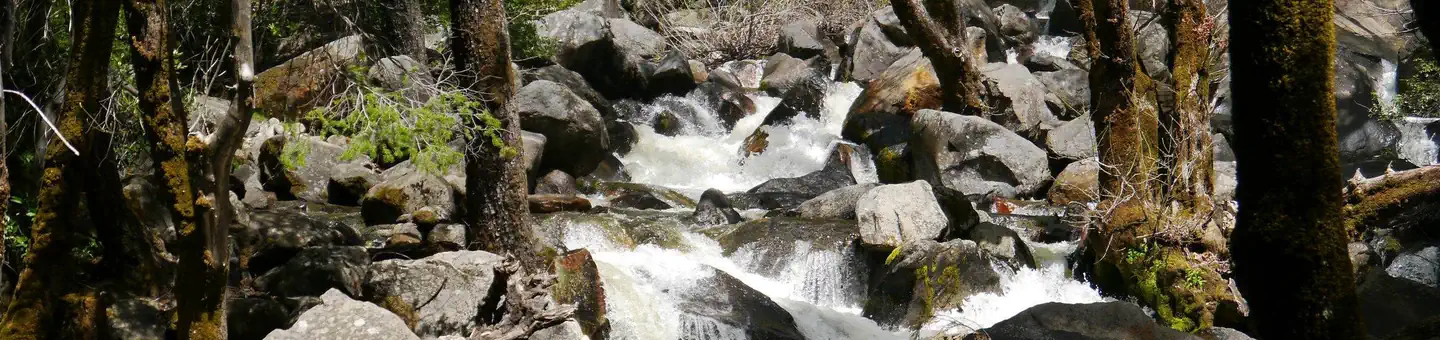 Campground (Paid Public)
Bridalveil Creek Campground
8.5 mi from Yosemite National Park center
-
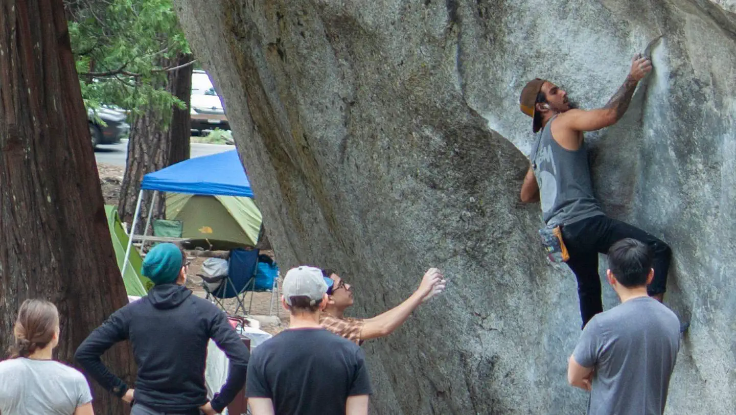 Campground (Paid Public)
Camp 4
14.0 mi from Yosemite National Park center
-
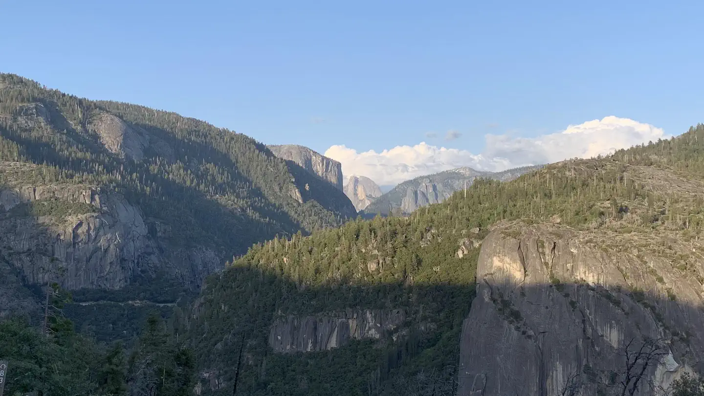 Campground (Paid Public)
Crane Flat Campground
19.0 mi from Yosemite National Park center
-
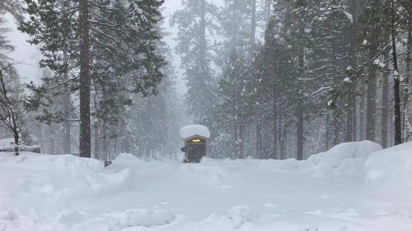 Campground (Paid Public)
Hodgdon Meadow Campground
21.6 mi from Yosemite National Park center
-
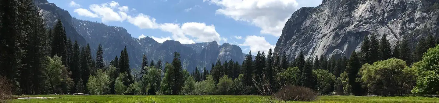 Campground (Paid Public)
Lower Pines Campground
14.4 mi from Yosemite National Park center
-
Campground (Paid Public) Mariposa Grove Commercial Bus Parking 3.0 mi from Yosemite National Park center
-
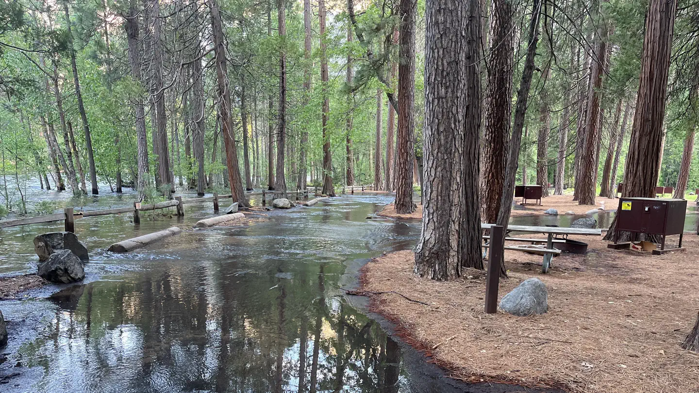 Campground (Paid Public)
North Pines Campground
14.5 mi from Yosemite National Park center
-
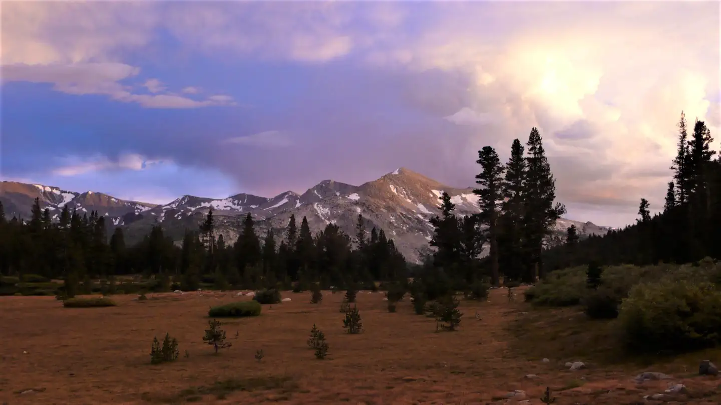 Campground (Paid Public)
Porcupine Flat Campground
19.0 mi from Yosemite National Park center
-
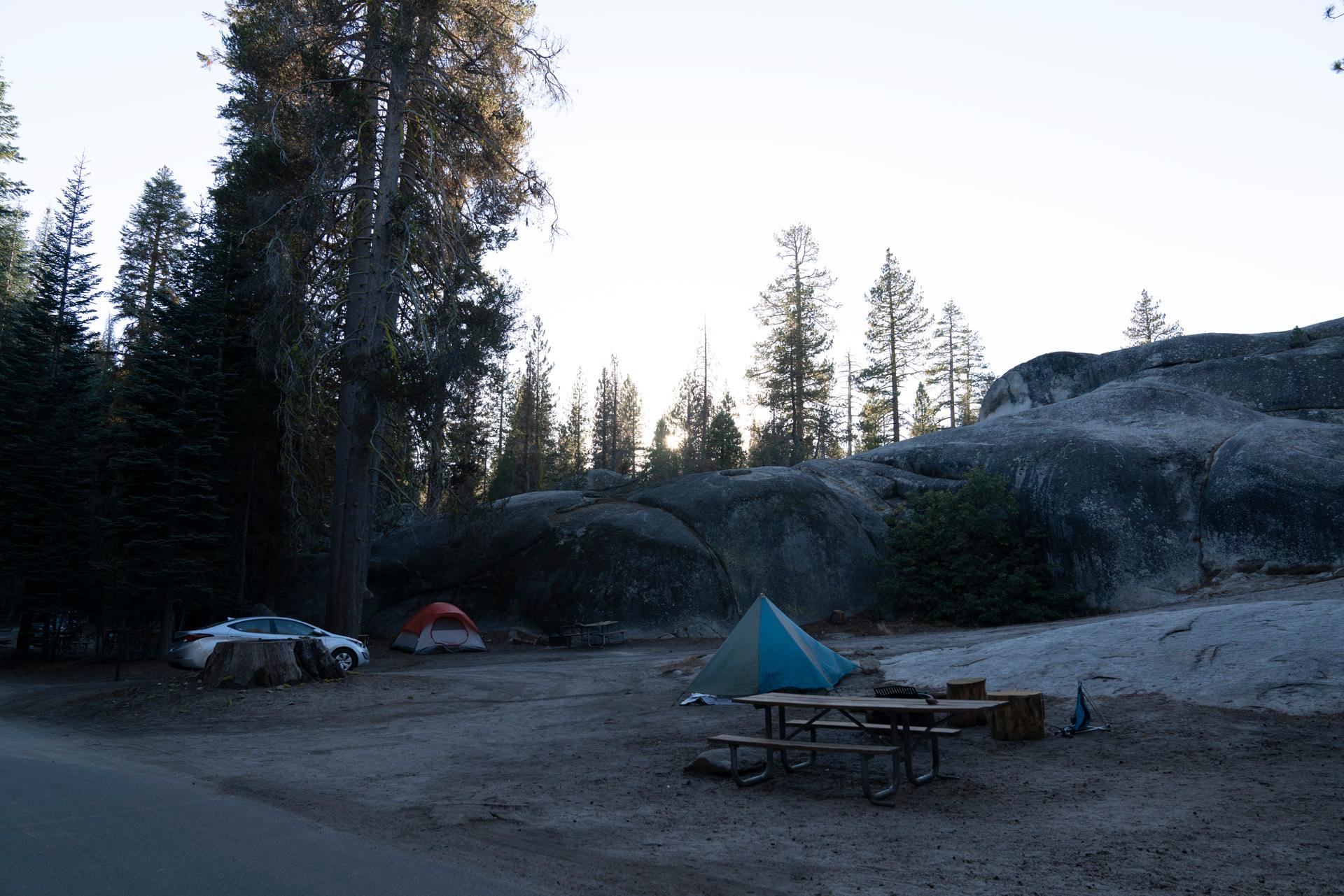 Campground (Paid Public)
Tamarack Flat Campground
15.5 mi from Yosemite National Park center
-
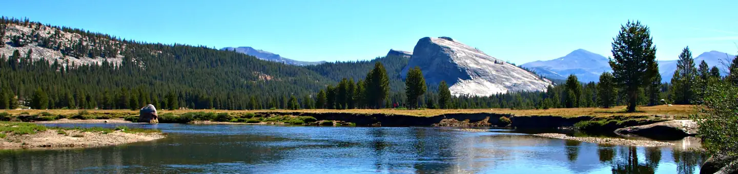 Campground (Paid Public)
Tuolumne Meadows Campground
27.6 mi from Yosemite National Park center
-
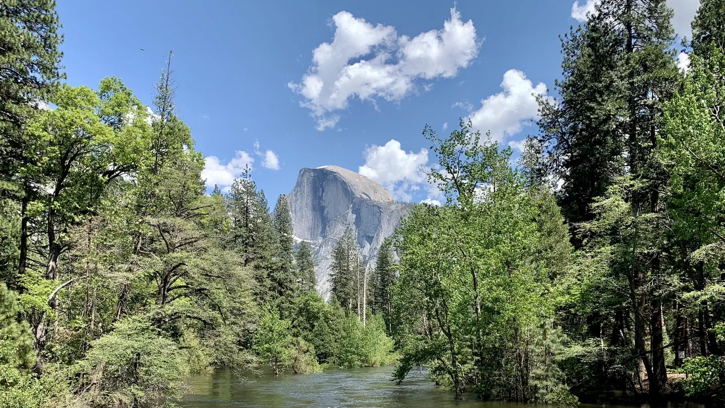 Campground (Paid Public)
Upper Pines Campground
14.2 mi from Yosemite National Park center
-
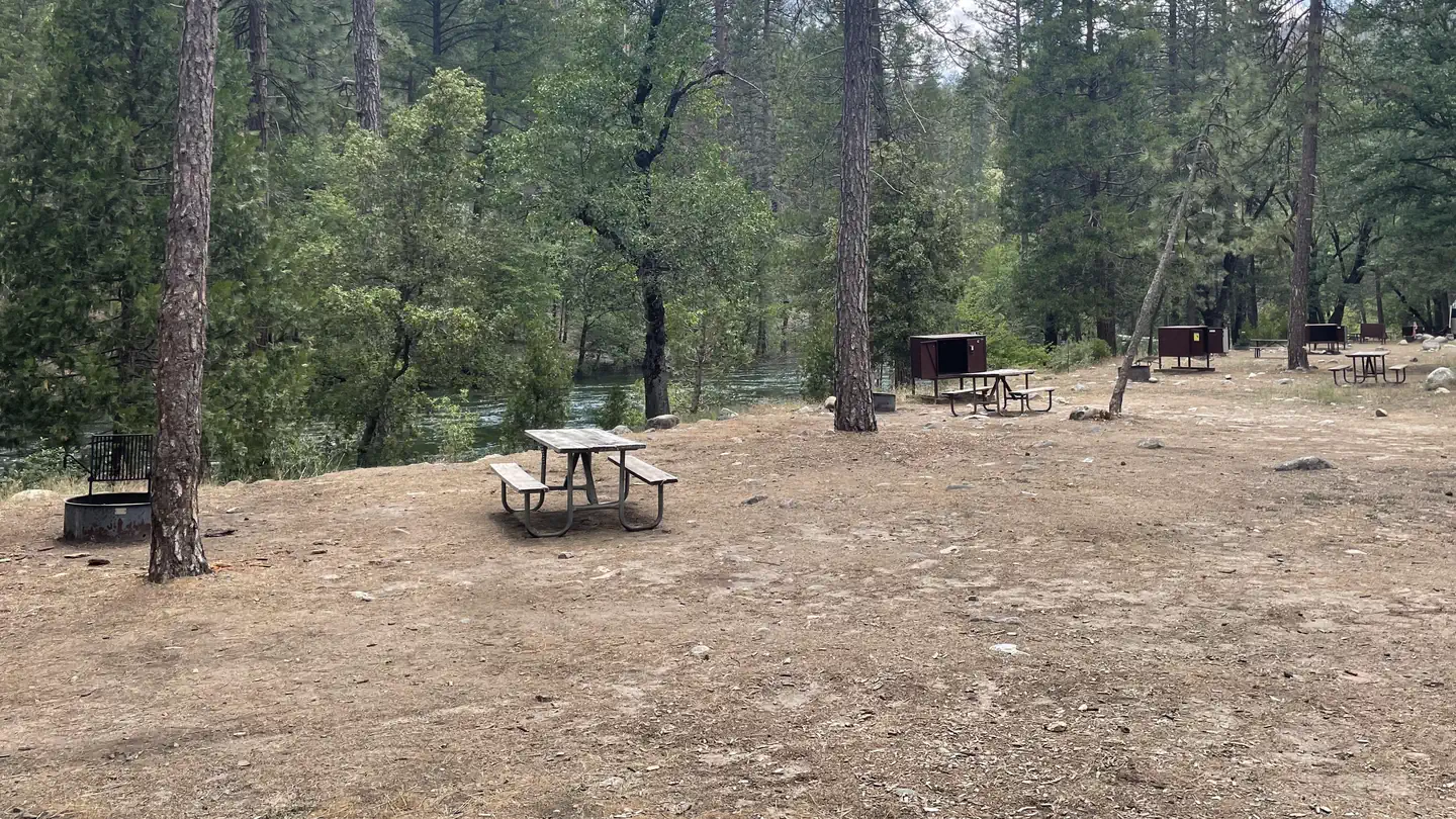 Campground (Paid Public)
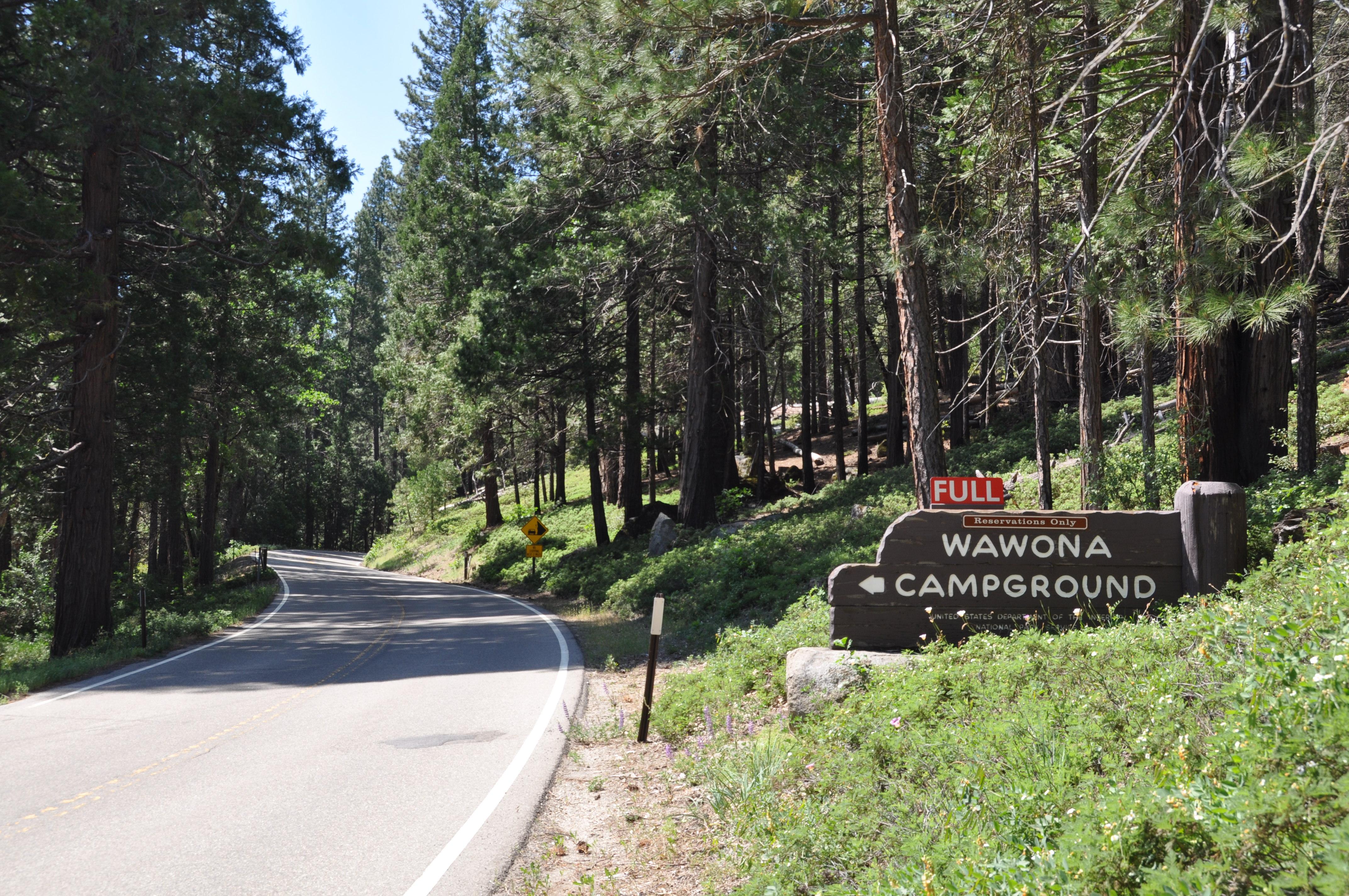
Wawona Campground
2.6 mi from Yosemite National Park center
Tourist Attractions
See all 3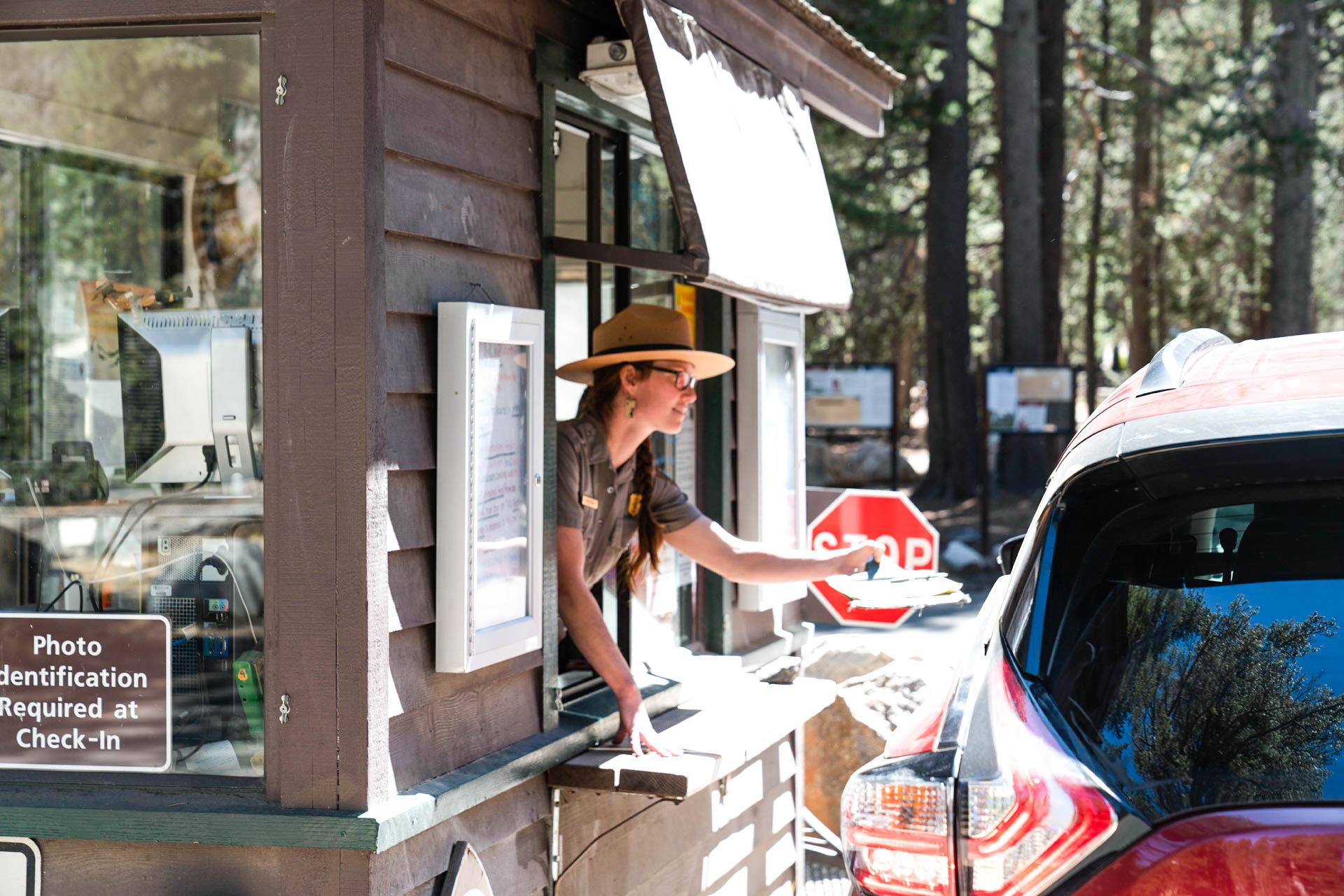
Points of interest
1Trailheads
See all 1Other public lands
Nearest towns
Sources
Place records include Recreation.gov data.