Public land
Coronado National Forest
Coronado National Forest is a national forest in Arizona and New Mexico. It covers 1,652,117 acres. USFS manages it. Landgogh lists 130 places here: 73 trailheads, 37 campgrounds (paid public), 7 points of interest, and 13 other places. Nearest towns: Oro Valley, Thatcher, and Sahuarita.
130 places
Trailheads
See all 73-
Trailhead Agua Caliente Trailhead 36.4 mi from Coronado National Forest center
-
Trailhead Alambre OHV Staging Area 66.8 mi from Coronado National Forest center
-
Trailhead Apache Spring Trailhead 31.2 mi from Coronado National Forest center
-
Trailhead Atascosa 41.2 mi from Coronado National Forest center
-
Trailhead AZ Trail @ Parker Lake Trailhead 4.9 mi from Coronado National Forest center
-
Trailhead Bear Canyon Trailhead 69.8 mi from Coronado National Forest center
-
Trailhead Bigelow (butterfly) Trailhead 75.3 mi from Coronado National Forest center
-
Trailhead Bigelow Trailhead 74.9 mi from Coronado National Forest center
-
Trailhead Bog Springs Th 36.3 mi from Coronado National Forest center
-
Trailhead Box Camp Trailhead 75.9 mi from Coronado National Forest center
-
Trailhead Box Canyon Ohv 36.0 mi from Coronado National Forest center
-
Trailhead Brown Th 12.3 mi from Coronado National Forest center
Campgrounds (Paid Public)
See all 37-
Campground (Paid Public) Bog Springs Campground 36.1 mi from Coronado National Forest center
-
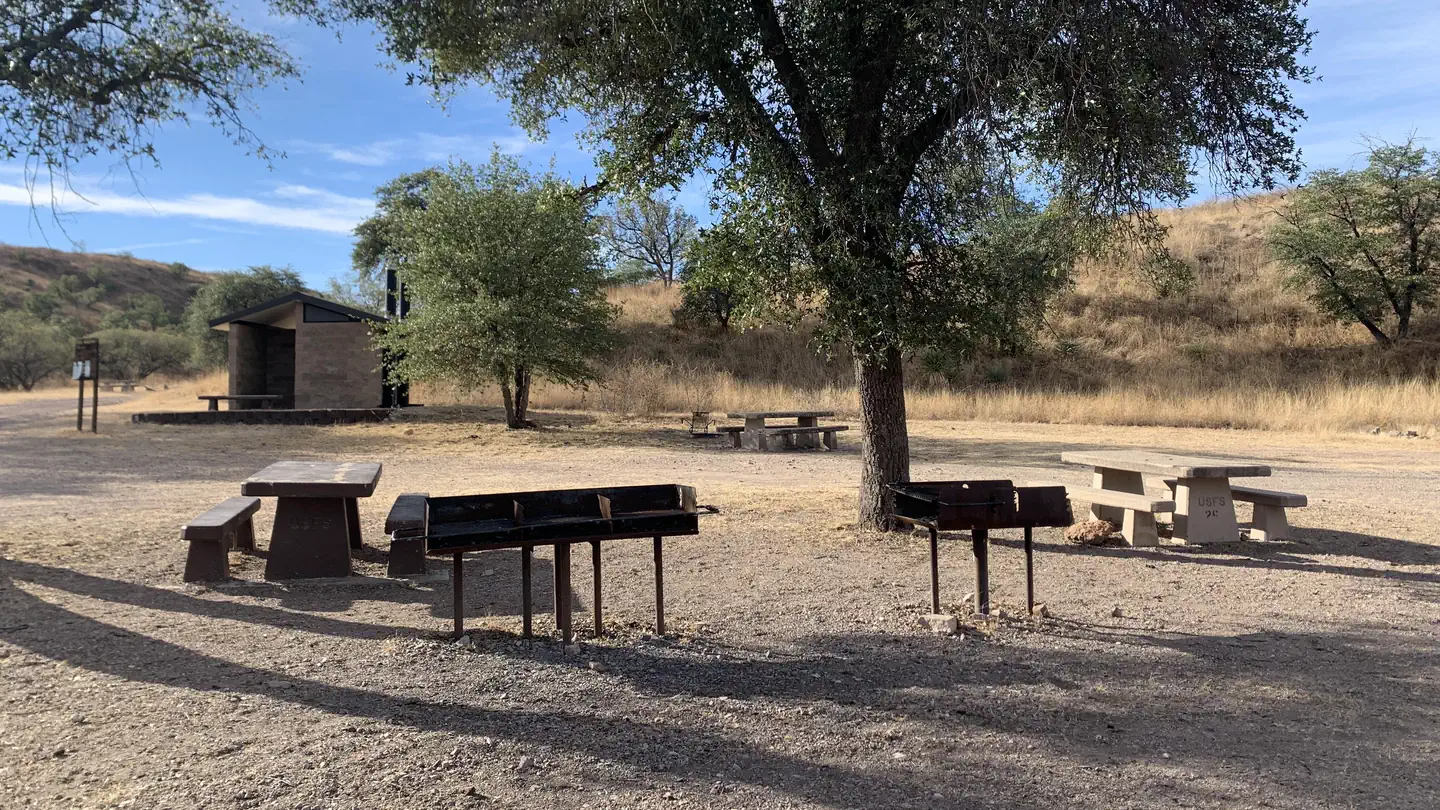 Campground (Paid Public)
Calabasas
35.5 mi from Coronado National Forest center
-
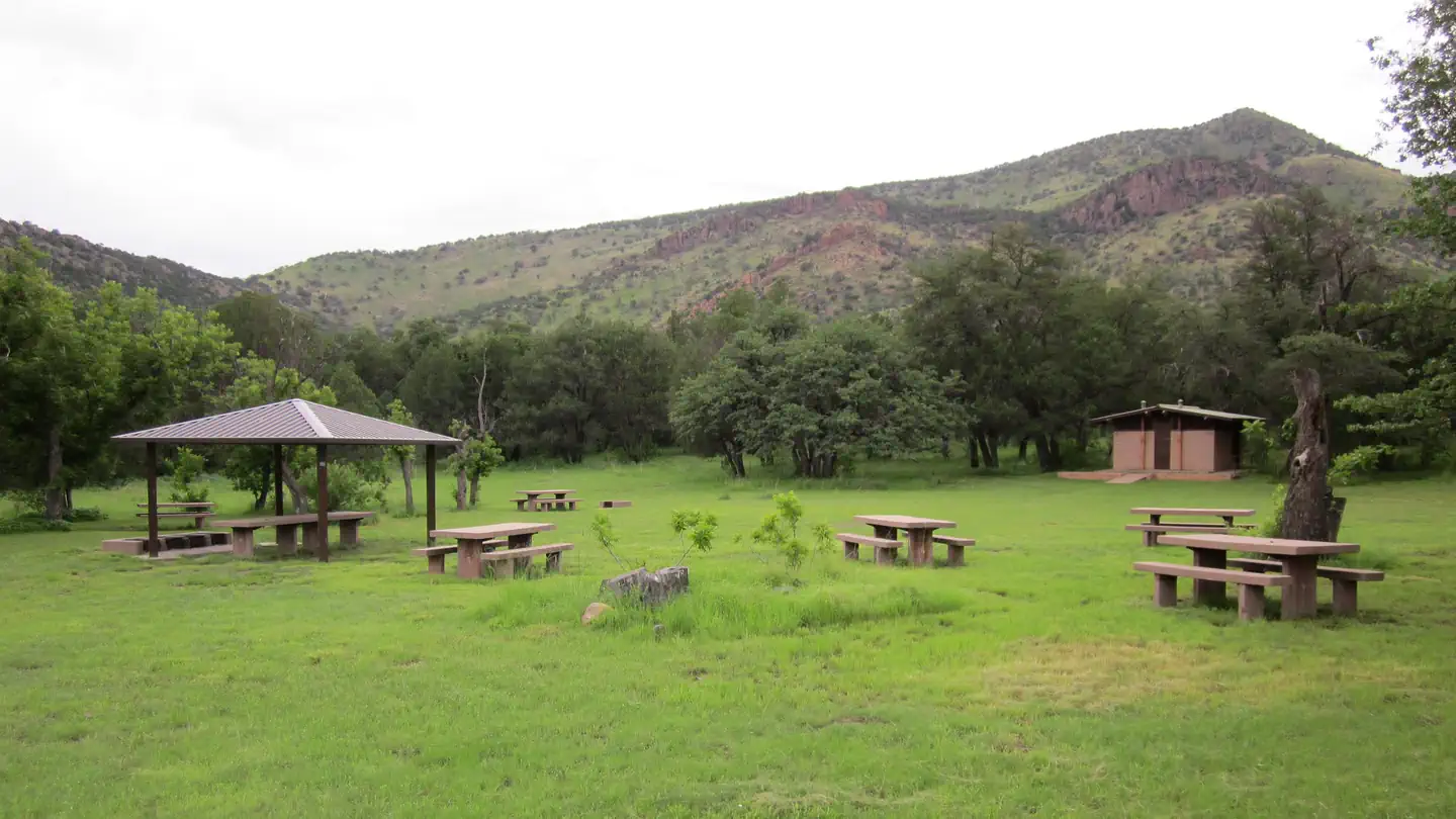 Campground (Paid Public)
Camp Rucker Group Site
70.2 mi from Coronado National Forest center
-
Campground (Paid Public) Cochise Stronghold Campground 48.8 mi from Coronado National Forest center
-
Campground (Paid Public) Columbine Corrals Campground 98.8 mi from Coronado National Forest center
-
Campground (Paid Public) Cunningham Campground 97.6 mi from Coronado National Forest center
-
Campground (Paid Public) Cypress Park Campground 73.2 mi from Coronado National Forest center
-
Campground (Paid Public) General Hitchcock Campground 72.4 mi from Coronado National Forest center
-
Campground (Paid Public) Gordon Hirabayashi Campground 70.1 mi from Coronado National Forest center
-
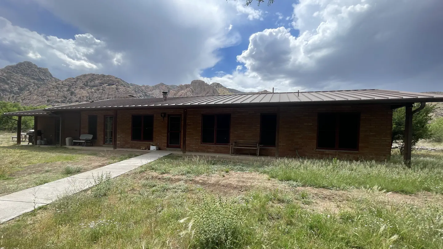 Campground (Paid Public)
Half Moon Ranch
50.5 mi from Coronado National Forest center
-
Campground (Paid Public) Herb Martyr Campground 80.2 mi from Coronado National Forest center
-
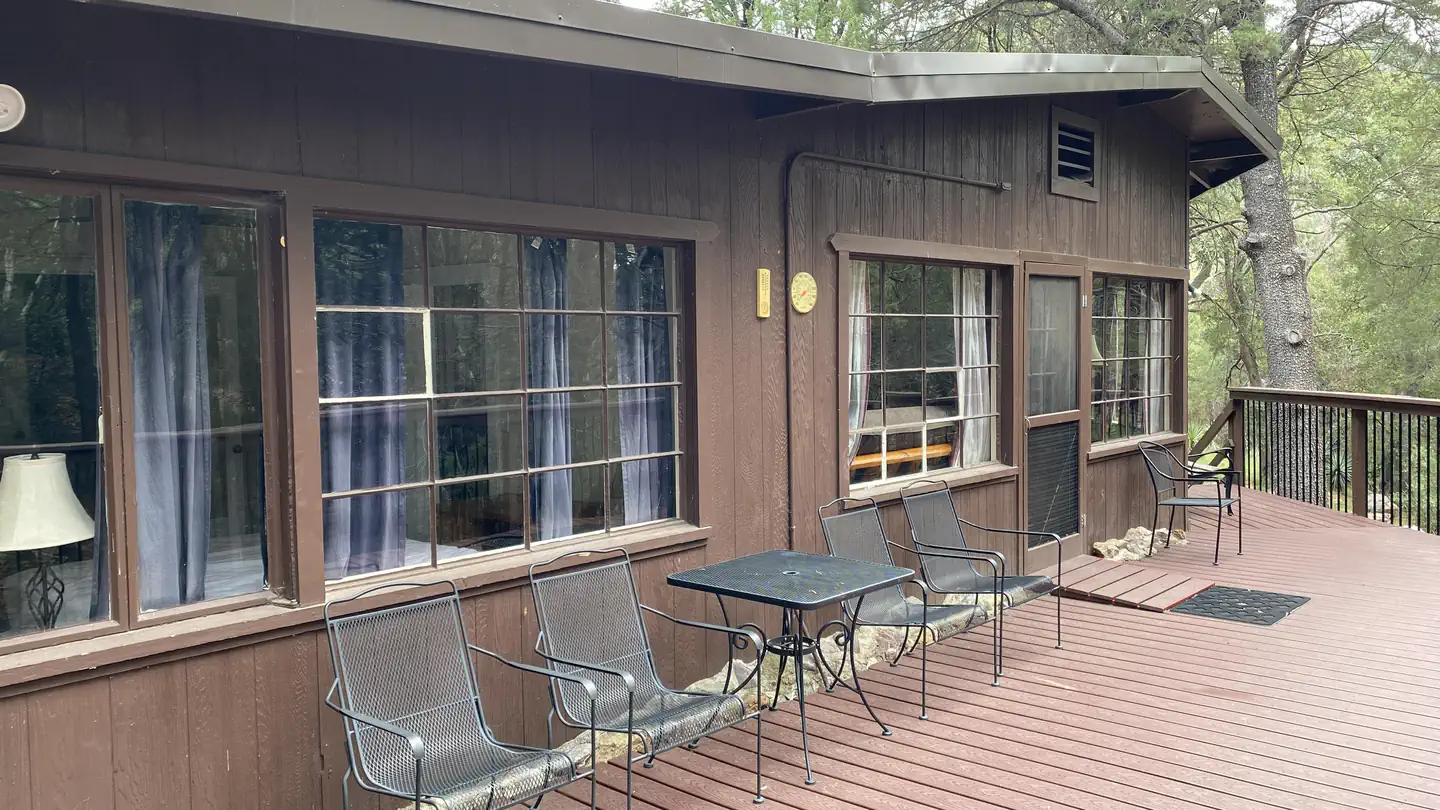 Campground (Paid Public)
Kent Springs Cabin
35.6 mi from Coronado National Forest center
Points of interest
7-
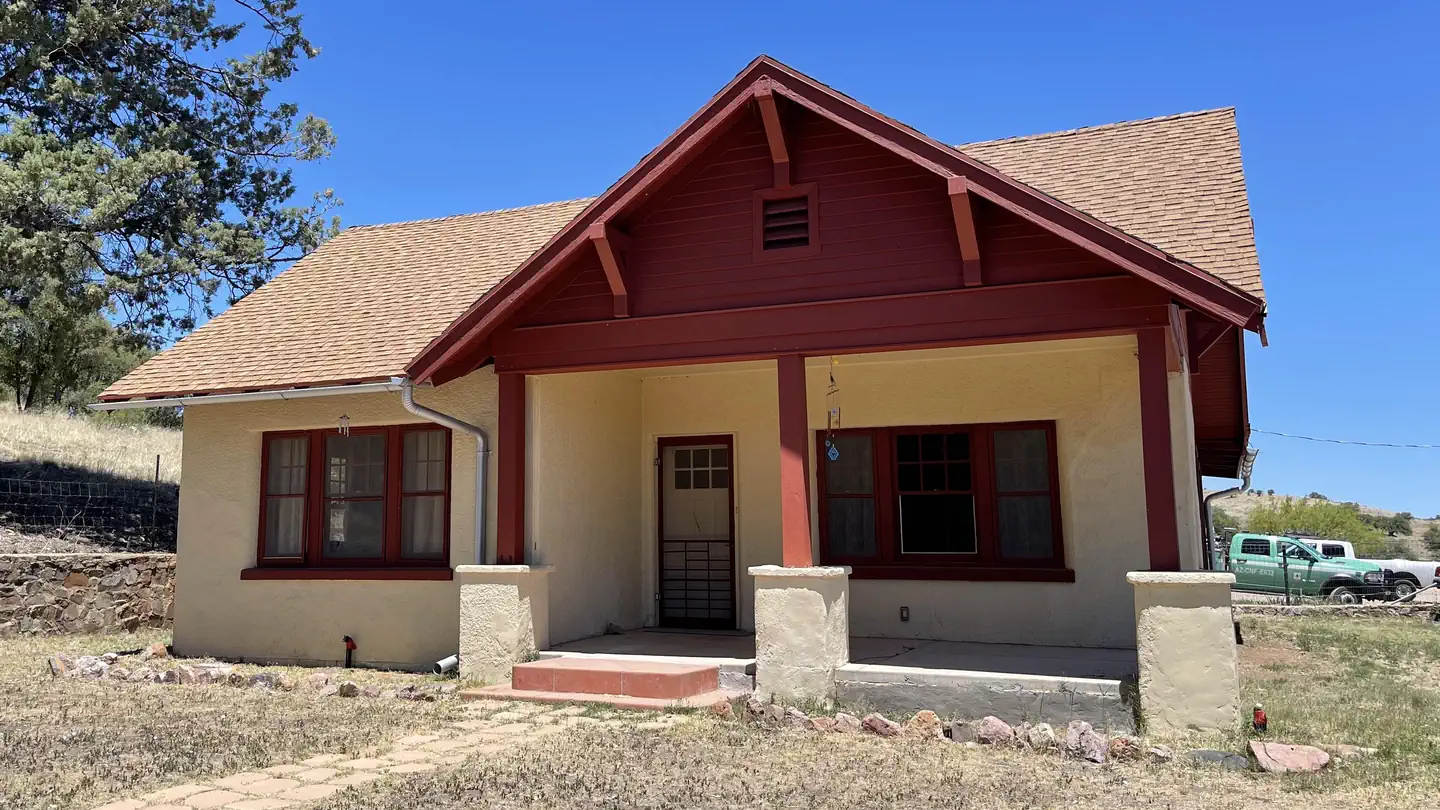 Point of interest
Canelo Ranger Residence
14.5 mi from Coronado National Forest center
-
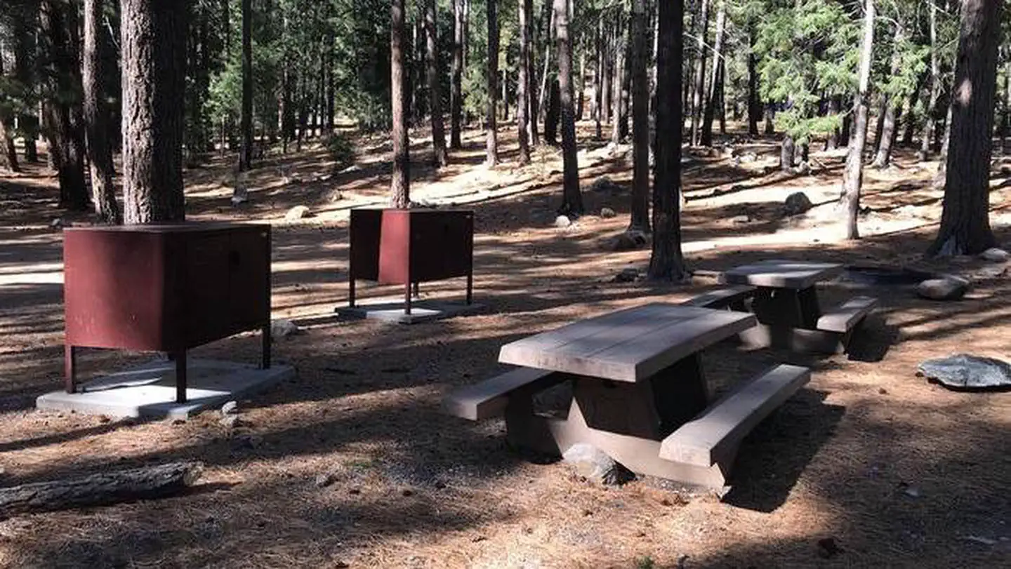 Point of interest
Lower Twilight Group Site
96.7 mi from Coronado National Forest center
-
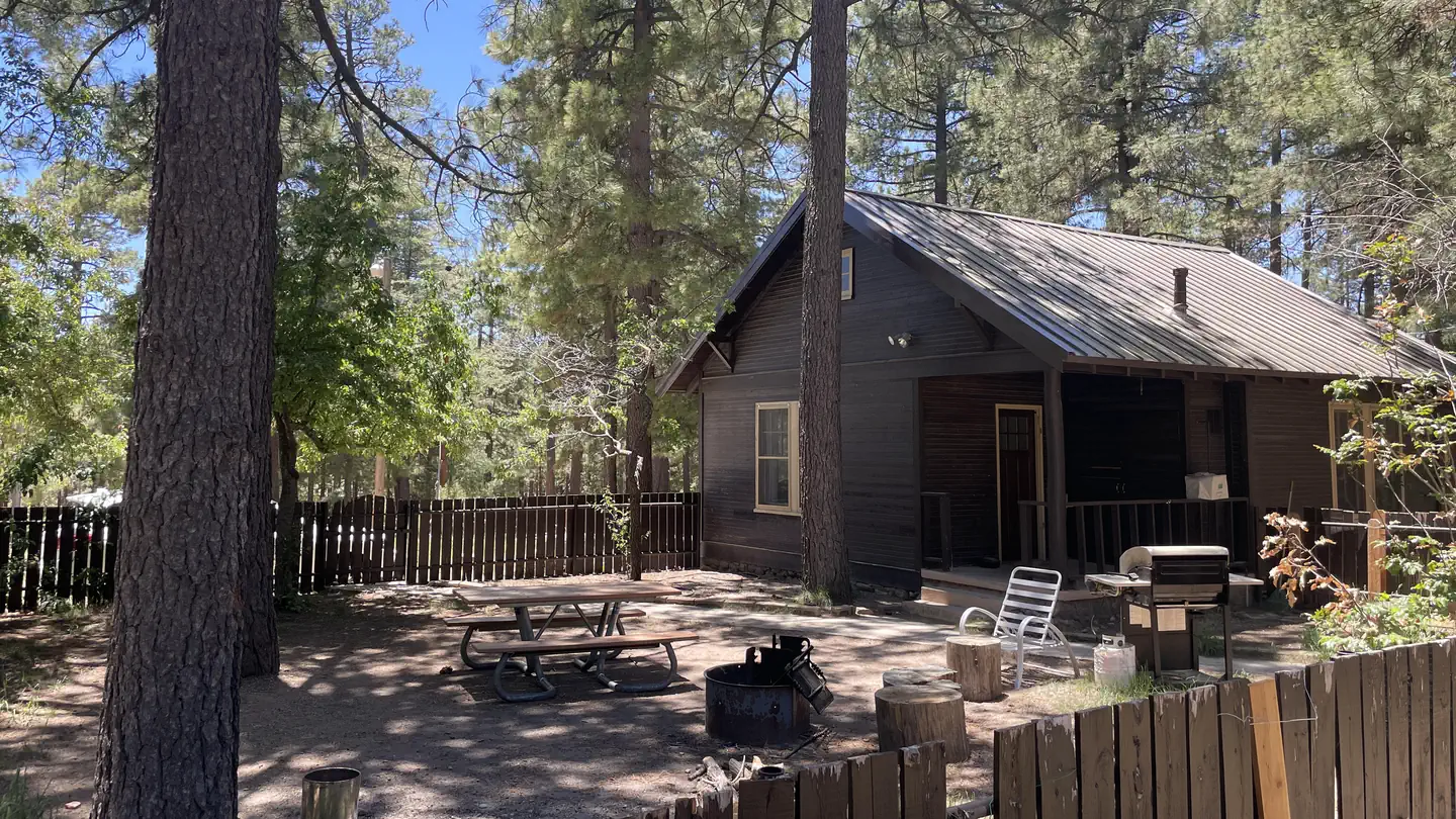 Point of interest
Palisades Ranger Residence Cabin
74.9 mi from Coronado National Forest center
-
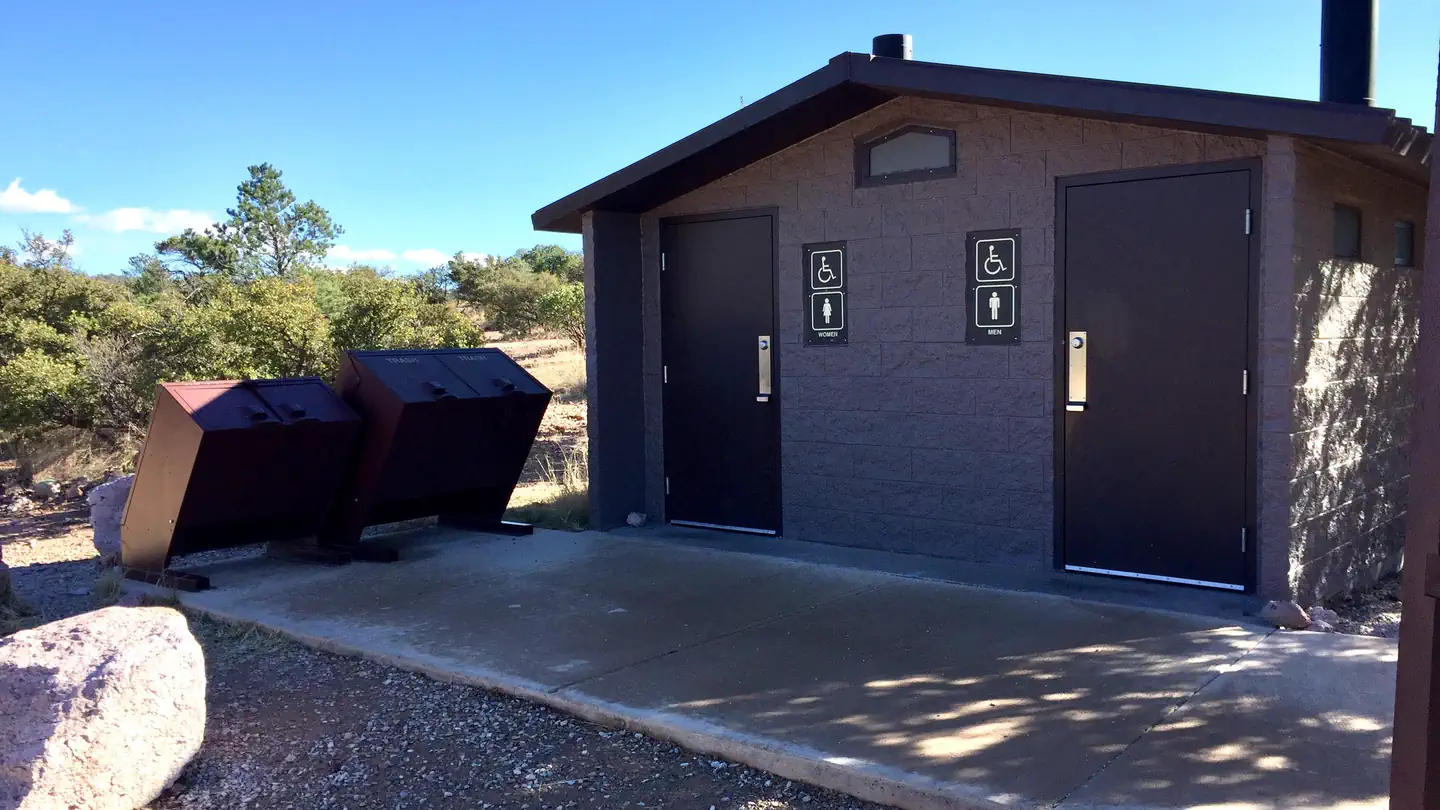 Point of interest
Rock Bluff Group Site
5.8 mi from Coronado National Forest center
-
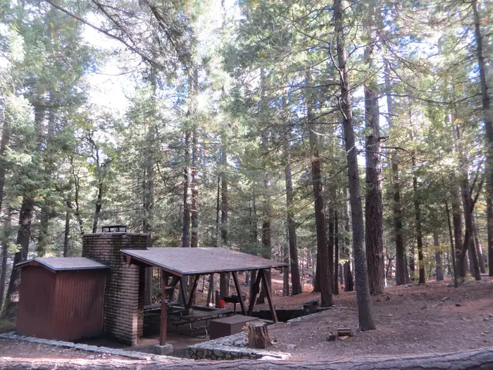 Point of interest
Showers Point Group Site
74.8 mi from Coronado National Forest center
-
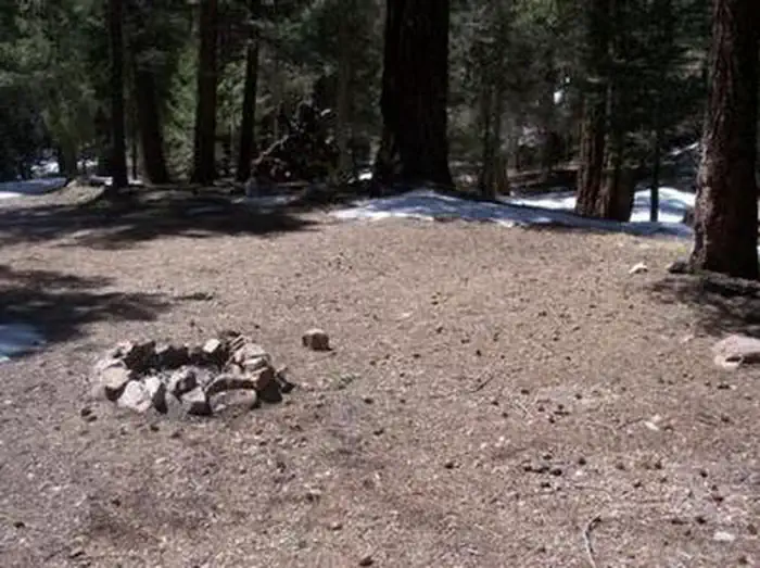 Point of interest
Upper Hospital Flat Group Site
97.1 mi from Coronado National Forest center
-
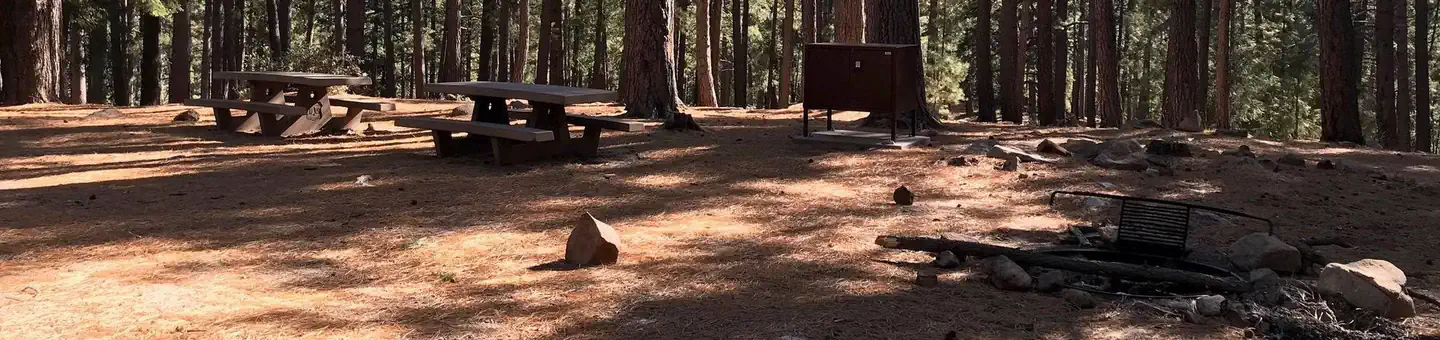 Point of interest
Upper Twilight Group Site
96.7 mi from Coronado National Forest center
Dispersed Campings
See all 4-
Dispersed Camping Bigelow/Bear Wallow 76.1 mi from Coronado National Forest center
-
Dispersed Camping Noon Creek Campground 98.8 mi from Coronado National Forest center
-
Dispersed Camping Snow Flat Campground 96.0 mi from Coronado National Forest center
-
Dispersed Camping Upper Hospital Flat Dispersed Camping Ar 97.1 mi from Coronado National Forest center
Fishing Accesses
See all 4-
Fishing Access Parker Canyon Lake Recreation Area 5.1 mi from Coronado National Forest center
-
Fishing Access Pena Blanca Lake Recreation Area 37.6 mi from Coronado National Forest center
-
Fishing Access Riggs Flat Recreation Area 98.1 mi from Coronado National Forest center
-
Fishing Access Rose Canyon Lake Fishing Site 73.4 mi from Coronado National Forest center
Tourist Attractions
See all 3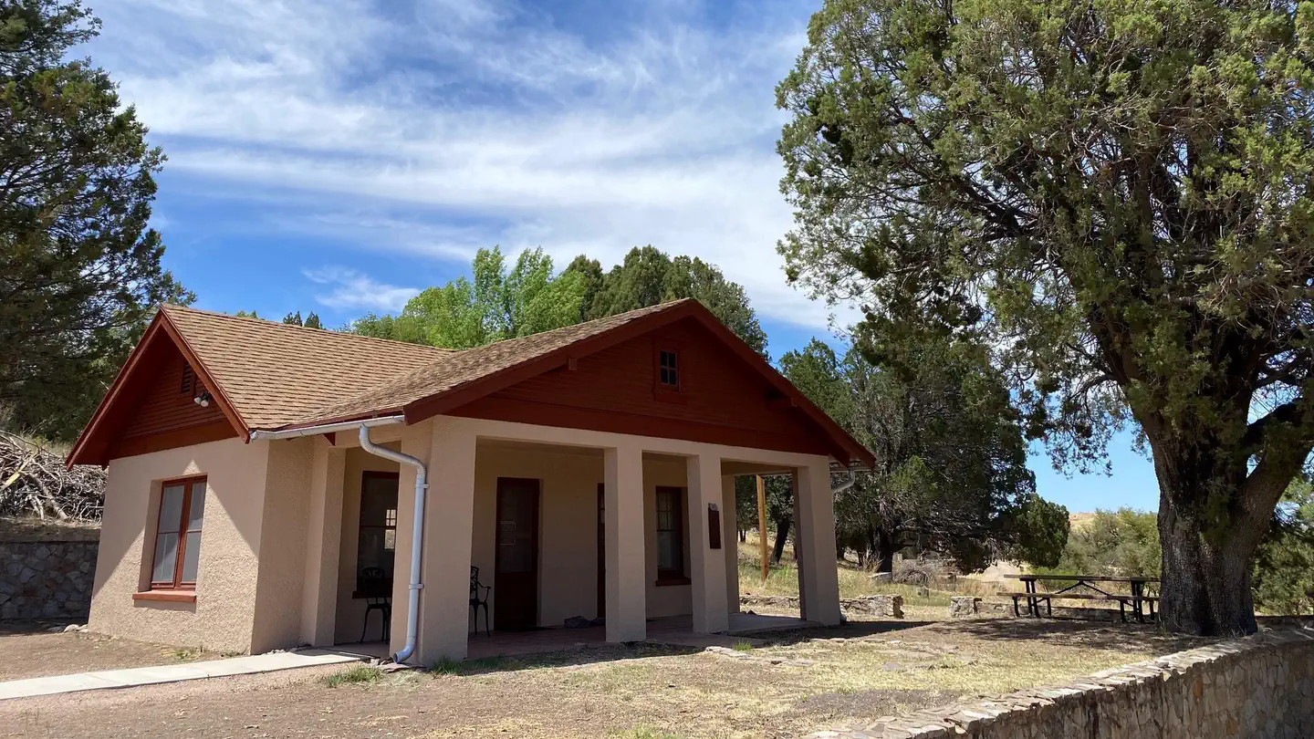
Campgrounds (Free Public)
See all 2Other public lands
Nearest towns
Sources
Place records include Recreation.gov data.