Calabasas
Coronado Forest, Arizona
Added
June 30th, 2026
Adventurer unlock
Directions, weather, and nearby services help you decide if this stop works tonight.
- Directions in Google, Apple, and Waze
- Weather, cell coverage, and elevation
- Nearby services and recent check-ins

About this place
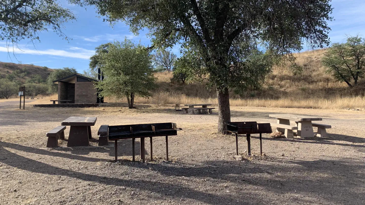
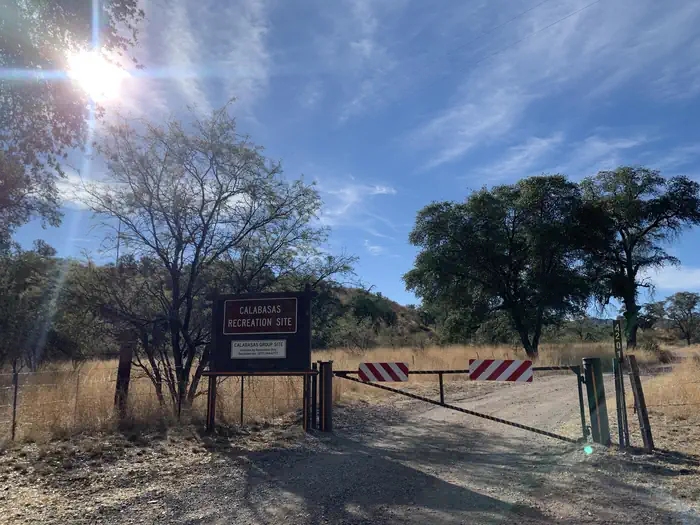
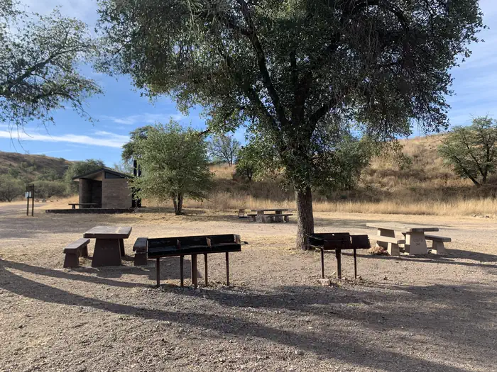
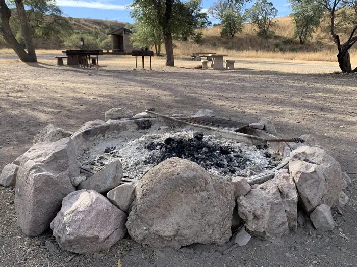
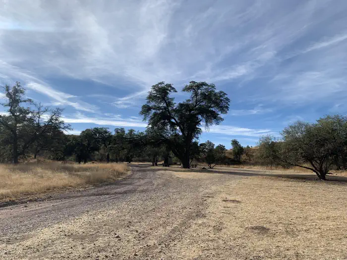
Overview Calabasas Group Campground is a place for groups of up to 250 people to enjoy scenery and privacy in a remote, natural setting. Weddings, family reunions and other social gatherings are especially popular during winter due to pleasant seasonal temperatures, yet it is open year-round. Calabasas is situated in Coronado National Forest in southern Arizona, home to a variety of ecosystems and recreation opportunities. It is located a short distance off Ruby Road near Peña Blanca Lake, 67 miles south of Tucson and 14 miles northwest of Nogales, Arizona.Recreation A major attraction at Calabasas Group Site is nearby Peña Blanca Lake. The 45-acre, man-made lake provides birding, boating and fishing opportunities year-round. Anglers can try for rainbow trout, bass, sunfish, crappie and catfish. Groups also enjoy picnicking in the camping area, hiking or mountain biking on area trails or visiting historic sites.Facilities The camping area can be reserved by one group at a time. Facilities at Calabasas include 14 tables, 12 campfire rings with grills, three pedestal barbecue grills, benches, a parking area and toilets. The site is spread out, so there is enough space to set up additional tables and facilities. There is no drinking water available; visitors must bring their own.Natural Features Campsites within the group area are spread out among a stand of oak trees within a shallow, grassy valley. A few well-worn pathways lead to low hilltops in the area where visitors will find good views of the surrounding valleys and mountains. Calabasas sits at an elevation of 4,000 feet. The Coronado National Forest covers 1.78 million acres of southeastern Arizona and southwestern New Mexico. Elevations range from 3,000 to 10,720 feet in 12 widely scattered mountain ranges or "sky islands" that rise dramatically from the desert floor, supporting plant communities as biologically diverse as those encountered on a trip from Mexico to Canada. Nearby Attractions Visitors can take an educational day trip to Tumacácori National Historical Park, which protects three Spanish colonial mission ruins, and Tubac Presidio State Historic Park, which preserves the ruins of the oldest Spanish Presidio site in Arizona. The border town, Nogales, is also close by. Tumacácori National Historical Park
Details
GPS 31.38500, -111.05194
Phone
None
Website
None
Nearby places
- White Rock Campground Campground (Paid Public) 2.4 mi
- Pena Blanca Lake Recreation Area Fishing Access 2.4 mi
- Atascosa Trailhead 5.7 mi
- Sycamore Canyon Trailhead Trailhead 8.7 mi
- Tumacacori National Historical Park Tours Campground (Paid Public) 13 mi
- Tumacácori Visitor Center and Museum Campground (Free Public) 13 mi
- Coal Mine Spring Wildlife Area 15 mi
- Arivaca Lake and Land Wildlife Area 16 mi
Check in
Share a visit note and optional photos for other travelers.
Sign in to check in, save this place, or add your own.
Recent check-ins
No check-ins yet for this place.