Public land
Wayne National Forest
Wayne National Forest is a national forest in Ohio. It covers 243,092 acres. USFS manages it. Landgogh lists 52 places here: 27 trailheads, 9 campgrounds (free public), 6 campgrounds (paid public), and 10 other places. Nearest towns: Nelsonville, Ironton, and Marietta.
52 places
Trailheads
See all 27-
Trailhead Archers Fork Trailhead 15.2 mi from Wayne National Forest center
-
Trailhead Bowl Trailhead 63.4 mi from Wayne National Forest center
-
Trailhead Deucher Trailhead 19.2 mi from Wayne National Forest center
-
Trailhead Doanville-York Bicycle Trailhead 59.7 mi from Wayne National Forest center
-
Trailhead Elm Trailhead 63.9 mi from Wayne National Forest center
-
Trailhead Hanging Rock Trailhead 116.8 mi from Wayne National Forest center
-
Trailhead Jackson Run Trailhead 15.7 mi from Wayne National Forest center
-
Trailhead Long Ridge Trailhead 57.4 mi from Wayne National Forest center
-
Trailhead Longbow Archery Accessible Trailhead 111.9 mi from Wayne National Forest center
-
Trailhead Longbow Archery Trailhead 111.9 mi from Wayne National Forest center
-
Trailhead Longbow Archery Trailhead 111.9 mi from Wayne National Forest center
-
Trailhead Monroe Outlook Trailhead 49.8 mi from Wayne National Forest center
Campgrounds (Free Public)
See all 9-
Campground (Free Public) Balancing Rock Trailhead 112.0 mi from Wayne National Forest center
-
Campground (Free Public) Bluegrass Trailhead 108.6 mi from Wayne National Forest center
-
Campground (Free Public) John's Creek Trailhead 108.0 mi from Wayne National Forest center
-
Campground (Free Public) Kinderhook Trailhead 23.5 mi from Wayne National Forest center
-
Campground (Free Public) Lane Farm Campground 24.1 mi from Wayne National Forest center
-
Campground (Free Public) Old Stone Church Trailhead 59.7 mi from Wayne National Forest center
-
Campground (Free Public) Paddle Creek Horse Campground 108.9 mi from Wayne National Forest center
-
Campground (Free Public) Underground Railroad: Payne Cemetery 60.8 mi from Wayne National Forest center
-
Campground (Free Public) Underground Railroad: Vesuvius Furnace 112.1 mi from Wayne National Forest center
Campgrounds (Paid Public)
See all 6-
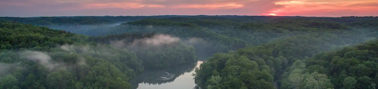 Campground (Paid Public)
Iron Ridge - Lake Vesuvius
111.1 mi from Wayne National Forest center
-
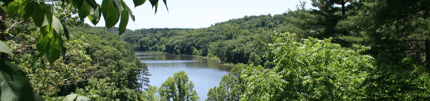 Campground (Paid Public)
Lake Vesuvius Recreation Area
112.0 mi from Wayne National Forest center
-
Campground (Paid Public) Lamping Homestead Campground 8.1 mi from Wayne National Forest center
-
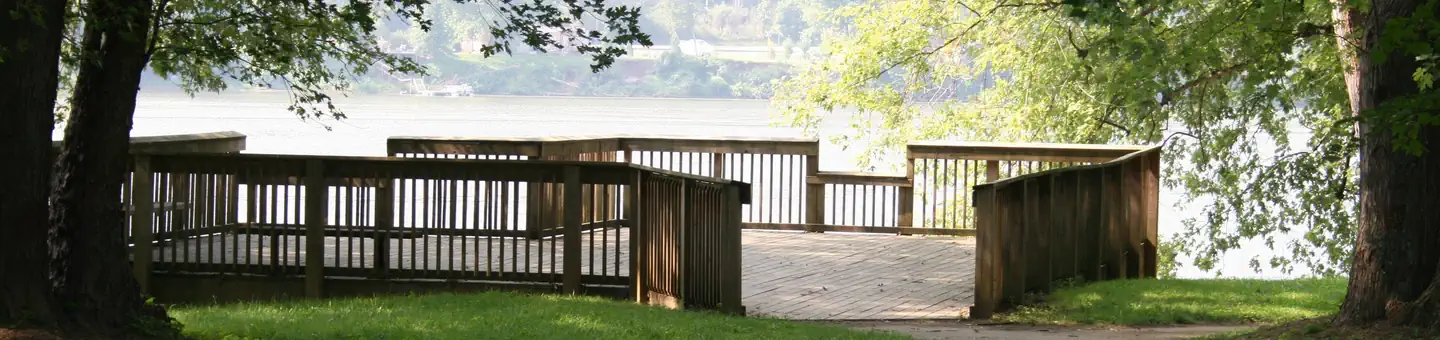 Campground (Paid Public)
Leith Run
20.4 mi from Wayne National Forest center
-
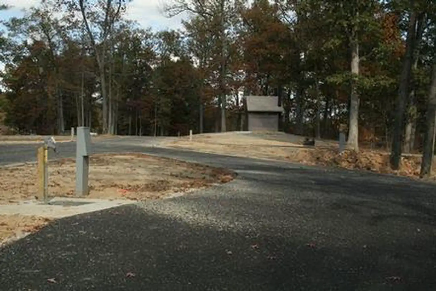 Campground (Paid Public)
Oak Hill - Lake Vesuvius
111.4 mi from Wayne National Forest center
-
Campground (Paid Public) Stone Church Horse Campground 59.3 mi from Wayne National Forest center
Hiking Trails
See all 4-
Hiking Trail Monday Creek OHV System 59.4 mi from Wayne National Forest center
-
Hiking Trail Monday Creek Trailhead 59.7 mi from Wayne National Forest center
-
Hiking Trail Monroe Outlook 49.7 mi from Wayne National Forest center
-
Hiking Trail Morgan Sisters Trailhead 95.3 mi from Wayne National Forest center
Points of interest
4-
Point of interest Arabia Canoe Launch Site 103.4 mi from Wayne National Forest center
-
Point of interest Athens Ranger District - Athens Area 59.5 mi from Wayne National Forest center
-
Point of interest Athens Ranger District - Marietta Area 29.0 mi from Wayne National Forest center
-
Point of interest Ironton Ranger District - Ironton Area 112.5 mi from Wayne National Forest center
Boat Ramps
See all 1Tourist Attractions
See all 1Nearest towns
Sources
Place records include Recreation.gov data.