Public land
Umatilla National Forest
Umatilla National Forest is a national forest in Oregon and Washington. It covers 1,085,248 acres. USFS manages it. Landgogh lists 120 places here: 47 trailheads, 28 campgrounds (paid public), 19 points of interest, and 26 other places. Nearest towns: Milton-Freewater, La Grande, and Baker City.
120 places
Trailheads
See all 47-
Trailhead Alder Creek Th 52.7 mi from Umatilla National Forest center
-
Trailhead Basin Th 16.3 mi from Umatilla National Forest center
-
Trailhead Battle Creek Th 16.7 mi from Umatilla National Forest center
-
Trailhead Battle Creek Trailhead 16.7 mi from Umatilla National Forest center
-
Trailhead Beeman Junkins Th 17.7 mi from Umatilla National Forest center
-
Trailhead Big Creek Trailhead 21.2 mi from Umatilla National Forest center
-
Trailhead Buck Creek Th 70.9 mi from Umatilla National Forest center
-
Trailhead Buck Mountain 70.8 mi from Umatilla National Forest center
-
Trailhead Burnt Cabin Th 78.5 mi from Umatilla National Forest center
-
Trailhead Cold Springs/ Glade Cr Th 13.2 mi from Umatilla National Forest center
-
Trailhead Copple Th 55.2 mi from Umatilla National Forest center
-
Trailhead Corporation Th 71.5 mi from Umatilla National Forest center
Campgrounds (Paid Public)
See all 28-
Campground (Paid Public) Bear Wallow Creek Cg 34.7 mi from Umatilla National Forest center
-
Campground (Paid Public) Bull Prairie Campground 60.1 mi from Umatilla National Forest center
-
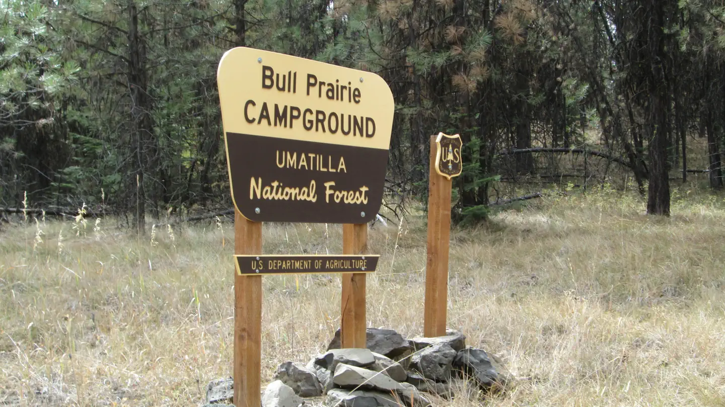 Campground (Paid Public)
Bull Prairie Campground (OR)
59.9 mi from Umatilla National Forest center
-
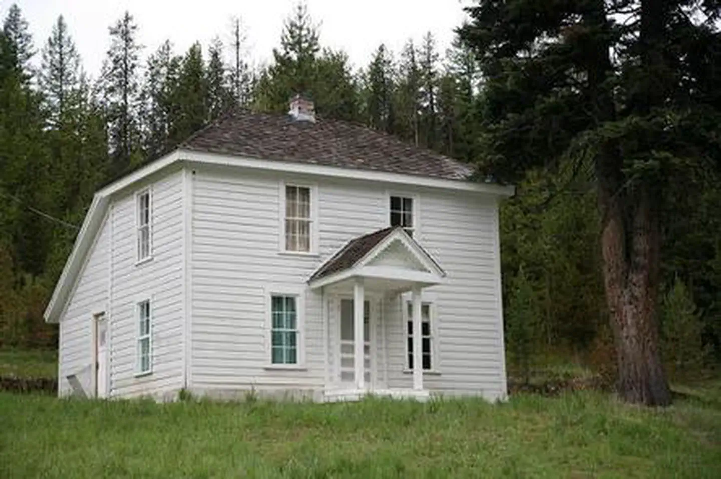 Campground (Paid Public)
Caretakers Cabin
5.6 mi from Umatilla National Forest center
-
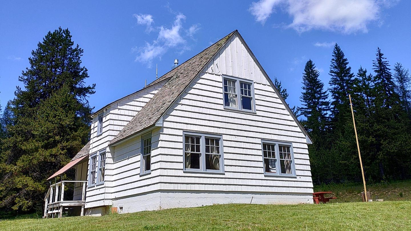 Campground (Paid Public)
Clearwater Big House
112.0 mi from Umatilla National Forest center
-
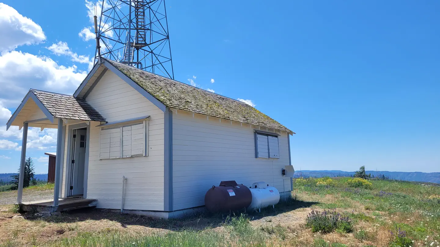 Campground (Paid Public)
Clearwater Lookout Cabin
112.0 mi from Umatilla National Forest center
-
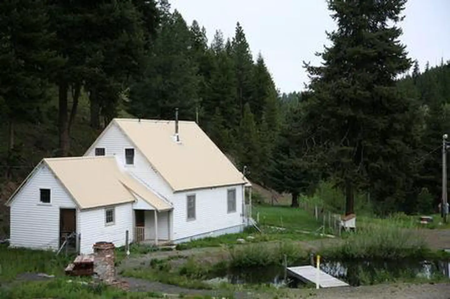 Campground (Paid Public)
Congo Gulch
5.6 mi from Umatilla National Forest center
-
Campground (Paid Public) Driftwood Cg 27.4 mi from Umatilla National Forest center
-
Campground (Paid Public) Frazier Cg/Th 31.4 mi from Umatilla National Forest center
-
Campground (Paid Public) Gold Dredge Cg 25.3 mi from Umatilla National Forest center
-
Campground (Paid Public) Hilltop Hideaway - Umatilla NF (OR) 5.5 mi from Umatilla National Forest center
-
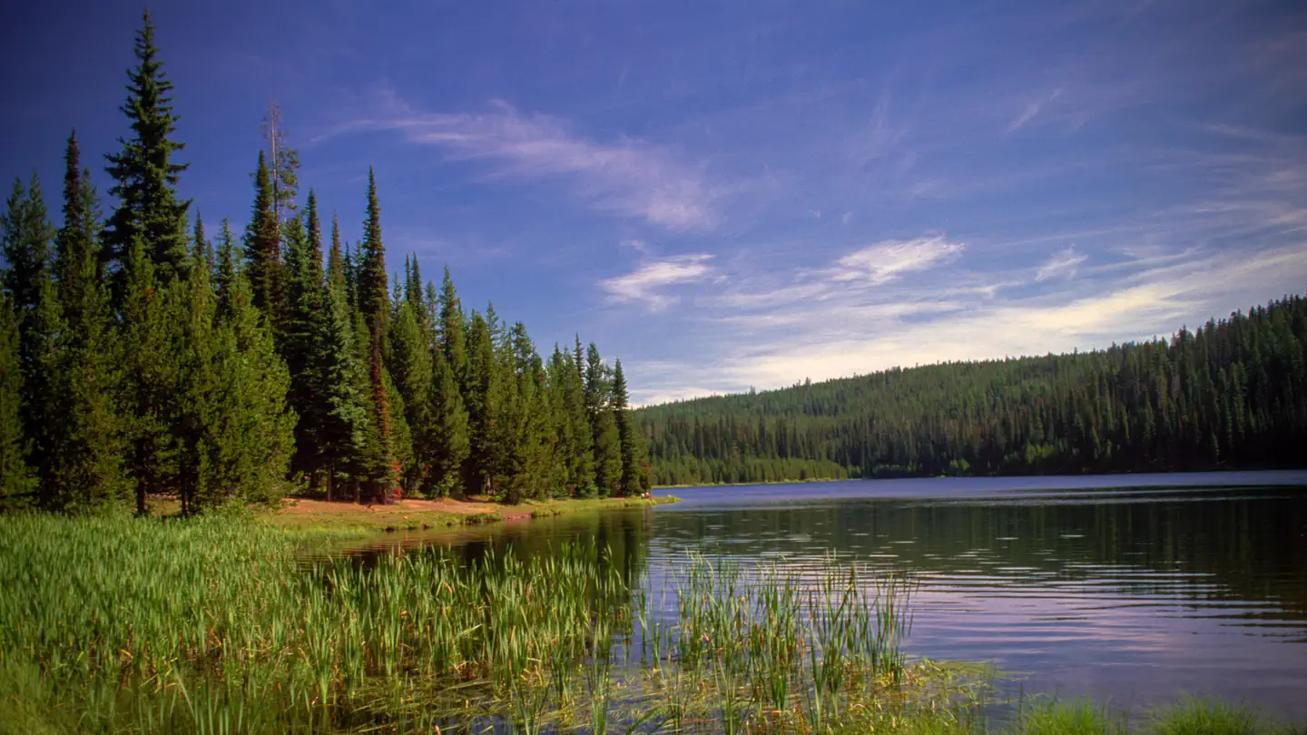 Campground (Paid Public)
Jubilee Lake Campground (OR)
81.4 mi from Umatilla National Forest center
Points of interest
19-
Point of interest Aspen Grove Interpretive Site 44.1 mi from Umatilla National Forest center
-
Point of interest Blue Mountain Byway East Interpretive Site 14.4 mi from Umatilla National Forest center
-
Point of interest Blue Mountain Byway West Interpretive Site 105.3 mi from Umatilla National Forest center
-
Point of interest Columbia Interpretive Site 50.3 mi from Umatilla National Forest center
-
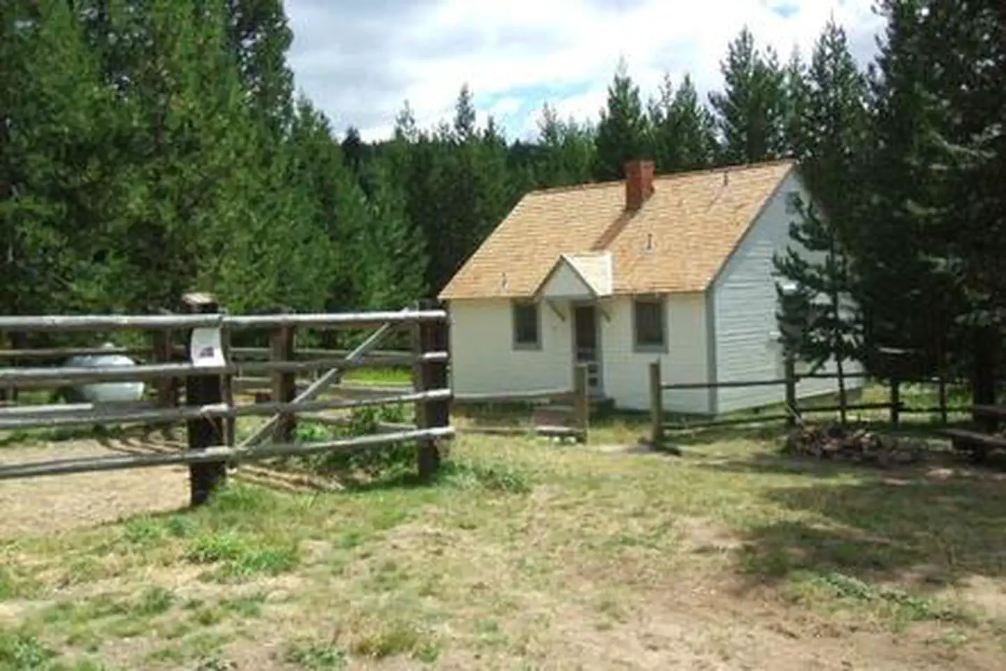 Point of interest
Ditch Creek Guard Station Cab
50.1 mi from Umatilla National Forest center
-
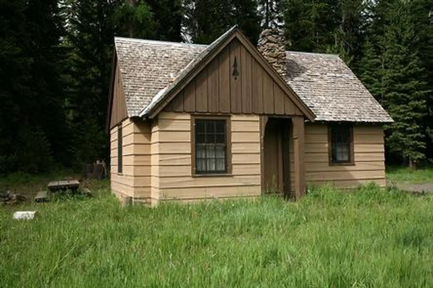 Point of interest
Fry Meadows Guard Station
80.7 mi from Umatilla National Forest center
-
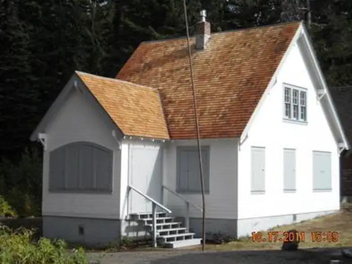 Point of interest
Godman Guard Station
101.7 mi from Umatilla National Forest center
-
Point of interest Heppner Ranger District 68.0 mi from Umatilla National Forest center
-
Point of interest Ione Interpretive Site 84.7 mi from Umatilla National Forest center
-
Point of interest Jubilee Lake Day Use Area 80.4 mi from Umatilla National Forest center
-
Point of interest Lexington Interpretive Site 50.3 mi from Umatilla National Forest center
-
Point of interest North Fork John Day Overlook Interpretive Site 25.7 mi from Umatilla National Forest center
Hiking Trails
See all 17-
Hiking Trail Basin Trailhead 16.3 mi from Umatilla National Forest center
-
Hiking Trail Buck Creek Trailhead 70.9 mi from Umatilla National Forest center
-
Hiking Trail Coyote Ridge Trailhead 73.9 mi from Umatilla National Forest center
-
Hiking Trail Crane Creek Trailhead 12.6 mi from Umatilla National Forest center
-
Hiking Trail Diamond Trailhead 107.5 mi from Umatilla National Forest center
-
Hiking Trail Forks Trailhead 19.0 mi from Umatilla National Forest center
-
Hiking Trail Granite Creek Trailhead 9.0 mi from Umatilla National Forest center
-
Hiking Trail Kelly Camp Trailhead 108.3 mi from Umatilla National Forest center
-
Hiking Trail Lost Creek Trailhead 6.5 mi from Umatilla National Forest center
-
Hiking Trail Moon Meadow Trailhead 15.3 mi from Umatilla National Forest center
-
Hiking Trail Packsaddle Trailhead 18.6 mi from Umatilla National Forest center
-
Hiking Trail Saddle Spring Trailhead 106.8 mi from Umatilla National Forest center
Campgrounds (Free Public)
See all 6-
Campground (Free Public) Big Creek Meadows Trailhead 21.1 mi from Umatilla National Forest center
-
Campground (Free Public) Coalmine Hill Cg 51.4 mi from Umatilla National Forest center
-
Campground (Free Public) Divide Well Cg 41.4 mi from Umatilla National Forest center
-
Campground (Free Public) Drift Fence Cg 30.8 mi from Umatilla National Forest center
-
Campground (Free Public) Fairview Cg 61.8 mi from Umatilla National Forest center
-
Campground (Free Public) Four Corners Sno-Park 32.4 mi from Umatilla National Forest center
Fishing Accesses
See all 1Tourist Attractions
See all 1Wildlife Areas
1Other public lands
Nearest towns
Sources
Place records include Recreation.gov data.