Public land
Malheur National Forest
Malheur National Forest is a national forest in Oregon. It covers 1,480,395 acres. USFS manages it. Landgogh lists 101 places here: 56 trailheads, 18 campgrounds (paid public), 15 campgrounds (free public), and 12 other places. Nearest towns: Baker City and Burns.
101 places
Trailheads
See all 56-
Trailhead Arch Rock Trailhead 22.2 mi from Malheur National Forest center
-
Trailhead Blackeye Trailhead 32.4 mi from Malheur National Forest center
-
Trailhead Buckhorn Meadow Trailhead 11.8 mi from Malheur National Forest center
-
Trailhead Canyon Mountain Trailhead 3.4 mi from Malheur National Forest center
-
Trailhead Cedar Grove Trailhead 18.1 mi from Malheur National Forest center
-
Trailhead Crane Creek Trailhead 29.2 mi from Malheur National Forest center
-
Trailhead Crane Crossing Trailhead 31.7 mi from Malheur National Forest center
-
Trailhead Crazy Creek Trailhead 10.6 mi from Malheur National Forest center
-
Trailhead Davis Creek - West Trailhead 26.6 mi from Malheur National Forest center
-
Trailhead Davis Creek East Trailhead 27.6 mi from Malheur National Forest center
-
Trailhead East Fork Canyon Creek Trailhead 5.3 mi from Malheur National Forest center
-
Trailhead Elk Flat - East Trailhead 29.3 mi from Malheur National Forest center
Campgrounds (Paid Public)
See all 18-
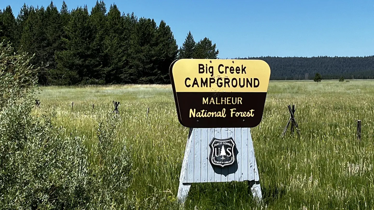 Campground (Paid Public)
Big Creek Campground
20.0 mi from Malheur National Forest center
-
Campground (Paid Public) Deerhorn Forest Camp 28.3 mi from Malheur National Forest center
-
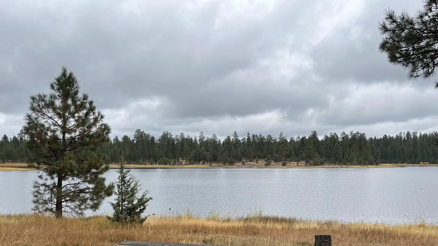 Campground (Paid Public)
Delintment Lake Campground
44.3 mi from Malheur National Forest center
-
Campground (Paid Public) Dixie Campground 24.0 mi from Malheur National Forest center
-
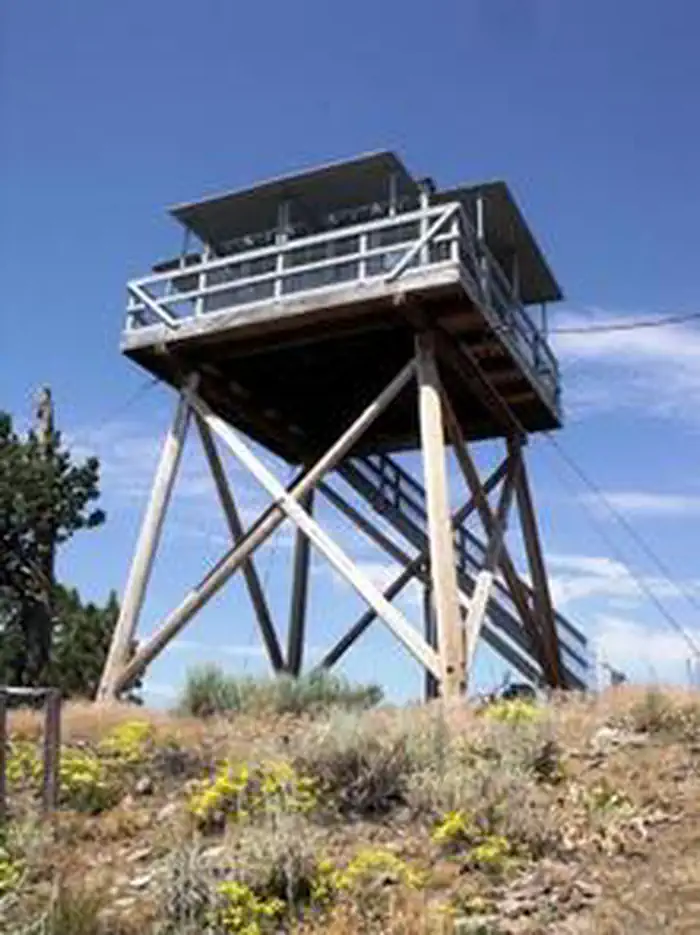 Campground (Paid Public)
Fall Mountain Lookout Cabin
4.0 mi from Malheur National Forest center
-
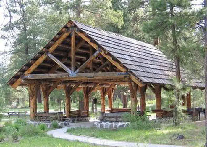 Campground (Paid Public)
Idlewild
36.2 mi from Malheur National Forest center
-
Campground (Paid Public) Joaquin Miller Horse Camp 34.3 mi from Malheur National Forest center
-
Campground (Paid Public) Lower Camp Creek Forest Camp 25.6 mi from Malheur National Forest center
-
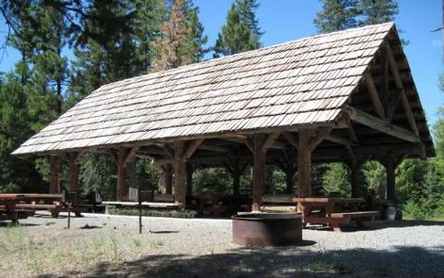 Campground (Paid Public)
Magone Lake
15.9 mi from Malheur National Forest center
-
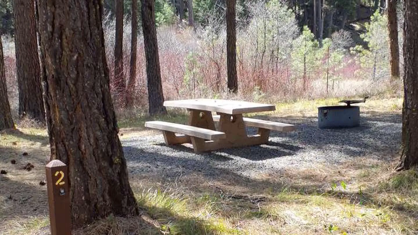 Campground (Paid Public)
Middle Fork Campground
27.9 mi from Malheur National Forest center
-
Campground (Paid Public) Murray Campground 18.2 mi from Malheur National Forest center
-
Campground (Paid Public) Parish Cabin Campground 14.3 mi from Malheur National Forest center
Campgrounds (Free Public)
See all 15-
Campground (Free Public) Big Creek/Snowshoe Trailhead 18.5 mi from Malheur National Forest center
-
Campground (Free Public) Billy Fields Campground 16.2 mi from Malheur National Forest center
-
Campground (Free Public) Crescent Campground 21.4 mi from Malheur National Forest center
-
Campground (Free Public) Elk Creek Campground 28.9 mi from Malheur National Forest center
-
Campground (Free Public) Elk Flat Spring Campground 29.3 mi from Malheur National Forest center
-
Campground (Free Public) Head O' Boulder Forest Camp 32.9 mi from Malheur National Forest center
-
Campground (Free Public) Huddleston Snowpark 23.4 mi from Malheur National Forest center
-
Campground (Free Public) Little Crane Campground 29.1 mi from Malheur National Forest center
-
Campground (Free Public) North Fork Malheur Campground 30.3 mi from Malheur National Forest center
-
Campground (Free Public) Oregon Mine Campground 16.3 mi from Malheur National Forest center
-
Campground (Free Public) Raddue Forest Camp 17.3 mi from Malheur National Forest center
-
Campground (Free Public) Rock Springs Campground 23.4 mi from Malheur National Forest center
Hiking Trails
See all 6-
Hiking Trail Buckhorn Meadows Trailhead 11.8 mi from Malheur National Forest center
-
Hiking Trail Crane Crossing 32.1 mi from Malheur National Forest center
-
Hiking Trail Davis Creek West Trailhead 27.1 mi from Malheur National Forest center
-
Hiking Trail East Davis Creek Trailhead 32.1 mi from Malheur National Forest center
-
Hiking Trail McClellan Trailhead 11.4 mi from Malheur National Forest center
-
Hiking Trail Skyline Trailhead 22.3 mi from Malheur National Forest center
Points of interest
4-
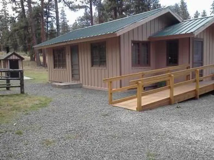 Point of interest
Deer Creek Guard Station Cabin
19.6 mi from Malheur National Forest center
-
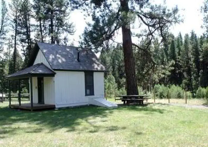 Point of interest
Murderers Creek Guard Station
15.6 mi from Malheur National Forest center
-
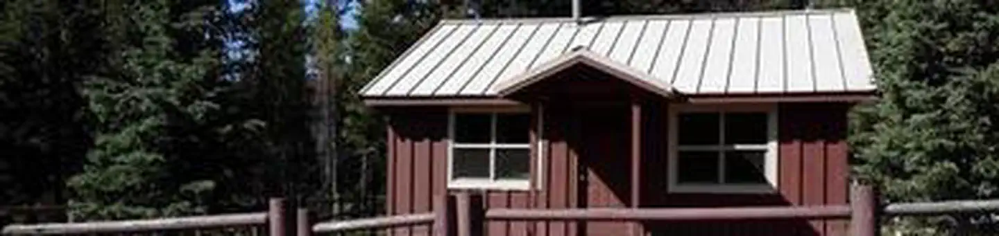 Point of interest
Short Creek Guard Station
28.8 mi from Malheur National Forest center
-
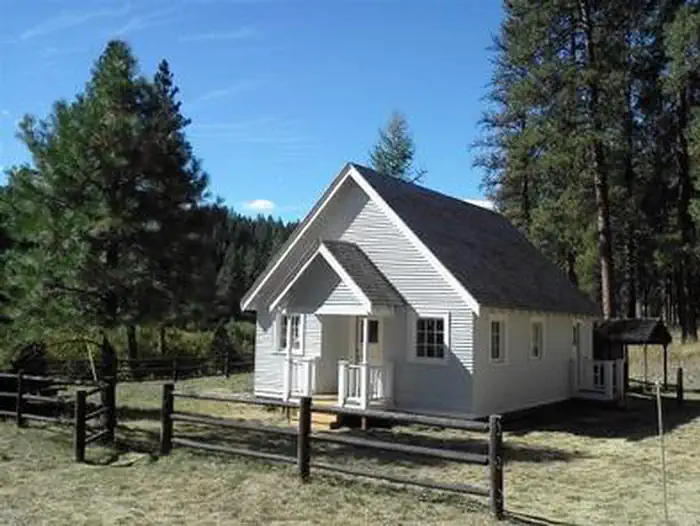 Point of interest
Sunshine Guard Station
27.2 mi from Malheur National Forest center
Fishing Accesses
See all 1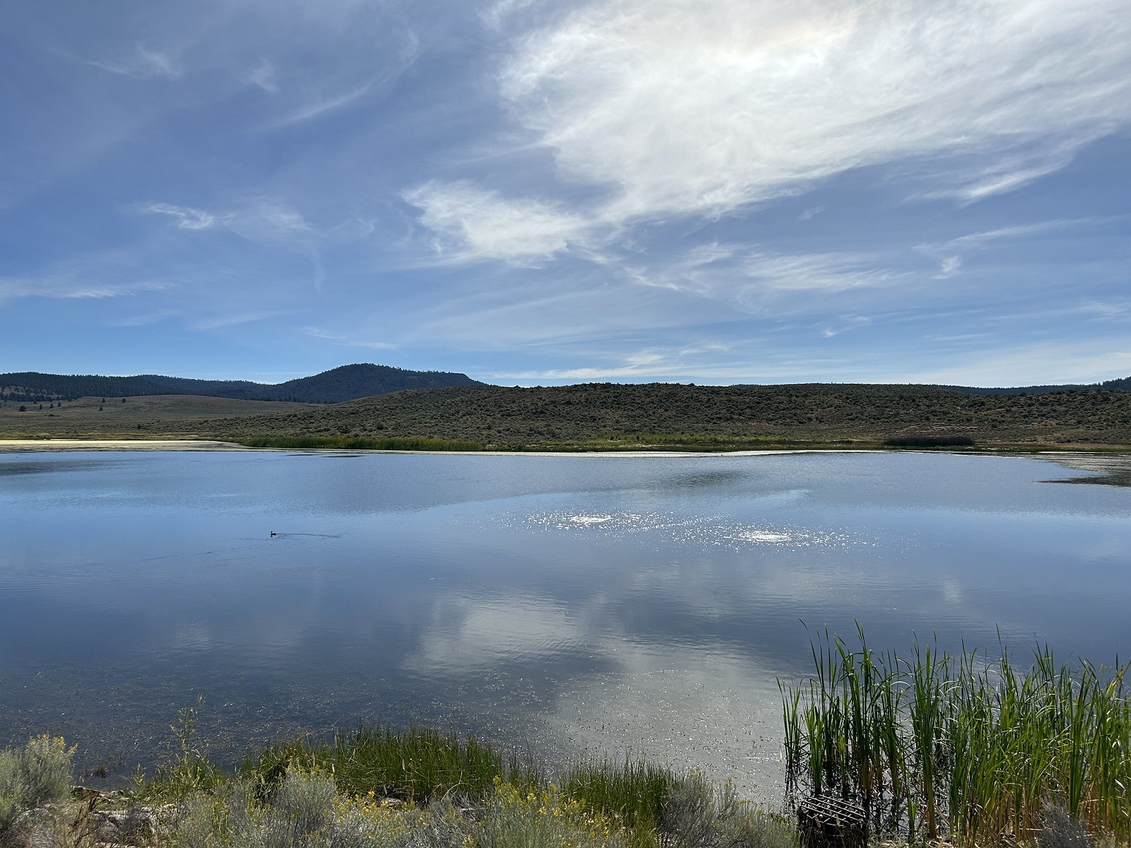
Tourist Attractions
See all 1Other public lands
Nearest towns
Sources
Place records include Recreation.gov data.