Public land
Ottawa National Forest
Ottawa National Forest is a national forest in Michigan. It covers 994,772 acres. USFS manages it. Landgogh lists 84 places here: 45 trailheads, 22 campgrounds (paid public), 6 campgrounds (free public), and 11 other places. Nearest towns: Iron River, Ironwood, and Houghton.
84 places
Trailheads
See all 45-
Trailhead Alligator Eye 31.7 mi from Ottawa National Forest center
-
Trailhead Bears Den Trailhead 33.6 mi from Ottawa National Forest center
-
Trailhead Bergland Ski Trail 21.3 mi from Ottawa National Forest center
-
Trailhead Bond Falls Hwt- Fr 5250 E 36.4 mi from Ottawa National Forest center
-
Trailhead Bond Falls Hwt- Fr 5250 W 36.4 mi from Ottawa National Forest center
-
Trailhead Cascade Falls Trailhead 15.1 mi from Ottawa National Forest center
-
Trailhead Courtney Lake Trail 18.9 mi from Ottawa National Forest center
-
Trailhead Deer Marsh Interpretive (Lake Ste Kathry 42.7 mi from Ottawa National Forest center
-
Trailhead Deer Marsh Interpretive (Ponozzo Rd) 42.1 mi from Ottawa National Forest center
-
Trailhead Deer Marsh Interpretive Trailhead 42.1 mi from Ottawa National Forest center
-
Trailhead Devil's Head Trailhead 44.3 mi from Ottawa National Forest center
-
Trailhead East Bear Lake 42.1 mi from Ottawa National Forest center
Campgrounds (Paid Public)
See all 22-
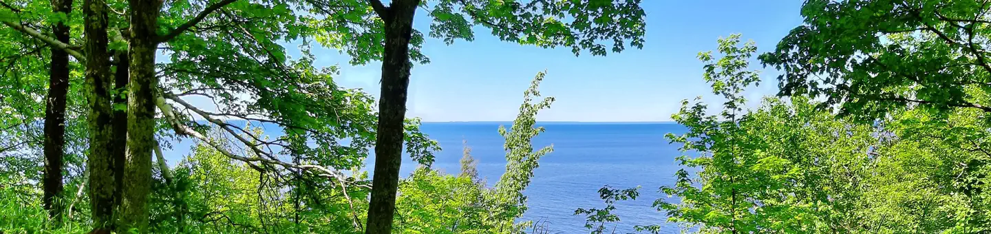 Campground (Paid Public)
Black River Harbor Campground
37.3 mi from Ottawa National Forest center
-
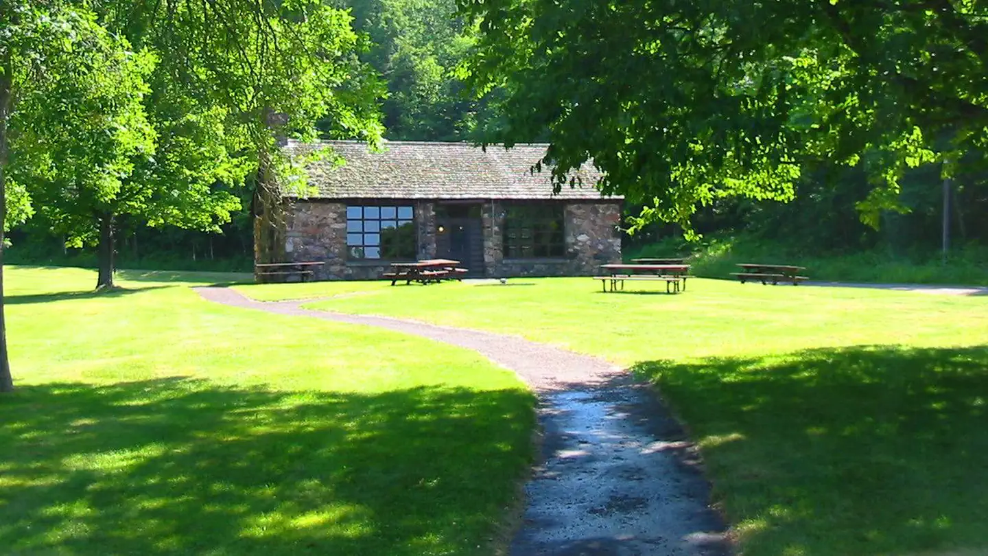 Campground (Paid Public)
Black River Harbor Pavilion
37.3 mi from Ottawa National Forest center
-
Campground (Paid Public) Bob Lake Campground 23.2 mi from Ottawa National Forest center
-
Campground (Paid Public) Bobcat Lake Camp 38.5 mi from Ottawa National Forest center
-
Campground (Paid Public) Clark Lake - Sylvania Camp 42.7 mi from Ottawa National Forest center
-
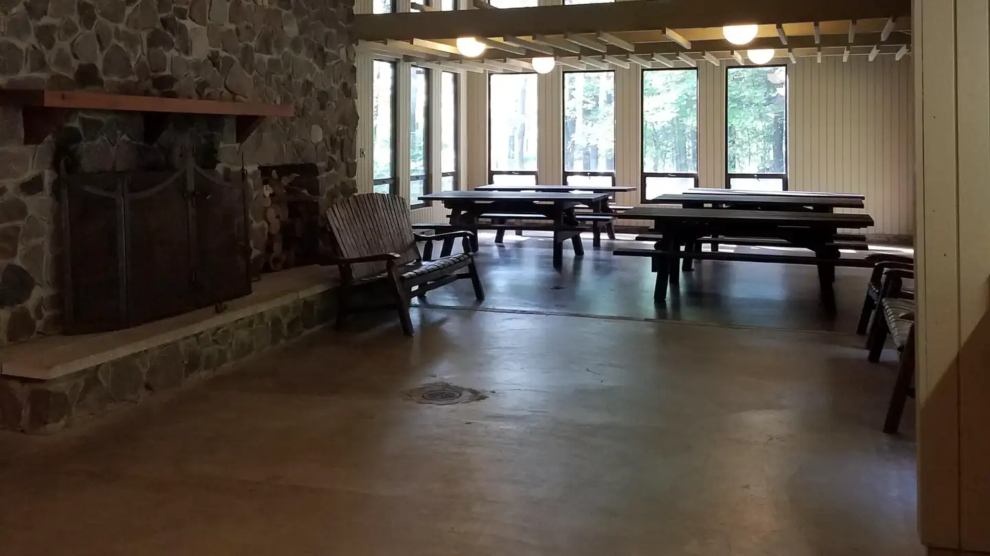 Campground (Paid Public)
Clark Lake Pavilion
42.4 mi from Ottawa National Forest center
-
Campground (Paid Public) Courtney Lake Campground 19.0 mi from Ottawa National Forest center
-
Campground (Paid Public) Golden Lake Campground 51.6 mi from Ottawa National Forest center
-
Campground (Paid Public) Henry Lake Camp 42.9 mi from Ottawa National Forest center
-
Campground (Paid Public) Imp Lake Camp 45.7 mi from Ottawa National Forest center
-
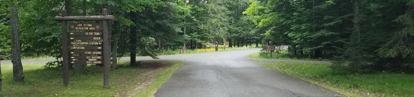 Campground (Paid Public)
Lake Ottawa Campground
60.0 mi from Ottawa National Forest center
-
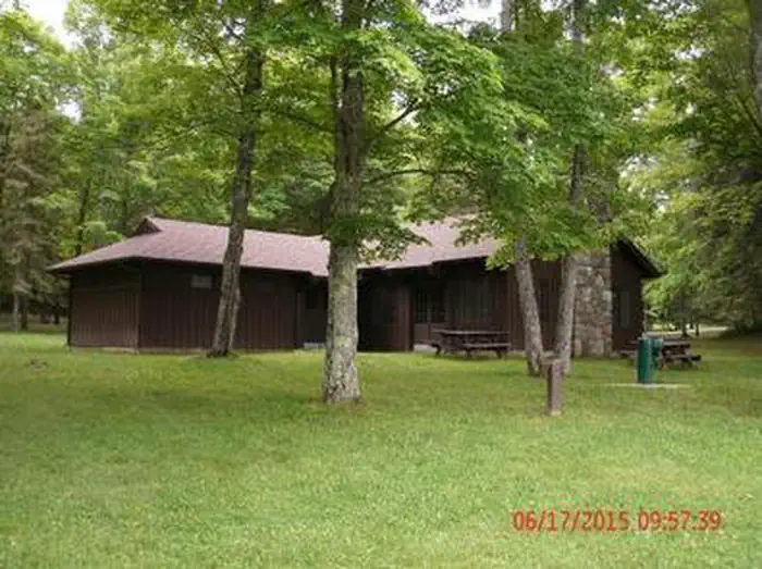 Campground (Paid Public)
Lake Ottawa Pavilion
59.9 mi from Ottawa National Forest center
Campgrounds (Free Public)
See all 6-
Campground (Free Public) Bobcat Lake Campground 38.5 mi from Ottawa National Forest center
-
Campground (Free Public) Burned Dam 39.5 mi from Ottawa National Forest center
-
Campground (Free Public) Langford Lake Boat Launch 41.4 mi from Ottawa National Forest center
-
Campground (Free Public) Paint River Forks Campground 51.6 mi from Ottawa National Forest center
-
Campground (Free Public) Robbins Pond Camp 33.2 mi from Ottawa National Forest center
-
Campground (Free Public) Sturgeon River Gorge Wilderness 33.4 mi from Ottawa National Forest center
Points of interest
5-
Point of interest Bessemer Ranger District 37.4 mi from Ottawa National Forest center
-
Point of interest Iron River Ranger District 41.7 mi from Ottawa National Forest center
-
Point of interest Kenton Ranger District 32.5 mi from Ottawa National Forest center
-
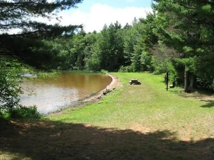 Point of interest
Marion Lake Group Site
42.1 mi from Ottawa National Forest center
-
Point of interest Ontonagon Ranger District 0.0 mi from Ottawa National Forest center
Fishing Accesses
See all 3Hiking Trails
See all 3Other public lands
Nearest towns
Sources
Place records include Recreation.gov data.