Public land
Cleveland National Forest
Cleveland National Forest is a national forest in California. It covers 426,468 acres. USFS manages it. Landgogh lists 77 places here: 18 trailheads, 17 hiking trails, 16 campgrounds (paid public), and 26 other places. Nearest towns: El Cajon, Lake Elsinore, and Poway.
77 places
Trailheads
See all 18-
Trailhead Agua Dulce Equestrian Trailhead 96.3 mi from Cleveland National Forest center
-
Trailhead Agua Dulce Trailhead 96.3 mi from Cleveland National Forest center
-
Trailhead Blue Jay Trailhead 16.1 mi from Cleveland National Forest center
-
Trailhead Cha'Chaany Hamuk Trailhead 80.1 mi from Cleveland National Forest center
-
Trailhead Four Corners Trailhead 98.4 mi from Cleveland National Forest center
-
Trailhead Horsethief Trailhead 93.4 mi from Cleveland National Forest center
-
Trailhead Laguna Information Site 96.4 mi from Cleveland National Forest center
-
Trailhead Laguna Trail Head 94.9 mi from Cleveland National Forest center
-
Trailhead Meadows Info & Sunset Trailhead 95.0 mi from Cleveland National Forest center
-
Trailhead Morgan Trailhead 19.6 mi from Cleveland National Forest center
-
Trailhead Noble Canyon Trailhead 93.1 mi from Cleveland National Forest center
-
Trailhead Red-tailed Roost Trailhead 96.7 mi from Cleveland National Forest center
Hiking Trails
See all 17-
Hiking Trail Bear Valley Trailhead 94.4 mi from Cleveland National Forest center
-
Hiking Trail Corona Back Country Area 2.9 mi from Cleveland National Forest center
-
Hiking Trail Dripping Springs Trailhead 45.4 mi from Cleveland National Forest center
-
Hiking Trail Holy Jim/Los Pinos Area 14.7 mi from Cleveland National Forest center
-
Hiking Trail Horsethief Trailhead 93.4 mi from Cleveland National Forest center
-
Hiking Trail Hotsprings Trailhead 17.8 mi from Cleveland National Forest center
-
Hiking Trail Meadows Information Kiosk Trailhead 95.0 mi from Cleveland National Forest center
-
Hiking Trail Mt. Palomar South Side Area 57.3 mi from Cleveland National Forest center
-
Hiking Trail Penny Pines Interpretive Site Trailhead 92.9 mi from Cleveland National Forest center
-
Hiking Trail Pine Creek Trailhead 93.1 mi from Cleveland National Forest center
-
Hiking Trail Pine Creek/Hauser Wilderness Area 92.0 mi from Cleveland National Forest center
-
Hiking Trail San Diego River Gorge Area 80.6 mi from Cleveland National Forest center
Campgrounds (Paid Public)
See all 16-
Campground (Paid Public) Blue Jay Campground 15.6 mi from Cleveland National Forest center
-
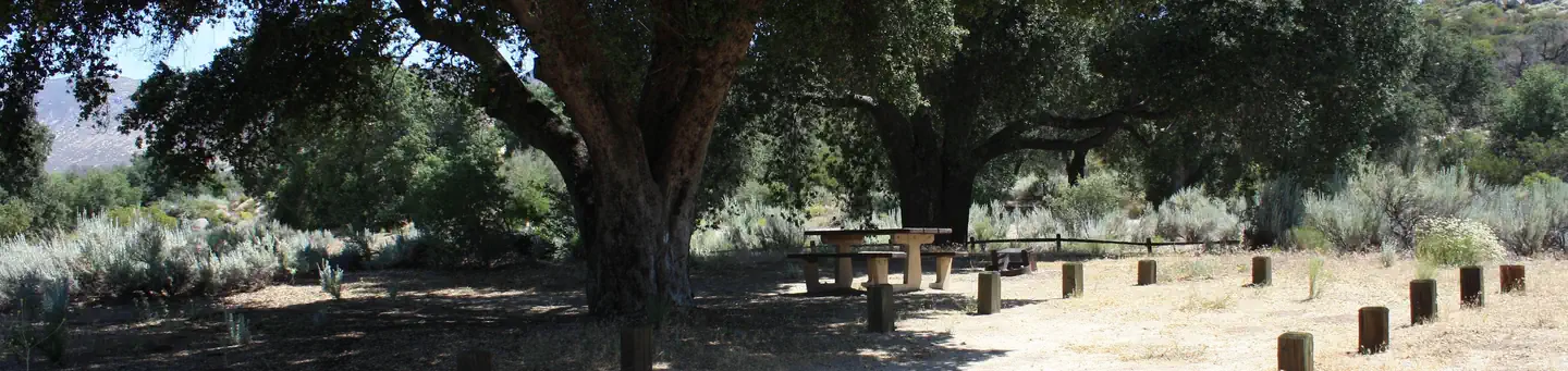 Campground (Paid Public)
Boulder Oaks Eqst
100.8 mi from Cleveland National Forest center
-
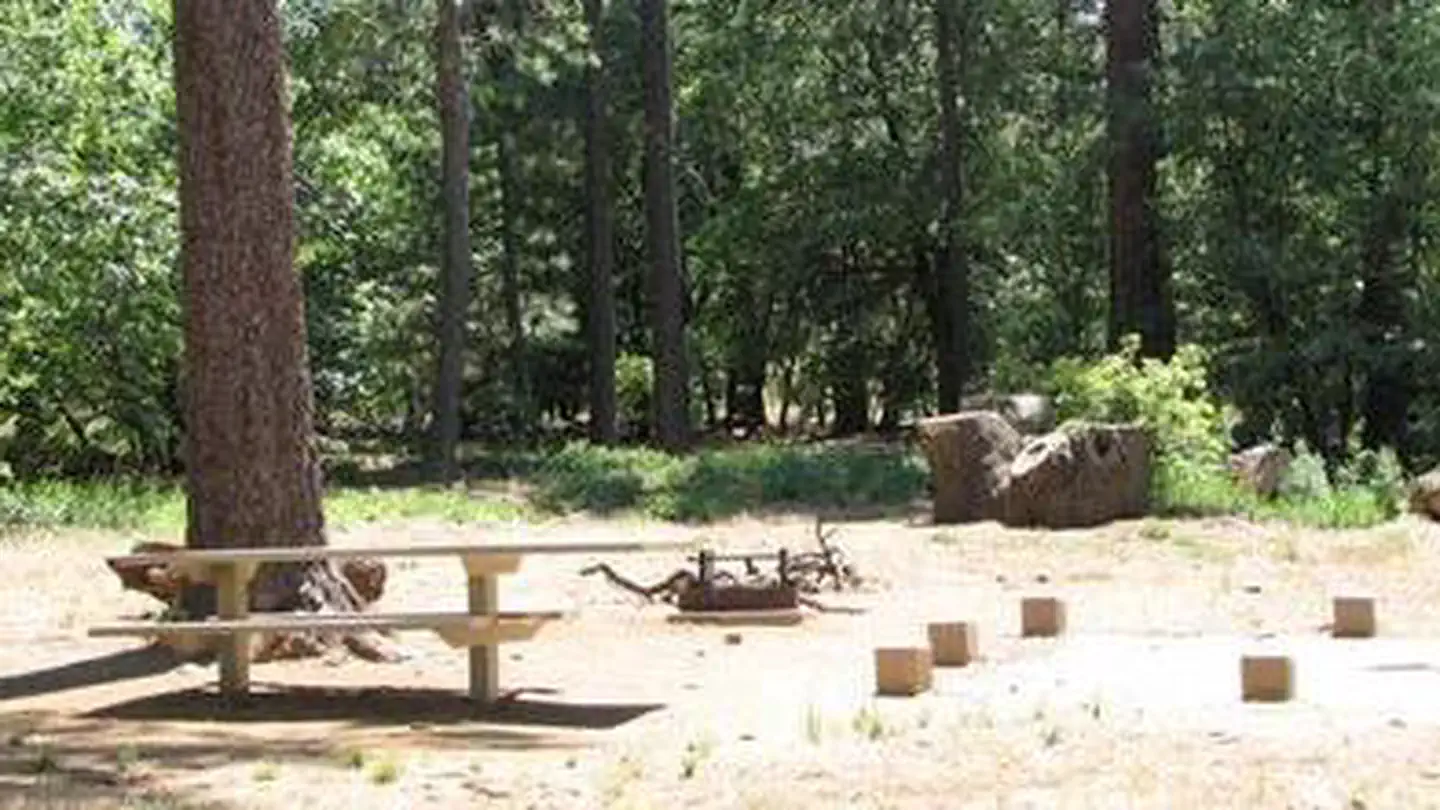 Campground (Paid Public)
Burnt Rancheria
96.7 mi from Cleveland National Forest center
-
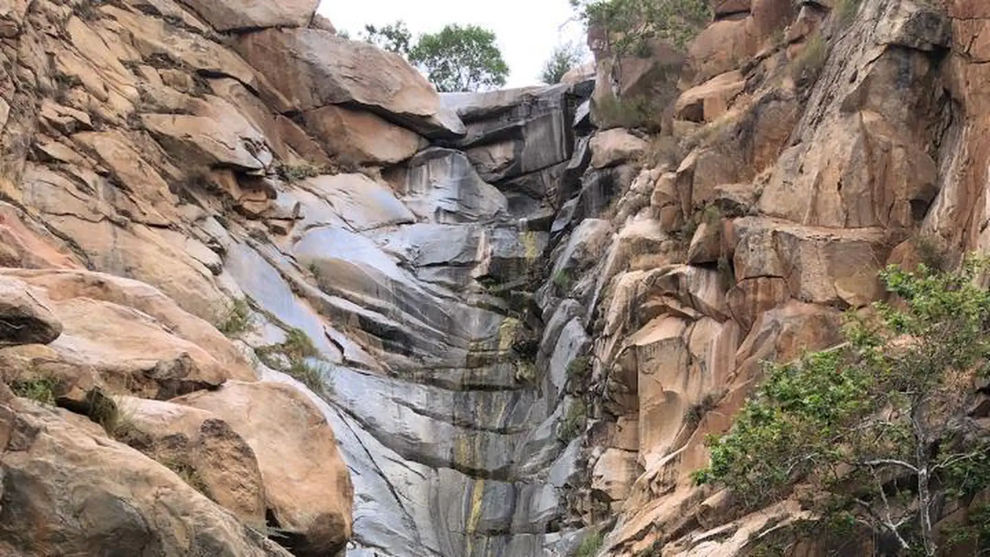 Campground (Paid Public)
Cedar Creek Falls
77.9 mi from Cleveland National Forest center
-
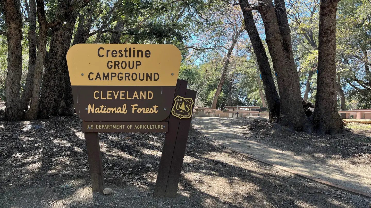 Campground (Paid Public)
Crestline Group Campground
56.5 mi from Cleveland National Forest center
-
 Campground (Paid Public)
Dripping Springs Campground (Ca)
45.1 mi from Cleveland National Forest center
-
Campground (Paid Public) El Cariso Campground 17.5 mi from Cleveland National Forest center
-
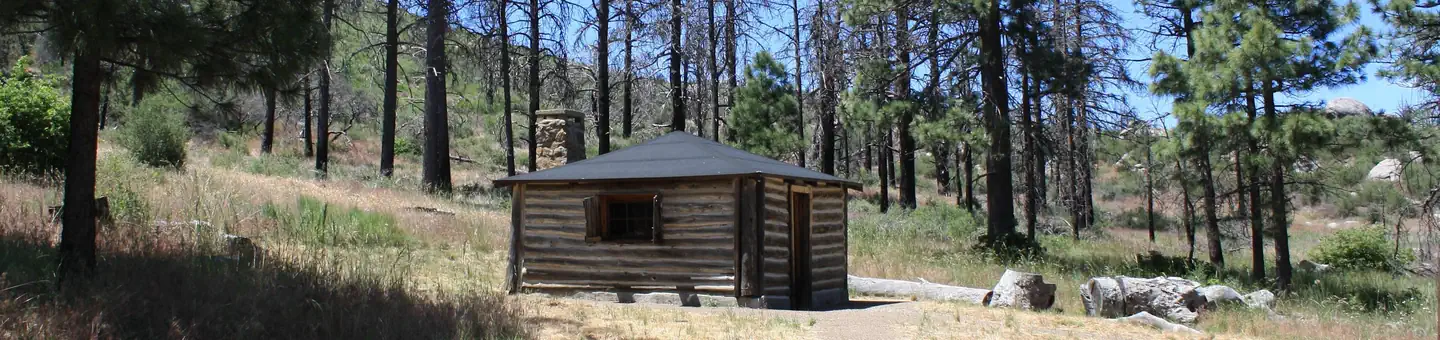 Campground (Paid Public)
El Prado Group
93.9 mi from Cleveland National Forest center
-
Campground (Paid Public) Falcon Group 15.7 mi from Cleveland National Forest center
-
 Campground (Paid Public)
Fry Creek Campground
54.3 mi from Cleveland National Forest center
-
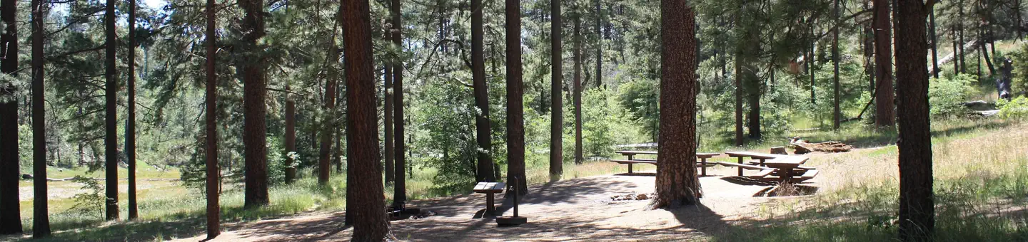 Campground (Paid Public)
Horse Heaven Group
94.5 mi from Cleveland National Forest center
-
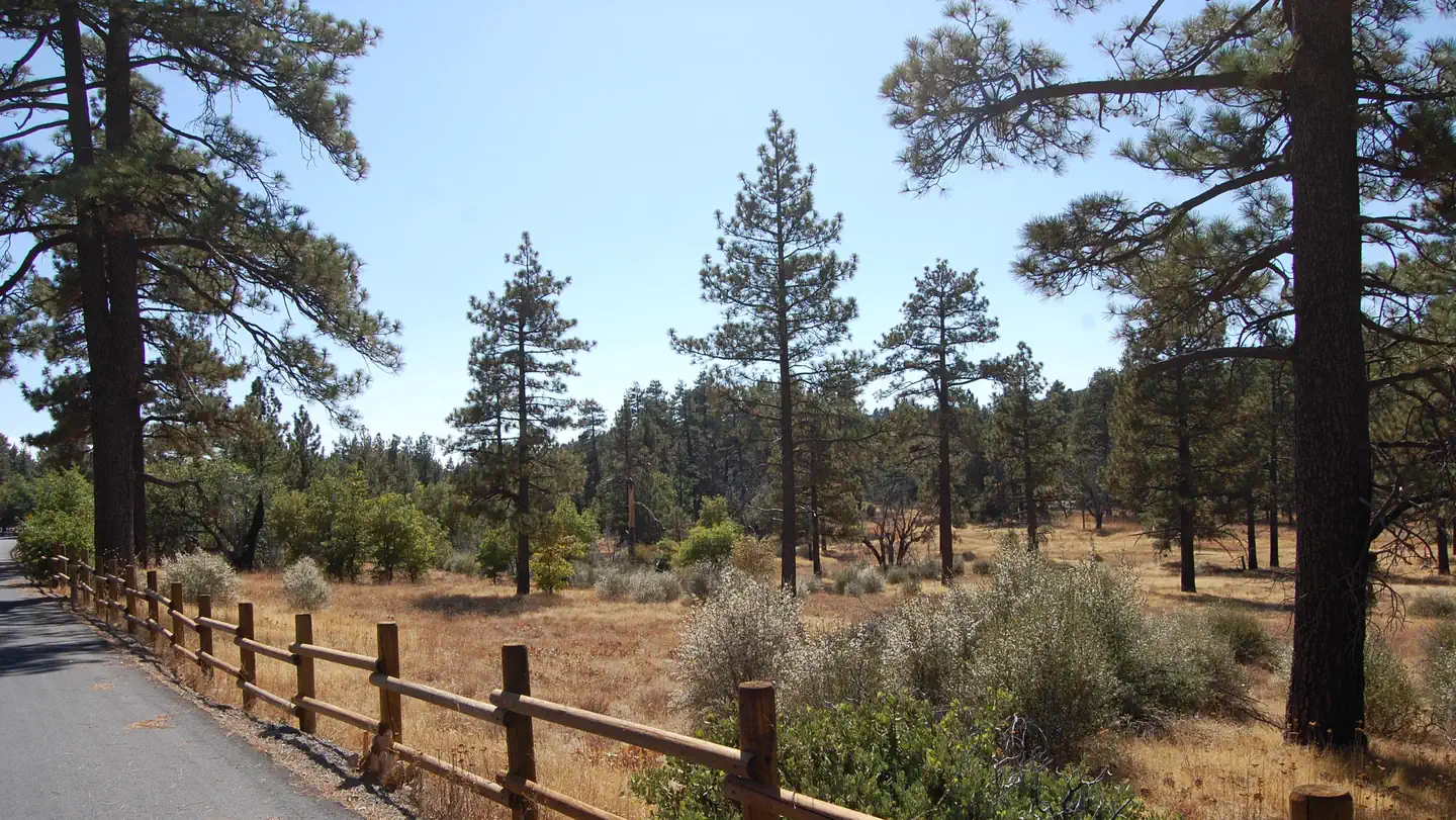 Campground (Paid Public)
Laguna
94.2 mi from Cleveland National Forest center
Campgrounds (Free Public)
See all 13-
Campground (Free Public) Bobcat Meadow Campground 99.1 mi from Cleveland National Forest center
-
Campground (Free Public) Cibbets Flat Campground 99.7 mi from Cleveland National Forest center
-
Campground (Free Public) Corral Canyon Area 99.6 mi from Cleveland National Forest center
-
Campground (Free Public) Corral Canyon Campground 98.6 mi from Cleveland National Forest center
-
Campground (Free Public) Descanso RD 85.9 mi from Cleveland National Forest center
-
Campground (Free Public) Indian Flats Campground 64.5 mi from Cleveland National Forest center
-
Campground (Free Public) Mt. Palomar North Side Area 48.2 mi from Cleveland National Forest center
-
Campground (Free Public) Orosco/Black Mt. Area 65.0 mi from Cleveland National Forest center
-
Campground (Free Public) Ortega Highway Area 18.8 mi from Cleveland National Forest center
-
Campground (Free Public) Saddleback Mountain (Santiago Peak) 9.7 mi from Cleveland National Forest center
-
Campground (Free Public) San Mateo Wilderness South Area 26.0 mi from Cleveland National Forest center
-
Campground (Free Public) Tenaja Campground 23.8 mi from Cleveland National Forest center
Points of interest
6-
Point of interest Buckman Springs Information Site 99.3 mi from Cleveland National Forest center
-
Point of interest El Cariso Info Site Interpretive Site (minor) 17.5 mi from Cleveland National Forest center
-
Point of interest Garnet Information Site 91.7 mi from Cleveland National Forest center
-
Point of interest Palomar Mountain Interpretive Station 56.4 mi from Cleveland National Forest center
-
Point of interest Shrine Organization Site 93.7 mi from Cleveland National Forest center
-
Point of interest Sierra Club Guyman Lodge Organization Site 94.0 mi from Cleveland National Forest center
Tourist Attractions
See all 6-
Tourist Attraction Desert View Picnic Site 96.4 mi from Cleveland National Forest center
-
Tourist Attraction El Cariso North Picnic Site 17.5 mi from Cleveland National Forest center
-
Tourist Attraction El Cariso South Picnic Site 17.7 mi from Cleveland National Forest center
-
Tourist Attraction Henshaw Scenic Vista Observation Site 63.8 mi from Cleveland National Forest center
-
Tourist Attraction Inaja Memorial Picnic Site 75.0 mi from Cleveland National Forest center
-
Tourist Attraction Pioneer Mail Picnic Site 91.0 mi from Cleveland National Forest center
Wildlife Areas
1Other public lands
Nearest towns
Sources
Place records include Recreation.gov data.