Public land
Death Valley National Park
Death Valley National Park is a national park in California. It covers 3,270,447 acres. NPS manages it. Landgogh lists 16 places here: 10 campgrounds (free public), 3 campgrounds (paid public), 2 tourist attractions, and 1 other place. Nearest towns: Ridgecrest and Bishop.
16 places
Campgrounds (Free Public)
See all 10-
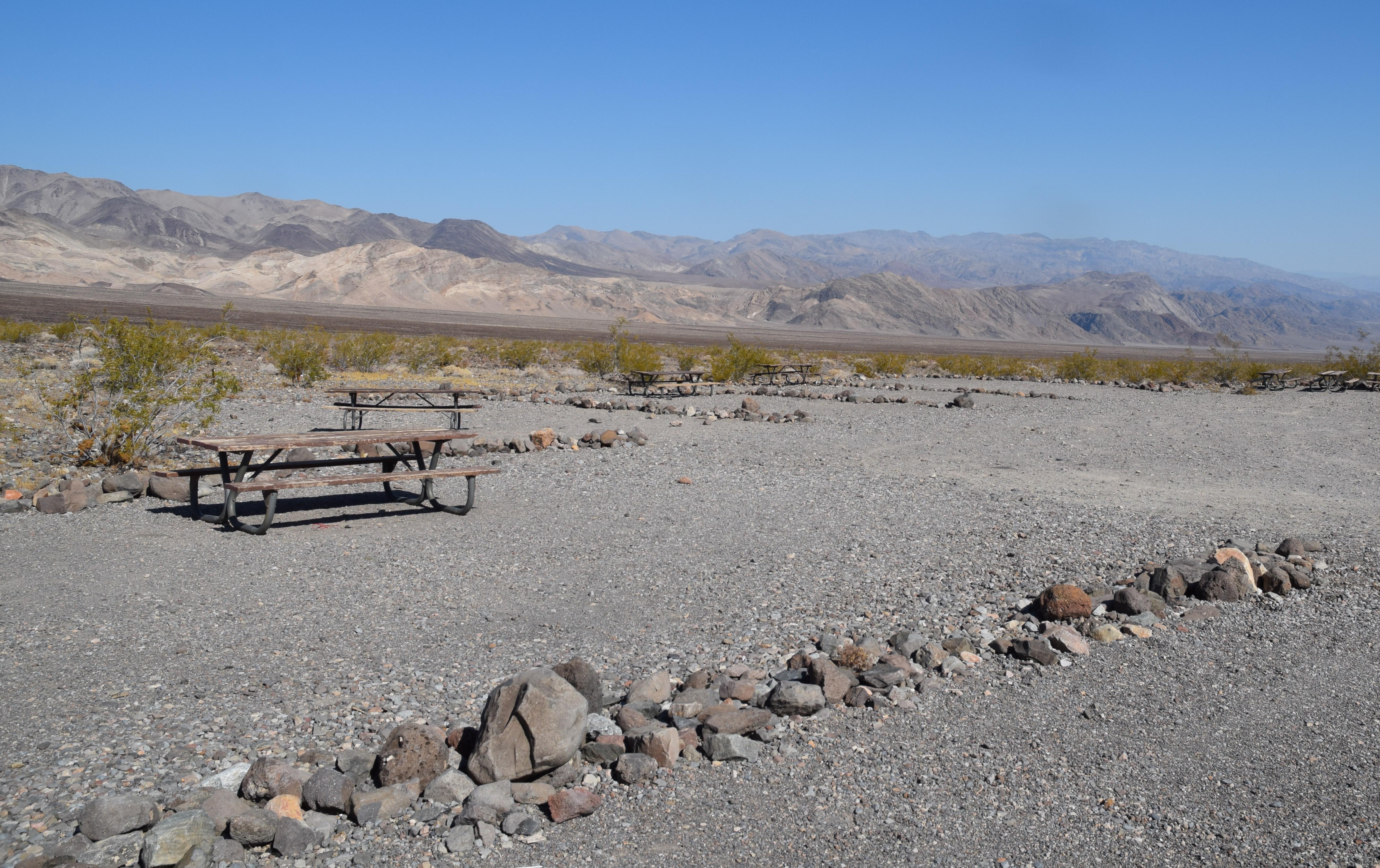 Campground (Free Public)
Emigrant Campground
27.4 mi from Death Valley National Park center
-
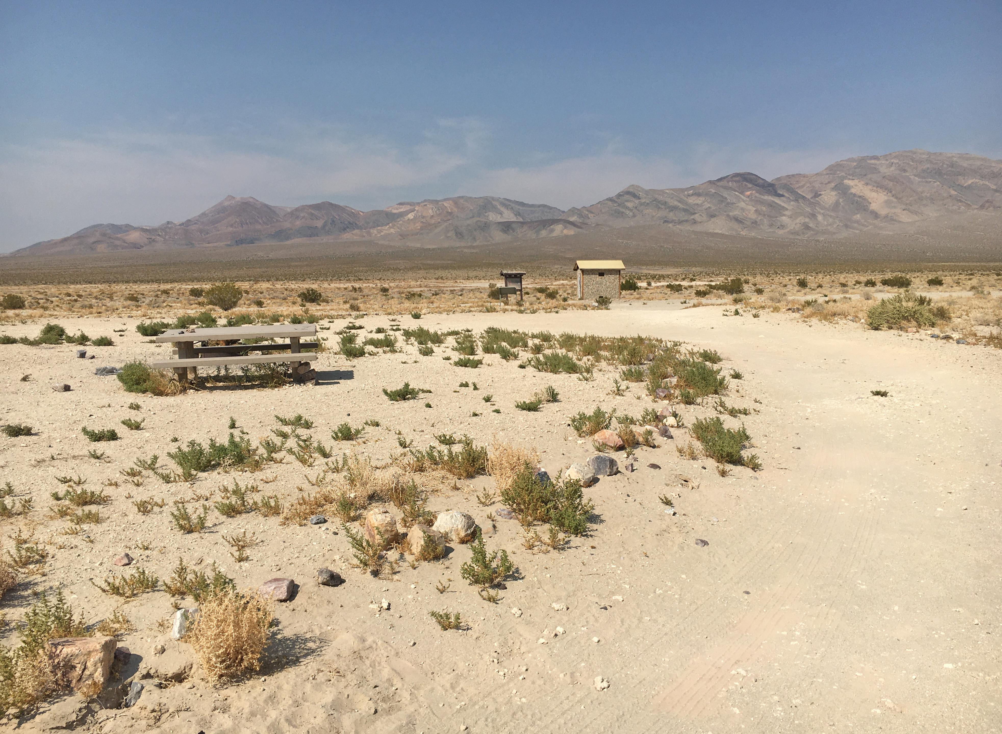 Campground (Free Public)
Eureka Dunes Campground (Primitive)
72.3 mi from Death Valley National Park center
-
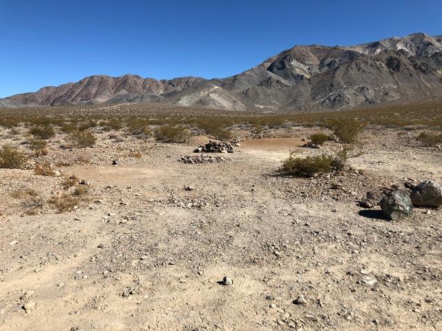 Campground (Free Public)
Homestake Campground (Primitive)
48.8 mi from Death Valley National Park center
-
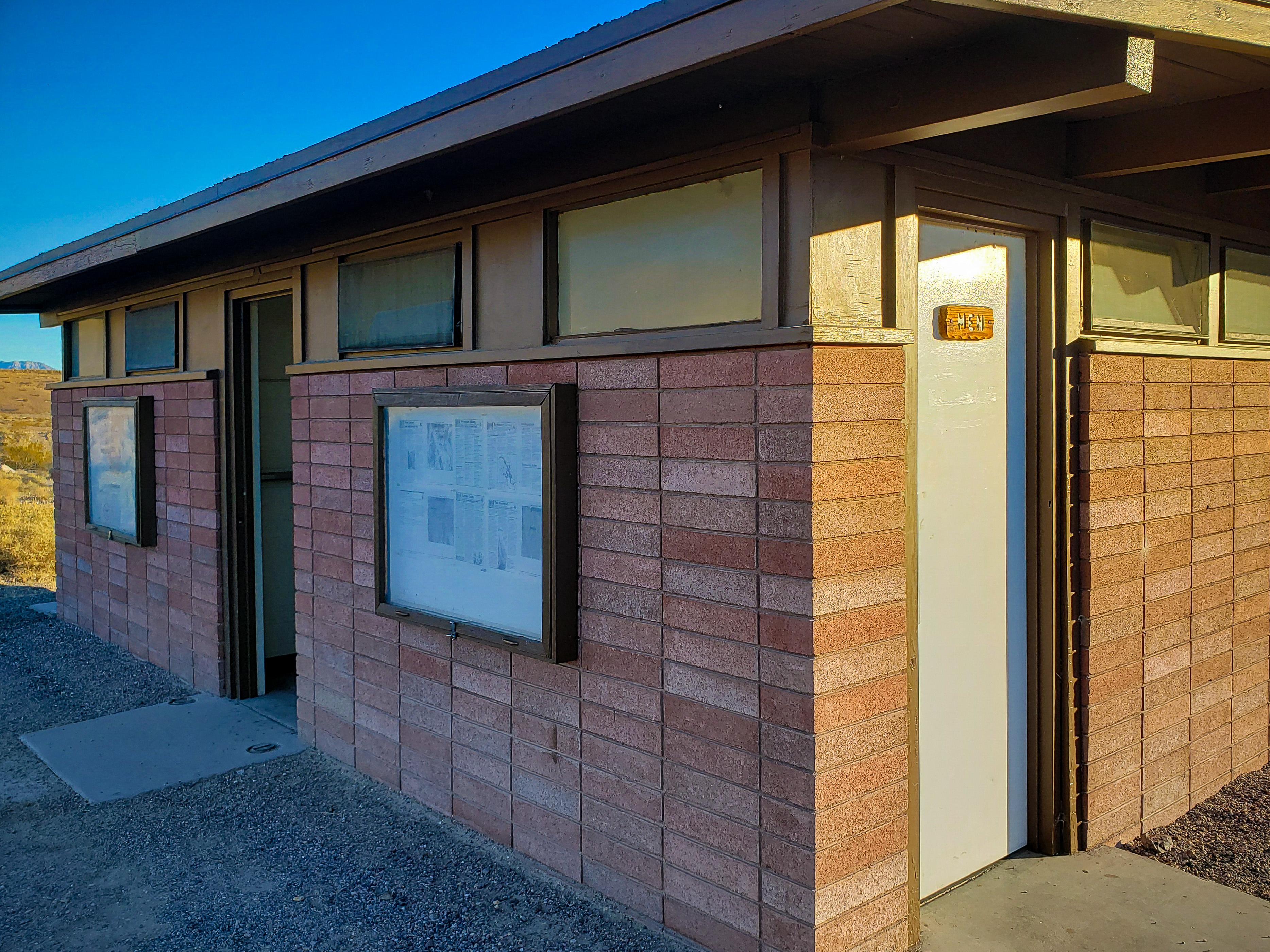 Campground (Free Public)
Mesquite Spring Campground
53.0 mi from Death Valley National Park center
-
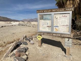 Campground (Free Public)
Saline Valley Campground (Primitive)
63.7 mi from Death Valley National Park center
-
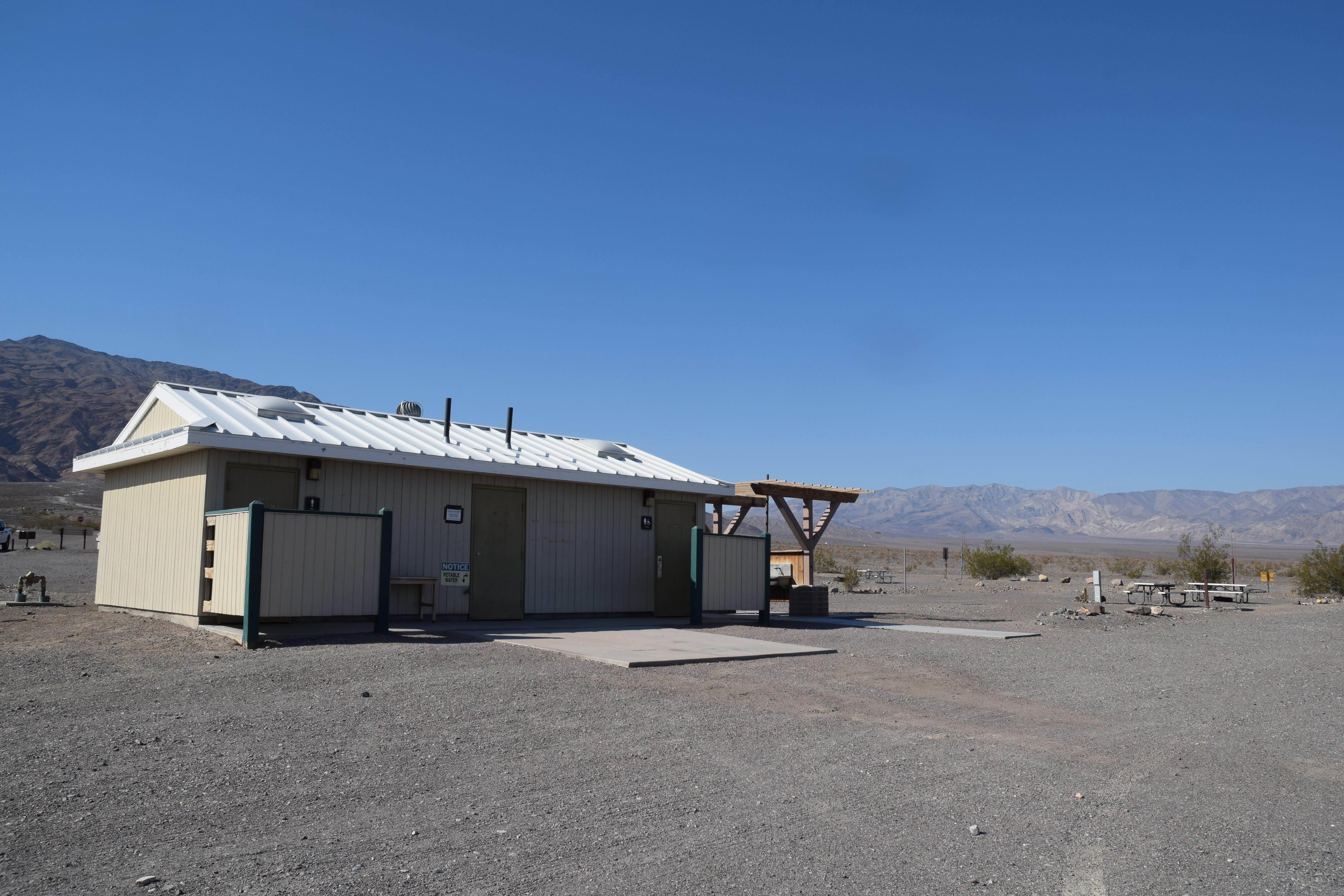 Campground (Free Public)
Stovepipe Wells Campground
27.0 mi from Death Valley National Park center
-
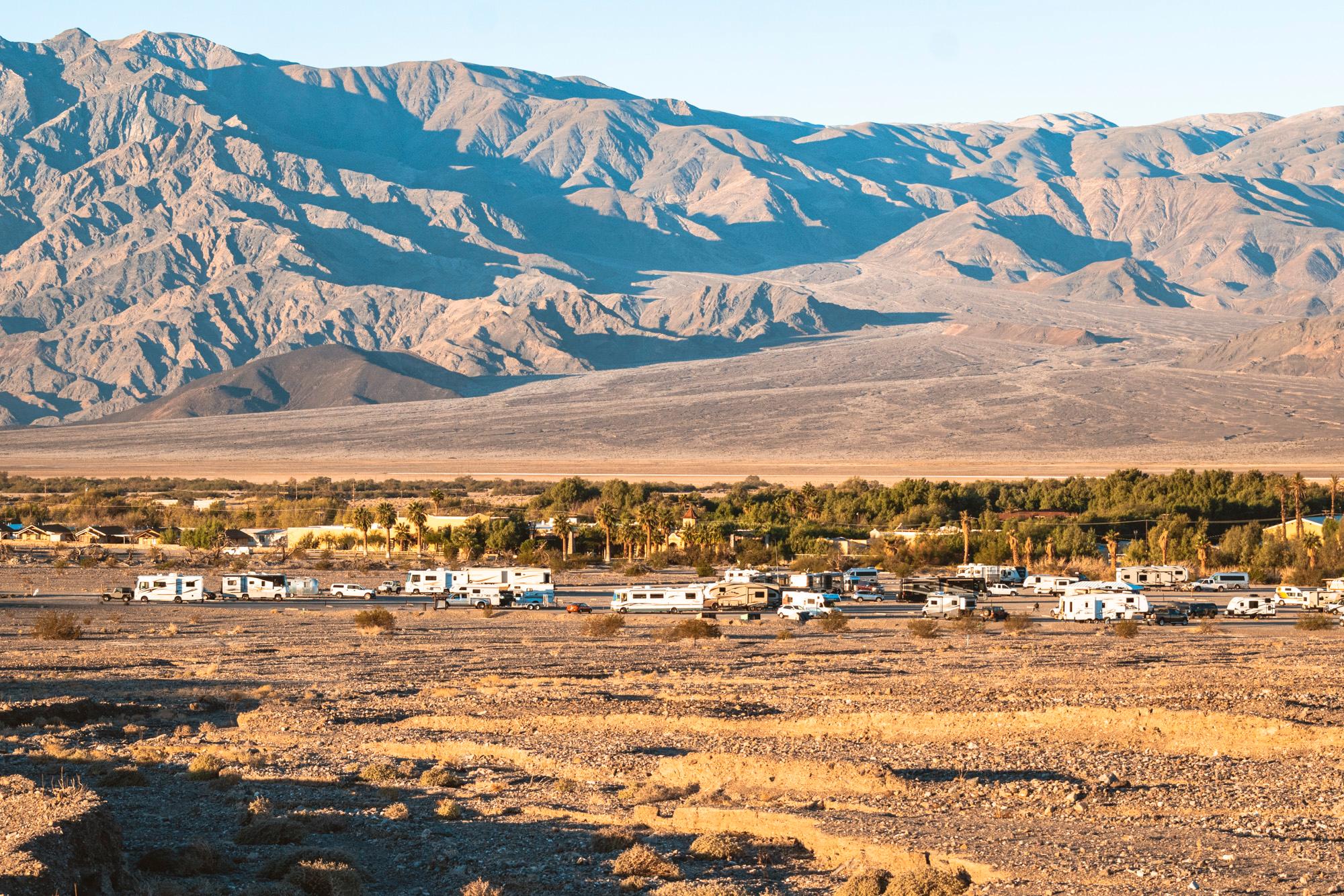 Campground (Free Public)
Sunset Campground
8.2 mi from Death Valley National Park center
-
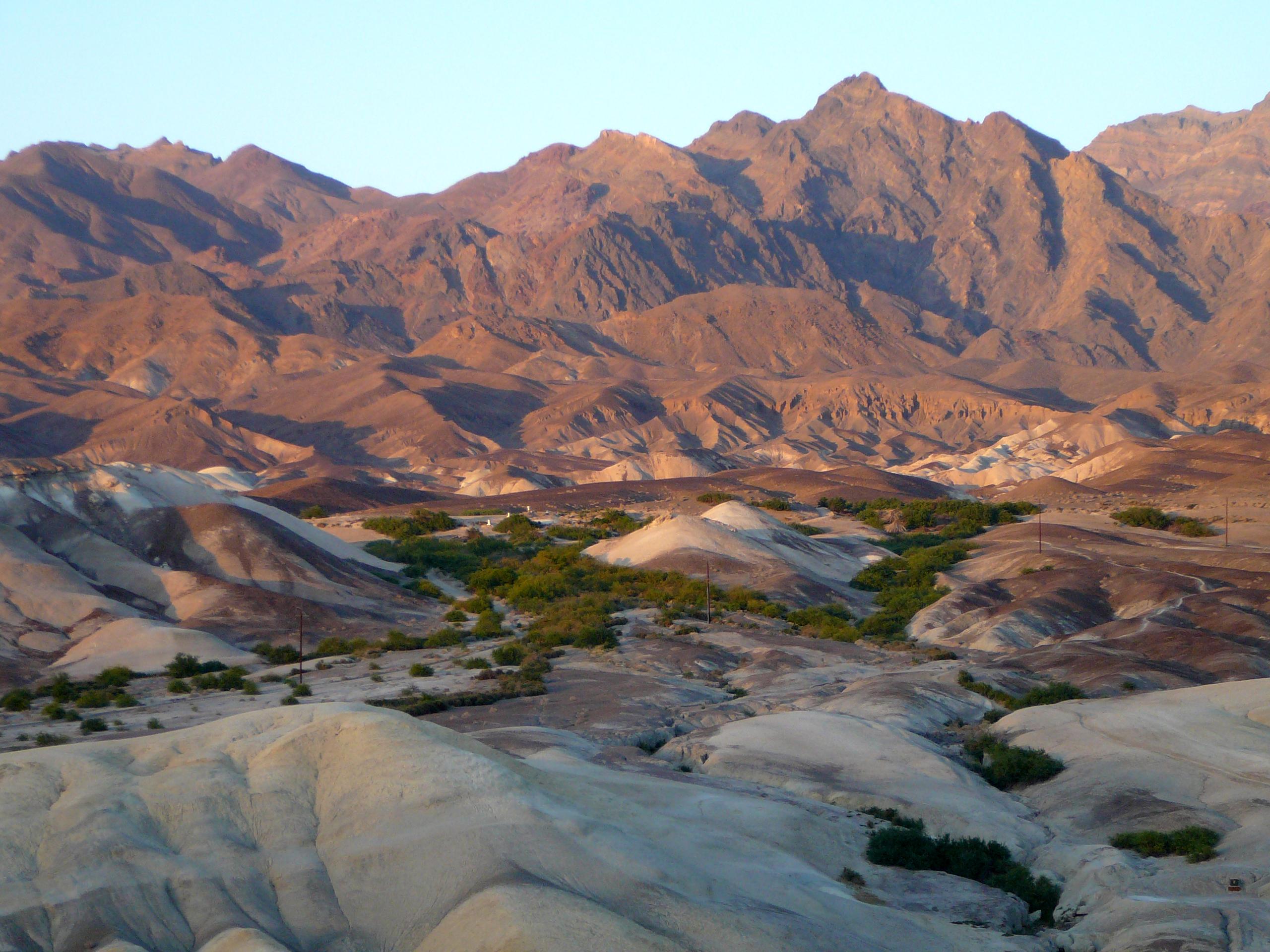 Campground (Free Public)
Texas Springs Campground
8.2 mi from Death Valley National Park center
-
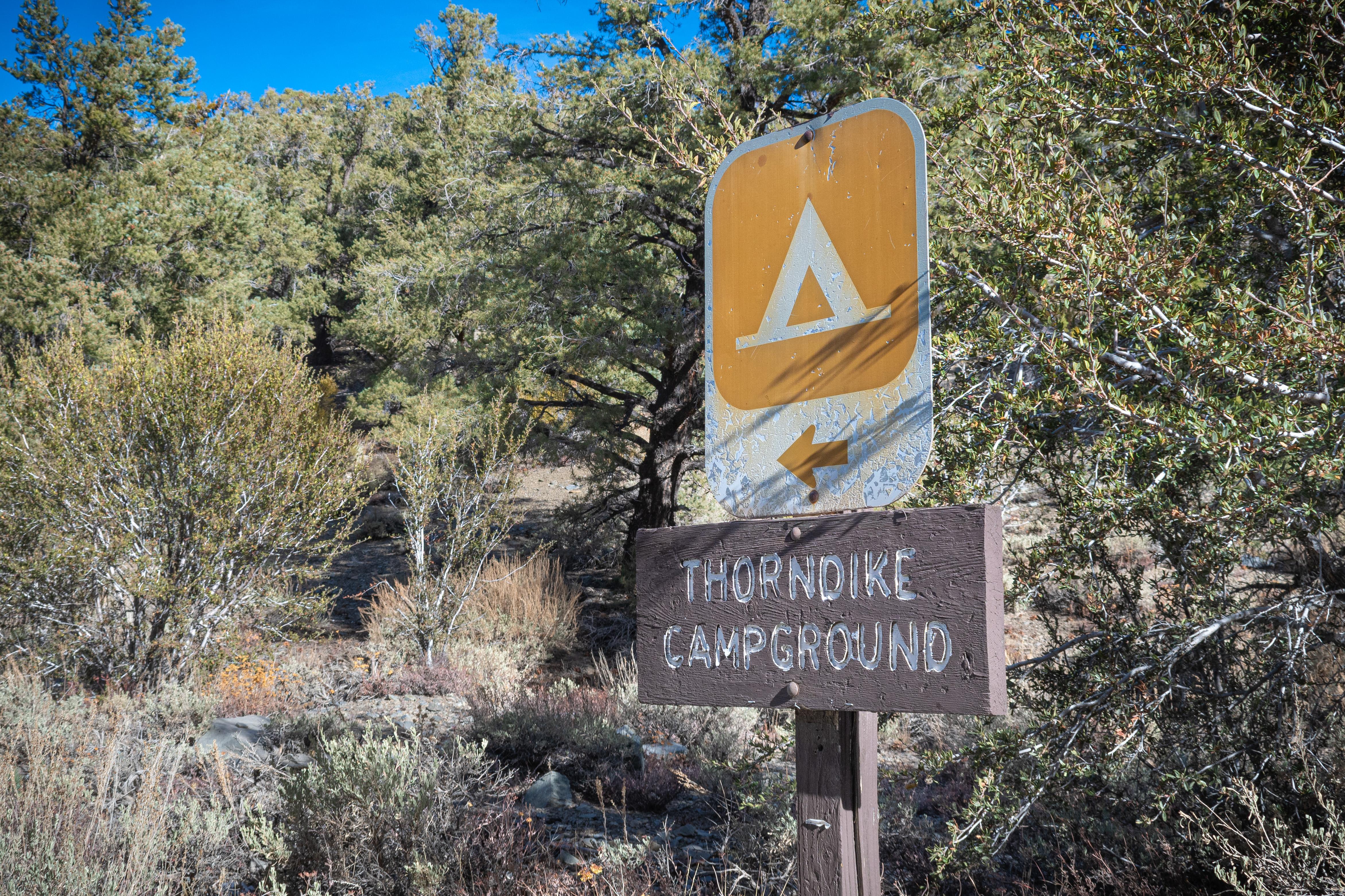 Campground (Free Public)
Thorndike Campground (Primitive)
19.7 mi from Death Valley National Park center
-
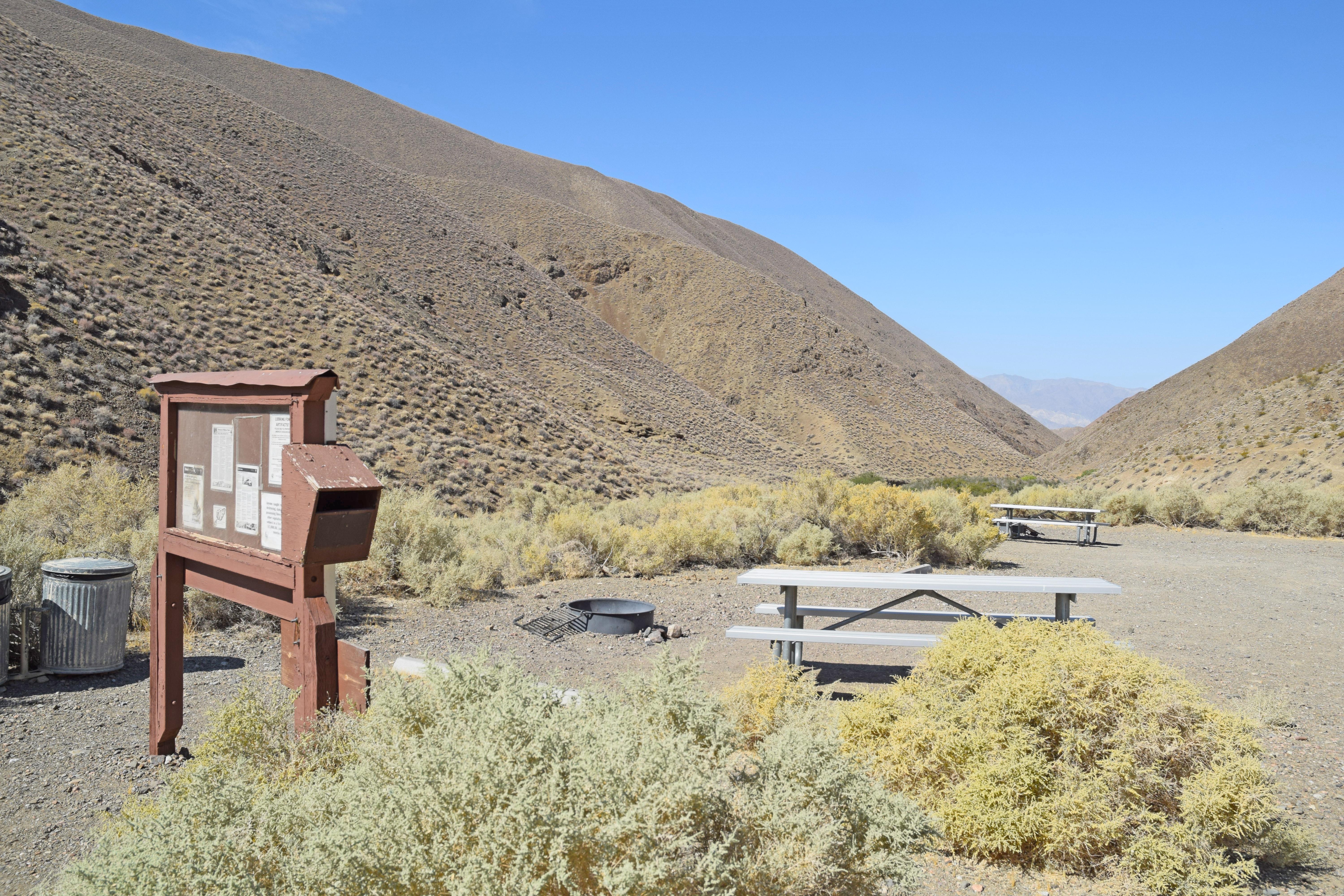 Campground (Free Public)
Wildrose Campground
25.0 mi from Death Valley National Park center
Campgrounds (Paid Public)
See all 3-
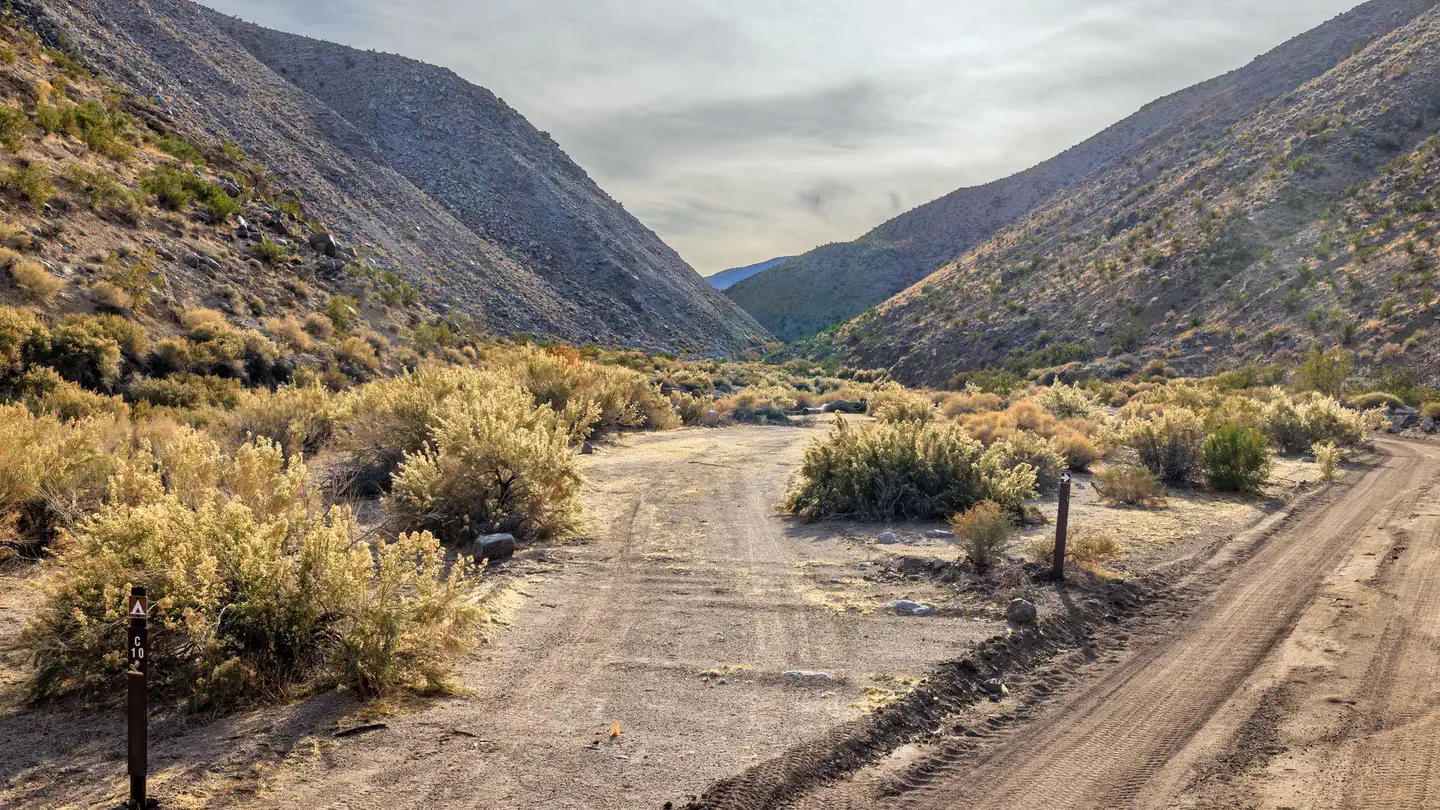 Campground (Paid Public)
Death Valley Backcountry Roadside Camping
8.6 mi from Death Valley National Park center
-
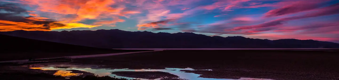 Campground (Paid Public)
Furnace Creek Campground
8.7 mi from Death Valley National Park center
-
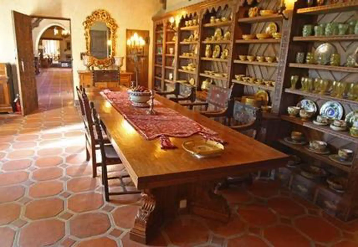 Campground (Paid Public)
Scotty's Castle - Death Valley National Park
55.9 mi from Death Valley National Park center
Tourist Attractions
See all 2
Trailheads
See all 1
Other public lands
Nearest towns
Sources
Place records include Recreation.gov data.