Dry River Canyon Trail
Oregon
Added
June 30th, 2026
Adventurer unlock
Directions, weather, and nearby services help you decide if this stop works tonight.
- Directions in Google, Apple, and Waze
- Weather, cell coverage, and elevation
- Nearby services and recent check-ins

About this place
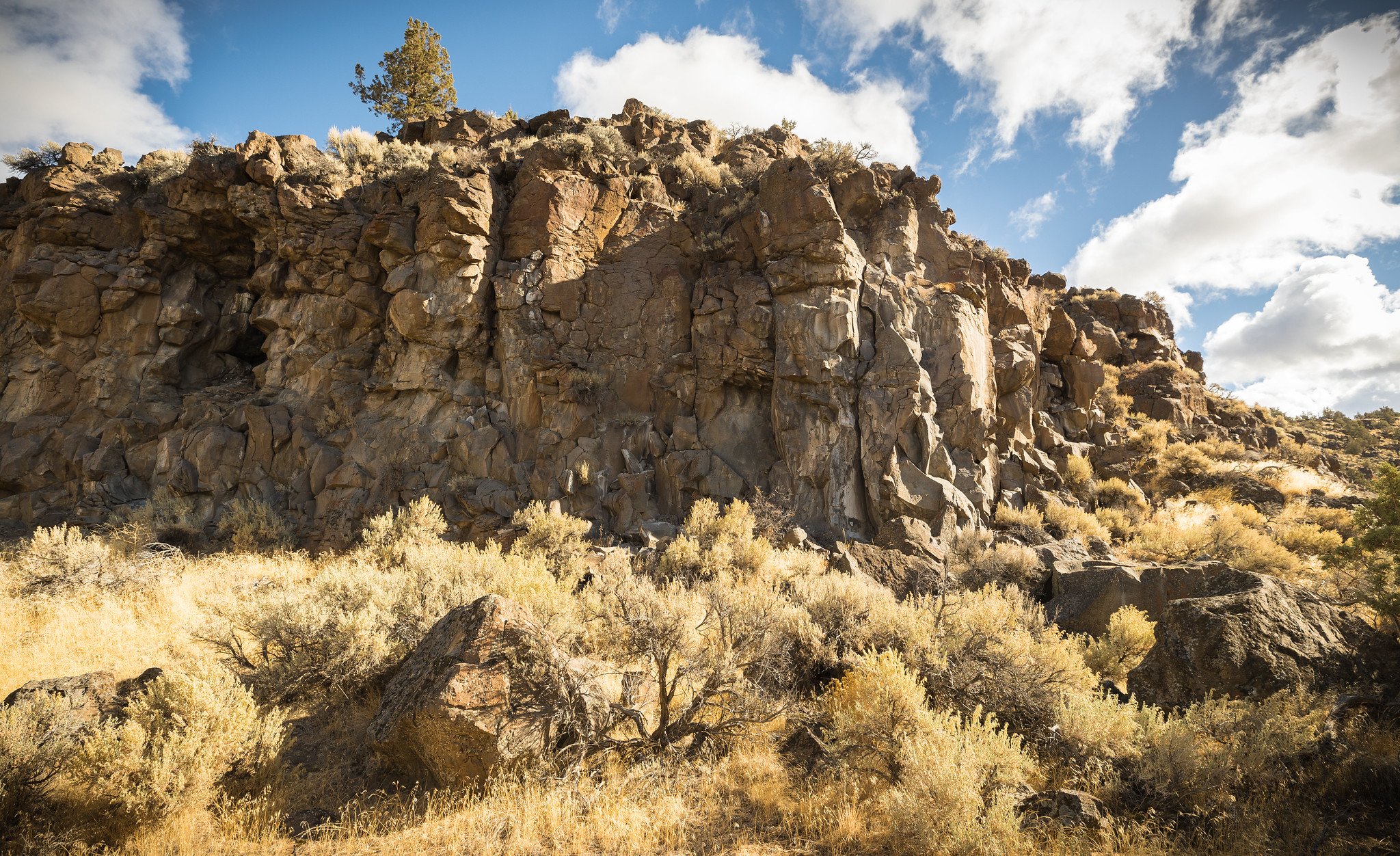
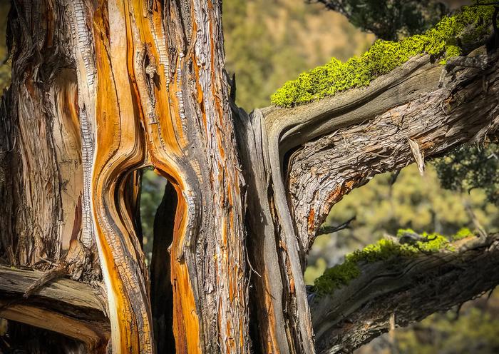
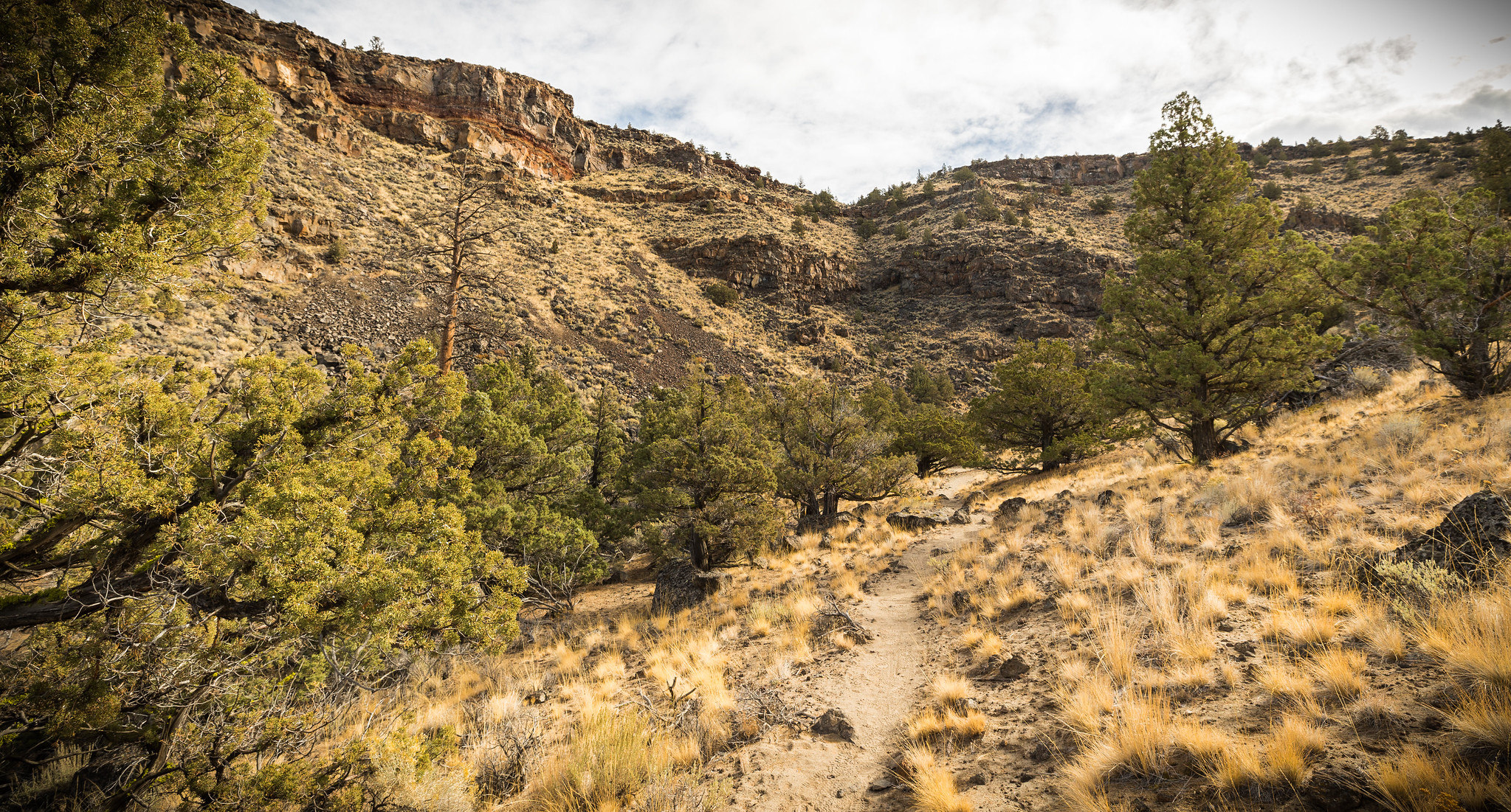
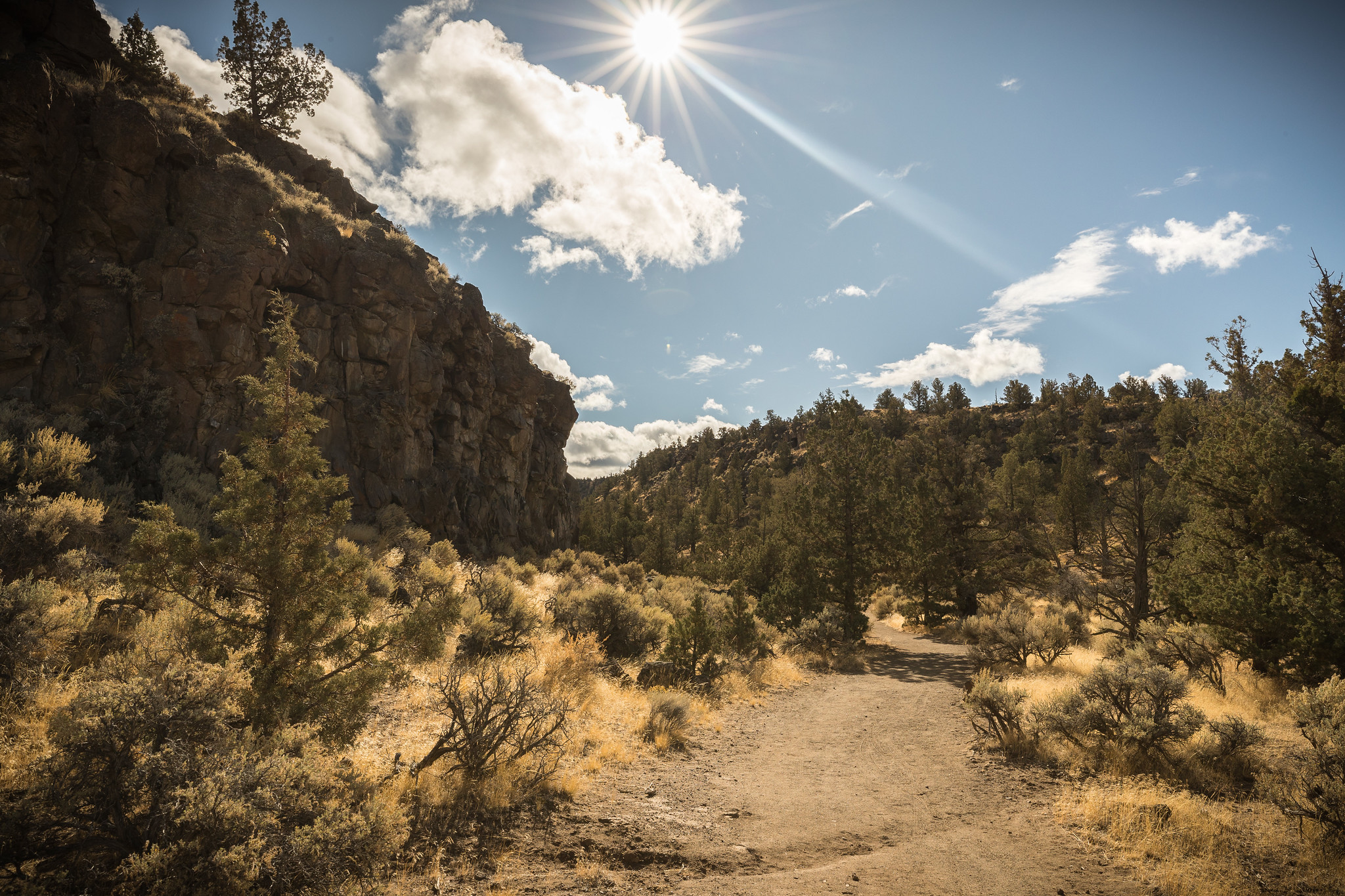
It's a small finger off the east side of the Oregon Badlands Wilderness, a nook that holds a trail that winds in and out of old, twisty juniper, bordered by steep basalt cliffs. A stretch where an ancient river cut into the canyon, once draining the ancient Lake Millican. Rounded boulders, worked by the old river, appear out of place along the now dry trail. Head out for a moderate hike for about 2.3 miles one-way, or add in an additional mile by rock-hopping an unmarked area for about 50 yards, then picking up the trail again for the last 1/2 mile.Know Before You GoOpen seasonally with a wildlife closure to all uses from February 1 through August 31st, unless lifted by BLM staff earlier.This is a primitive, rocky trail and trailhead with no water or restrooms; Practice Leave No Trace and pack out what you pack in.No motorized vehicles are allowed.Dogs are allowed.Horses are allowed, but are not advised; the trail is rocky with low-hanging branchesPoint of InterestLook up from the path of the old river and enjoy the views of exposed layers of lava and cinders from early volcanoes in this 300-foot deep canyon.
Details
GPS 43.93744, -121.01726
Phone
None
Website
None
Nearby places
- Reynolds Pond Recreation Site Dispersed Camping 8.4 mi
- Alfalfa Curves Off Highway Vehicle Staging Area Tourist Attraction 9.6 mi
- Road 25 OHV Staging Area Trailhead 10 mi
- Pine Mountain Campground Campground (Free Public) 11 mi
- Road 25 OHV Staging Area Tourist Attraction 11 mi
- Horse Butte Trailhead Hiking Trail 11 mi
- Horse Butte Trailhead Trailhead 11 mi
- Swamp Wells Horse Camp Campground (Free Public) 12 mi
Check in
Share a visit note and optional photos for other travelers.
Sign in to check in, save this place, or add your own.
Recent check-ins
No check-ins yet for this place.