Ferron Reservoir
Manti-La Sal Forest, Utah
Added
June 30th, 2026
Adventurer unlock
Directions, weather, and nearby services help you decide if this stop works tonight.
- Directions in Google, Apple, and Waze
- Weather, cell coverage, and elevation
- Nearby services and recent check-ins

About this place
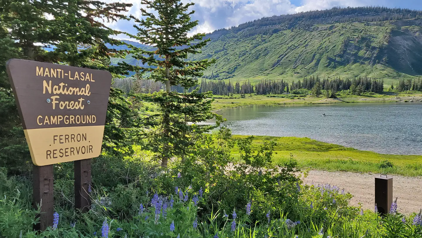
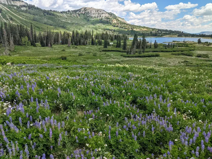
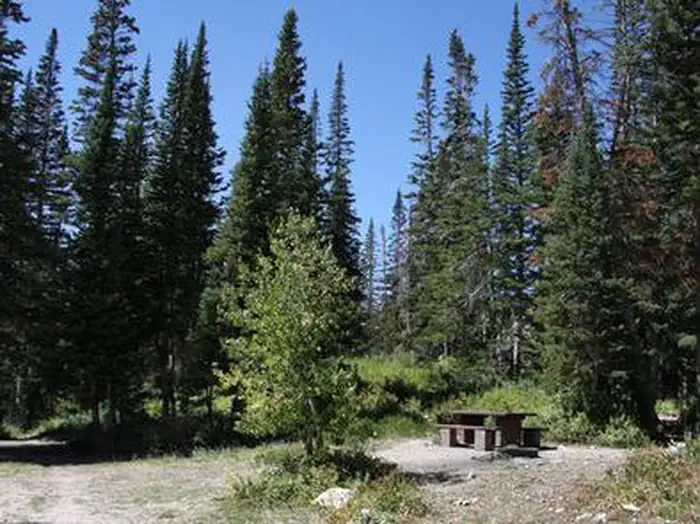
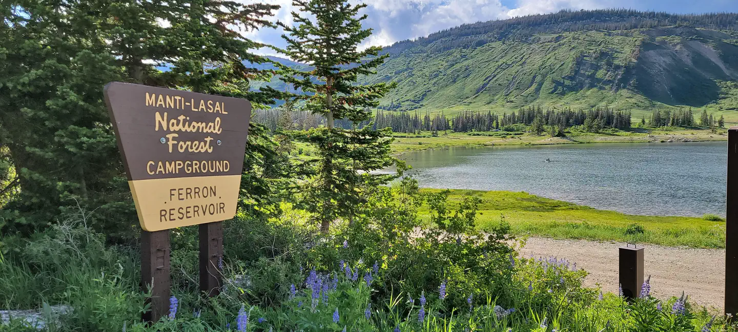
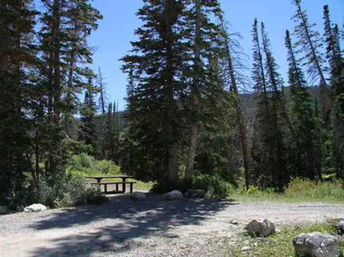
Overview Ferron Campground is located next to Ferron Reservoir, a premier alpine lake that is popular with fishermen. The area offers both developed single campsites and a developed group camp site. It sits just below the ridgeline of the Wasatch Plateau, at an elevation of 9,400 feet. It is located adjacent to the historical Indian Creek Guard Station. Visitors enjoy fishing, canoeing and exploring many local trails. Recreation Ferron Reservoir is adjacent to the campground, providing canoeing, boating (small craft only) and fishing for rainbow and cutthroat trout. Numerous off-road vehicle trails crisscross the area, offering exciting rides for all skill levels. These trails mainly consist of 66-inch and 50-inch OHV routes. Rush Pond and Willow Lake are a short drive east and Duck Fork Reservoir is just to the north, offering additional fishing, canoeing, and OHV opportunities. Facilities The campground contains one group campsite offering lake views, located on the northeast portion of the lake. It can accommodate up to 50 people and eight vehicles. Several single-family sites are also available within the campground, located to the south and west of the lake. Vault toilets and drinking water are provided, but there is no garbage service. Multiple self-pay fee stations are available. Roads and parking spurs are gravel. Natural Features The small reservoir sits in a scenic alpine basin. Spruce, fir and aspen trees dot the landscape, providing partial shade in the campground. Wildlife and summer wildflowers are abundant, and autumn leaves put on quite a show in the surrounding area. Nearby Attractions Skyline Drive runs above the campground, along the top of the Wasatch Plateau for more than 60 miles, rewarding visitors with beautiful mountain scenery, glacial cirques, spruce-fir and aspen forests and numerous lakes and reservoirs. The expansive Arapeen OHV Trail System can be accessed nearby and has more than 350 miles of designated, maintained trails suitable for all riding levels.
Details
GPS 39.14556, -111.45528
Phone
None
Website
None
Nearby places
- Ferron Reservoir Campground Ferron North Campground (Paid Public) 0.1 mi
- Indian Creek Guard Station Campground (Paid Public) 0.4 mi
- Duck Fork Fishing Site Fishing Access 1.8 mi
- Twelve Mile Flat Campground (Paid Public) 2.3 mi
- Willow Lake Campground (Paid Public) 4.1 mi
- Pinchot Upper Trailhead Trailhead 4.5 mi
- Upper Six Mile Ponds Fishing Access 5.4 mi
- Spring Hill Dispersed Camping 6.0 mi
Check in
Share a visit note and optional photos for other travelers.
Sign in to check in, save this place, or add your own.
Recent check-ins
No check-ins yet for this place.