Public land
Ouachita National Forest
Ouachita National Forest is a national forest in Arkansas and Oklahoma. It covers 1,430,700 acres. USFS manages it. Landgogh lists 50 places here: 28 trailheads, 8 campgrounds (paid public), 6 points of interest, and 8 other places. Nearest towns: Mena, Glenwood, and Hot Springs.
50 places
Trailheads
See all 28-
Trailhead Big Brushy 69.4 mi from Ouachita National Forest center
-
Trailhead Buckeye Trailhead 46.6 mi from Ouachita National Forest center
-
Trailhead Buffalo Gap Trailhead 101.6 mi from Ouachita National Forest center
-
Trailhead Danville Mountain Trailhead 103.8 mi from Ouachita National Forest center
-
Trailhead East Caney Creek Trailhead 46.1 mi from Ouachita National Forest center
-
Trailhead Foster Fields Trailhead 88.5 mi from Ouachita National Forest center
-
Trailhead Fourche Mountain Trailhead 66.1 mi from Ouachita National Forest center
-
Trailhead Hwy 9 Trailhead 119.8 mi from Ouachita National Forest center
-
Trailhead Jessie-hwy 27 Trailhead 84.5 mi from Ouachita National Forest center
-
Trailhead Jessie-Hwy 298 Trailhead 87.6 mi from Ouachita National Forest center
-
Trailhead Lake Sylvia 118.0 mi from Ouachita National Forest center
-
Trailhead Little Blakely Trailhead 90.9 mi from Ouachita National Forest center
Campgrounds (Paid Public)
See all 8-
Campground (Paid Public) Bard Springs 46.3 mi from Ouachita National Forest center
-
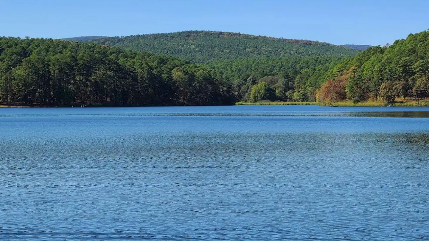 Campground (Paid Public)
Cedar Lake (Oklahoma)
64.2 mi from Ouachita National Forest center
-
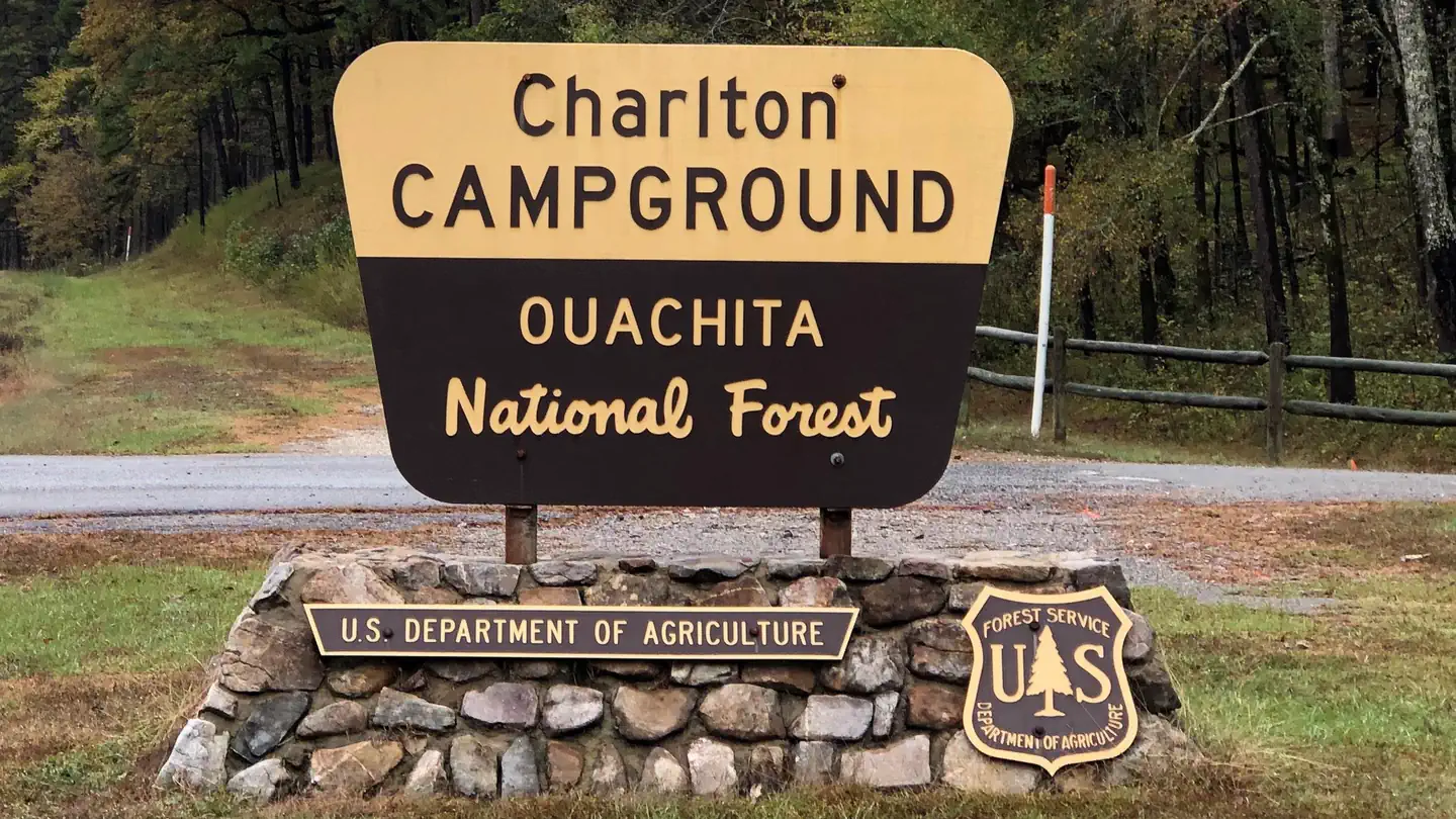 Campground (Paid Public)
Charlton Recreation Area
78.0 mi from Ouachita National Forest center
-
Campground (Paid Public) Lake Sylvia 117.9 mi from Ouachita National Forest center
-
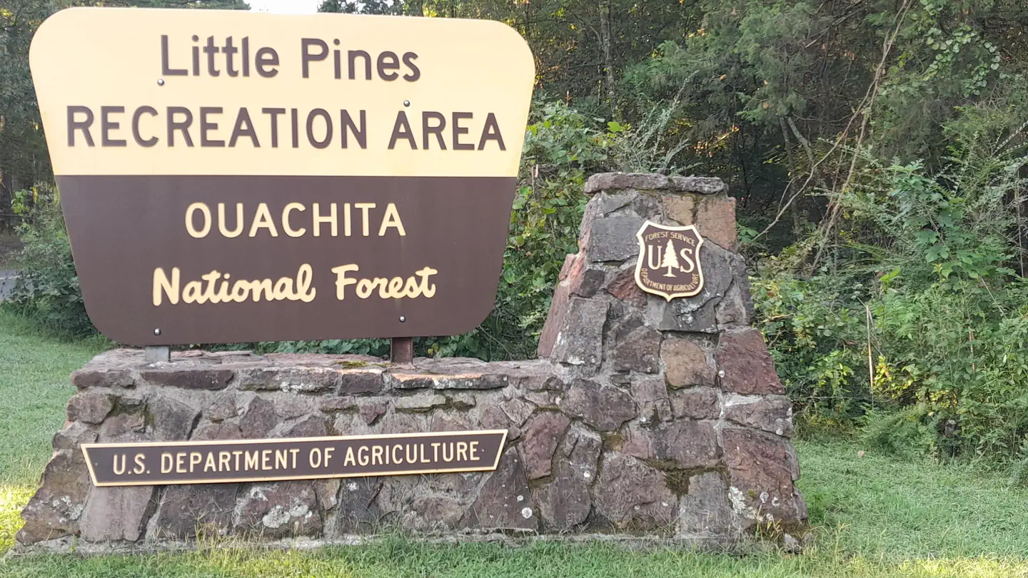 Campground (Paid Public)
Little Pines Campground
71.8 mi from Ouachita National Forest center
-
Campground (Paid Public) Shady Lake Campground 44.2 mi from Ouachita National Forest center
-
Campground (Paid Public) South Fourche 105.4 mi from Ouachita National Forest center
-
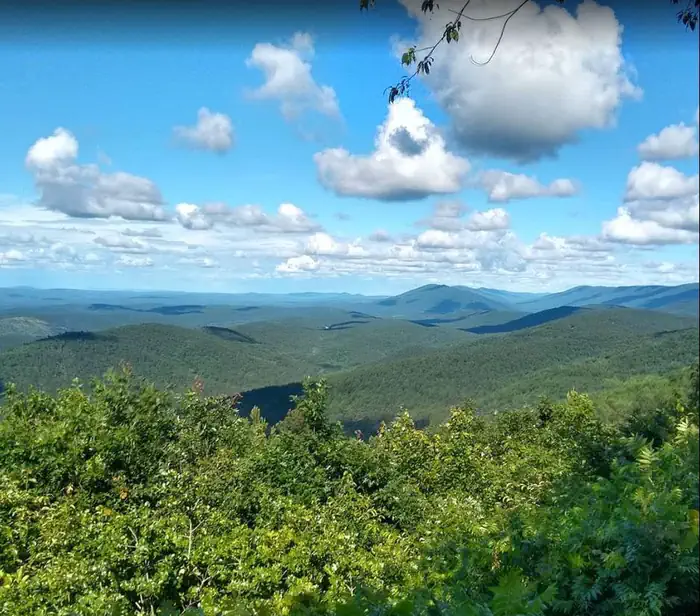 Campground (Paid Public)
Winding Stair Campground (OK)
61.0 mi from Ouachita National Forest center
Points of interest
6-
Point of interest Caddo/Womble Ranger District 69.0 mi from Ouachita National Forest center
-
Point of interest Hickory Nut Mountain Picnic Area 78.2 mi from Ouachita National Forest center
-
Point of interest Jessieville Winona Fourche Ranger District 100.5 mi from Ouachita National Forest center
-
Point of interest Mena/Oden Ranger District 53.3 mi from Ouachita National Forest center
-
Point of interest Oklahoma Ranger District 64.1 mi from Ouachita National Forest center
-
Point of interest Poteau/Cold Springs Ranger District 75.0 mi from Ouachita National Forest center
Campgrounds (Free Public)
See all 5-
Campground (Free Public) Acorn Shooting Range 58.1 mi from Ouachita National Forest center
-
Campground (Free Public) Bear Creek Equestrian Camp 99.4 mi from Ouachita National Forest center
-
Campground (Free Public) Crystal Campground 65.0 mi from Ouachita National Forest center
-
Campground (Free Public) Jack Creek Campground 89.6 mi from Ouachita National Forest center
-
Campground (Free Public) Lake Ouachita Vista Overlook 78.9 mi from Ouachita National Forest center
Hiking Trails
See all 3Other public lands
Nearest towns
Sources
Place records include Recreation.gov data.