Public land
Greers Ferry Lake
Greers Ferry Lake is a recreation area in Arkansas. USACE manages it. Landgogh lists 17 places here: 9 campgrounds (paid public), 4 campgrounds (free public), 2 points of interest, and 2 other places. Nearest towns: Heber Springs, Fairfield Bay, and Clinton.
17 places
Campgrounds (Paid Public)
See all 9-
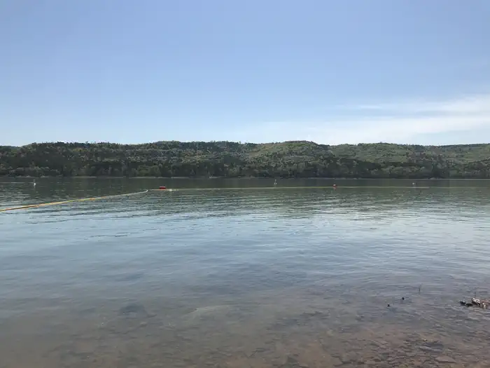 Campground (Paid Public)
Choctaw
21.5 mi from Greers Ferry Lake center
-
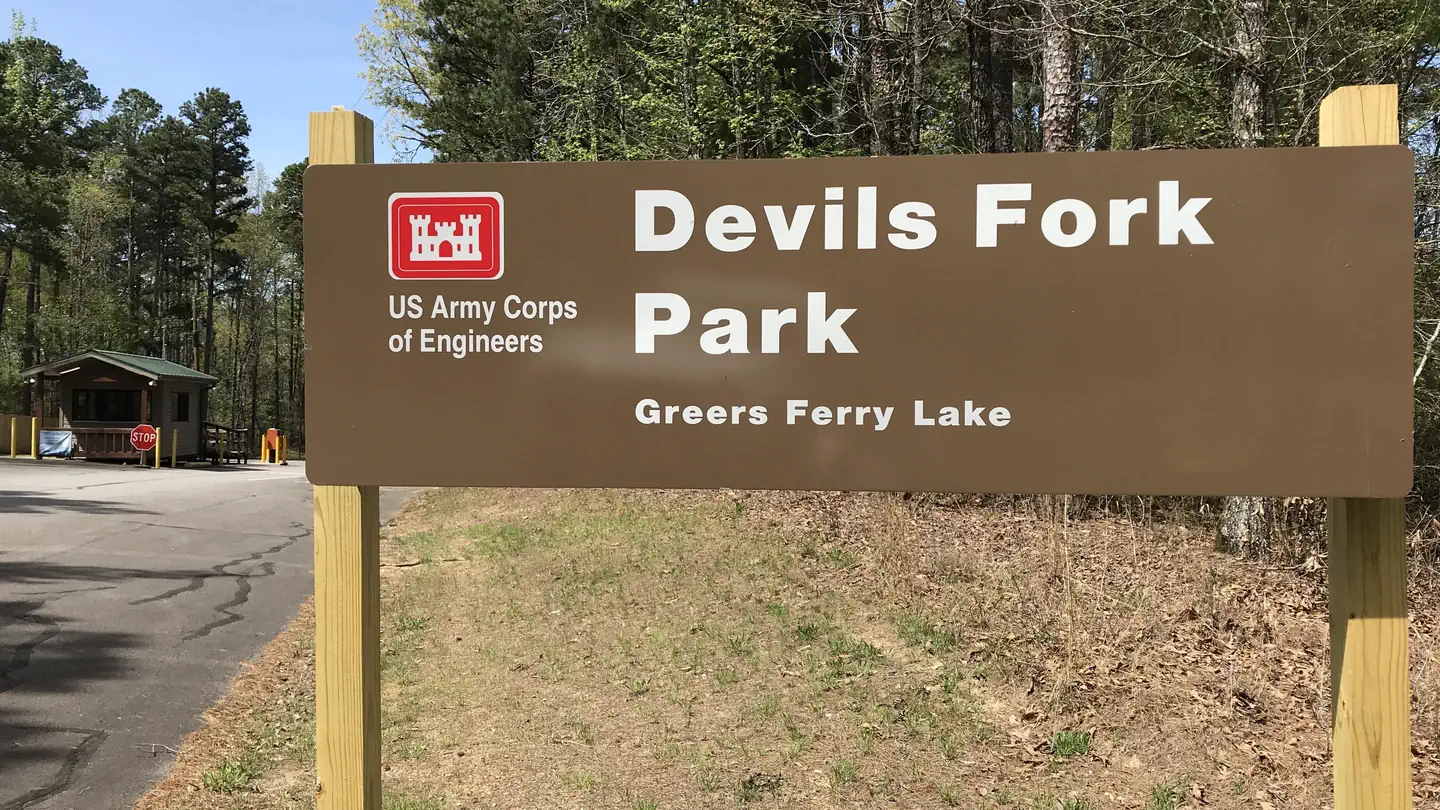 Campground (Paid Public)
Devils Fork
11.4 mi from Greers Ferry Lake center
-
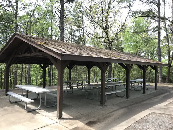 Campground (Paid Public)
Heber Springs
4.1 mi from Greers Ferry Lake center
-
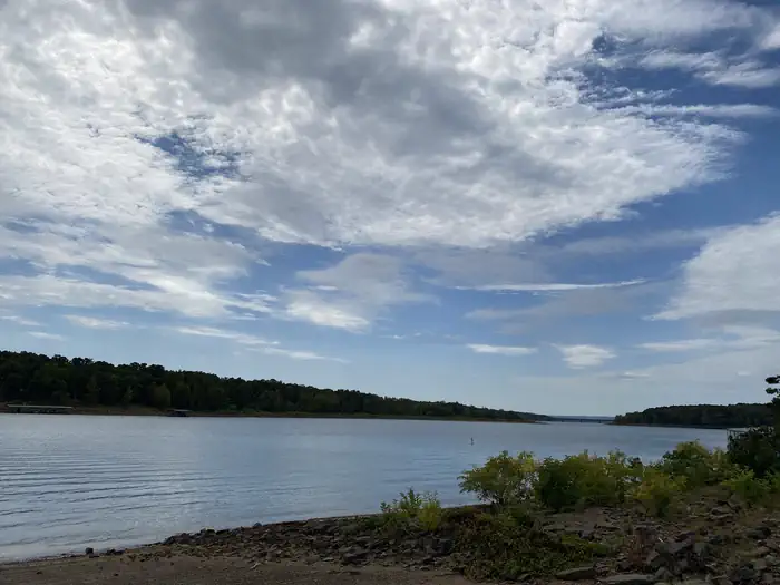 Campground (Paid Public)
Hill Creek
10.4 mi from Greers Ferry Lake center
-
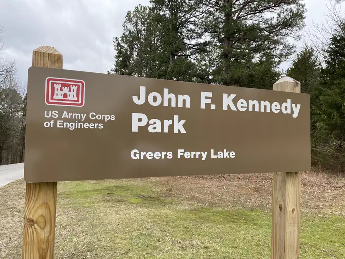 Campground (Paid Public)
John F Kennedy
0.6 mi from Greers Ferry Lake center
-
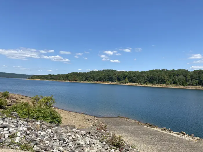 Campground (Paid Public)
Narrows (Ar)
11.6 mi from Greers Ferry Lake center
-
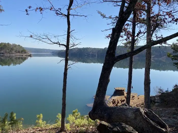 Campground (Paid Public)
Old Highway 25
1.5 mi from Greers Ferry Lake center
-
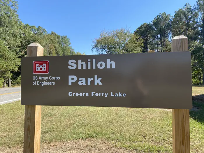 Campground (Paid Public)
Shiloh
8.3 mi from Greers Ferry Lake center
-
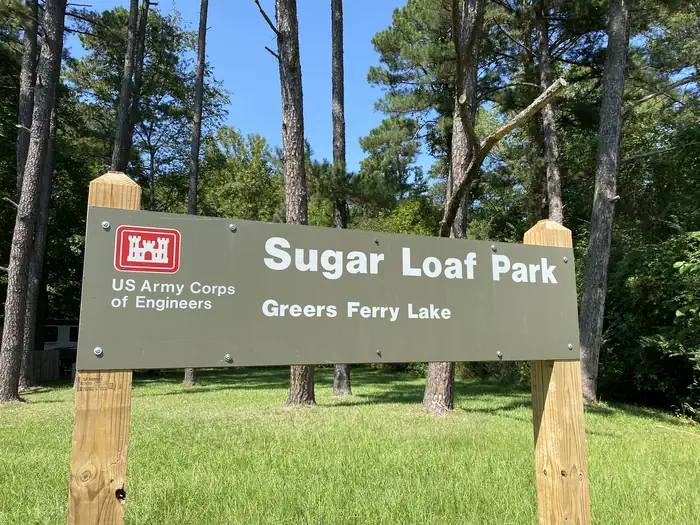 Campground (Paid Public)
Sugar Loaf
15.5 mi from Greers Ferry Lake center
Campgrounds (Free Public)
See all 4-
Campground (Free Public) Cherokee 4.8 mi from Greers Ferry Lake center
-
Campground (Free Public) Cove Creek 9.6 mi from Greers Ferry Lake center
-
Campground (Free Public) Dam Site Campground 0.3 mi from Greers Ferry Lake center
-
Campground (Free Public) Van Buren Park 17.0 mi from Greers Ferry Lake center
Points of interest
2
Boat Ramps
1Tourist Attractions
See all 1Other public lands
Nearest towns
Sources
Place records include Recreation.gov data.