Public land
Fort Gibson Lake
Fort Gibson Lake is a recreation area in Oklahoma. USACE manages it. Landgogh lists 24 places here: 13 campgrounds (paid public), 7 campgrounds (free public), 3 boat ramps, and 1 other place. Nearest towns: Wagoner, Fort Gibson, and Chouteau.
24 places
Campgrounds (Paid Public)
See all 13-
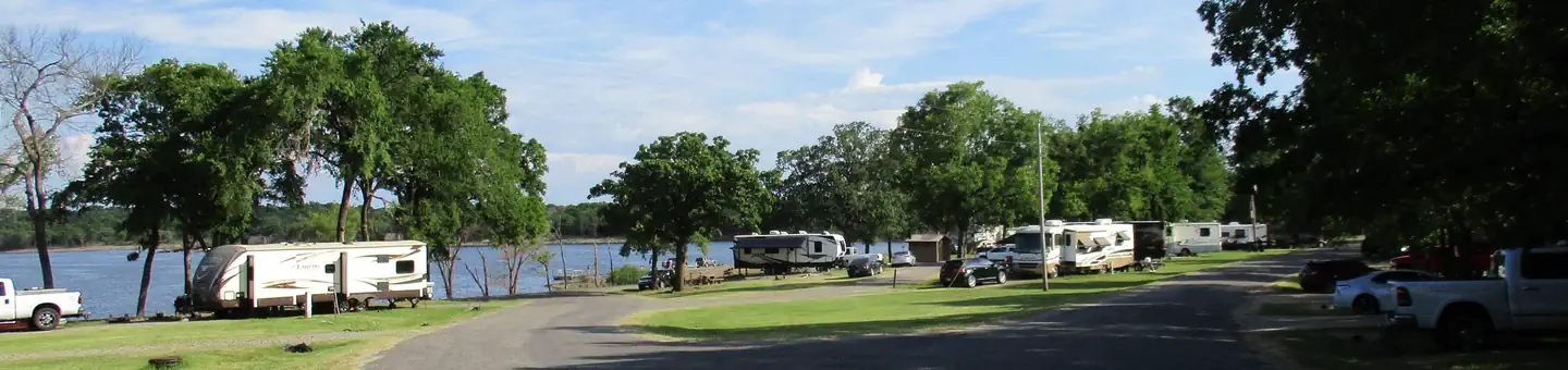 Campground (Paid Public)
Blue Bill Point
5.4 mi from Fort Gibson Lake center
-
Campground (Paid Public) Blue Bill Point Boat Ramp 5.2 mi from Fort Gibson Lake center
-
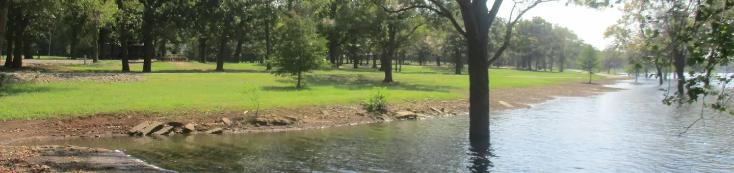 Campground (Paid Public)
Flat Rock Creek
5.3 mi from Fort Gibson Lake center
-
Campground (Paid Public) Flat Rock Creek Boat Ramp 5.2 mi from Fort Gibson Lake center
-
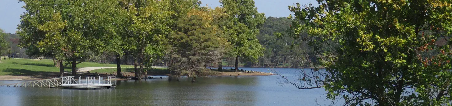 Campground (Paid Public)
Rocky Point (Ft Gibson)
5.0 mi from Fort Gibson Lake center
-
Campground (Paid Public) Rocky Point Boat Ramp 4.4 mi from Fort Gibson Lake center
-
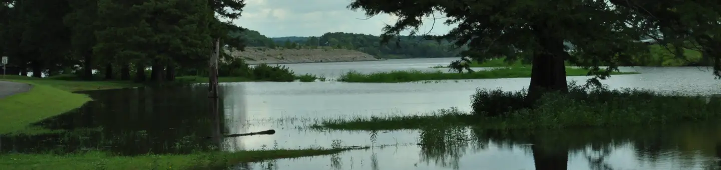 Campground (Paid Public)
Taylor Ferry
2.8 mi from Fort Gibson Lake center
-
Campground (Paid Public) Taylor Ferry Beach 2.6 mi from Fort Gibson Lake center
-
Campground (Paid Public) Taylor Ferry North Boat Ramp 2.2 mi from Fort Gibson Lake center
-
Campground (Paid Public) Toppers Boat Ramp 1.1 mi from Fort Gibson Lake center
-
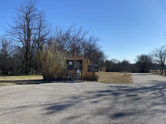 Campground (Paid Public)
Wahoo Bay
6.2 mi from Fort Gibson Lake center
-
Campground (Paid Public) Wahoo Bay Boat Ramp 6.2 mi from Fort Gibson Lake center
Campgrounds (Free Public)
See all 7-
Campground (Free Public) Jackson Bay Marina 4.9 mi from Fort Gibson Lake center
-
Campground (Free Public) Long Bay Landing 2.0 mi from Fort Gibson Lake center
-
Campground (Free Public) Pryor Creek Concession 13.9 mi from Fort Gibson Lake center
-
Campground (Free Public) Sequoyah Bay 6.3 mi from Fort Gibson Lake center
-
Campground (Free Public) Sequoyah State Park 4.1 mi from Fort Gibson Lake center
-
Campground (Free Public) Taylor Ferry Marina 2.5 mi from Fort Gibson Lake center
-
Campground (Free Public) Whitehorn Cove 2.5 mi from Fort Gibson Lake center
Boat Ramps
3Points of interest
1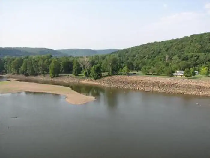
Other public lands
Nearest towns
Sources
Place records include Recreation.gov data.