Public land
Dixie National Forest
Dixie National Forest is a national forest in Utah. It covers 1,632,893 acres. USFS manages it. Landgogh lists 150 places here: 86 trailheads, 22 campgrounds (paid public), 15 fishing accesses, and 27 other places. Nearest towns: Parowan, Beaver, and Cedar City.
150 places
Trailheads
See all 86-
Trailhead Aspen Mirror Lake Trailhead 27.1 mi from Dixie National Forest center
-
Trailhead Bear Flat/ Marathon Trailhead 23.7 mi from Dixie National Forest center
-
Trailhead Blake/Gubler Trailhead 76.4 mi from Dixie National Forest center
-
Trailhead Blowhard Trailhead 35.2 mi from Dixie National Forest center
-
Trailhead Blowhard/Moots Hollow Trailhead 35.2 mi from Dixie National Forest center
-
Trailhead Boulder Swale Atv Trailhead 43.7 mi from Dixie National Forest center
-
Trailhead Brian Head Peak Trailhead 32.2 mi from Dixie National Forest center
-
Trailhead Bristlecone Pine Trailhead 35.0 mi from Dixie National Forest center
-
Trailhead Browns Point Trailhead 71.6 mi from Dixie National Forest center
-
Trailhead Browse Trailhead 65.3 mi from Dixie National Forest center
-
Trailhead Bunker Creek Trailhead 29.8 mi from Dixie National Forest center
-
Trailhead Burnt Hollow Trailhead 26.4 mi from Dixie National Forest center
Campgrounds (Paid Public)
See all 22-
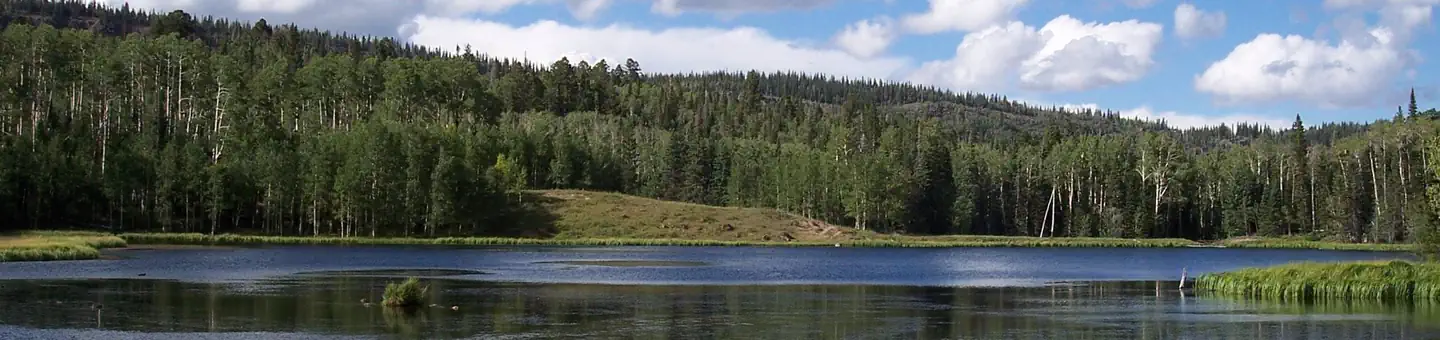 Campground (Paid Public)
Barker Recreation Area
27.4 mi from Dixie National Forest center
-
Campground (Paid Public) Blue Spruce Campground 36.9 mi from Dixie National Forest center
-
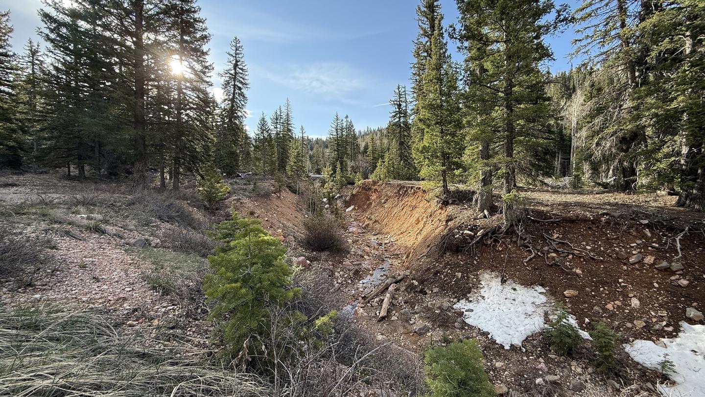 Campground (Paid Public)
Cedar Canyon
37.5 mi from Dixie National Forest center
-
Campground (Paid Public) Coyote Hollow Equestrian Campground 2.5 mi from Dixie National Forest center
-
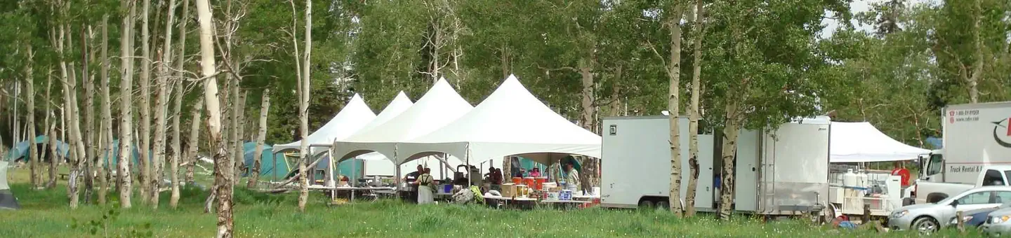 Campground (Paid Public)
Deer Haven
38.1 mi from Dixie National Forest center
-
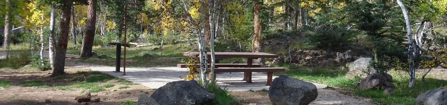 Campground (Paid Public)
Duck Creek
27.7 mi from Dixie National Forest center
-
Campground (Paid Public) Duck Creek Campground 28.5 mi from Dixie National Forest center
-
Campground (Paid Public) Honeycomb Rocks Campground 90.0 mi from Dixie National Forest center
-
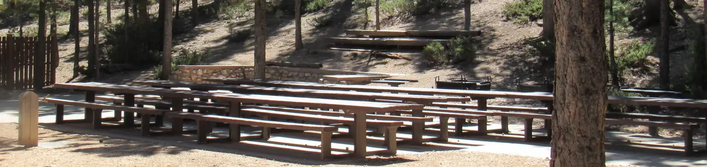 Campground (Paid Public)
Kings Creek
6.1 mi from Dixie National Forest center
-
Campground (Paid Public) Lower Pleasant Creek Campground 56.3 mi from Dixie National Forest center
-
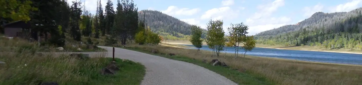 Campground (Paid Public)
Navajo Lake Campground
32.9 mi from Dixie National Forest center
-
Campground (Paid Public) Oak Grove Campground 71.5 mi from Dixie National Forest center
Fishing Accesses
See all 15-
Fishing Access Blue Lake 27.6 mi from Dixie National Forest center
-
Fishing Access Chriss Lake 50.5 mi from Dixie National Forest center
-
Fishing Access Deer Creek Lake 51.9 mi from Dixie National Forest center
-
Fishing Access Dougherty Basin 26.5 mi from Dixie National Forest center
-
Fishing Access Flat Lake 27.3 mi from Dixie National Forest center
-
Fishing Access Green Lake 52.0 mi from Dixie National Forest center
-
Fishing Access Joe Lay Reservoir 27.6 mi from Dixie National Forest center
-
Fishing Access Long Willow Bottom 25.6 mi from Dixie National Forest center
-
Fishing Access Lower Barker Reservoir 27.2 mi from Dixie National Forest center
-
Fishing Access Navajo Lake 33.9 mi from Dixie National Forest center
-
Fishing Access Pine Valley Reservoir 71.6 mi from Dixie National Forest center
-
Fishing Access Red Creek Reservoir 27.2 mi from Dixie National Forest center
Campgrounds (Free Public)
See all 8-
Campground (Free Public) Brian Head Peak Observation 32.8 mi from Dixie National Forest center
-
Campground (Free Public) Courtney Amphitheater 71.8 mi from Dixie National Forest center
-
Campground (Free Public) Coyote Hollow Loop 2.7 mi from Dixie National Forest center
-
Campground (Free Public) Lava Flat Designated Dispersed Camping Area 25.1 mi from Dixie National Forest center
-
Campground (Free Public) Red Canyon Recreation Area 5.4 mi from Dixie National Forest center
-
Campground (Free Public) Strawberry Point Overlook 31.4 mi from Dixie National Forest center
-
Campground (Free Public) Upper Pleasant Creek Campground 56.1 mi from Dixie National Forest center
-
Campground (Free Public) Yankee Designated Dispersed Camping Area 28.8 mi from Dixie National Forest center
Points of interest
8-
Point of interest Cedar City Ranger District 26.4 mi from Dixie National Forest center
-
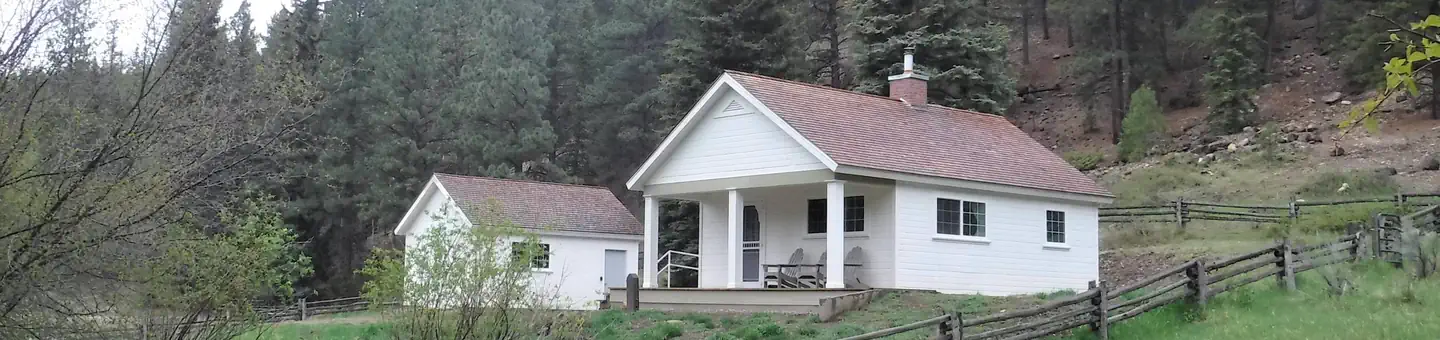 Point of interest
Cowpuncher Guard Station
37.5 mi from Dixie National Forest center
-
Point of interest Escalante Ranger District 31.4 mi from Dixie National Forest center
-
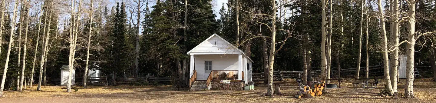 Point of interest
Jones Corral Guard Station
26.1 mi from Dixie National Forest center
-
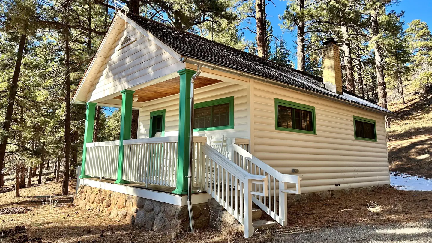 Point of interest
Pine Valley Guard Station
71.4 mi from Dixie National Forest center
-
Point of interest Pine Valley Ranger District 74.1 mi from Dixie National Forest center
-
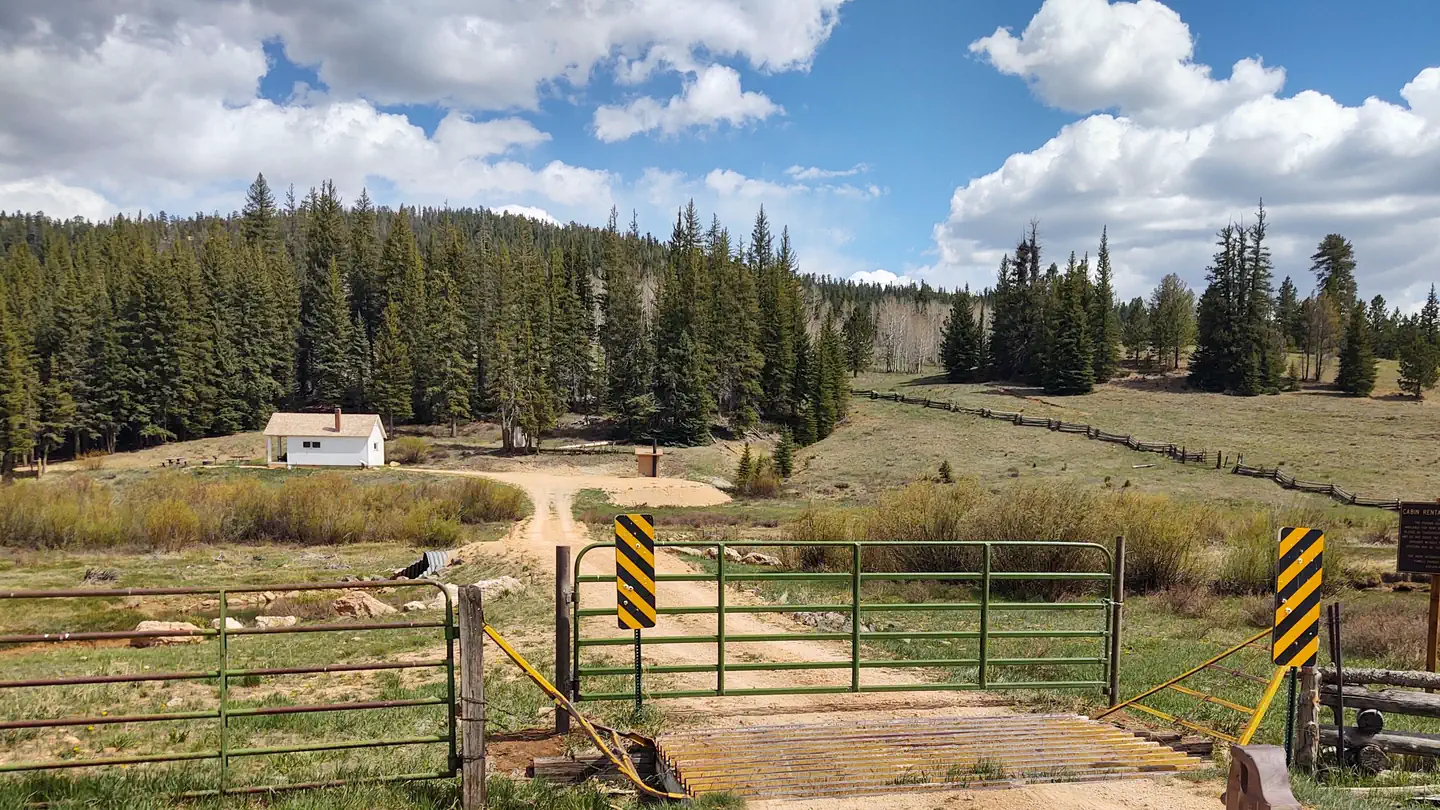 Point of interest
Podunk Guard Station
14.9 mi from Dixie National Forest center
-
Point of interest Powell Ranger District 3.8 mi from Dixie National Forest center
Dispersed Campings
See all 6-
Dispersed Camping Antimony Creek Camping Area 32.3 mi from Dixie National Forest center
-
Dispersed Camping East Fork Designated Dispersed 6.4 mi from Dixie National Forest center
-
Dispersed Camping Enterprise Designated Dispersed Camp Area 90.4 mi from Dixie National Forest center
-
Dispersed Camping Leeds Designated Dispersed 69.9 mi from Dixie National Forest center
-
Dispersed Camping Mammoth Creek Designated Dispersed 24.5 mi from Dixie National Forest center
-
Dispersed Camping Uinta Flat Designated Dispersed 24.8 mi from Dixie National Forest center
Boat Ramps
See all 2Hiking Trails
See all 2Tourist Attractions
See all 1Other public lands
Nearest towns
Sources
Place records include Recreation.gov data.