Public land
Chattahoochee-Oconee National Forest
Chattahoochee-Oconee National Forest is a national forest in Georgia. FS manages it. Landgogh lists 76 places here: 36 campgrounds (paid public), 13 hiking trails, 11 points of interest, and 16 other places. Nearest towns: Chatsworth, Dahlonega, and Clayton.
76 places
Campgrounds (Paid Public)
See all 36-
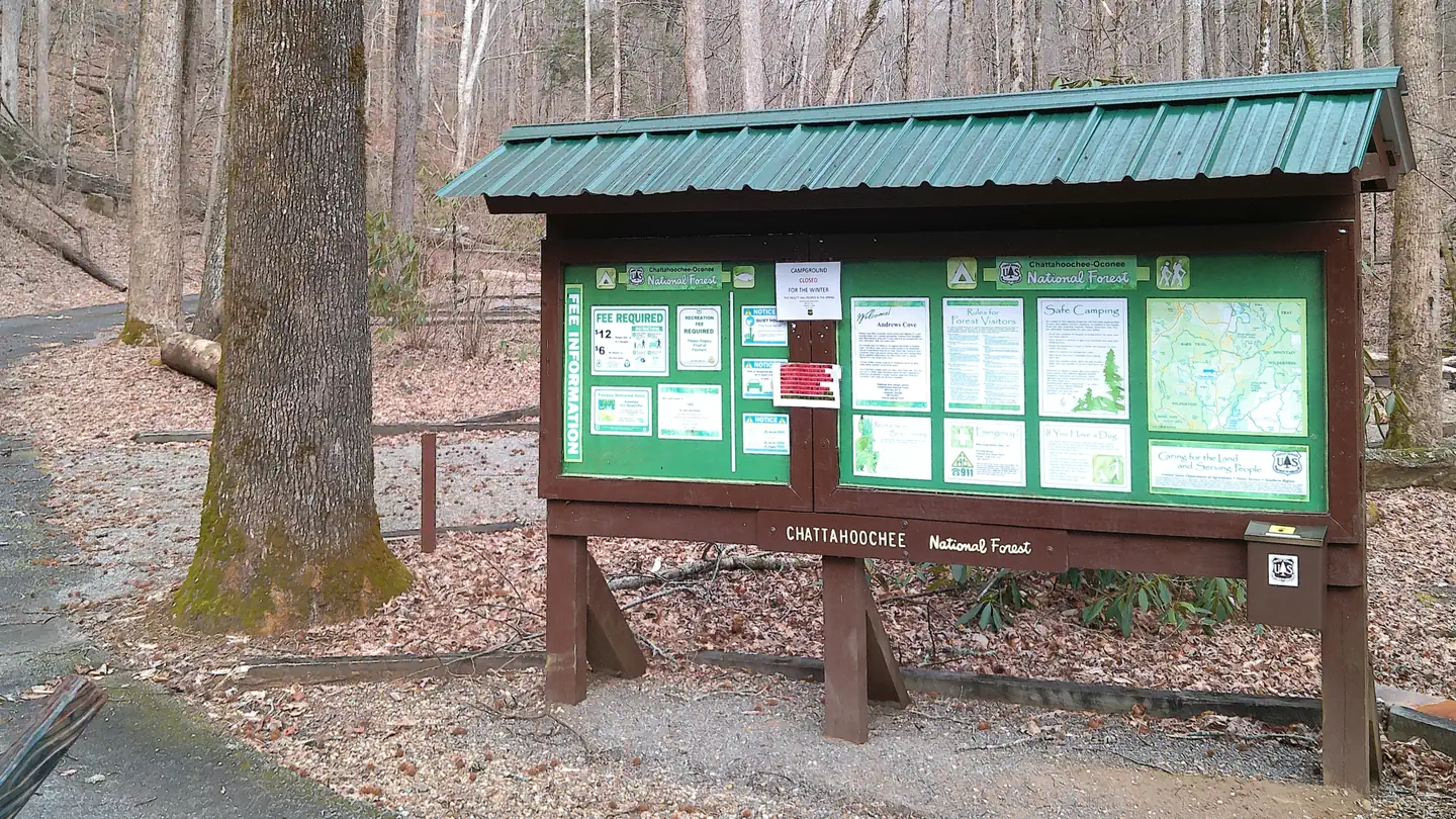 Campground (Paid Public)
Andrew's Cove Campground
53.0 mi from Chattahoochee-Oconee National Forest center
-
Campground (Paid Public) Beasley Knob OHV 61.2 mi from Chattahoochee-Oconee National Forest center
-
Campground (Paid Public) Chestnut Mountain Shooting Range 81.9 mi from Chattahoochee-Oconee National Forest center
-
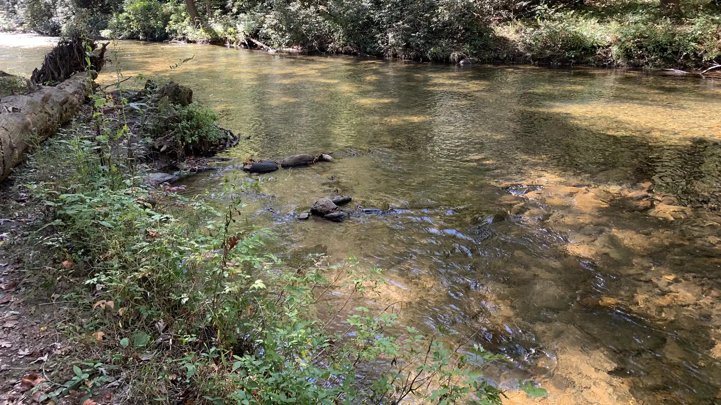 Campground (Paid Public)
Cooper Creek Campground (GA)
53.7 mi from Chattahoochee-Oconee National Forest center
-
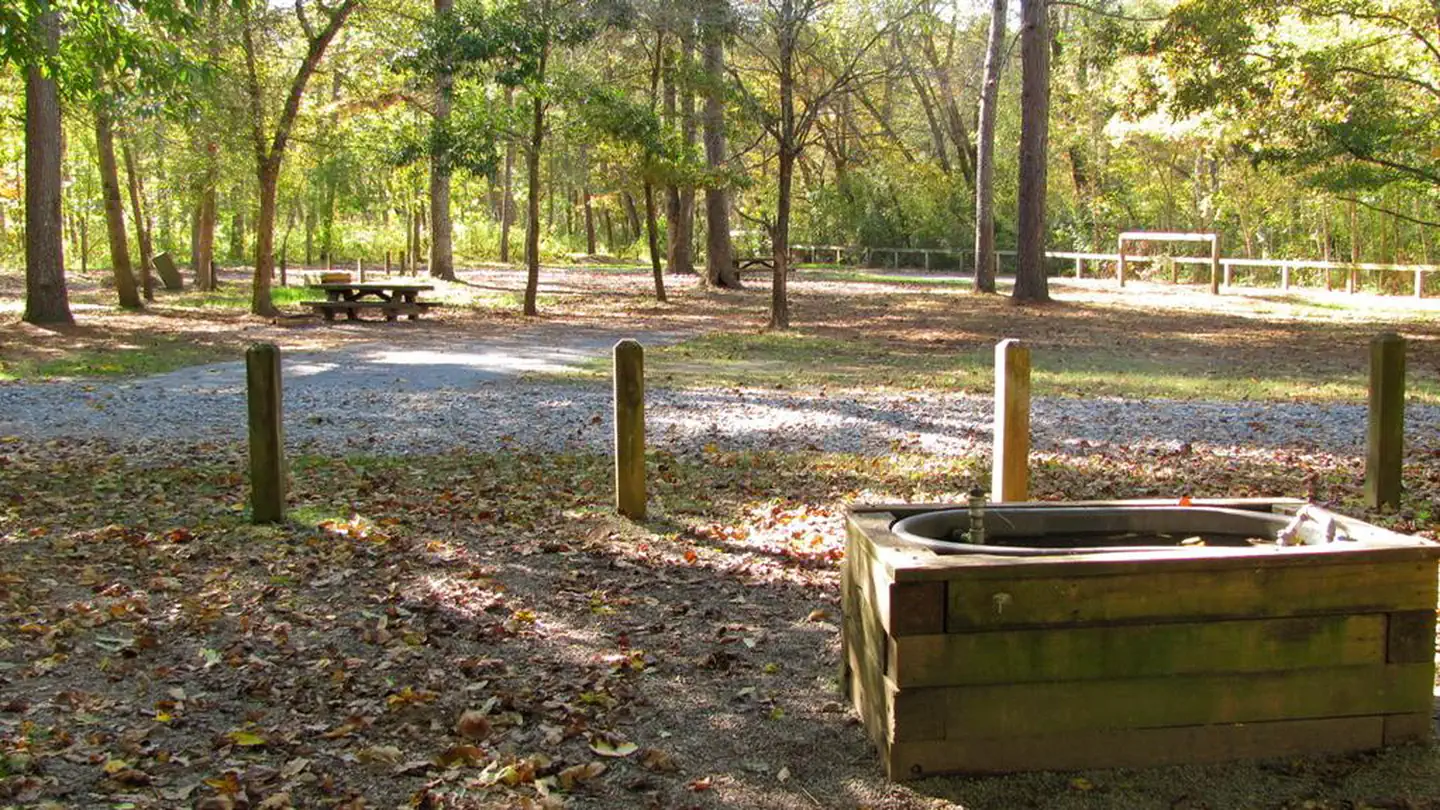 Campground (Paid Public)
Cottonwood Patch Campground
81.7 mi from Chattahoochee-Oconee National Forest center
-
Campground (Paid Public) Davenport OHV 64.8 mi from Chattahoochee-Oconee National Forest center
-
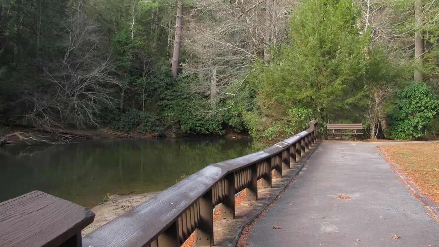 Campground (Paid Public)
Deep Hole Recreation Area
53.5 mi from Chattahoochee-Oconee National Forest center
-
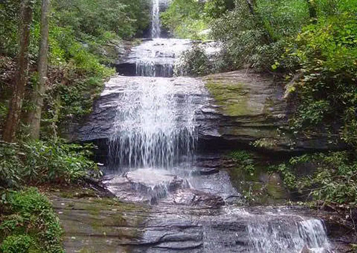 Campground (Paid Public)
Desoto Falls Recreation Area
48.1 mi from Chattahoochee-Oconee National Forest center
-
Campground (Paid Public) Dyar Pasture Recreation Area 39.2 mi from Chattahoochee-Oconee National Forest center
-
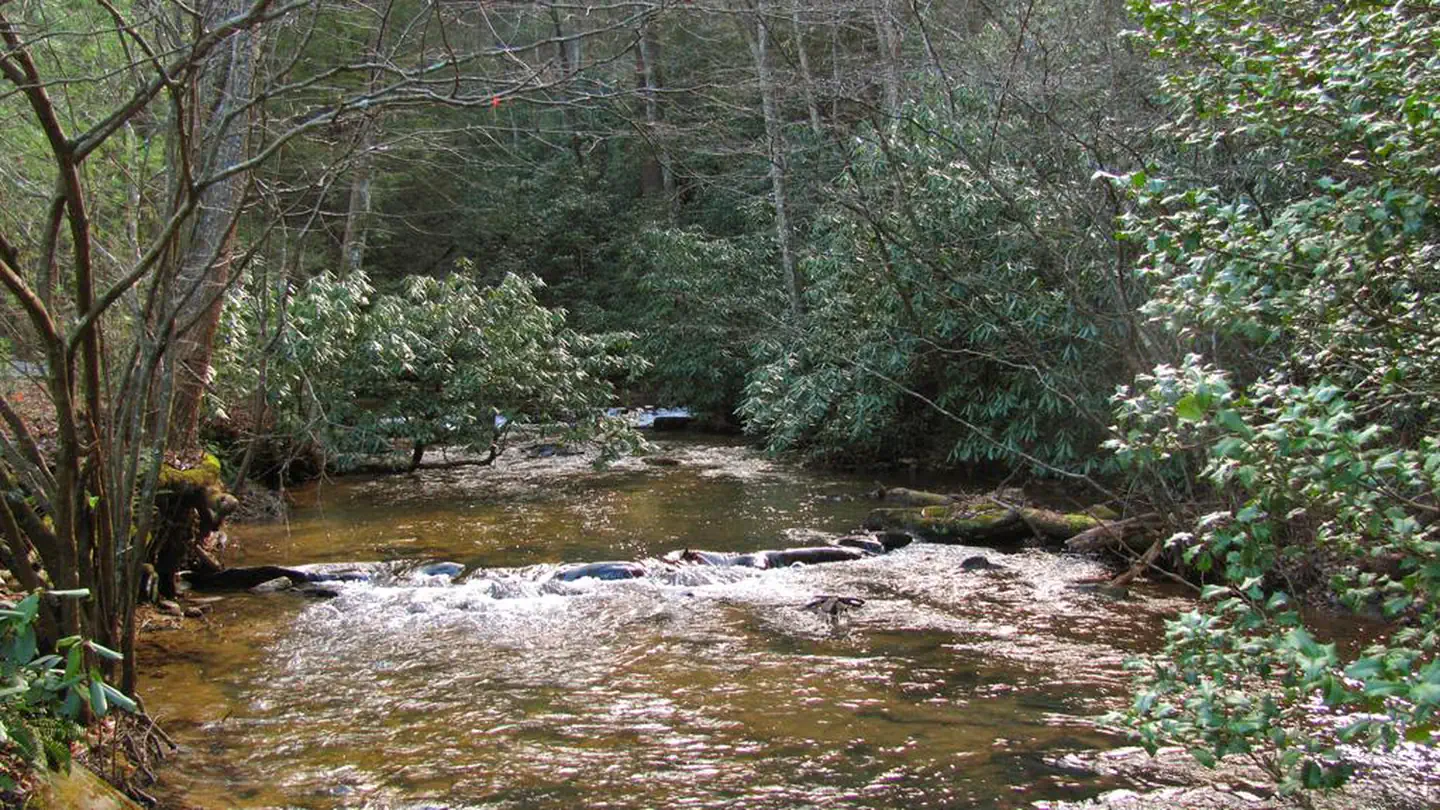 Campground (Paid Public)
Frank Gross Campground
51.2 mi from Chattahoochee-Oconee National Forest center
-
Campground (Paid Public) Houston Valley OHV Area 92.2 mi from Chattahoochee-Oconee National Forest center
-
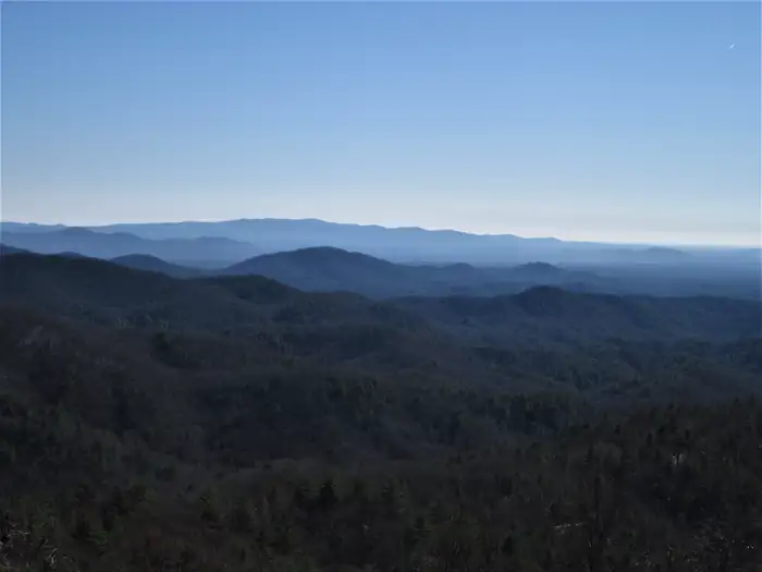 Campground (Paid Public)
Jacks River Fields Campground
71.2 mi from Chattahoochee-Oconee National Forest center
Hiking Trails
See all 13-
Hiking Trail Angel Falls Trailhead 55.1 mi from Chattahoochee-Oconee National Forest center
-
Hiking Trail Ball Field Dispersed Camping Area 75.5 mi from Chattahoochee-Oconee National Forest center
-
Hiking Trail Barnes Creek Picnic Area 71.2 mi from Chattahoochee-Oconee National Forest center
-
Hiking Trail Cohutta Overlook 70.6 mi from Chattahoochee-Oconee National Forest center
-
Hiking Trail Dry Creek Equestrian Trailhead 84.7 mi from Chattahoochee-Oconee National Forest center
-
Hiking Trail Dry Creek Trail System 84.6 mi from Chattahoochee-Oconee National Forest center
-
Hiking Trail Helton Creek Falls 51.2 mi from Chattahoochee-Oconee National Forest center
-
Hiking Trail Hemlock Falls Hiking Trailhead 58.9 mi from Chattahoochee-Oconee National Forest center
-
Hiking Trail John's Mountain Overlook 84.6 mi from Chattahoochee-Oconee National Forest center
-
Hiking Trail Lake Conasauga Picnic and Swim Site 75.4 mi from Chattahoochee-Oconee National Forest center
-
Hiking Trail Raven Cliffs Trailhead 48.1 mi from Chattahoochee-Oconee National Forest center
-
Hiking Trail Scull Shoals Historic Site 35.8 mi from Chattahoochee-Oconee National Forest center
Points of interest
11-
Point of interest Blue Ridge Ranger District 59.7 mi from Chattahoochee-Oconee National Forest center
-
Point of interest Conasauga Ranger District 79.2 mi from Chattahoochee-Oconee National Forest center
-
Point of interest Deep Hole Day Use Pass 53.5 mi from Chattahoochee-Oconee National Forest center
-
Point of interest Desoto Falls Day Use Pass 48.2 mi from Chattahoochee-Oconee National Forest center
-
Point of interest Dukes Creek Falls Day Use Pass 47.6 mi from Chattahoochee-Oconee National Forest center
-
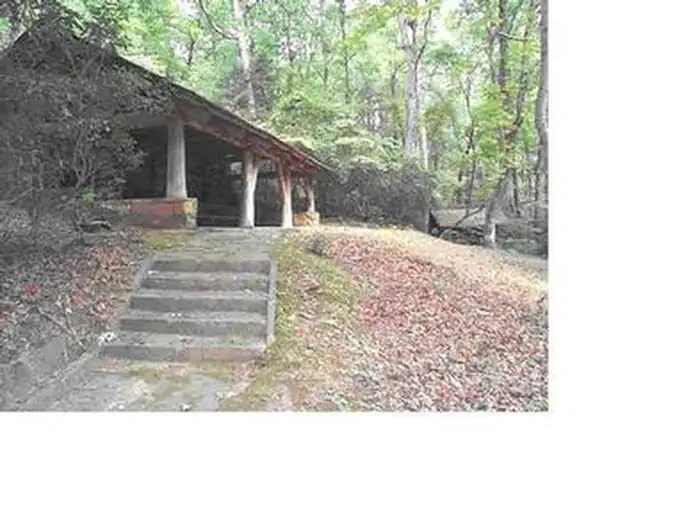 Point of interest
Fern Springs Day Use Picnic Area
42.9 mi from Chattahoochee-Oconee National Forest center
-
Point of interest Oconee Ranger District 48.7 mi from Chattahoochee-Oconee National Forest center
-
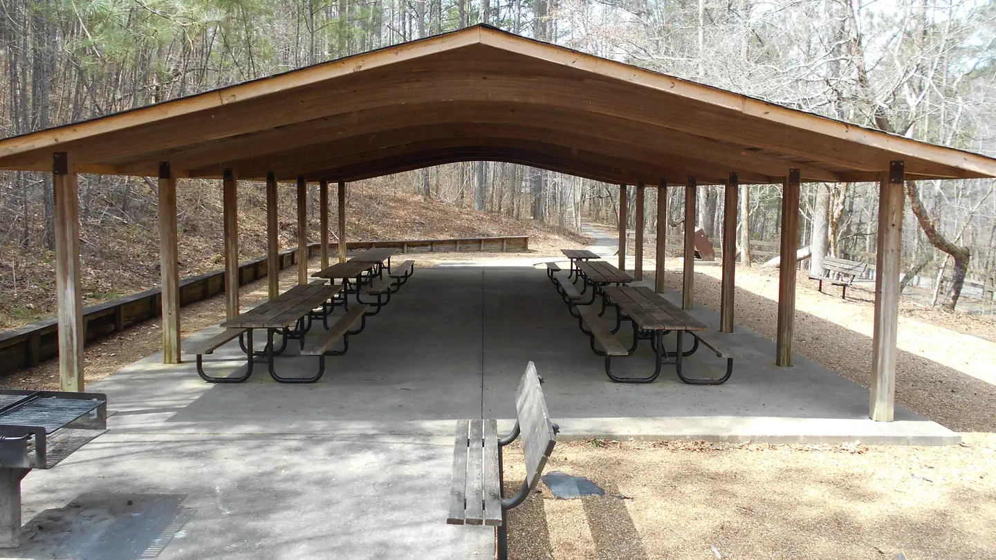 Point of interest
Pocket Picnic Shelter
82.4 mi from Chattahoochee-Oconee National Forest center
-
Point of interest Pocket Recreation Area Day Use 82.4 mi from Chattahoochee-Oconee National Forest center
-
Point of interest Swords Recreation Area Day Use 59.8 mi from Chattahoochee-Oconee National Forest center
-
Point of interest Toccoa River Sandy Bottoms Day Use 59.6 mi from Chattahoochee-Oconee National Forest center
Trailheads
See all 7-
Trailhead Frady Branch Trail System 42.0 mi from Chattahoochee-Oconee National Forest center
-
Trailhead Lake Russell Boat Launch and Beach Areas 37.8 mi from Chattahoochee-Oconee National Forest center
-
Trailhead Miller Creek Lake Recreation Area 64.3 mi from Chattahoochee-Oconee National Forest center
-
Trailhead Nancytown Day Use and Trailhead Pass 38.4 mi from Chattahoochee-Oconee National Forest center
-
Trailhead Ocmulgee Bluff Equestrain Trailhead 55.6 mi from Chattahoochee-Oconee National Forest center
-
Trailhead Panther Creek Falls Picnic Area and Trailhead 52.4 mi from Chattahoochee-Oconee National Forest center
-
Trailhead Raven's Cliff Wilderness Trailhead Pass 48.1 mi from Chattahoochee-Oconee National Forest center
Campgrounds (Free Public)
See all 5-
Campground (Free Public) Cedar Creek Shooting Range 58.5 mi from Chattahoochee-Oconee National Forest center
-
Campground (Free Public) Chattooga River District 56.3 mi from Chattahoochee-Oconee National Forest center
-
Campground (Free Public) Mill Creek Overlook 76.1 mi from Chattahoochee-Oconee National Forest center
-
Campground (Free Public) Mountaintown Overlook 73.3 mi from Chattahoochee-Oconee National Forest center
-
Campground (Free Public) Wildcat Creek Road Corridor 57.3 mi from Chattahoochee-Oconee National Forest center
Boat Ramps
See all 4-
Boat Ramp Lake Blue Ridge Recreation Area 63.5 mi from Chattahoochee-Oconee National Forest center
-
Boat Ramp Lake Chatuge Recreation Area 65.0 mi from Chattahoochee-Oconee National Forest center
-
Boat Ramp Peeples Lake 70.7 mi from Chattahoochee-Oconee National Forest center
-
Boat Ramp Redlands Recreation Area 43.8 mi from Chattahoochee-Oconee National Forest center
Other public lands
Nearest towns
Sources
Place records include Recreation.gov data.