Public land
Bitterroot National Forest
Bitterroot National Forest is a national forest in Montana and Idaho. It covers 467,678 acres. USFS manages it. Landgogh lists 64 places here: 19 campgrounds (free public), 14 campgrounds (paid public), 10 dispersed campings, and 21 other places. Nearest towns: Hamilton, Stevensville, and Anaconda-Deer Lodge County.
64 places
Campgrounds (Free Public)
See all 19-
Campground (Free Public) Blodgett Campground 56.2 mi from Bitterroot National Forest center
-
Campground (Free Public) Boulder Point Lookout 25.3 mi from Bitterroot National Forest center
-
Campground (Free Public) Charles Waters Campground 77.6 mi from Bitterroot National Forest center
-
Campground (Free Public) Crazy Creek Campground 27.5 mi from Bitterroot National Forest center
-
Campground (Free Public) Darby RD 39.7 mi from Bitterroot National Forest center
-
Campground (Free Public) Deep Creek Campground 25.3 mi from Bitterroot National Forest center
-
Campground (Free Public) Gold Creek Campground 68.0 mi from Bitterroot National Forest center
-
Campground (Free Public) Indian Creek Campground 30.8 mi from Bitterroot National Forest center
-
Campground (Free Public) Lake Como Campground 42.3 mi from Bitterroot National Forest center
-
Campground (Free Public) Magruder Crossing Campground 28.1 mi from Bitterroot National Forest center
-
Campground (Free Public) Observation Point Campground 27.1 mi from Bitterroot National Forest center
-
Campground (Free Public) Paradise Campground 34.0 mi from Bitterroot National Forest center
Campgrounds (Paid Public)
See all 14-
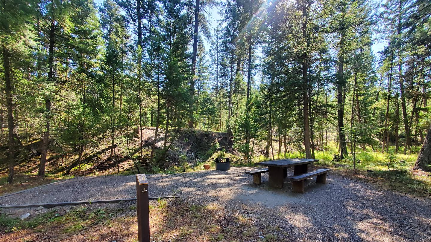 Campground (Paid Public)
Alta Campground
11.5 mi from Bitterroot National Forest center
-
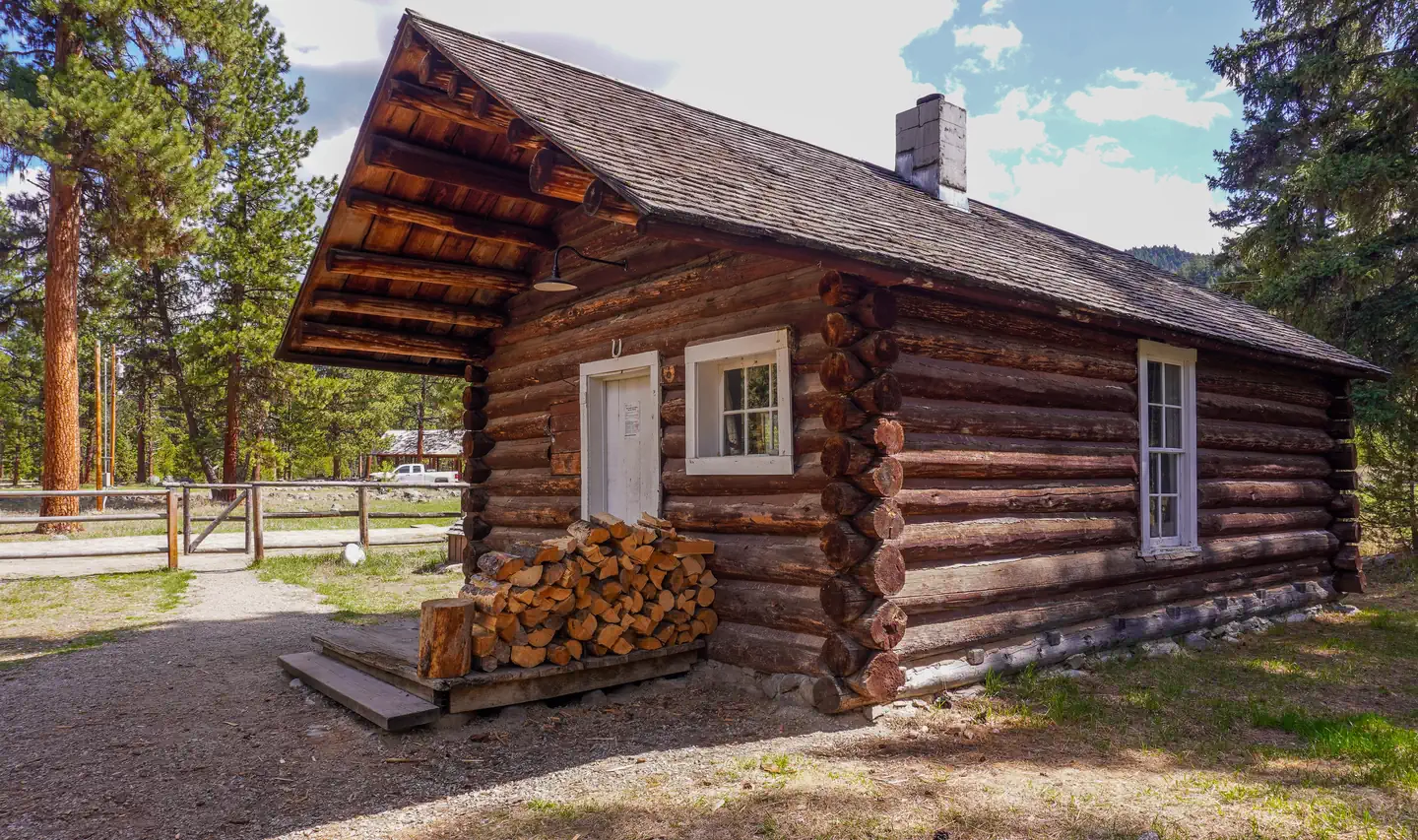 Campground (Paid Public)
East Fork Cabin
43.4 mi from Bitterroot National Forest center
-
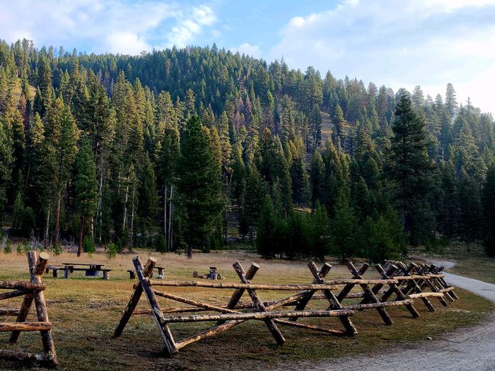 Campground (Paid Public)
Fales Flat Campground
20.5 mi from Bitterroot National Forest center
-
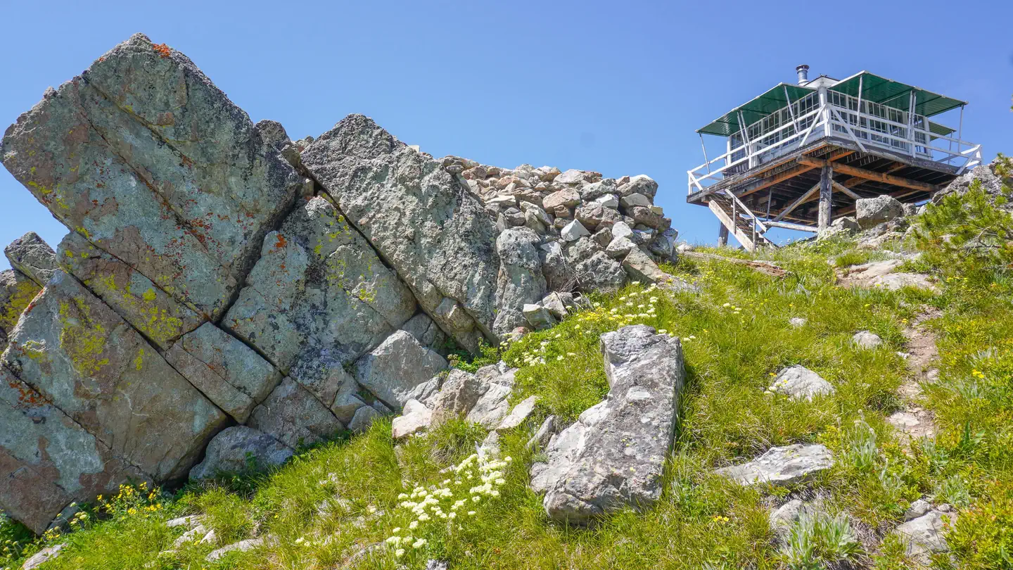 Campground (Paid Public)
Gird Point
55.5 mi from Bitterroot National Forest center
-
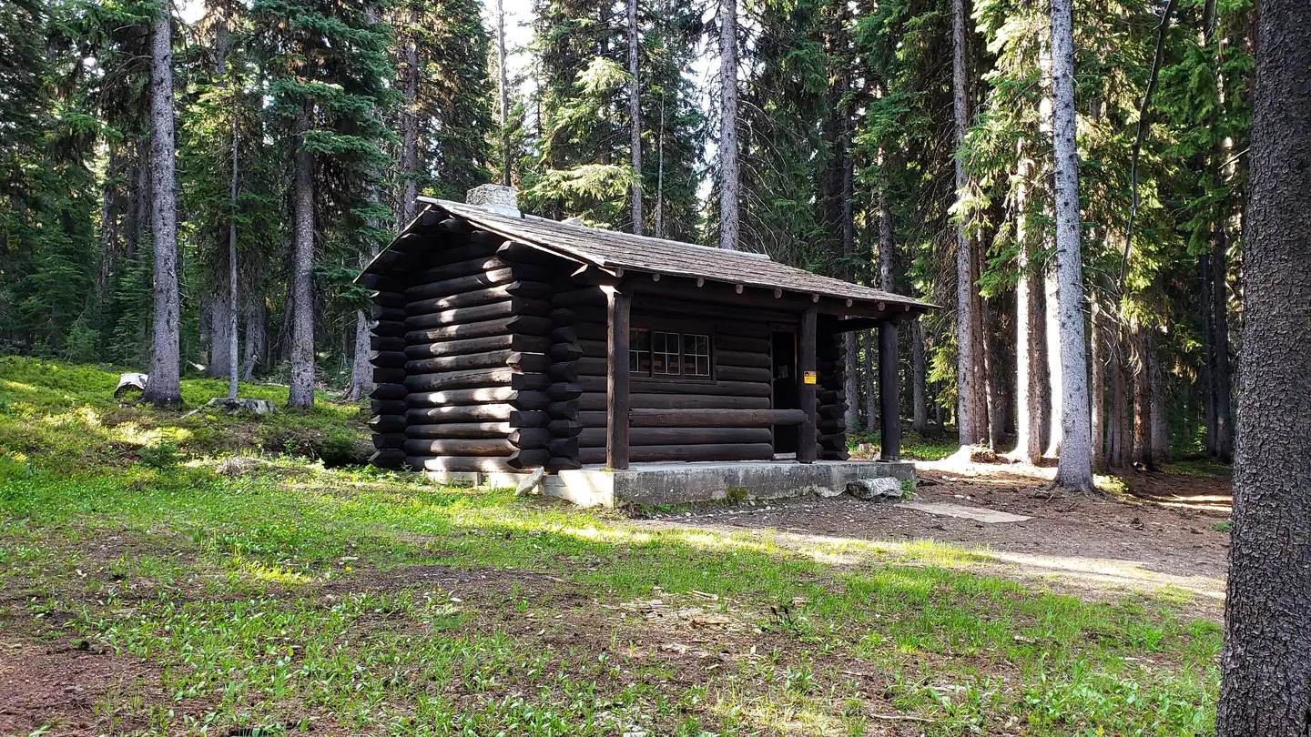 Campground (Paid Public)
Horse Heaven Cabin
30.6 mi from Bitterroot National Forest center
-
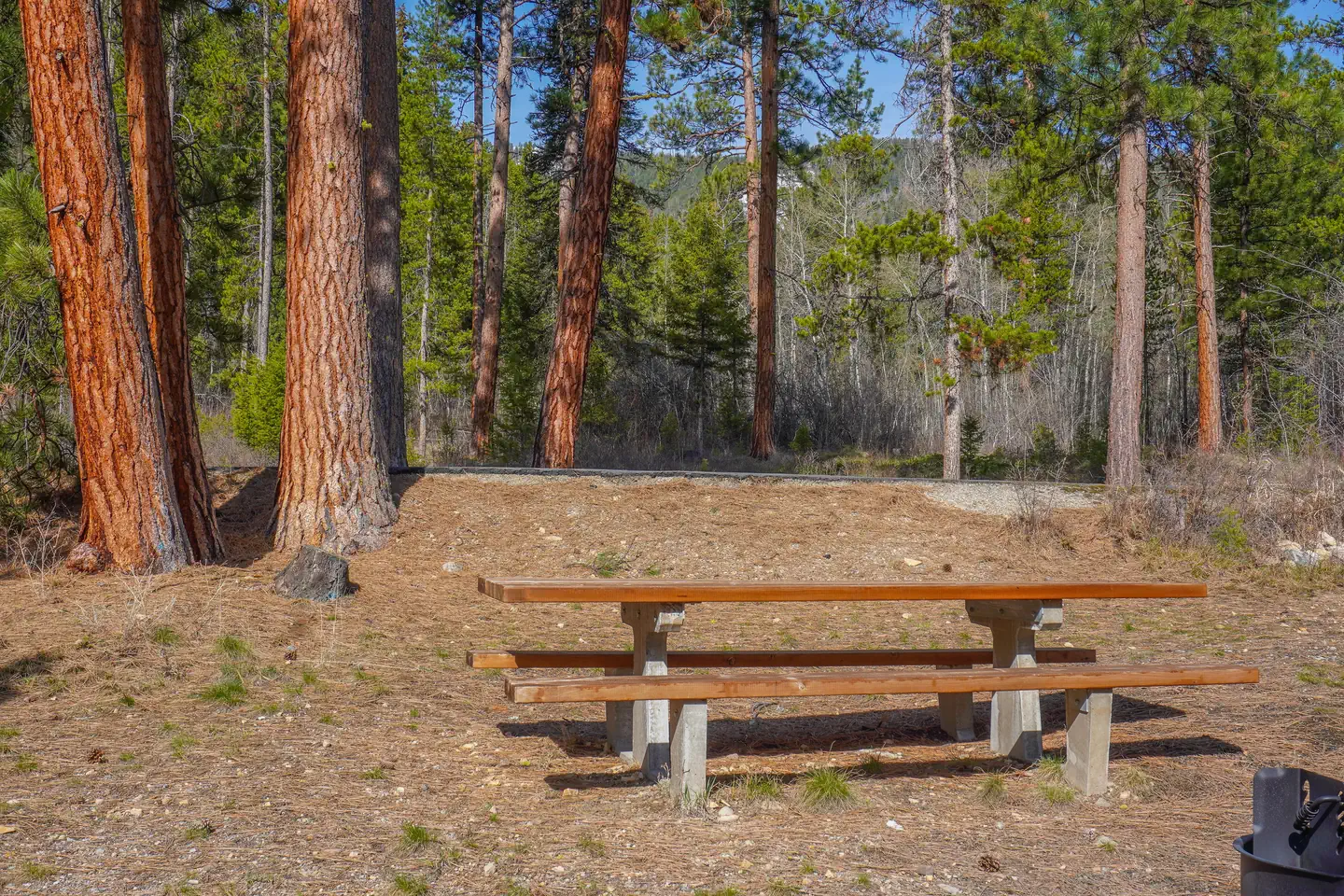 Campground (Paid Public)
Indian Trees Campground
27.5 mi from Bitterroot National Forest center
-
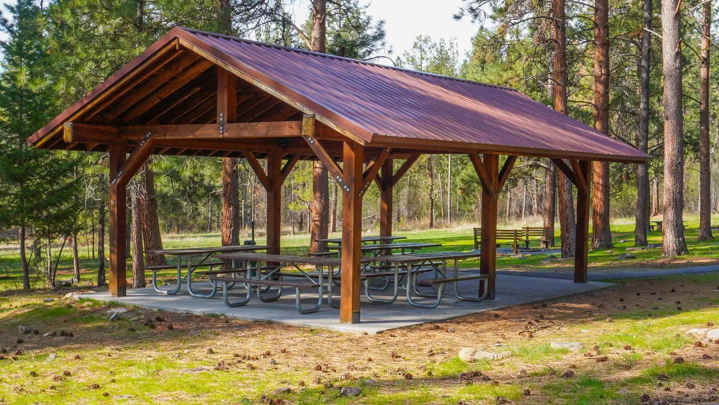 Campground (Paid Public)
Larry Creek Group Camp
78.5 mi from Bitterroot National Forest center
-
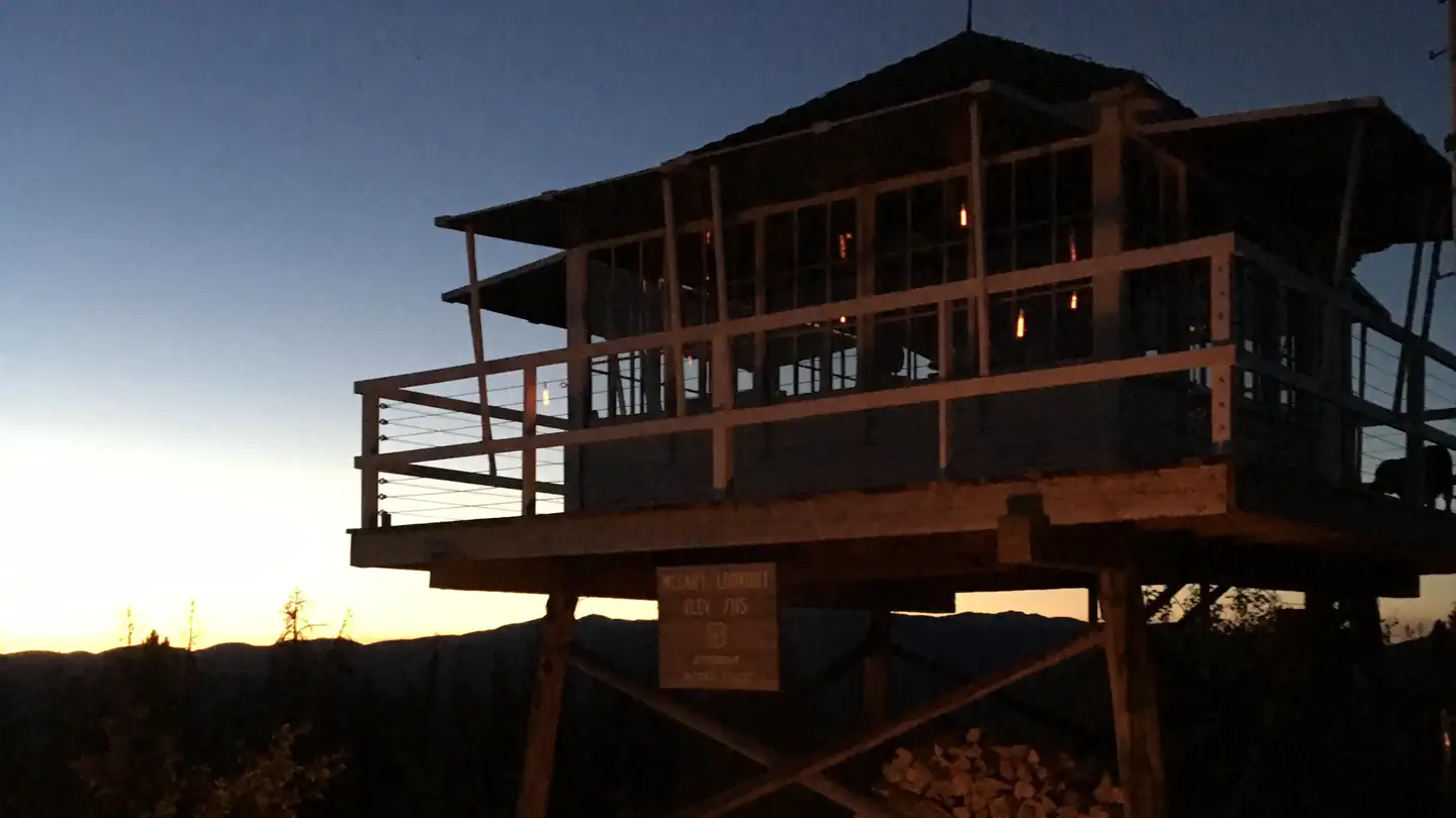 Campground (Paid Public)
McCart Lookout
41.8 mi from Bitterroot National Forest center
-
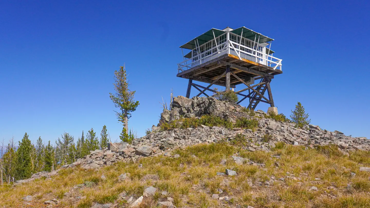 Campground (Paid Public)
Medicine Point Lookout
26.3 mi from Bitterroot National Forest center
-
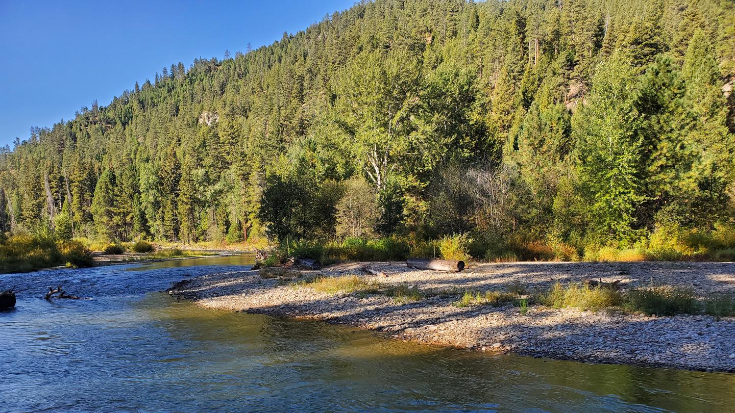 Campground (Paid Public)
Rombo
21.3 mi from Bitterroot National Forest center
-
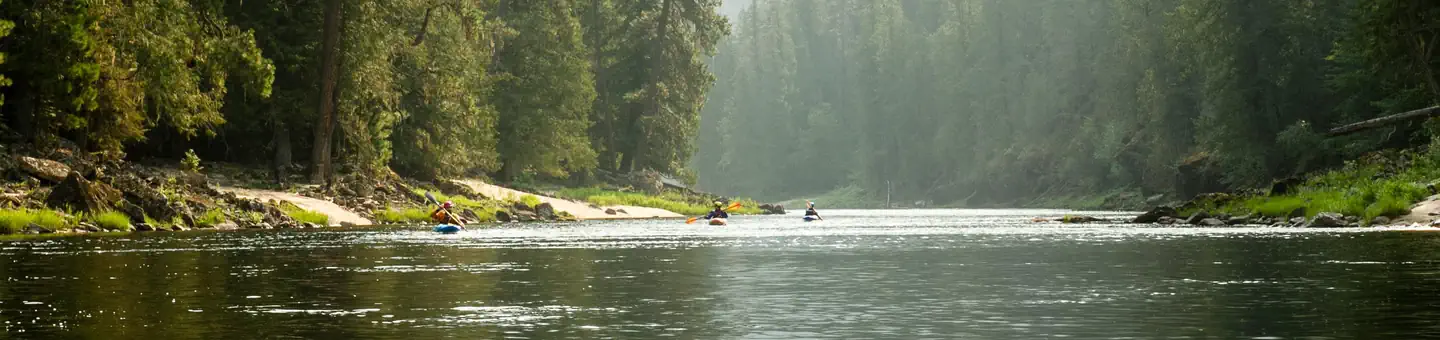 Campground (Paid Public)
Selway River (4 Rivers)
24.8 mi from Bitterroot National Forest center
-
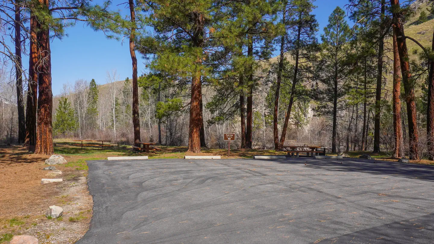 Campground (Paid Public)
Spring Gulch
31.4 mi from Bitterroot National Forest center
Dispersed Campings
See all 10-
Dispersed Camping Hells Half Acre Saddle 19.8 mi from Bitterroot National Forest center
-
Dispersed Camping Magruder 22.4 mi from Bitterroot National Forest center
-
Dispersed Camping Magruder 29.1 mi from Bitterroot National Forest center
-
Dispersed Camping Magruder 30.7 mi from Bitterroot National Forest center
-
Dispersed Camping Magruder 26.0 mi from Bitterroot National Forest center
-
Dispersed Camping Magruder 23.0 mi from Bitterroot National Forest center
-
Dispersed Camping Magruder 30.6 mi from Bitterroot National Forest center
-
Dispersed Camping Paradise 33.4 mi from Bitterroot National Forest center
-
Dispersed Camping Paradise 32.2 mi from Bitterroot National Forest center
-
Dispersed Camping Paradise 32.5 mi from Bitterroot National Forest center
Trailheads
See all 10-
Trailhead Cayuse Creek Trailhead 21.9 mi from Bitterroot National Forest center
-
Trailhead Flat Creek Trailhead 27.8 mi from Bitterroot National Forest center
-
Trailhead Flat Creekk Trail 27.4 mi from Bitterroot National Forest center
-
Trailhead Horse Heaven Trailhead 30.6 mi from Bitterroot National Forest center
-
Trailhead Kim Creek Saddle Trailhead 25.9 mi from Bitterroot National Forest center
-
Trailhead Lodgepole Hump Trailhead 32.5 mi from Bitterroot National Forest center
-
Trailhead Paradise Flat/White Cap Creek Trailhead 34.2 mi from Bitterroot National Forest center
-
Trailhead Salmon Mt Base Camp 27.3 mi from Bitterroot National Forest center
-
Trailhead Spot Mountain Trailhead 30.8 mi from Bitterroot National Forest center
-
Trailhead Twin Lakes Trailhead 49.1 mi from Bitterroot National Forest center
Hiking Trails
See all 7-
Hiking Trail Bass Creek Trailhead 77.6 mi from Bitterroot National Forest center
-
Hiking Trail Mccart Trailhead 42.0 mi from Bitterroot National Forest center
-
Hiking Trail Mill Creek Trailhead 59.0 mi from Bitterroot National Forest center
-
Hiking Trail Salmon Base Camp Trailhead 27.3 mi from Bitterroot National Forest center
-
Hiking Trail Sheafman Trailhead 60.4 mi from Bitterroot National Forest center
-
Hiking Trail Swift Creek Trailhead 40.3 mi from Bitterroot National Forest center
-
Hiking Trail Warm Springs Trailhead 27.5 mi from Bitterroot National Forest center
Points of interest
3
Tourist Attractions
See all 1Other public lands
Nearest towns
Sources
Place records include Recreation.gov data.