Public land
Arapaho & Roosevelt National Forests Pawnee NG
Arapaho & Roosevelt National Forests Pawnee NG is a national forest in Colorado. FS manages it. Landgogh lists 138 places here: 42 hiking trails, 32 campgrounds (paid public), 19 campgrounds (free public), and 45 other places. Nearest towns: Estes Park, Granby, and Silverthorne.
138 places
Hiking Trails
See all 42-
Hiking Trail Acme Creek Road (#219) 39.0 mi from Arapaho & Roosevelt National Forests Pawnee NG center
-
Hiking Trail Bald Mountain Road (#517) 31.0 mi from Arapaho & Roosevelt National Forests Pawnee NG center
-
Hiking Trail Ballard Road (#129, #129A,B) 20.0 mi from Arapaho & Roosevelt National Forests Pawnee NG center
-
Hiking Trail Black Hollow Road (#142, #142A-G) 30.5 mi from Arapaho & Roosevelt National Forests Pawnee NG center
-
Hiking Trail Bright Extension Trailhead 29.4 mi from Arapaho & Roosevelt National Forests Pawnee NG center
-
Hiking Trail Cache la Poudre Wilderness 21.4 mi from Arapaho & Roosevelt National Forests Pawnee NG center
-
Hiking Trail Cameron Pass Winter Recreation 42.4 mi from Arapaho & Roosevelt National Forests Pawnee NG center
-
Hiking Trail Chicken Park Road (#181, #181A-D) 30.8 mi from Arapaho & Roosevelt National Forests Pawnee NG center
-
Hiking Trail Comanche Peak Wilderness 40.5 mi from Arapaho & Roosevelt National Forests Pawnee NG center
-
Hiking Trail Coyote Hill Road (#325) 30.5 mi from Arapaho & Roosevelt National Forests Pawnee NG center
-
Hiking Trail Crystal Mountain Road (#344) 17.6 mi from Arapaho & Roosevelt National Forests Pawnee NG center
-
Hiking Trail Deadhorse Mountain (#182, #314, #315, #315B) 36.2 mi from Arapaho & Roosevelt National Forests Pawnee NG center
Campgrounds (Paid Public)
See all 32-
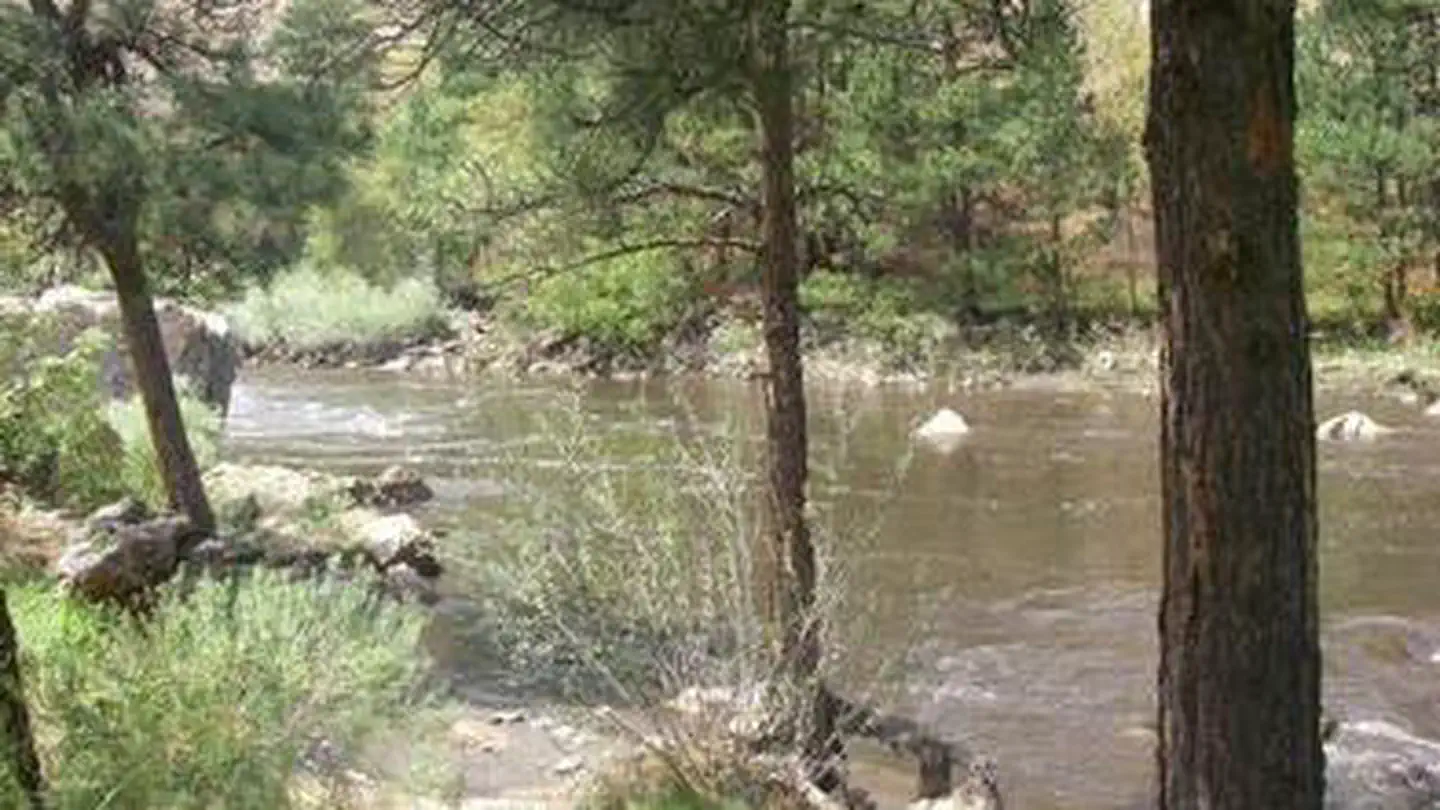 Campground (Paid Public)
Ansel Watrous
16.5 mi from Arapaho & Roosevelt National Forests Pawnee NG center
-
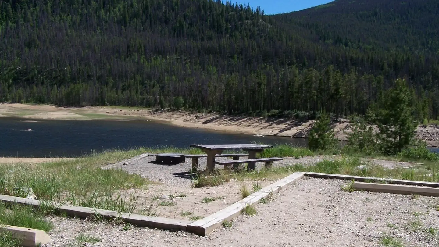 Campground (Paid Public)
Arapaho Bay
46.5 mi from Arapaho & Roosevelt National Forests Pawnee NG center
-
Campground (Paid Public) Arapaho National Recreation Area Passes 51.2 mi from Arapaho & Roosevelt National Forests Pawnee NG center
-
 Campground (Paid Public)
Bellaire Lake Campground
31.0 mi from Arapaho & Roosevelt National Forests Pawnee NG center
-
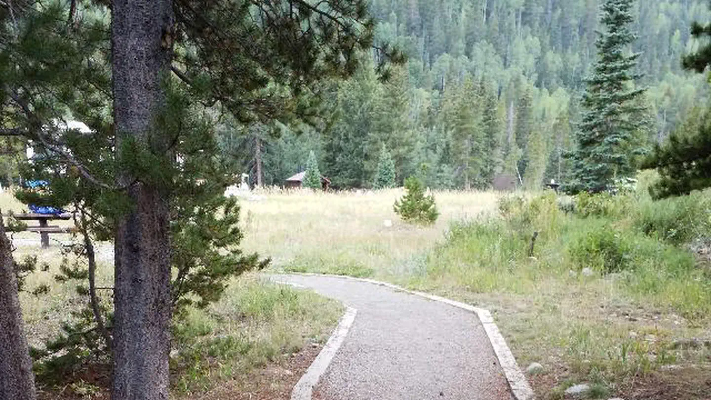 Campground (Paid Public)
Camp Dick
37.4 mi from Arapaho & Roosevelt National Forests Pawnee NG center
-
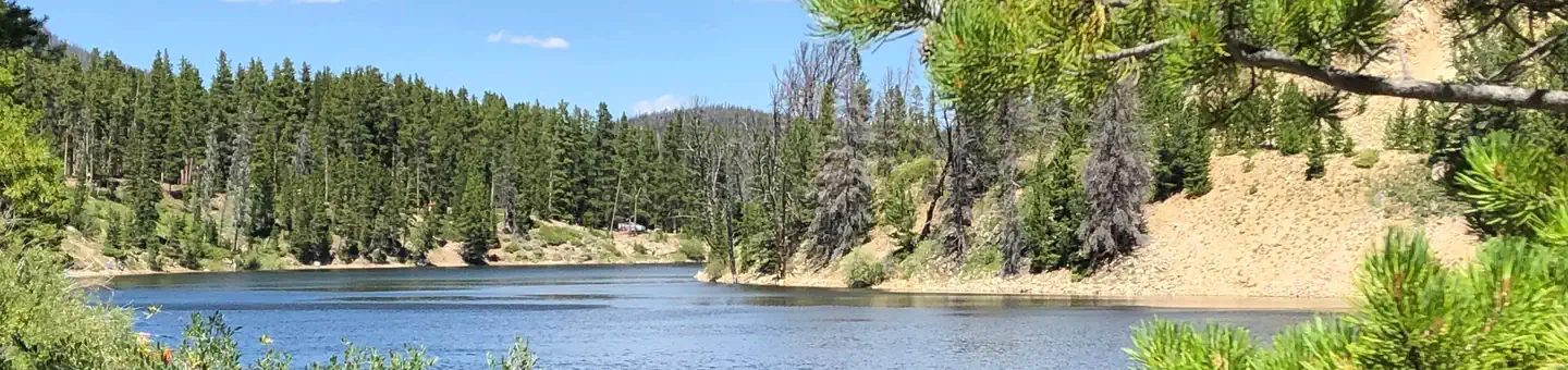 Campground (Paid Public)
Chambers Lake
39.8 mi from Arapaho & Roosevelt National Forests Pawnee NG center
-
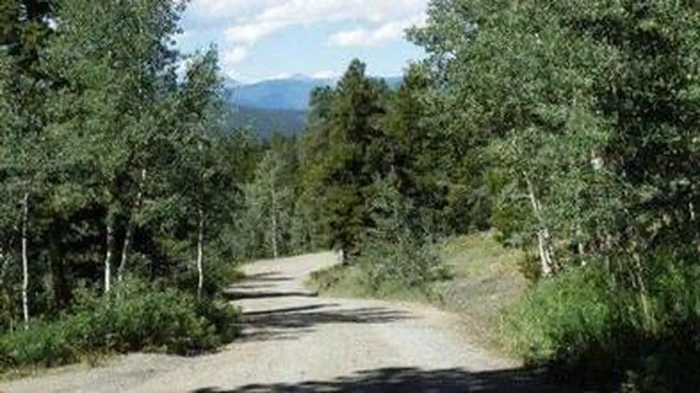 Campground (Paid Public)
Cold Springs - Arapaho Roosevelt NF (CO)
54.0 mi from Arapaho & Roosevelt National Forests Pawnee NG center
-
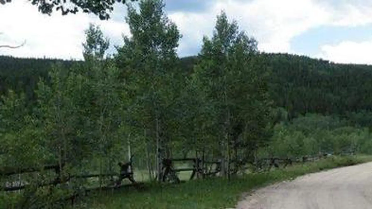 Campground (Paid Public)
Columbine Campground
57.0 mi from Arapaho & Roosevelt National Forests Pawnee NG center
-
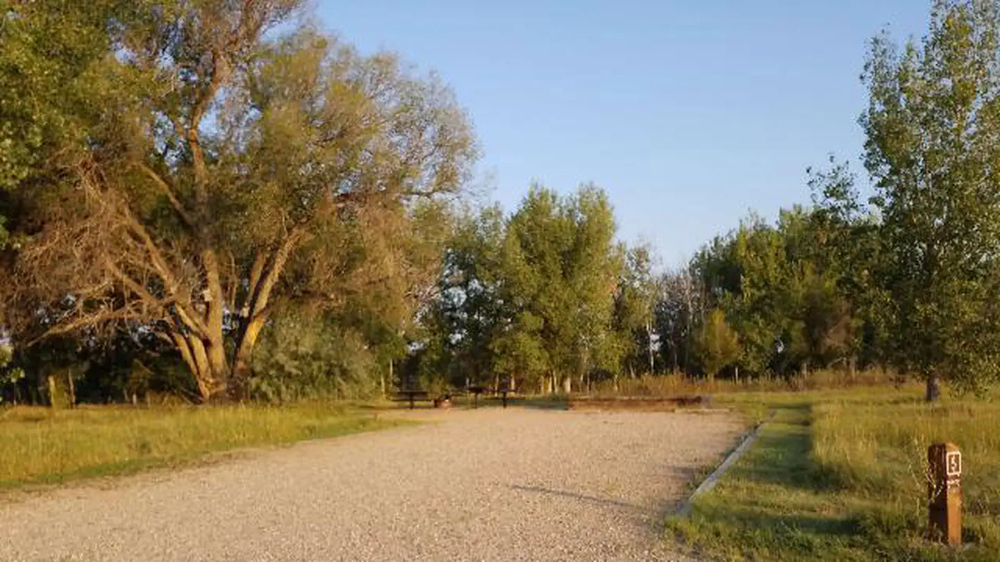 Campground (Paid Public)
Crow Valley
39.7 mi from Arapaho & Roosevelt National Forests Pawnee NG center
-
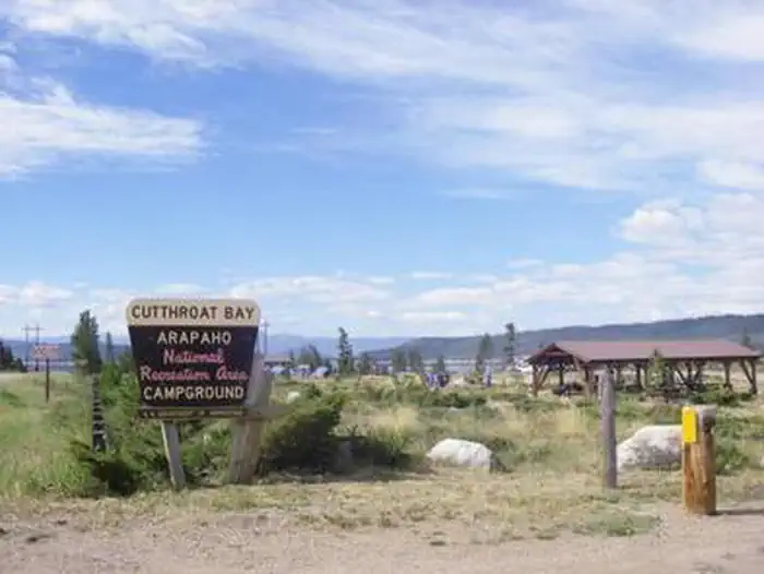 Campground (Paid Public)
Cutthroat Bay Group
48.6 mi from Arapaho & Roosevelt National Forests Pawnee NG center
-
 Campground (Paid Public)
Dowdy Lake
30.0 mi from Arapaho & Roosevelt National Forests Pawnee NG center
-
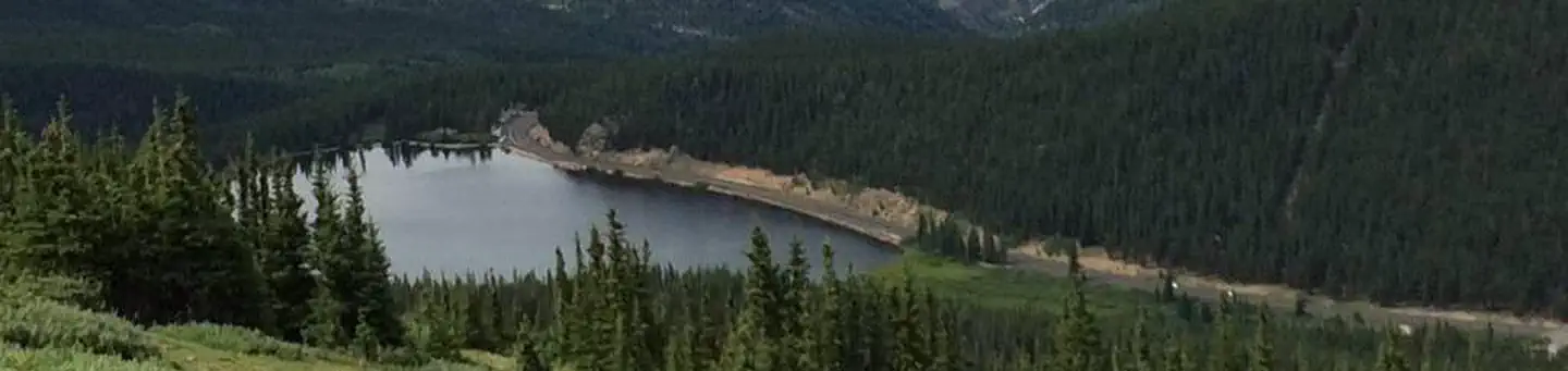 Campground (Paid Public)
Echo Lake
67.9 mi from Arapaho & Roosevelt National Forests Pawnee NG center
Campgrounds (Free Public)
See all 19-
Campground (Free Public) Arapaho National Recreation Area 46.5 mi from Arapaho & Roosevelt National Forests Pawnee NG center
-
Campground (Free Public) Bridges River Access Point (Put-In) 13.9 mi from Arapaho & Roosevelt National Forests Pawnee NG center
-
Campground (Free Public) Bridges River Access Point (Take-Out #2) 13.3 mi from Arapaho & Roosevelt National Forests Pawnee NG center
-
Campground (Free Public) Bridges River Access Point (Take-Out) 13.3 mi from Arapaho & Roosevelt National Forests Pawnee NG center
-
Campground (Free Public) Cheyenne Ridge Road (#139A,B,D) 29.2 mi from Arapaho & Roosevelt National Forests Pawnee NG center
-
Campground (Free Public) Crow Valley Recreation Area 39.7 mi from Arapaho & Roosevelt National Forests Pawnee NG center
-
Campground (Free Public) Filter Plant River Access Point (Put-In) 10.8 mi from Arapaho & Roosevelt National Forests Pawnee NG center
-
Campground (Free Public) Grandview Campground 38.0 mi from Arapaho & Roosevelt National Forests Pawnee NG center
-
Campground (Free Public) Kelly Flats Campground 22.4 mi from Arapaho & Roosevelt National Forests Pawnee NG center
-
Campground (Free Public) Long Draw Campground 35.9 mi from Arapaho & Roosevelt National Forests Pawnee NG center
-
Campground (Free Public) Meeker Park Overflow Campground 32.1 mi from Arapaho & Roosevelt National Forests Pawnee NG center
-
Campground (Free Public) North Fork Poudre Campground 37.1 mi from Arapaho & Roosevelt National Forests Pawnee NG center
Points of interest
13-
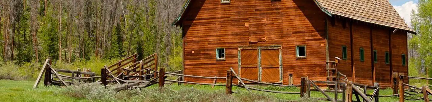 Point of interest
AA Bar Ranch (AA Barn) Group Picnic Site
46.6 mi from Arapaho & Roosevelt National Forests Pawnee NG center
-
Point of interest Big Bend Picnic Site Day Use 66.8 mi from Arapaho & Roosevelt National Forests Pawnee NG center
-
Point of interest Big Thompson River Fishing Site 18.8 mi from Arapaho & Roosevelt National Forests Pawnee NG center
-
Point of interest Clear Creek Picnic Site Day Use 69.7 mi from Arapaho & Roosevelt National Forests Pawnee NG center
-
Point of interest Devils Nose Target Range Day Use 67.0 mi from Arapaho & Roosevelt National Forests Pawnee NG center
-
Point of interest Dowdy Lake Picnic Site Day Pass 30.0 mi from Arapaho & Roosevelt National Forests Pawnee NG center
-
Point of interest Freewater Bridge Fishing Site 41.3 mi from Arapaho & Roosevelt National Forests Pawnee NG center
-
Point of interest Home Moraine Geological Interpretive Site 32.7 mi from Arapaho & Roosevelt National Forests Pawnee NG center
-
Point of interest Indian Meadows Fishing Site 25.7 mi from Arapaho & Roosevelt National Forests Pawnee NG center
-
Point of interest Mountain Park Picnic Site Day Use 21.6 mi from Arapaho & Roosevelt National Forests Pawnee NG center
-
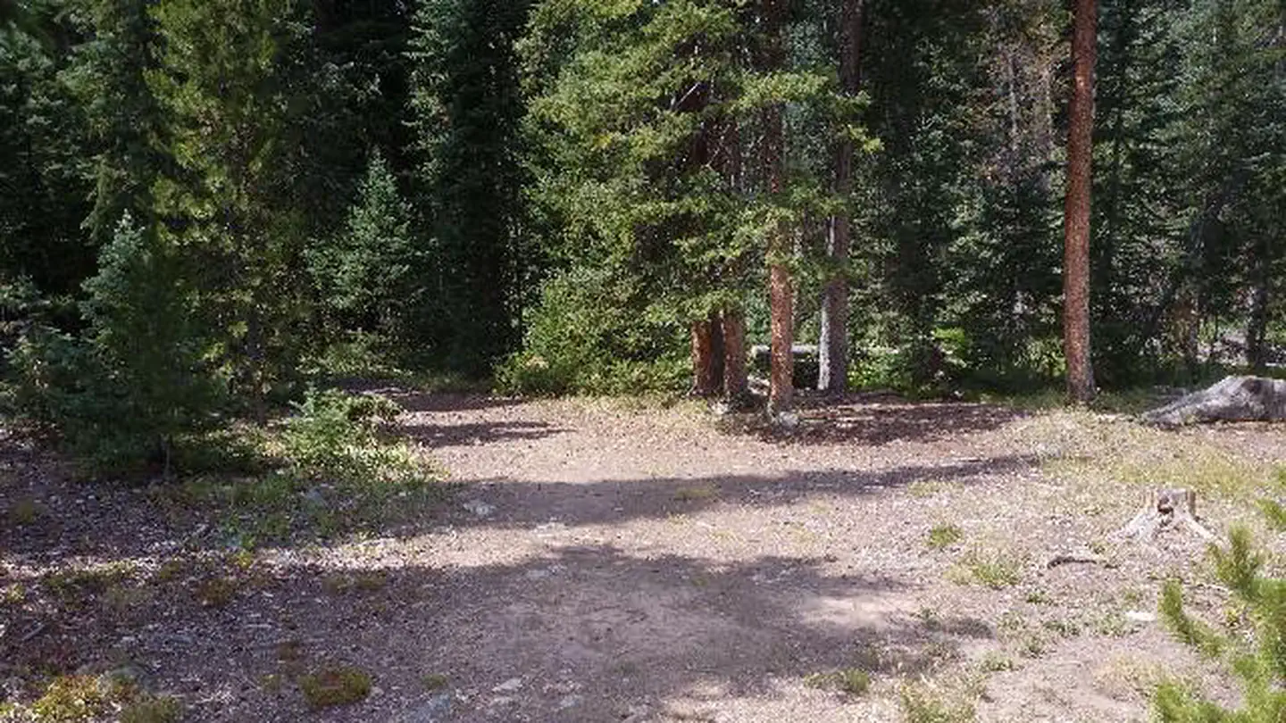 Point of interest
South Fork Group Site - Arapaho NF (CO)
72.7 mi from Arapaho & Roosevelt National Forests Pawnee NG center
-
Point of interest Sulphur Ranger District, near Winter Park & Granby 55.6 mi from Arapaho & Roosevelt National Forests Pawnee NG center
Tourist Attractions
See all 13-
Tourist Attraction Bennett Creek Picnic Site 23.7 mi from Arapaho & Roosevelt National Forests Pawnee NG center
-
Tourist Attraction Bill Moore Lake/Empire Loop 61.7 mi from Arapaho & Roosevelt National Forests Pawnee NG center
-
Tourist Attraction Boulder Canyon 40.0 mi from Arapaho & Roosevelt National Forests Pawnee NG center
-
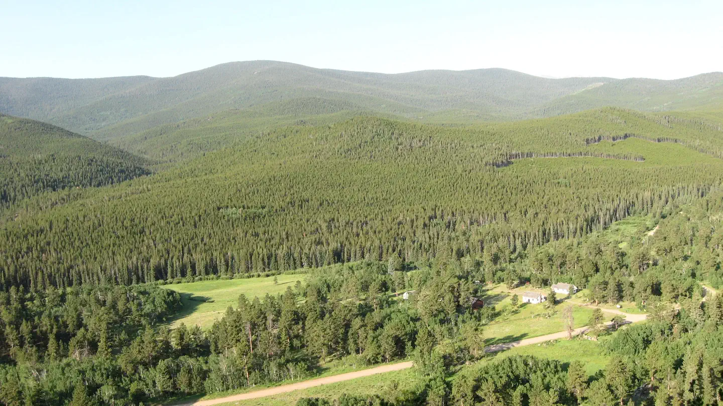 Tourist Attraction
Buckhorn Ranger Station
20.1 mi from Arapaho & Roosevelt National Forests Pawnee NG center
-
Tourist Attraction Cache la Poudre North Park Scenic Byway 13.6 mi from Arapaho & Roosevelt National Forests Pawnee NG center
-
Tourist Attraction Cameron Pass Picnic Site 42.4 mi from Arapaho & Roosevelt National Forests Pawnee NG center
-
Tourist Attraction Clear Creek Picnic Site 65.2 mi from Arapaho & Roosevelt National Forests Pawnee NG center
-
Tourist Attraction Fish Creek Picnic Site 23.8 mi from Arapaho & Roosevelt National Forests Pawnee NG center
-
Tourist Attraction Grand County Bird List 55.6 mi from Arapaho & Roosevelt National Forests Pawnee NG center
-
Tourist Attraction Lee and Dorothy Rhodes Farm Implement Museum 39.5 mi from Arapaho & Roosevelt National Forests Pawnee NG center
-
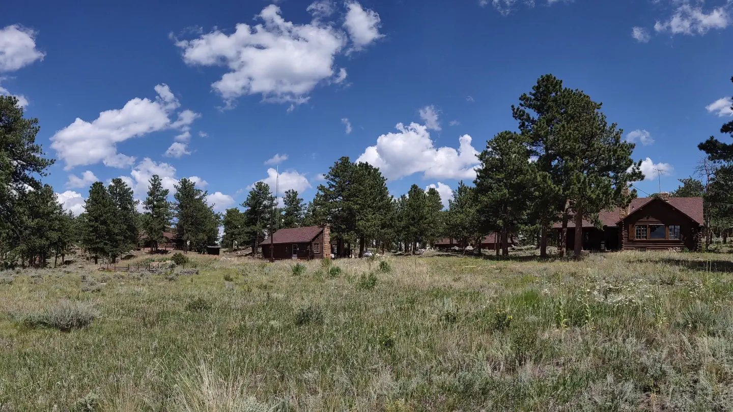 Tourist Attraction
Redfeather Ranger Station
30.1 mi from Arapaho & Roosevelt National Forests Pawnee NG center
-
Tourist Attraction Redfeather Visitor Center 30.2 mi from Arapaho & Roosevelt National Forests Pawnee NG center
Trailheads
See all 12-
Trailhead Brainard Lake Gateway Trailhead 42.1 mi from Arapaho & Roosevelt National Forests Pawnee NG center
-
Trailhead Dunraven Trailhead 20.5 mi from Arapaho & Roosevelt National Forests Pawnee NG center
-
Trailhead Idleglen Trailhead 48.3 mi from Arapaho & Roosevelt National Forests Pawnee NG center
-
Trailhead Jacks Gulch Trailhead 23.9 mi from Arapaho & Roosevelt National Forests Pawnee NG center
-
Trailhead Long Draw Parking (Winter) Trailhead 40.3 mi from Arapaho & Roosevelt National Forests Pawnee NG center
-
Trailhead Middle Saint Vrain Trailhead Day Pass 39.2 mi from Arapaho & Roosevelt National Forests Pawnee NG center
-
Trailhead Moody Hill Road (#513) 13.8 mi from Arapaho & Roosevelt National Forests Pawnee NG center
-
Trailhead Mt. McConnel Trailhead Day Pass 21.6 mi from Arapaho & Roosevelt National Forests Pawnee NG center
-
Trailhead Rainbow Lakes Trailhead Day Pass 45.7 mi from Arapaho & Roosevelt National Forests Pawnee NG center
-
Trailhead Sevenmile Road (#225) 28.0 mi from Arapaho & Roosevelt National Forests Pawnee NG center
-
Trailhead Signal Mountain (Bulwark Ridge) Trailhead 24.6 mi from Arapaho & Roosevelt National Forests Pawnee NG center
-
Trailhead West White Pine Road (#100) 20.1 mi from Arapaho & Roosevelt National Forests Pawnee NG center
Fishing Accesses
See all 7-
Fishing Access Bellaire Lake Picnic Site 31.5 mi from Arapaho & Roosevelt National Forests Pawnee NG center
-
Fishing Access Clear Lake Picnic Site 70.8 mi from Arapaho & Roosevelt National Forests Pawnee NG center
-
Fishing Access Creedmore Lake Fishing Site 33.4 mi from Arapaho & Roosevelt National Forests Pawnee NG center
-
Fishing Access Long Draw #1 Fishing site 36.3 mi from Arapaho & Roosevelt National Forests Pawnee NG center
-
Fishing Access Long Draw #2 Fishing Site 37.1 mi from Arapaho & Roosevelt National Forests Pawnee NG center
-
Fishing Access Long Draw #3 Fishing Site 37.2 mi from Arapaho & Roosevelt National Forests Pawnee NG center
-
Fishing Access West Lake Day Use Area 30.1 mi from Arapaho & Roosevelt National Forests Pawnee NG center
Other public lands
Nearest towns
Sources
Place records include Recreation.gov data.