
Follow travelers
Find people with similar rigs, routes, and interests — then follow their journey.


The map and community for camping, fishing, hiking, and exploring public land — follow friends, then see the trails, roads, weather, and wildfires around you. The map covers camping, fishing, hiking, and other places across the United States — more regions as we grow.
Get on the waitlist for Landgogh — the map and community for camping, fishing, hiking, and exploring public land.
A meeting place on the open road
Camp, fish, hike, and explore public land on one map. The Trail is where those travelers follow each other, swap tips, and make friends.
Find people with similar rigs, routes, and interests — then follow their journey.
Post from the road, reply with tips, glow what you love, and echo posts worth spreading.
Build a circle of trailmates who get the lifestyle — from weekend warriors to full-timers.
Message travelers you meet on The Trail — coordinate meetups, ask questions, stay in touch.
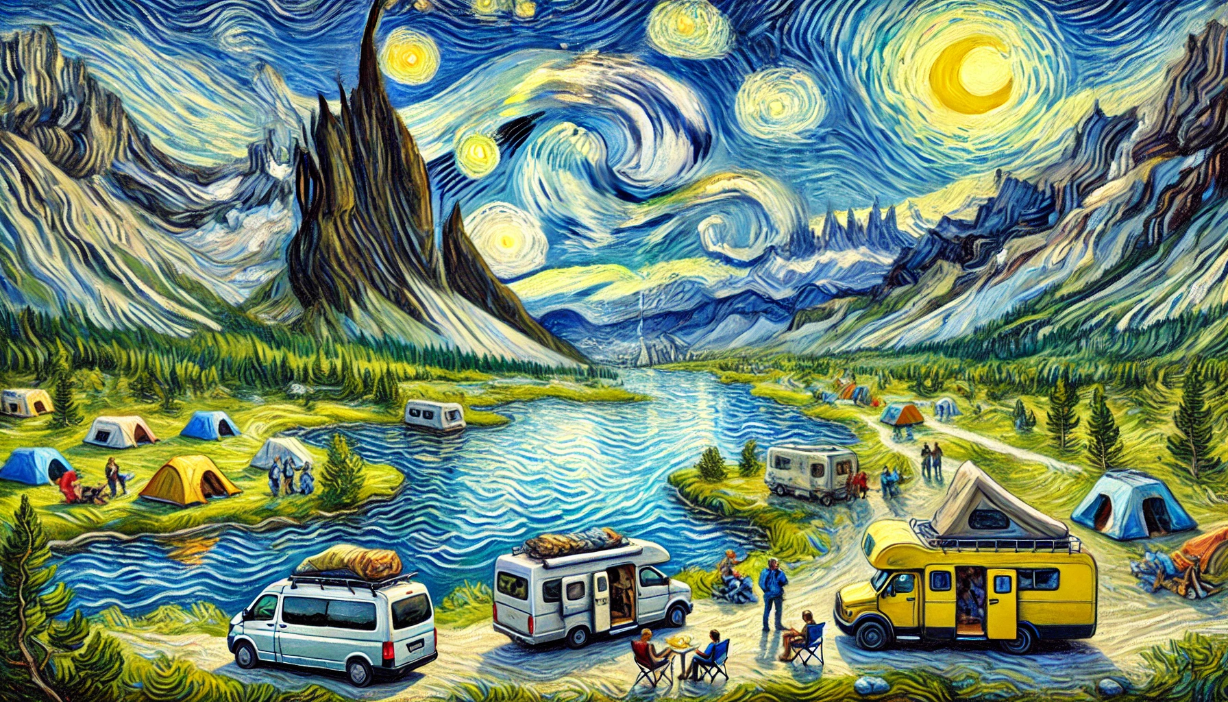
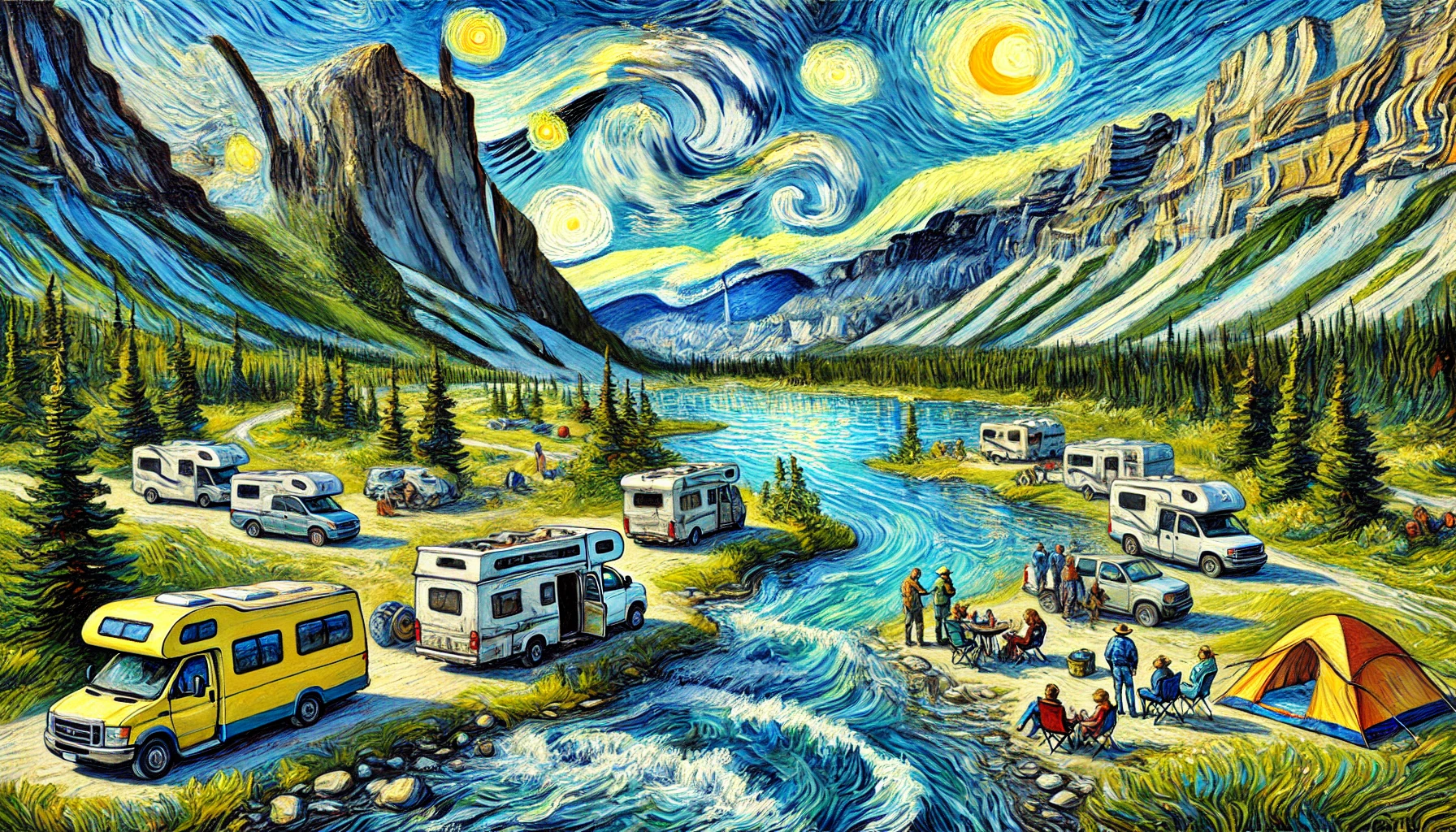
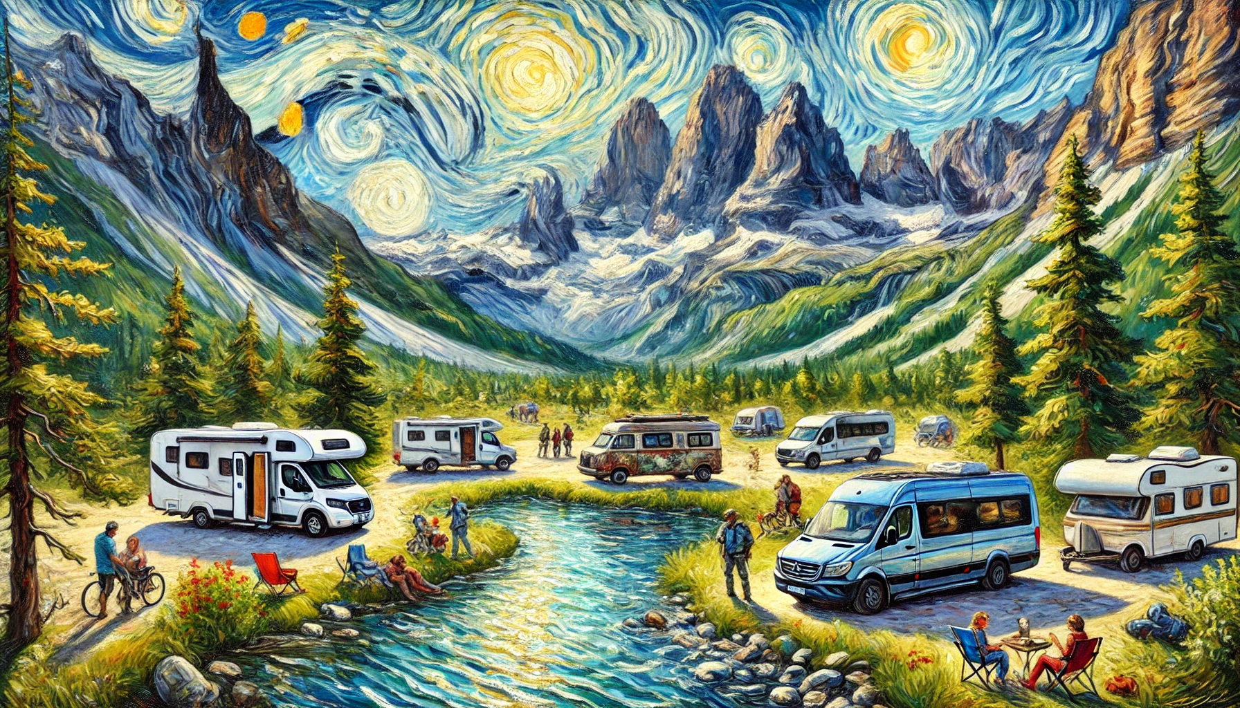
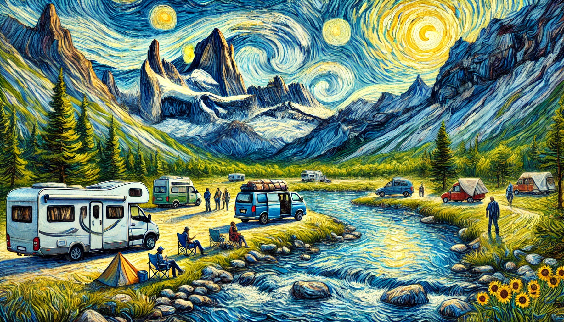
Landgogh is built so the road does not have to be lonely. Meet explorers, stay connected between camps, and turn chance encounters into lasting friendships.
Start free on the places map, unlock trails and land layers as an Adventurer, or list private land as a Host.
Free forever. Find campsites, fishing spots, trailheads, and services — then add the places you know.
The full map and the full community — land layers, live weather, and The Trail.
Welcome travelers onto private land — still part of the same community network.
Find a place to camp, a bank to fish, a trail to hike, or public land to explore. Then stay connected with the people who know those places.
Camping, fishing, hiking, and the public land around them — imported from trusted sources, then kept current by people who have actually been there.
14,669+
Places imported onto the map
16
Place types travelers can filter
Place types on the map
Parks, monuments, and public lands data.
Federal campgrounds and recreation facilities (RIDB).
Traveler services and recreation points mapped by the community.
Public land, wilderness, forest roads, and hiking trails for Adventurers.
Start free as a Pathfinder to find places. Adventurer unlocks the land, trail, and weather layers — and the social Trail.
Free
Forever · discover & contribute
Map layers & The Trail
$4.99/mo
or $39.99/year · layers, weather & The Trail
Early access members may receive complimentary premium access when invited in from the waitlist.
For landowners
Turn acreage, backyards, or campground inventory into bookable spots. Guests discover you next to the places they already explore.
Host is an additive role — stack it with Pathfinder or Adventurer. Completing onboarding unlocks the host portal.
How Landgogh helps you camp, fish, hike, and meet people doing the same — plus what Pathfinder, Adventurer, and Host include.
Yes. Landgogh is a map and a meeting place for people who camp, fish, hike, and explore public land. Follow people, share what you found, and message trailmates — with the places and the land layers in the same app.
The Trail is Landgogh's social feed for Adventurers. Follow travelers, post from the road, reply with tips, glow posts you love, echo what is worth sharing, and connect with people who get the lifestyle.
Adventurer unlocks the premium map: public land, wilderness, Forest Service roads, hiking trails, topo and satellite basemaps, weather alerts, a live radar loop, and wildfires. It also unlocks The Trail, direct messages, place weather, nearby places, galleries, favorites, and navigation links. Pathfinders keep the free places map.
Yes. Pathfinders can browse campsites, fishing spots, trailheads, and other places, add their own, and check in. Land layers, radar, The Trail, and free-form DMs require Adventurer.
Places, public land, trails, and weather layers currently cover the United States. Travelers anywhere can join Landgogh — Canada, Mexico, and more regions will be added as we grow.
You'll be considered for early access as we open the community. Some early members receive complimentary premium access when invited in — details are shared privately when your spot is ready.
Hosts complete onboarding, publish properties and spots, and accept bookings when payouts are ready. Hosting stacks on top of your primary account. After 3 qualifying bookings from distinct guests, hosts can earn complimentary Adventurer access.
Yes. Adventurers can send free-form direct messages to connect, ask questions, or plan meetups. Pathfinders can still use booking-related threads with hosts when they book a stay.
Finding and contributing places stays free. Paid Adventurer supports the land and weather layers, the social Trail, messaging, and the work of keeping those sources current.