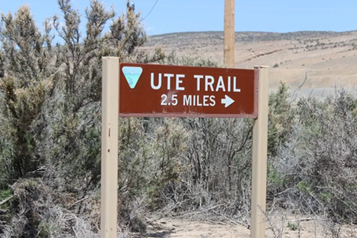
Ute Trailhead- Gunnison Gorge
Gunnison Gorge National Conservation Area, Colorado
Added
June 30th, 2026
Adventurer unlock
Directions, weather, and nearby services help you decide if this stop works tonight.
- Directions in Google, Apple, and Waze
- Weather, cell coverage, and elevation
- Nearby services and recent check-ins

About this place
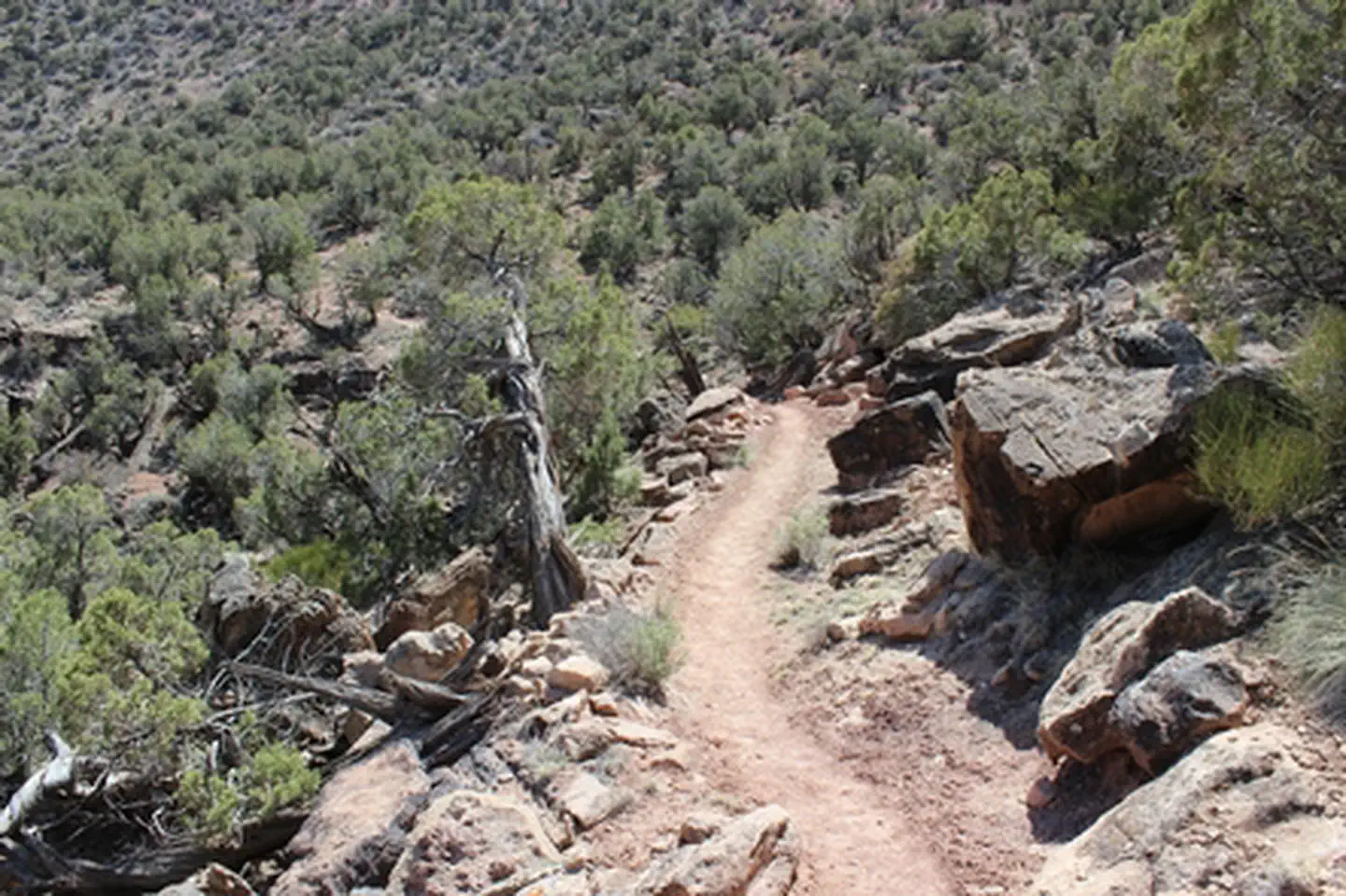
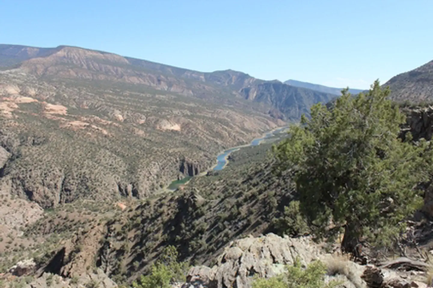
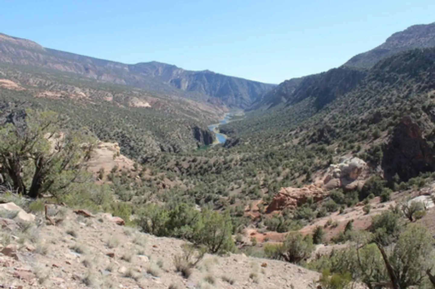
The trail begins on a ridge that overlooks the area around Delta, Colorado to the west, over 1200 feet below and the Gunnison Gorge Wilderness Area to the east with a similar drop in elevation to the level of the Gunnison River where it ends about 4.5 miles away. The ridge line forms the western boundary of the wilderness area as it passes through this area of the Gunnison Gorge National Conservation Area. Site amenities include two campsites with shade structures and picnic tables, a vault toilet, and an informational kiosk. There is a self-serve fee station for use of the wilderness, including Ute Trail. For more information, please contact the Gunnison Gorge NCA or Uncompahgre Field Office.
Details
GPS 38.68263, -107.86403
Phone
None
Website
None
Nearby places
- Gunnison Gorge Wilderness Day Use Campground (Paid Public) 1.9 mi
- Duncan Trailhead Hiking Trail 2.4 mi
- Bobcat Trailhead Hiking Trail 3.7 mi
- Eagle Valley Trailhead Hiking Trail 5.5 mi
- Orchard Boat Ramp Boat Ramp 6.2 mi
- Peach Valley OHV Staging Area Campground (Free Public) 6.2 mi
- Cottonwood Grove Campground Campground (Free Public) 6.6 mi
- West River Trailhead Fishing Access 7.0 mi
Check in
Share a visit note and optional photos for other travelers.
Sign in to check in, save this place, or add your own.
Recent check-ins
No check-ins yet for this place.