Huron Islands Wilderness
Huron National Wildlife Refuge, Michigan
Added
June 30th, 2026
Adventurer unlock
Directions, weather, and nearby services help you decide if this stop works tonight.
- Directions in Google, Apple, and Waze
- Weather, cell coverage, and elevation
- Nearby services and recent check-ins

About this place
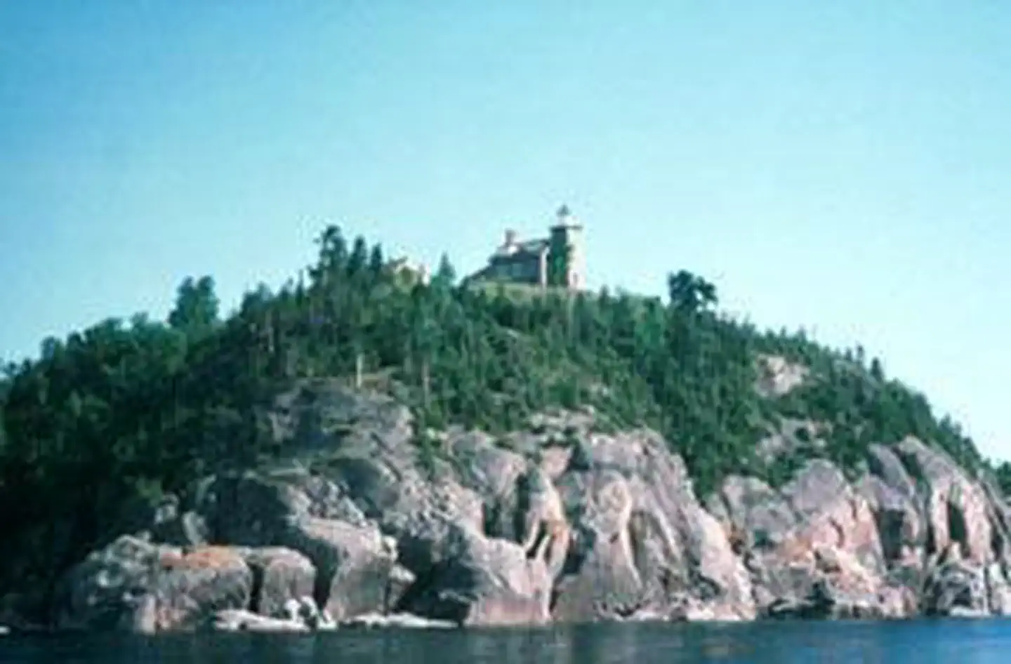
The Huron Islands Wilderness now contains a total of 147 acres and is managed by the Fish & Wildlife Service's Seney National Wildlife Refuge. All of the Wilderness is in the state of Michigan. In 1970 the Huron Islands Wilderness became part of the now over 110 million acre National Wilderness Preservation System. The Huron Island Wilderness is located on the Huron National Wildlife Refuge. The Refuge was created in 1905, when President Theodore Roosevelt designated the 8 small islands a national bird sanctuary to protect large colonies of nesting gulls. All of the Refuge’s islands are managed as Wilderness. Lighthouse Island is the only island open to public access. The eastern most island is known as Cattle Island in memory of the livestock marooned there in 1860 when a cargo ship, the Arctic, ran aground. This incident prompted the construction of a lighthouse on the West Huron Island, also known as Lighthouse Island. The lighthouse was completed in 1868 and is still active today. The islands are sheer granite outcrops which rise nearly 120 feet above the Lake Superior waterline. In some areas the bare granite still shows deep grooves left by retreating glaciers, while in other areas the thin soil layer supports a ground cover with gnarled red and white pines, balsam fir, and white birch. On Lighthouse Island you will also find remnant plants from past light keeper’s gardens. Wildlife is scarce during the winter months, only snowshoe hare and small mammals are year-round residents. Occasionally, other mammals may wander across the winter ice to explore, but they seldom take up residence. However, the islands are critically important for colonial nesting birds and they serve as a resting site for birds migrating across Lake Superior. A half mile trail leads from the boat dock to the lighthouse and a 1 mile trail will guide you to the north end of the island.
Details
GPS 46.96226, -87.99891
Phone
None
Website
None
Nearby places
Check in
Share a visit note and optional photos for other travelers.
Sign in to check in, save this place, or add your own.
Recent check-ins
No check-ins yet for this place.