Alkali Draw WSA
Wyoming
Added
June 30th, 2026
Adventurer unlock
Directions, weather, and nearby services help you decide if this stop works tonight.
- Directions in Google, Apple, and Waze
- Weather, cell coverage, and elevation
- Nearby services and recent check-ins

About this place
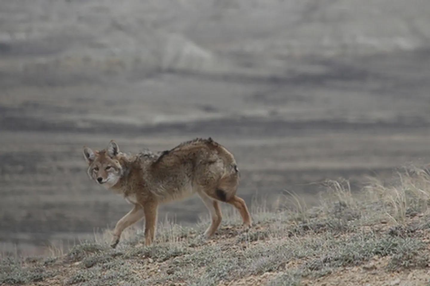
The Alkali Draw WSA encompasses 16,990 acres of BLM-administered land and 640 acres of state land. The study area includes a portion of the Red Desert Area. Alkali Draw in the main drainage running eastwardly from the Bush Rim and Steamboat Mountain. A series of smaller draws creates a washboard topographic effect. Big sagebrush and grease wood are the principle vegetative species.This area offers primitive and unconfined recreation such as hiking, horseback riding, camping, photography and sightseeing. Some small caves are found in the area and offer opportunity for recreation. The rims and cliff escarpments provide some non-technical climbing opportunities and challenging hikes. This is a fee-free area. Portions of the boundary road area ADA accessible.
Details
GPS 42.06842, -108.83029
Phone
None
Website
None
Nearby places
- Tri-Territory Site Tourist Attraction 6.6 mi
- The Pinnacles Geologic Site Hiking Trail 6.7 mi
- South Pinnacles WSA Hiking Trail 6.9 mi
- Oregon Buttes WSA Campground (Free Public) 12 mi
- North Table Rock Camping Area Campground (Free Public) 14 mi
- Whitehorse Creek WSA Hiking Trail 15 mi
- Honeycomb Buttes WSA Campground (Free Public) 15 mi
- Crookston Ranch Cultural Site Tourist Attraction 15 mi
Check in
Share a visit note and optional photos for other travelers.
Sign in to check in, save this place, or add your own.
Recent check-ins
No check-ins yet for this place.