Brushy Creek Day Use
Lake O' The Pines, Texas
Added
June 30th, 2026
Adventurer unlock
Directions, weather, and nearby services help you decide if this stop works tonight.
- Directions in Google, Apple, and Waze
- Weather, cell coverage, and elevation
- Nearby services and recent check-ins

About this place
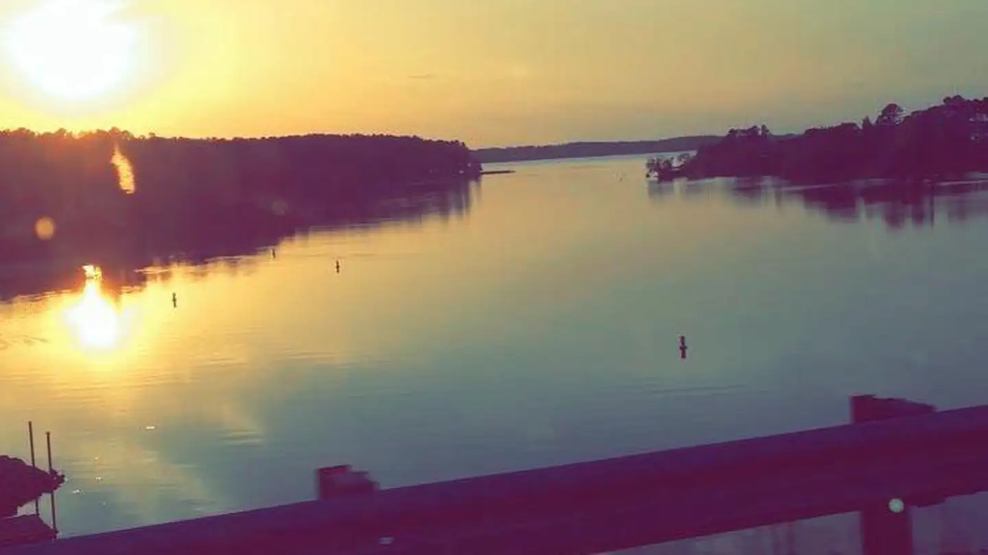
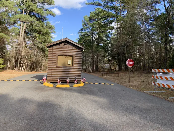
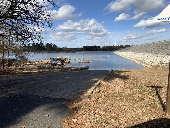
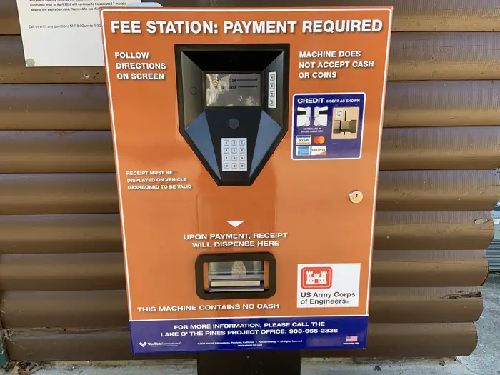
Overview Brushy Creek Day Use Area is situated along the banks of Lake O' the Pines in the Ark-La-Tex portion of the Pineywoods of east Texas near the states of Arkansas, Oklahoma, and Louisiana. Address to get here: 189 Brushy Creek Park Rd. Jefferson, TX 75657 Recreation Boating, fishing, water sports, and wildlife viewing are all popular pastimes at the campground. Hunting opportunities for white-tailed deer, waterfowl, and small game are available on nearby public lands. Lake O' the Pines fishing includes largemouth, spotted, and white bass along with crappie, catfish, and sunfish. In addition to boat fishing there are areas for bank fishing along the shore and below the dam along Big Cypress Bayou. Birdwatchers are also encouraged to bring their binoculars as numerous resident and migratory bird species inhabit the area. Bald eagle sightings are a common occurrence in fall and winter and they are occasionally sighted in spring and summer. Boating, fishing, hunting and wildlife viewing are all popular pastimes at Brushy Creek. Facilities Brushy Creek Day Use area offers one large group picnic shelter, along with 30 smaller, non-reservable picnic sites located in shady areas along the shore. Each site has tables and grills. A boat ramp, courtesy dock, swimming beach and basketball court are also provided, making the area perfect for large parties or family functions.Natural Features Lake O' the Pines includes about 18,700 acres of water and 9,000 acres of land. The lake was created by the construction of the Ferrell's Bridge Dam on the Big Cypress Bayou. The reservoir was originally created as part of the overall plan for flood control in the Red River Basin below Denison Dam in Oklahoma, and has now become a recreational oasis for outdoor enthusiasts. Nearby Attractions Other historic and tourist attractions are nearby in the towns of Jefferson and Marshall, and Texas Wildflower Trail routes are located along the roads surrounding the lake.
Details
GPS 32.73833, -94.57472
Phone
None
Website
None
Nearby places
- Brushy Creek Day Use Passes (delete this entry) Campground (Paid Public) 0.0 mi
- Brushy Creek Campground (Paid Public) 2.3 mi
- Johnson Creek Camp Campground (Paid Public) 3.6 mi
- Johnson Creek Day Use Passes (delete this entry) Campground (Paid Public) 3.7 mi
- Lakeside Day Use Campground (Paid Public) 3.7 mi
- Lakeside Day Use Passes (delete this entry) Campground (Paid Public) 3.8 mi
- Johnson Creek Day Use Campground (Paid Public) 3.8 mi
- Johnson Creek Marina Campground (Free Public) 4.1 mi
Check in
Share a visit note and optional photos for other travelers.
Sign in to check in, save this place, or add your own.
Recent check-ins
No check-ins yet for this place.