Bandy Creek
Big South Fork National River & Recreation Area, Tennessee
Added
June 30th, 2026
Adventurer unlock
Directions, weather, and nearby services help you decide if this stop works tonight.
- Directions in Google, Apple, and Waze
- Weather, cell coverage, and elevation
- Nearby services and recent check-ins

About this place
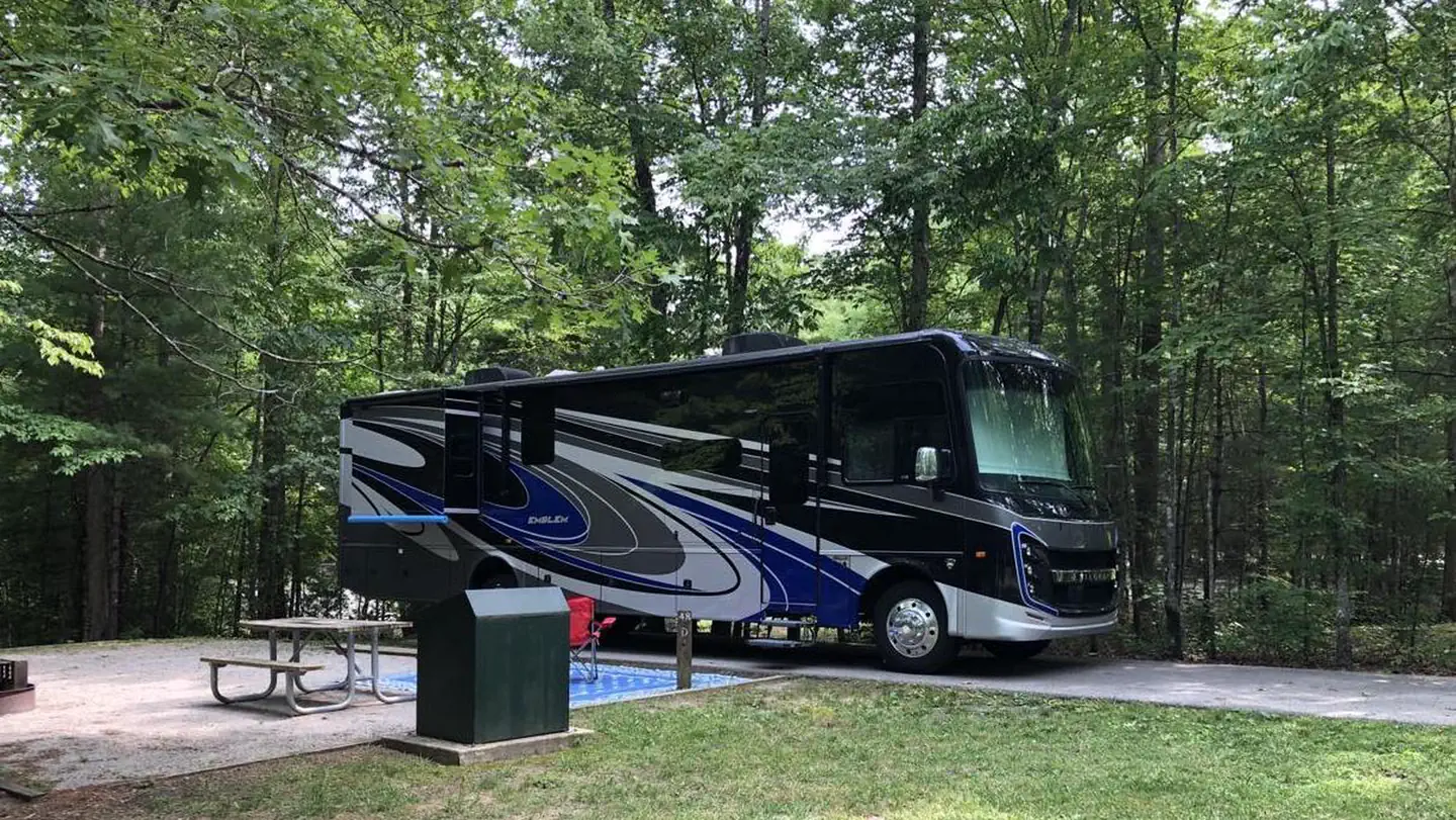
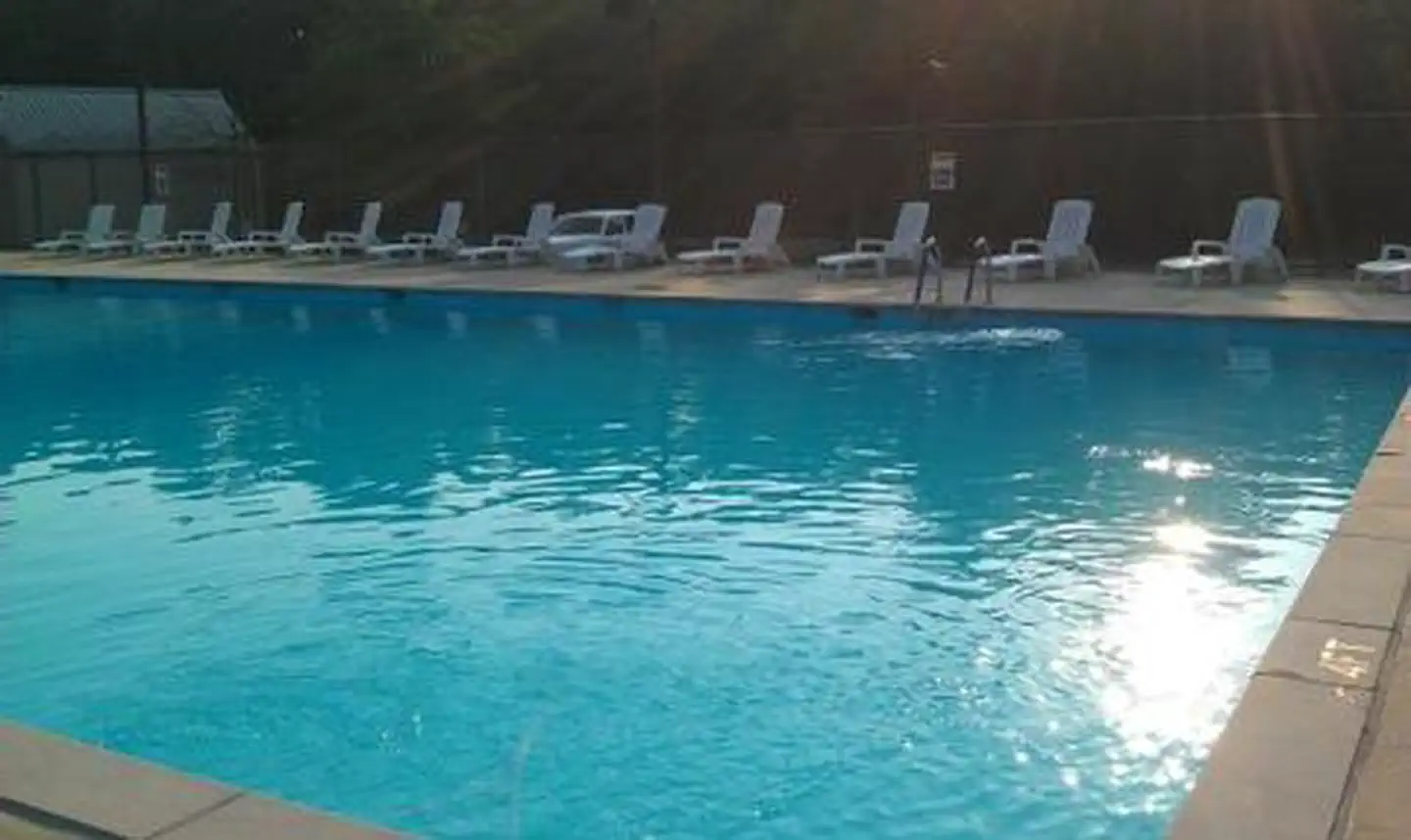
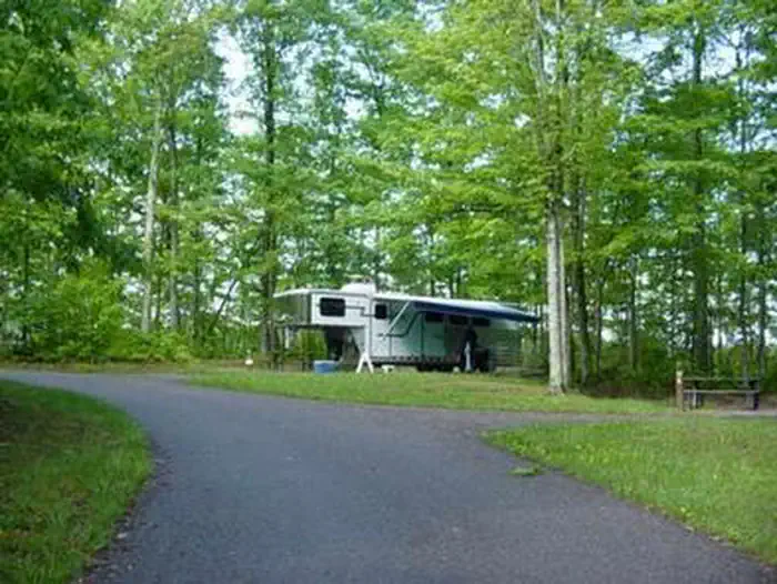
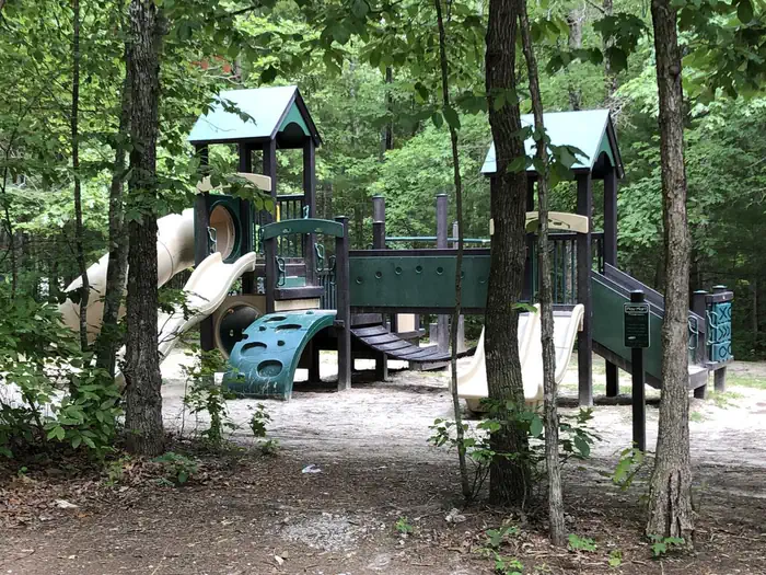
Overview Bandy Creek is a spacious and modern campground, situated in The Big South Fork National River and Recreation Area--a vast and scenic expanse of land that offers visitors countless recreational activities.Recreation Numerous trails snake through the Recreation Area, offering mountain biking, hiking and horseback riding for visitors. A swimming pool, along with on-site volleyball court, playgrounds and ball fields, make Bandy Creek an ideal spot for families. The main river of the Big South Fork is also a short drive away, offering fishing opportunities.Facilities Bandy Creek combines the experience of traditional woods camping with the modern conveniences of flush toilets, hot showers and electric hookups. Sites can accommodate groups and both RV and tent camping. The campsites are spacious and provide picnic areas and plenty of shade.Natural Features The Big South Fork is located in north central Tennessee and southeastern Kentucky in some of the most rugged terrain of the Cumberland Plateau. The park encompasses approximately 125,000 acres including rocky gorges and forested plateaus. Numerous pristine streams unite with the free-flowing Big South Fork of the Cumberland River. Over thousands of years, ceaselessly moving water has carved the sandstone of the plateau into impressive cliffs, arches and chimneys, which are found throughout the park. Nearby Attractions Located just under 20 miles from Bandy Creek is the Blue Heron Mine, also known as Mine 18, a historic abandoned mining town that has been rebuilt as an outdoor museum. Visitors can hear audio presentations from actual people who lived in the community in the 1950s.
Details
GPS 36.48895, -84.69756
Phone
None
Website
None
Nearby places
- Bandy Creek Visitor Center Campground (Free Public) 0.1 mi
- Station Camp Campground Campground (Paid Public) 5.3 mi
- Rock Creek #1 Dispersed Camping 8.8 mi
- Rugby Visitor Contact Station Campground (Free Public) 8.8 mi
- Great Meadows Campground Campground (Paid Public) 9.8 mi
- Rock Creek #2 Dispersed Camping 9.9 mi
- Helenwood Visitor Center Campground (Free Public) 10 mi
- Rock Creek #3 Dispersed Camping 11 mi
Check in
Share a visit note and optional photos for other travelers.
Sign in to check in, save this place, or add your own.
Recent check-ins
No check-ins yet for this place.