Bailey Cove
Shasta-Trinity Forest, California
Added
June 30th, 2026
Adventurer unlock
Directions, weather, and nearby services help you decide if this stop works tonight.
- Directions in Google, Apple, and Waze
- Weather, cell coverage, and elevation
- Nearby services and recent check-ins

About this place
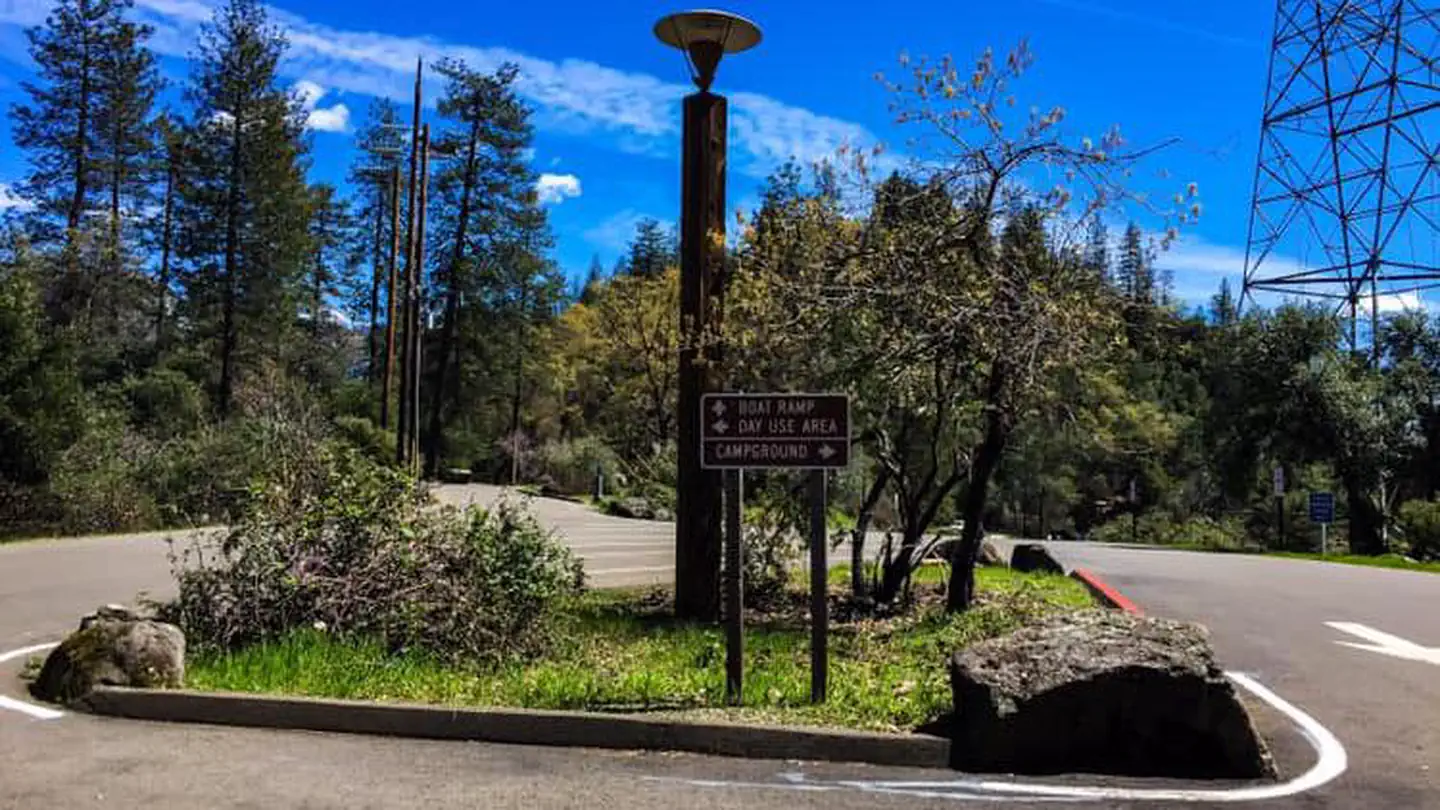
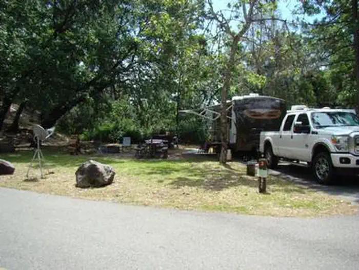
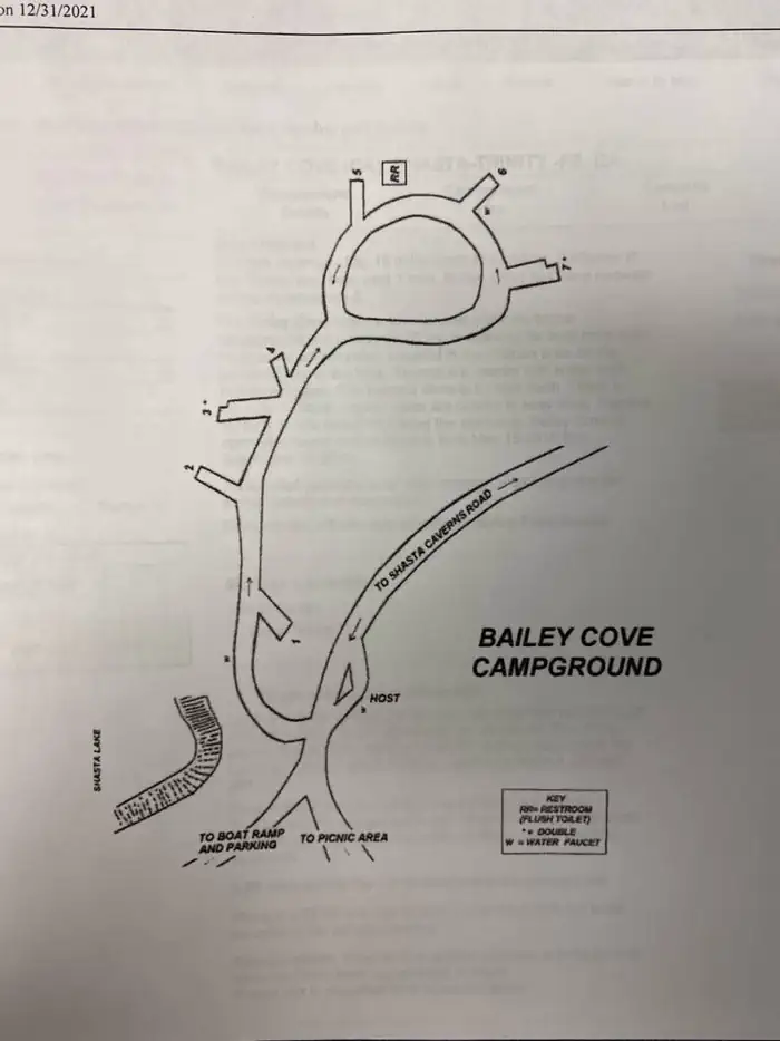
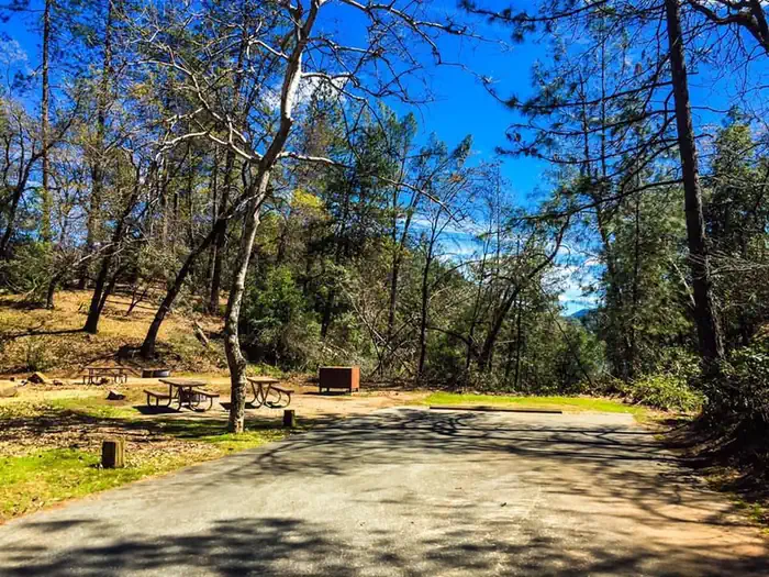
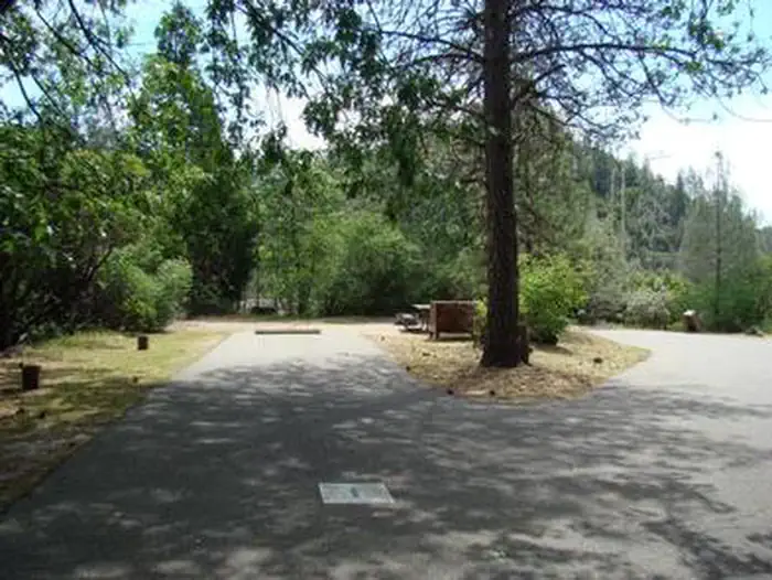
Overview Bailey Cove Campground is nestled in a forested area on the McCloud Arm of Shasta Lake. The site is a popular destination due to its convenient access from I-5 and the adjacent public boat ramp. The area surrounding the campground offers an abundance of recreational and sightseeing opportunities.Recreation The campground provides access to the 3-mile Bailey Cove Trail. This trail hugs the shoreline and is open to both hikers and mountain bikers. Lake Shasta attracts anglers due to its wide variety of fish. Boaters can access the lake via the adjacent boat ramp, and boat rentals are available nearby.Facilities Each of the 7 sites has a tent pad, picnic table, raised fire ring, bear boxes, and paved parking spur. Brick pavers have been used to provide added accessibility. Flush toilets and drinking water are provided. There is a day use area adjoined to the campground and boat ramp, which provides parking and restrooms and pic-nic tables with bbq's and hiking trails.Natural Features Shasta-Trinity is the largest national forest in California with a diverse landscape encompassing five wilderness areas, hundreds of mountain lakes and 6,278 miles of streams and rivers. Lake Shasta sits at an elevation of 1,067 feet, with 365 miles of shoreline punctuated by steep mountains blanketed in manzanita and evergreens. A snow-capped Mount Shasta, the second-tallest mountain in the Cascade Range, looms in the distance. This area boasts abundant wildlife. Osprey nests are often seen in the area around Bailey Cove Campground. Nearby Attractions Lake Shasta Caverns are also located on the McCloud Arm of Shasta Lake in an area know as the Grey Rocks. Tours are given daily at this privately owned facility. At an elevation of 3,500 feet, the nearby Hirz Mountain Lookout offers panoramic views of Mt. Shasta, Mt. Lassen and the surrounding area.
Details
GPS 40.80167, -122.28194
Phone
None
Website
None
Nearby places
- Obrien Dispersed Camping 1.1 mi
- Bailey Cove Public Boat Ramp Boat Ramp 1.8 mi
- Shasta-Trinity National Forest - Bailey Cove Boat Ramp Campground (Paid Public) 1.8 mi
- Bailey Cove Campground Campground (Paid Public) 1.9 mi
- Green's Creek Boat-in Campground Campground (Free Public) 2.2 mi
- Ski Island Boat-in Campground Campground (Free Public) 3.1 mi
- Shasta-Trinity National Forest - Packers Bay Boat Ramp Campground (Paid Public) 3.5 mi
- Packers Bay Public Boat Ramp Boat Ramp 3.6 mi
Check in
Share a visit note and optional photos for other travelers.
Sign in to check in, save this place, or add your own.
Recent check-ins
No check-ins yet for this place.