Arlie Moore Day Use
Degray Lake, Arkansas
Added
June 30th, 2026
Adventurer unlock
Directions, weather, and nearby services help you decide if this stop works tonight.
- Directions in Google, Apple, and Waze
- Weather, cell coverage, and elevation
- Nearby services and recent check-ins

About this place
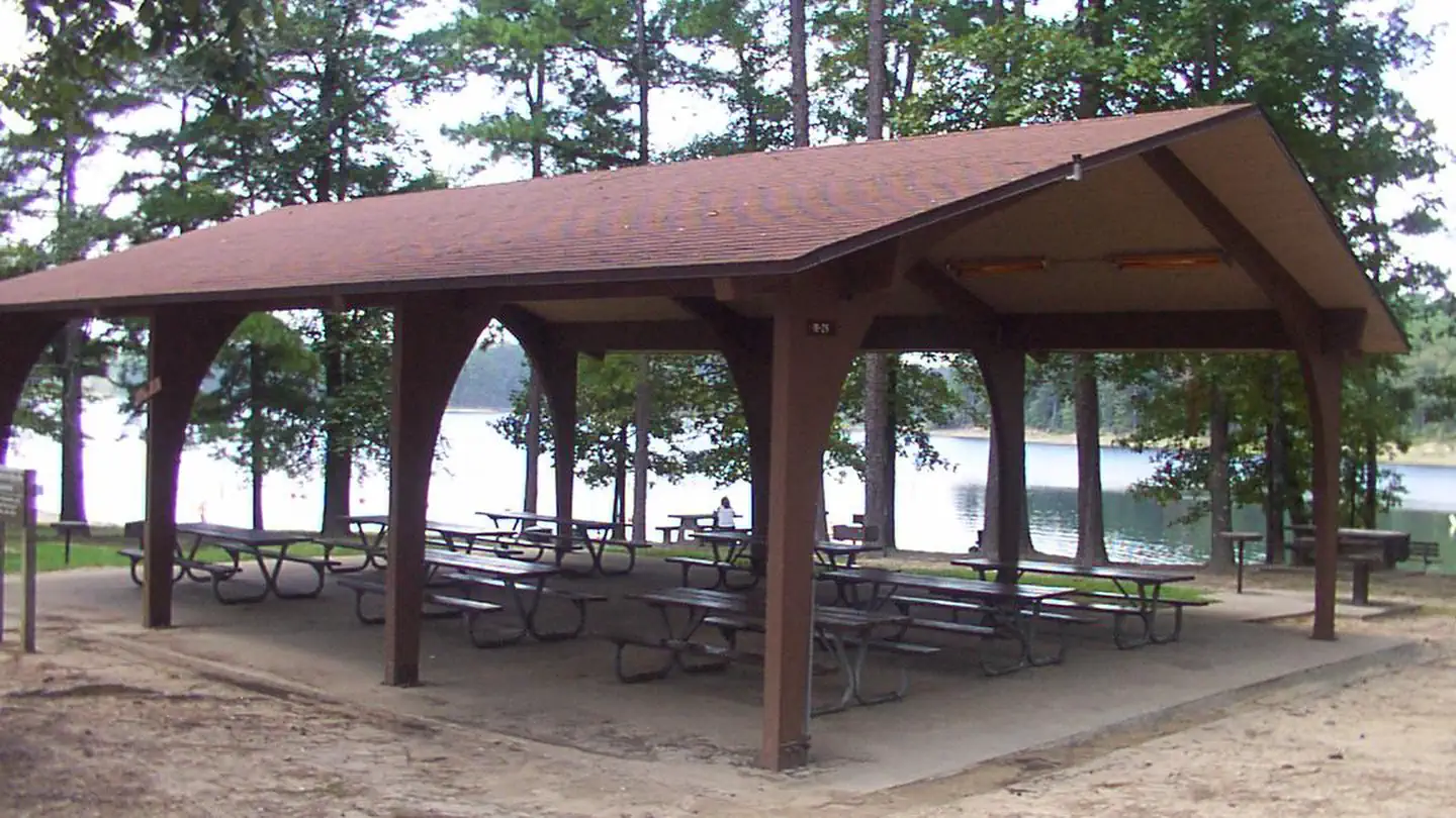
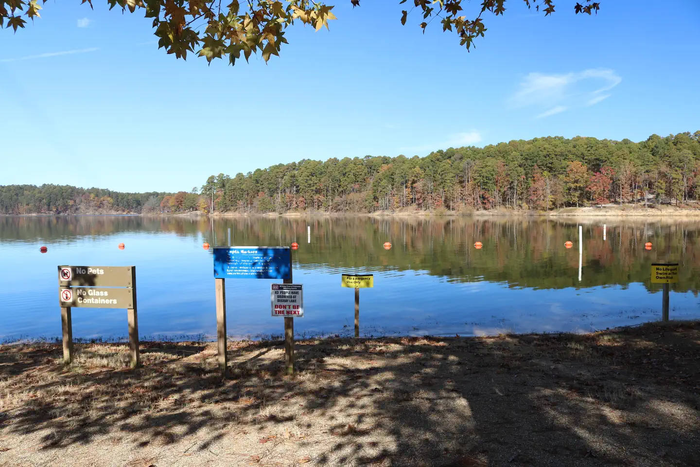
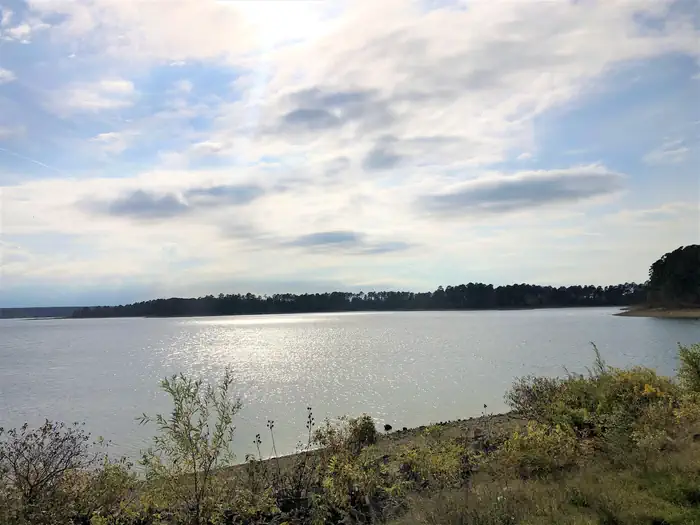
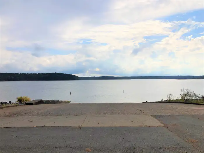
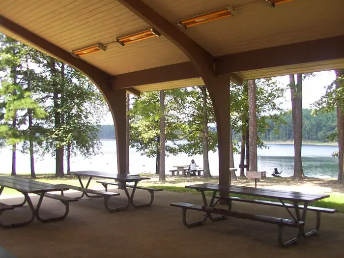
Overview Arlie Moore Campground and Day Use Area sits on the northern banks of DeGray Lake in the foothills of the Quachita Mountains. Hikers find Arlie Moore particularly inviting. In past years, the National Recreation Reservation Service selected the Arlie Moore Interpretive Trail as one of America's Top 25 Hiking Trails. Recreation Boating, water skiing, kayaking and other water sports are the biggest draw to the lake, and a boat ramp and swimming beach are provided. The lake is also stocked with a variety of game fish, including plenty of hybrid striped bass, making it an ideal area for both boat and bank fishing. Numerous hiking and bike riding trails wind around the lake shore, including the Arlie Moore Interpretive Trail. Facilities Arlie Moore offers a mix of RV, standard and tent-only campsites, each with electric hookups. Other amenities include flush toilets, heated showers, a boat ramp, swimming beach, interpretive trail, and a reservable group use shelter. The Arlie Moore Interpretive Trail is located in the Arlie Moore Recreation Area. The trail is a double segment loop, approximately 1.3 miles (2.2 kilometers) in length. The trail meanders through a mature southern pine forest. In 2002, the trail was rehabilitated in large part due to a partnership grant from ALCOA. To see USACE DeGray Lake Virtual Tour,click here Natural Features Degray Lake is one of the region's five Diamond Lakes, known for their crystal clear waters. The lake flows from the Caddo River in western Arkansas and spans 13,500 surface acres. Nearby Attractions The DeGray Lake Resort State Park offers golf courses, tennis courts, horseback riding trails and more along the 207 miles of lake shoreline. The Ouachita National Forest and Hot Springs National Park are both located nearby.
Details
GPS 34.26851, -93.20035
Phone
None
Website
None
Nearby places
- Arlie Moore Campground (Paid Public) 0.3 mi
- Caddo Drive Campground (Paid Public) 0.9 mi
- Caddo Drive Day Use Campground (Paid Public) 1.0 mi
- Edgewood Campground (Paid Public) 1.3 mi
- Oak Bower Group Use Area Campground (Paid Public) 1.4 mi
- Oak Bower Tourist Attraction 1.5 mi
- Alpine Ridge Campground (Paid Public) 1.7 mi
- Ozan Point Boat Ramp 2.0 mi
Check in
Share a visit note and optional photos for other travelers.
Sign in to check in, save this place, or add your own.
Recent check-ins
No check-ins yet for this place.