Payette River: Deer Creek
Payette River Corridor, Idaho
Added
June 30th, 2026
Adventurer unlock
Directions, weather, and nearby services help you decide if this stop works tonight.
- Directions in Google, Apple, and Waze
- Weather, cell coverage, and elevation
- Nearby services and recent check-ins

About this place
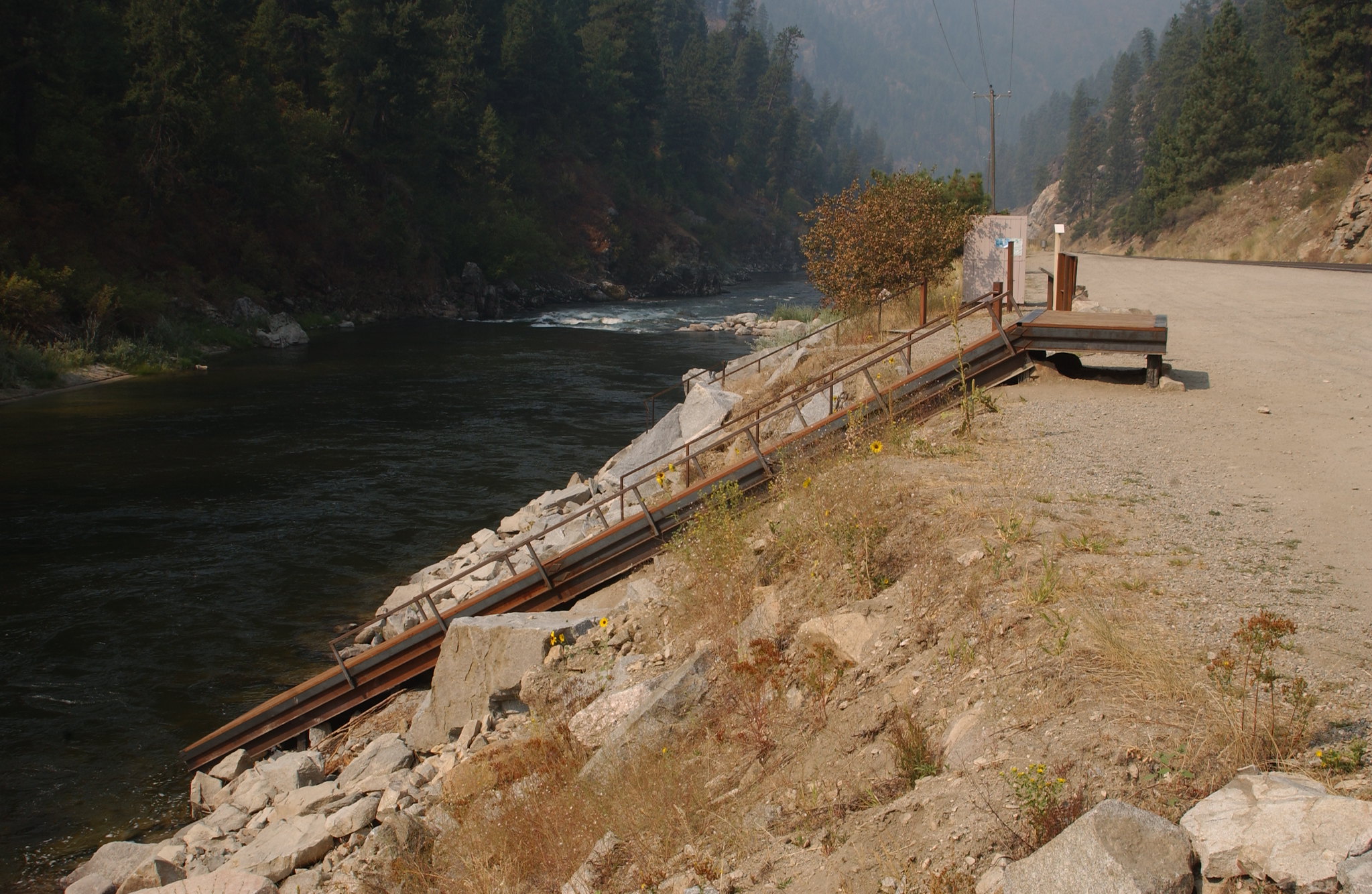
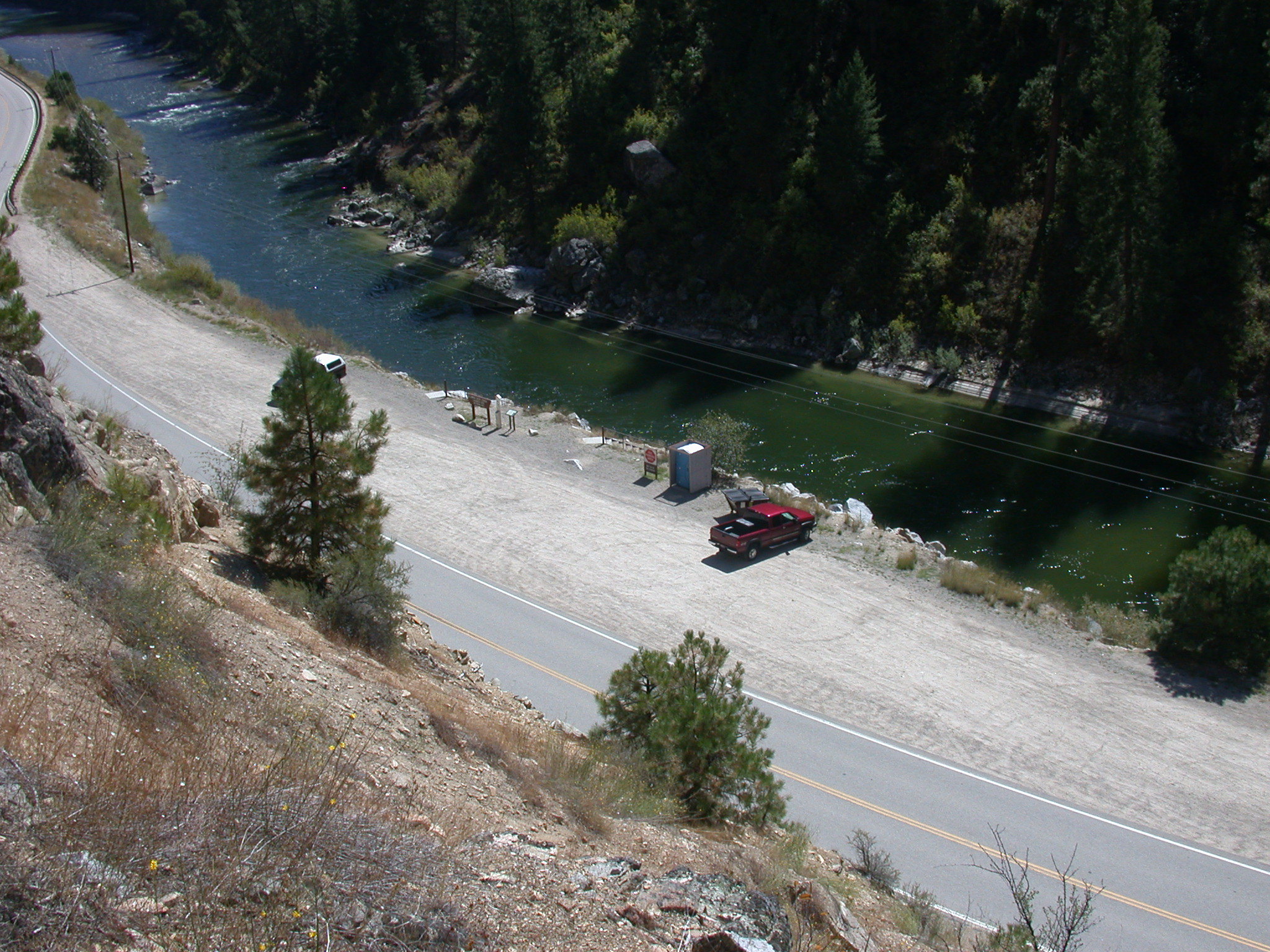
The South Fork Payette River is a classic pool-drop river cooperatively managed by the BLM and Boise National Forest. Deer Creek launch is a main put-in spot for the Class III-IV, "Staircase" section of the South Fork Payette River. many boaters will launch here to avoid the three miles of calm water from the Confluence Site. The site is essentially a very broad gravel area adjacent to the Banks-Lowman Highway. The facilities include a steep, steel and wood boat ramp, portable toilet, and information kiosk. This is a fee parking area - $5.00/day or $30.00 season pass for the Boise National Forest Annual Day Use Pass. Day passes are available on-site.Purchase online Boise National Forest Annual Day Use PassPayette River Maps (Boater's Guide)
Details
GPS 44.09222, -116.03250
Phone
None
Website
None
Nearby places
- Payette River: Confluence Boat Ramp 1.5 mi
- Middle Fork Payette River Wildlife Habitat Area Wildlife Area 2.4 mi
- Banks River Access Campground (Free Public) 4.2 mi
- Boise National Forest Day Use Pass Campground (Paid Public) 4.2 mi
- Payette River: South Fork Campground (Free Public) 4.9 mi
- Station Creek Trailhead Trailhead 5.9 mi
- Hot Springs Campground (Paid Public) 6.1 mi
- Hot Springs Campground Campground (Paid Public) 6.7 mi
Check in
Share a visit note and optional photos for other travelers.
Sign in to check in, save this place, or add your own.
Recent check-ins
No check-ins yet for this place.