Buckhollow Boat Ramp
Lower Deschutes Wild and Scenic River, Oregon
Added
June 30th, 2026
Adventurer unlock
Directions, weather, and nearby services help you decide if this stop works tonight.
- Directions in Google, Apple, and Waze
- Weather, cell coverage, and elevation
- Nearby services and recent check-ins

About this place
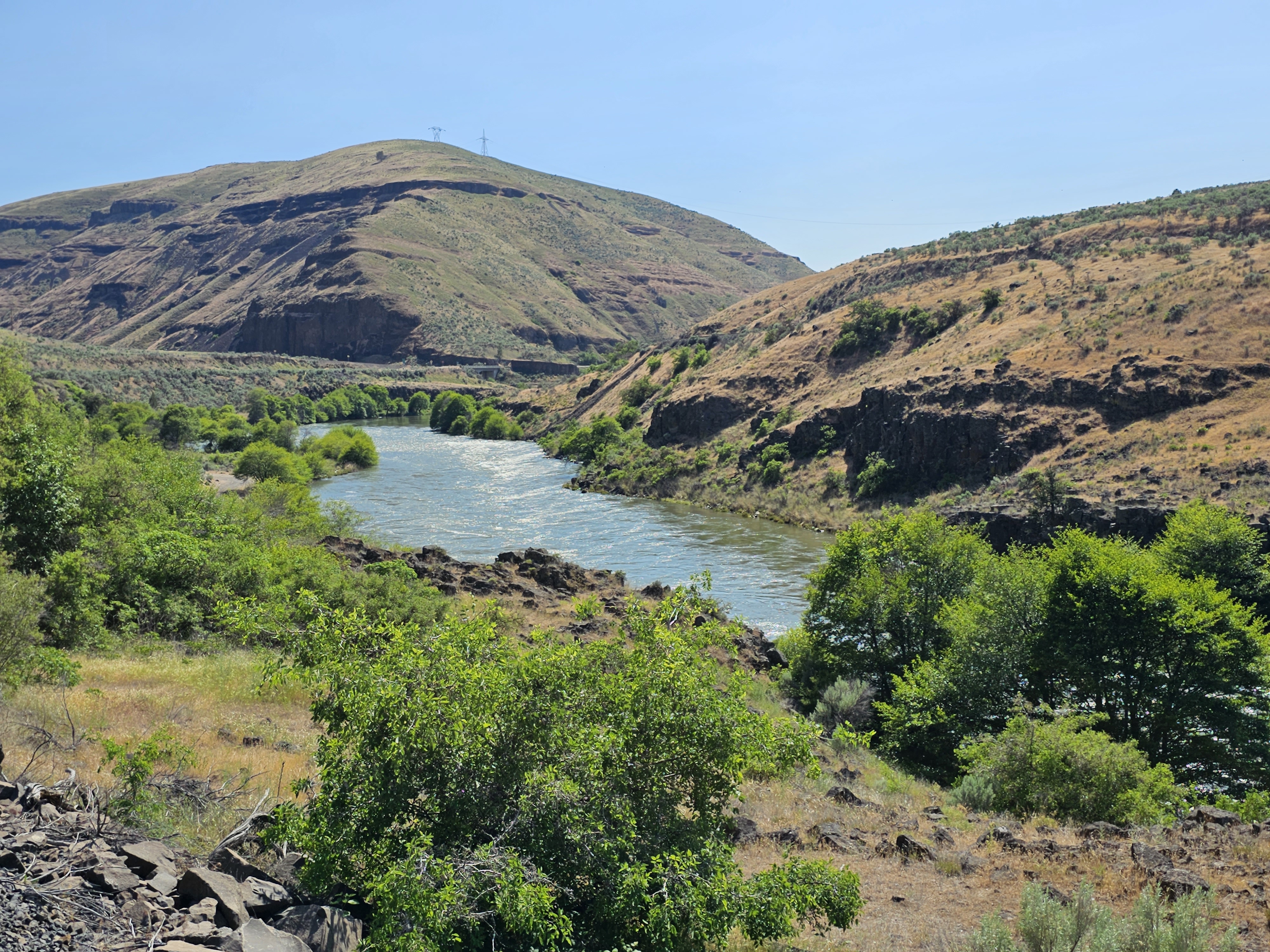
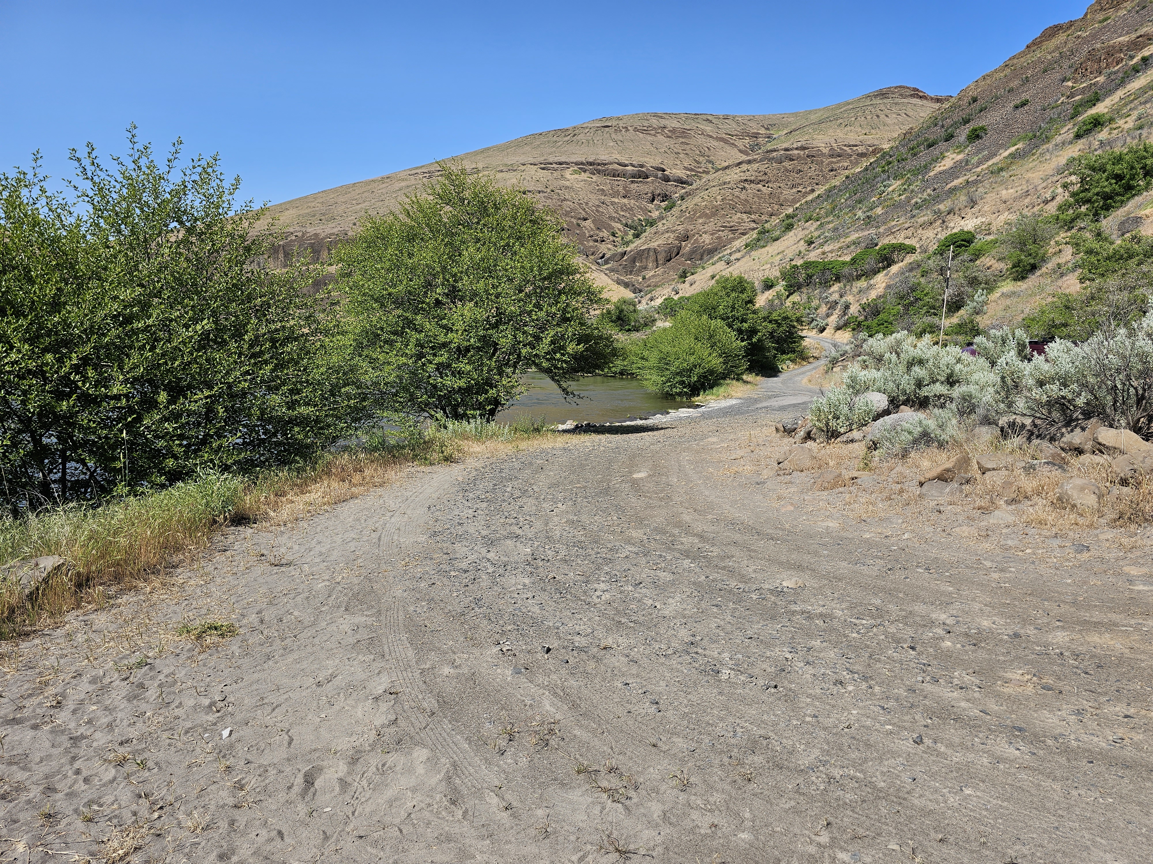
The furthest northern leg of the Lower Deschutes Back Country Byway gives way from asphalt to gravel and becomes a dead-end road beyond State Highway 216. Here, boaters on the Lower Deschutes Wild and Scenic River can access the river at the primitive boat ramp near mouth of Buck Hollow Canyon.Know Before You GoThe narrow and rocky road accessing river is tightly wedged against the side hill. Turnaround space is limited, allowing for boats to be unloaded only. Vehicles and trailers must park up on the main Deschutes River Access Road.A short but steep access trail allows people to easily descend the hill from the upper parking area.A restroom and interpretive display offer information regarding day use areas and campgrounds on the lower Deschutes River.Campfires and smoking are allowed only from October 16 through May 31, annually, unless posted otherwise.Point of InterestNorth of Buckhollow Boat Ramp, the graveled Lower Deschutes River Back Country Byway traverses another 17 miles where it terminates at Macks Canyon Campground.
Details
GPS 45.26720, -121.01842
Phone
None
Website
None
Nearby places
- Twin Springs Campground Campground (Free Public) 3.0 mi
- Jones Canyon Campground Campground (Free Public) 4.1 mi
- Oakbrook Day Use Area Fishing Access 4.2 mi
- Beavertail Campground Campground (Free Public) 5.9 mi
- Rattlesnake Canyon Campground Campground (Free Public) 6.4 mi
- Lower Deschutes River Boater Pass Campground (Paid Public) 6.8 mi
- Maupin Section Foreman House Historic Site Tourist Attraction 7.5 mi
- Macks Canyon Recreation Site Campground (Free Public) 11 mi
Check in
Share a visit note and optional photos for other travelers.
Sign in to check in, save this place, or add your own.
Recent check-ins
No check-ins yet for this place.